
10 Beginner-Friendly Virginia Trails That Look Straight Out Of A Fall Movie Every Fall
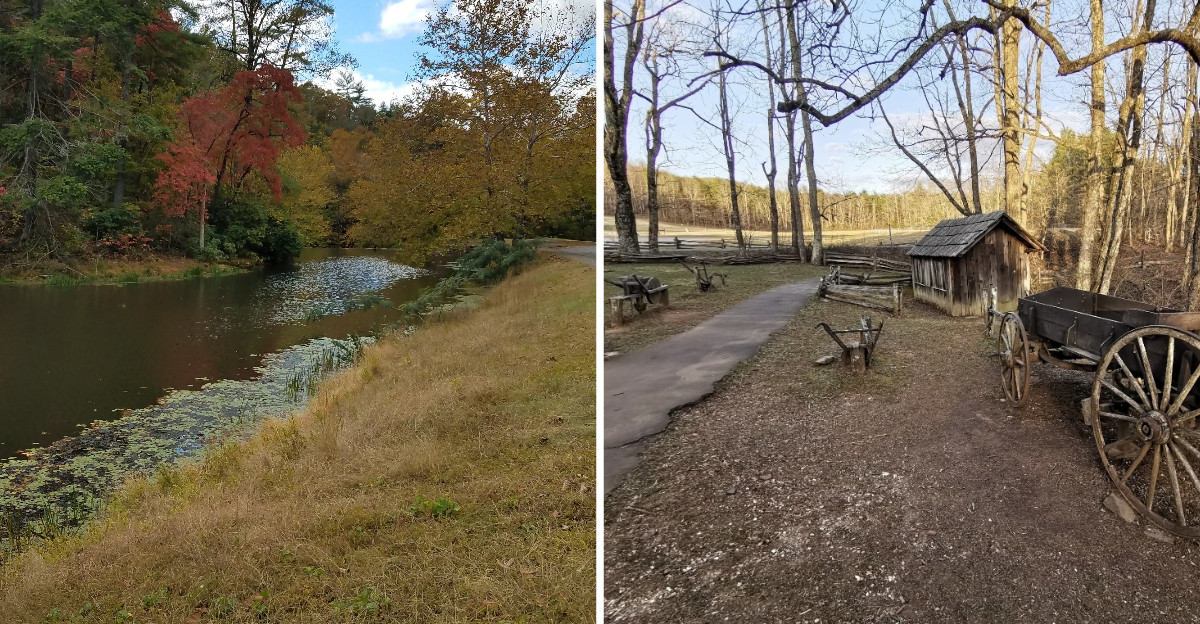
One trail on this list is surfaced with crushed greenstone and built five feet wide.
That means a stroller can roll right through a high mountain forest.
Virginia does fall color in a big way, and the Blue Ridge gets most of the attention.
The surprise is how many of the prettiest views sit at the end of short, gentle walks. You don’t have to haul a giant pack up a peak to get the postcard.
One stop crosses a Civil War-era bridge 125 feet above a river. Another winds through coastal cypress trees that drop their needles like a maple drops leaves.
Your hardest climb might be getting out of the car.
1. Limberlost Trail
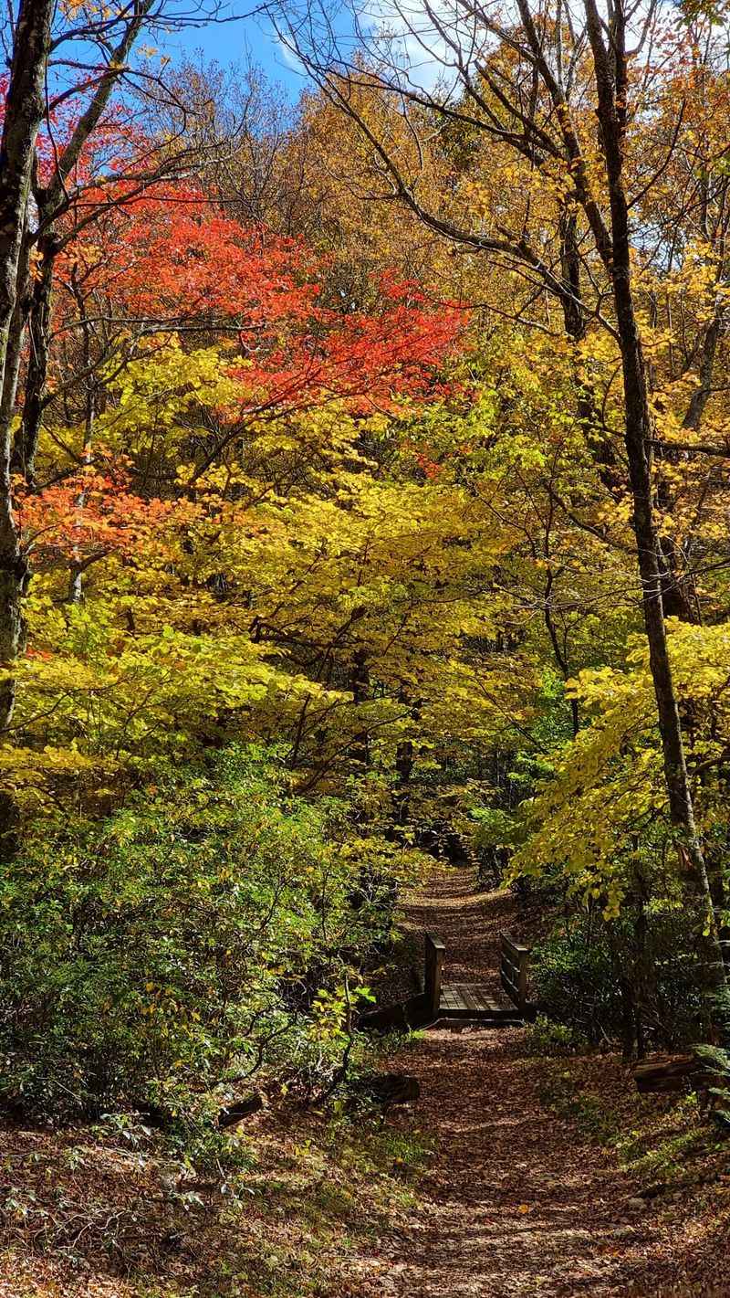
Few mountain trails welcome wheels, but this one was built for them. Limberlost Trail is a 1.3-mile loop with a crushed greenstone surface typically about five feet wide.
That firm path accommodates wheelchairs and strollers, although it has gentle changes in grade and a few narrower sections. The National Park Service lists approximately 130 feet of elevation gain, so the walk feels pleasantly manageable.
And the trees are the whole show here. Oaks rise over ferns and mountain laurel, creating a woodland atmosphere that feels wonderfully removed from Skyline Drive.
In fall, the canopy turns gold and bronze, and fallen leaves gather beside the pale trail. Look up occasionally, because the higher branches provide much of the color.
The route includes benches and places to pause. A self-guided Kids in Parks TRACK Trail activity also turns the loop into a little nature challenge for families.
Find the trailhead at Skyline Drive milepost 43 in Shenandoah National Park, near Luray. The supplied Luray highway address is useful for reaching the park region, but milepost 43 identifies the actual parking area.
Dogs aren’t permitted here, apart from service animals. Park entrance requirements apply, and Skyline Drive may close temporarily during icy weather.
This suits groups mixing toddlers, grandparents, and anyone who prefers leaves to steep climbs. Everybody gets the same lovely forest experience.
2. Stony Man Trail
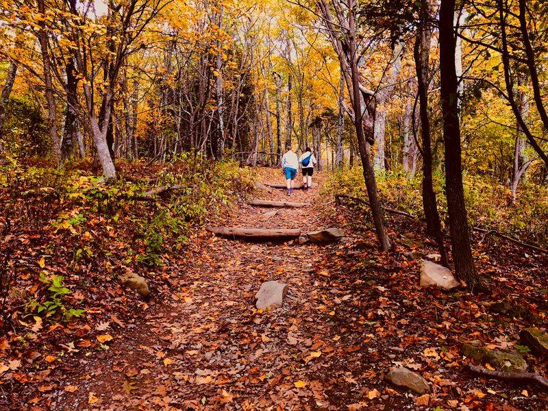
Big payoff, small effort. Stony Man Trail is short, scenic, and only moderately uphill, yet it ends on rocky crags that feel far wilder than the walk suggests.
The National Park Service rates this 1.6-mile round-trip hike among Shenandoah’s easiest, although its 340 feet of elevation gain means a steady ascent. Comfortable shoes and a relaxed pace help make the outing enjoyable.
Follow the Appalachian Trail briefly from the parking area, then take the blue-blazed Stony Man Trail toward the viewpoint. The summit is the second-highest peak in the park, a mountain known for its distinctive profile.
Up top, broad views stretch across the Shenandoah Valley toward Massanutten Mountain. In October, distant ridges and wooded slopes become a patchwork of russet, yellow, and orange.
This is the kind of view that makes everyone stop talking for a moment. Then the cameras come out.
For the correct starting point, look for Stony Man parking at Skyline Drive milepost 41.7, near Luray, rather than relying on a general mountain address.
The path itself is relatively gentle, but the rocky overlook has exposed edges. Keep children nearby and stay back from the drop. Strollers aren’t suitable, and pets aren’t allowed, though service animals are welcome.
Bring a light layer for cooler summit breezes. There’s no need to hurry; the valley makes an impressive final scene.
3. Virginia Creeper National Recreation Trail
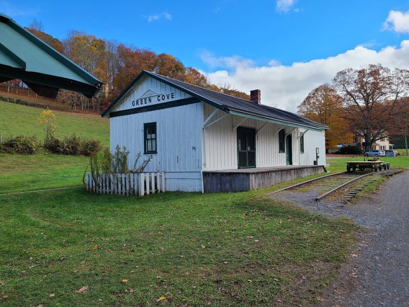
Trains used to chug along this route, and now the only engines are your legs. The Virginia Creeper National Recreation Trail follows an old railroad corridor through southwestern mountains and farmland.
The full route extends about 34 miles, but beginners can enjoy a short out-and-back walk without committing to a daylong adventure. Its former rail alignment provides mostly gradual grades.
The important choice in 2026 is where to begin. The section from Abingdon to Damascus remains open, while the upper route between Damascus and Whitetop Station is closed for reconstruction. Its scheduled reopening is March 31, 2027.
For a simple autumn outing, start near the Abingdon trailhead at 303 Green Spring Road, Abingdon. Walk as far as you like, then return along the same path.
Another scenic access point is Alvarado Station, where the corridor follows the South Fork Holston River. Woodland stretches, old rail features, and colorful creekside trees make the open route rewarding.
Cyclists share the trail, so stay to the right and give others space. Early fall mornings can feel chilly, especially beside the water.
Damascus remains a welcoming trail town, but don’t continue east into the marked construction area. Respect the signs and save the celebrated upper trestles for a future visit.
The open western section still delivers that unmistakable autumn rail-trail atmosphere, with room to explore.
4. Abbott Lake Trail
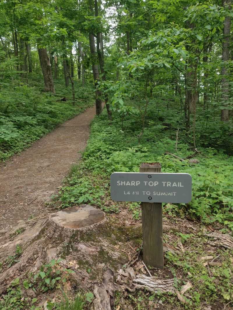
Mirror, mirror, on the lake. At Abbott Lake, Sharp Top mountain shows up twice, once in the sky and once upside down in the water.
The Abbott Lake Trail forms an easy one-mile loop at Peaks of Otter, beside the Blue Ridge Parkway. Its accessible path follows grassy shoreline and woodland.
On calm fall days, the reflections steal the show. Orange and red hillsides double in the water, and the effect looks almost too neat to be real.
Bring your camera, but also bring patience. The best reflections appear when the breeze settles and the lake turns glassy.
History adds another point of interest. Polly Wood’s Ordinary, a nineteenth-century stopping place that provided early lodging in the area, stands near the lake.
The path suits mixed-age groups and provides a much gentler outing than the strenuous climb to nearby Sharp Top summit. It’s also a Kids in Parks TRACK Trail, with activities designed to encourage young explorers.
Use the Peaks of Otter access at Blue Ridge Parkway milepost 85.6, near Bedford. Parking and visitor facilities are concentrated around the lodge and nearby developed area.
The mountain setting makes this a pleasant parkway stop. Seasonal services vary, and weather may affect road access.
Stay longer if you can. Golden light on Sharp Top turns an ordinary lakeside stroll into something memorable.
5. Roaring Run Loop Trail
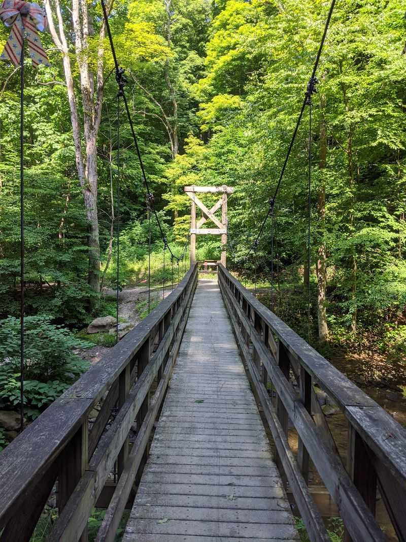
An old stone furnace, a rushing creek, and a waterfall finale sound like a fancy movie set. Roaring Run Loop Trail delivers that lineup on a short, beginner-friendly walk.
The roughly 1.5-mile route combines the Streamside and Woodland trails in the Jefferson National Forest. Along the creek, rustic footbridges cross lively water beneath rocky slopes and changing hardwood leaves.
The creek lives up to its name. You’ll hear cascades through much of the walk, with an occasional clear view into shallow pools.
Then comes the history. Roaring Run Furnace dates to 1832 and once produced iron. Its substantial stone walls remain beside the woodland route, with signs explaining the old operation.
A short spur of about one-tenth of a mile leads toward Roaring Run Falls, a roughly 30-foot cascade. Admire it from the designated viewing area, since wet stone near the water can be extremely slippery.
Set your navigation for the day-use entrance at 450 Roaring Run Rd, Eagle Rock. The recreation area is in Botetourt County, northwest of Eagle Rock.
Vault toilets and picnic areas make a lunch stop straightforward, but drinking water isn’t available, so bring your own. Leashed dogs can accompany hikers on the trail.
The woodland loop offers a little climbing and uneven ground rather than a paved stroll. Still, its manageable distance and variety make it a satisfying first waterfall hike.
6. High Bridge Trail
Most trails ask you to climb for a view, but this one hands it over at 125 feet in the air. High Bridge Trail sends you across a towering bridge above the Appomattox River.
The bridge stretches more than 2,400 feet long. It’s the longest recreational bridge in Virginia, and crossing it feels like walking above a carpet of trees.
In fall, the treetops below turn orange and gold, while the river winds through the wooded valley. The historic railroad crossing gives you a lofty viewpoint without a mountain ascent.
The trail spans 32.2 miles, but its former rail bed is wide and surfaced with finely crushed limestone. Short outings work well here.
To approach the bridge from the east, use High Bridge Station at 1466 Camp Paradise Road, Rice. It’s only about three-tenths of a mile from the span, making this a convenient beginner option.
The River Road parking area at 555 River Road in Farmville provides a western approach of approximately one mile.
A separate trail closure near downtown Farmville is scheduled through November 2026 for bridge repairs, so check the access notices before planning a longer route.
Restrooms and drinking water are available at High Bridge Station. The park opens from sunrise to dusk.
Bring a jacket for breezes on the crossing, and allow time for photographs over the Appomattox.
7. Mabry Mill
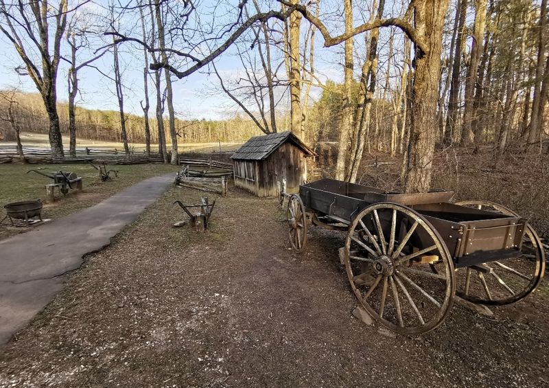
If autumn had an official portrait, it might be this wooden mill with its water wheel beside a pond. Mabry Mill ranks among the most photographed stops on the Blue Ridge Parkway.
The nearby Mountain Industry Trail is an easy half-mile walk, winding past preserved mountain buildings and opening onto the classic view of the mill reflected in the water.
The site stands near Meadows of Dan at Blue Ridge Parkway milepost 176.2. Drivers can also use the local destination address, 266 Mabry Mill Rd, Meadows of Dan, for navigation.
Miller and craftsman Ed Mabry built the operation in the early 1900s. The property includes his gristmill, sawmill, and blacksmith shop, providing a glimpse of Appalachian work and everyday life.
Matthew’s Cabin adds another point of interest. Constructed in 1869 near Galax, it was relocated to the parkway and furnished to interpret nineteenth-century mountain living.
During scheduled seasonal programs, rangers open buildings and demonstrate traditional crafts. The 2026 mill open-house season concluded in early November, so indoor access isn’t a year-round promise.
The pond is especially pretty when copper and gold leaves frame the waterwheel. You can enjoy that scene without undertaking a long hike.
Parkway access depends on weather, particularly as temperatures cool. Check road conditions before setting out, then take your time around this wonderfully photogenic little corner of the mountains.
8. Otter Lake Loop Trail
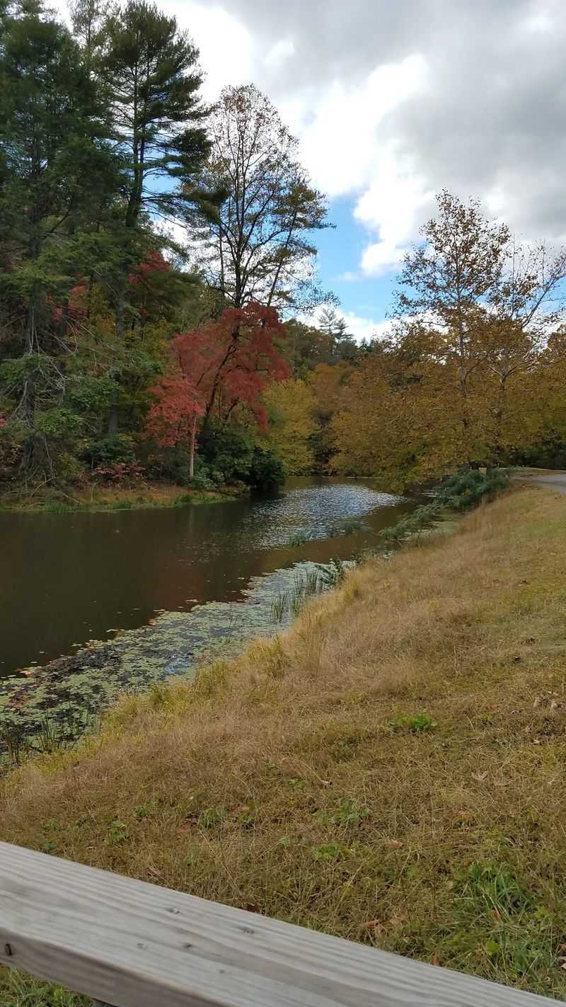
Quiet water, a stone dam, and a ring of fall trees make a pretty strong case for slowing down. Otter Lake Loop Trail gives you all three on a short woodland walk.
The National Park Service lists this loop at about 0.9 miles, near Blue Ridge Parkway milepost 63.1 in Amherst County. Its wooded route circles Otter Lake and offers glimpses of the water between trees.
That short distance is encouraging for new hikers. Still, the path has rocky ground, steps, and a few steeper spots, so it isn’t as easy as a flat paved lakeside promenade.
The clearest views often come near the dam and along open stretches of shore. In autumn, changing leaves appear above the still surface while the creek provides gentle background sounds.
Look for signs of wildlife, too. The National Park Service highlights beaver lodges and dams along nearby tributaries, especially around dawn and dusk.
For directions, use the Otter Lake parking area on the Blue Ridge Parkway near Monroe, VA 24574, rather than treating the town address as an exact trailhead.
The nearby James River corridor offers additional short walks for another stop.
A parkway construction closure near mileposts 63.5 to 63.9 affects through-driving in November 2026. Check the approaching road segment before traveling.
Take your time over uneven sections, and let the quiet forest set the pace.
9. Cedar Creek Trail
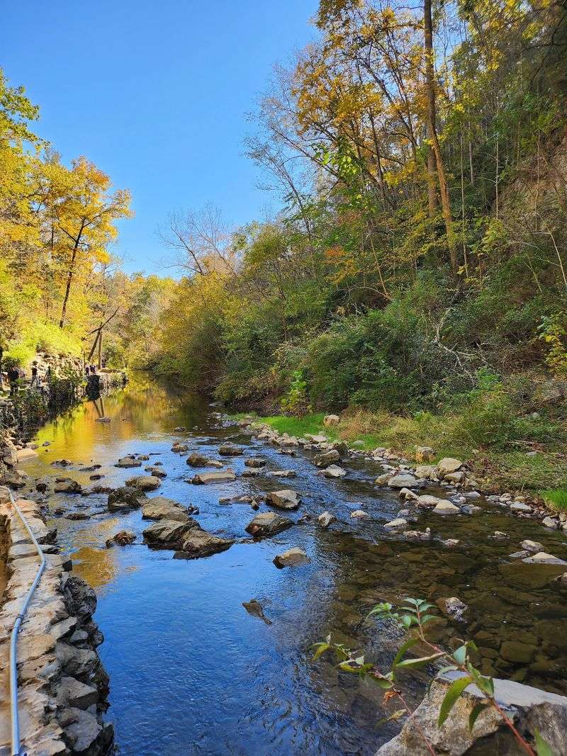
Walking under a 200-foot stone arch is not your average Saturday stroll. Cedar Creek Trail at Natural Bridge State Park makes the remarkable view available after a short descent into a wooded gorge.
The stone formation rises above a creek that gradually shaped the limestone landscape. In fall, bright foliage along the gorge creates an especially striking contrast with its pale rock walls.
History adds another layer. Thomas Jefferson once owned Natural Bridge, and the site is a designated National Historic Landmark.
Beyond the arch, the trail follows Cedar Creek toward Lace Falls, a cascade approximately 50 feet tall. You can turn around after seeing the bridge or continue deeper into the gorge if you’re comfortable walking farther.
The practical detail is important: reaching the trail from the visitor center involves 137 stairs. The creekside route is generally gentle, but the return climb makes it more demanding than a level beginner walk.
The park can arrange access assistance for people with mobility needs upon request. Strollers aren’t recommended for the staircase, and appropriate footwear helps on the natural sections of trail.
The visitor center stands at 6477 South Lee Highway, Natural Bridge. Admission is required to enter the gorge trail.
Bring a little water, watch your footing, and allow time to enjoy the perspective beneath the arch. Even a short visit here feels surprisingly grand.
10. Bald Cypress Trail
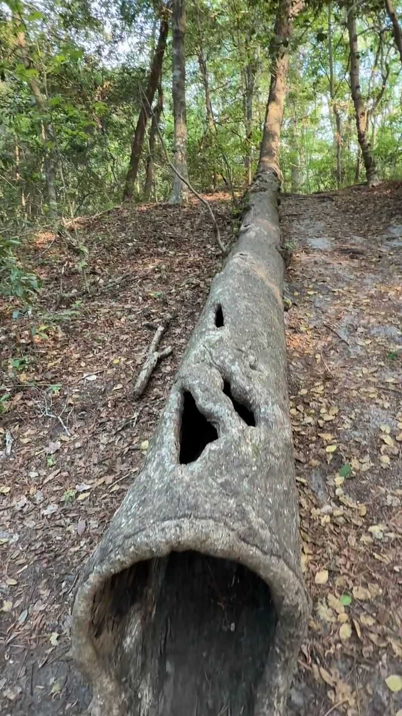
Here’s a fun twist for your fall bucket list. The trees on this coastal trail are conifers that still change color and drop their needles.
Bald Cypress Trail winds through First Landing State Park in Virginia Beach, combining boardwalk sections with sandy woodland paths. The park’s trail guide measures it at 1.8 miles and calls it moderate.
Bald cypress trees turn copper and rusty orange in autumn. Against dark swamp water and hanging Spanish moss, the scene looks moody and a little magical.
Think less mountain postcard and more mystery movie. It’s the perfect change of pace after a season of ridge views.
Boardwalks cross wet sections and reach viewing platforms above the swamp. Cypress knees rise from shallow water, creating strange shapes among the roots.
Start at the Trail Center, reached through the park entrance at 2500 Shore Drive, Virginia Beach. Parking is available nearby, but weekends can be busy enough for lots to fill.
Sandy patches and tree roots make comfortable walking shoes helpful. Dogs may accompany you on a leash, and bicycles belong on other designated park trails.
Fall color along the coast often arrives later than in the mountains. That gives you another opportunity to catch the season’s changing palette.
The still water mirrors copper branches and overhead light. Slow near the boardwalk, where reflections create cinematic scenes.