Winter Driving On Nebraska’s I-80 Gets Dangerous Fast And These 8 Stretches Need The Most Care
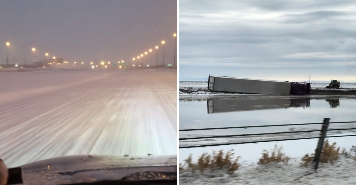
A bridge deck can glaze over with ice while the highway right next to it stays perfectly wet. That one fact explains a lot about winter on I-80 in Nebraska.
Cold air hits a bridge from above and below, so it loses heat much faster than solid ground.
Now stretch that problem across roughly 455 miles of interstate. The road climbs thousands of feet from the Missouri River to the Wyoming line.
Wind has almost nothing to slow it down along the way.
I love a long prairie drive, but I respect this road in January. Blowing snow can turn a clear afternoon into a white wall in minutes.
Familiar exits can look like strangers.
So which parts of the drive deserve your full attention? Some answers are obvious.
A few might surprise even the folks who make this trip every week.
1. Omaha Metro Interchanges
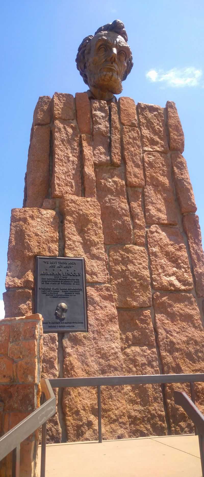
City driving feels safer, right up until a ramp starts acting like a skating rink. Omaha’s tangle of flyovers linking I-80 with I-480 and I-680 is full of elevated concrete.
Elevated surfaces lose heat from every side. That means ramps and overpasses can freeze before the surface streets below them show any trouble.
Black ice is the sneaky part. It often looks like plain wet pavement, especially under streetlights and headlight glare.
Traffic adds pressure here that you won’t find out west. Drivers merge, change lanes and hunt for exits all at once, often at highway speed.
Give yourself extra room before every curve on a ramp. Braking hard in the middle of a bend on ice rarely ends the way you hope.
Plan your lane early so you’re not cutting across traffic at the last second. A missed exit costs you five minutes, while a slide costs a lot more.
Watch for road crews too, since metro work zones can shift lanes and speeds. Slow and steady through the interchanges beats fast and frantic every single winter.
Address: Interstate 80 at the I-480 and I-680 interchanges, Omaha, NE
2. Greenwood to Gretna Platte River Crossing
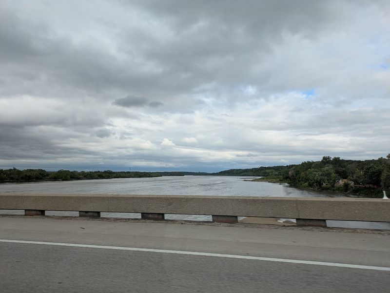
Rivers make lovely scenery in summer and tricky driving in winter. Between the Greenwood exit and Gretna, I-80 crosses the Platte River valley on bridges that sit right in the cold air.
Moisture from the river can feed fog and frost on chilly mornings. Pair that with bridge decks, and you get a recipe for slick spots that appear out of nowhere.
Traffic on this stretch is heavy because it links Lincoln and Omaha. Commuters, freight haulers and travelers all squeeze through the same lanes.
When a winter storm brings strong wind, this corridor can see crashes stack up quickly. Closures between these exits have happened during blizzards, stranding drivers for hours.
So check conditions before you leave Lincoln or Omaha. Nebraska 511 shows closures, road conditions and camera views, and it’s worth a peek before you buckle up.
Ease off the cruise control on the approach to the river. You want full control of your speed if the bridge turns glassy under your tires.
Leave a long gap behind trucks, too. Spray off big rigs can coat your windshield in a heartbeat.
Address: Interstate 80 between Exit 420 Greenwood and Exit 432 Gretna, NE
3. Lincoln to York
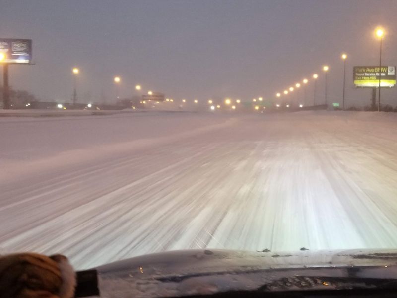
Leave Lincoln heading west, and the city fades fast into open farm country. That change in scenery brings a change in driving, too.
Fields along this stretch offer little to block the wind. Loose snow can lift off the ground and drift across lanes even after the storm has passed.
Drivers sometimes relax here because the sky looks clear. Blowing snow doesn’t care about blue skies, and it can hide the lane lines in seconds.
Overpasses for county roads pop up regularly along this route. Treat each one as its own little ice risk, even if the road before it felt fine.
Your best friend on this run is patience. Lower your speed when the wind picks up, and keep both hands on the wheel.
Headlights help other drivers see you in drifting snow. Turn them on even during the day when visibility starts to drop.
Keep a winter kit in the car before any long Nebraska drive. Blankets, water, snacks, a phone charger and a scraper take up little space and can make a long wait much easier.
Address: Interstate 80 between Lincoln, NE and Exit 353 York, NE
4. Grand Island to Kearney
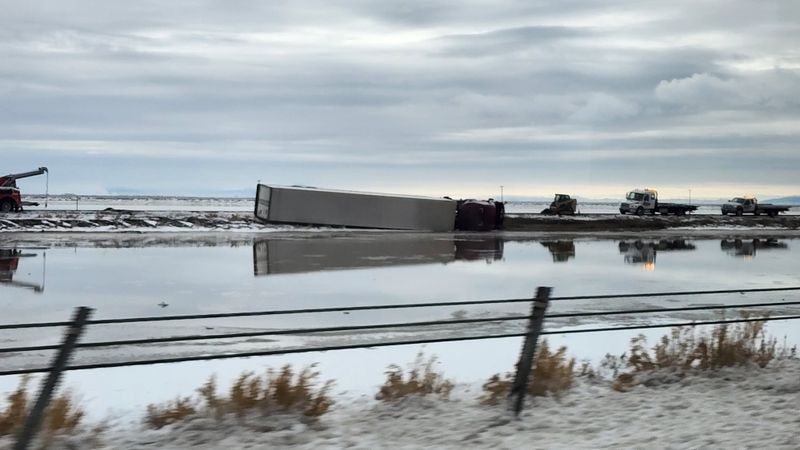
Semis rule this stretch, and crosswinds love to push them around. The Platte Valley between Grand Island and Kearney is wide, flat and heavily traveled by freight.
Strong winter wind can nudge a tall trailer toward the next lane. If you’re passing, that’s the moment you don’t want to be right alongside it.
Pass quickly and cleanly, or hang back and wait. Lingering next to a big rig in a gusty crosswind is a gamble you can skip.
Snowfall here can look mild while wind does the real damage. A light dusting can turn into ground blizzard conditions once gusts get going.
Fun fact for the road: the Platte River runs alongside the interstate for much of this drive. In spring, sandhill cranes gather here by the hundreds of thousands, though winter brings far fewer visitors.
Bridges over the river channels and creeks deserve extra caution. Ice tends to linger on them longer than on the main road.
Watch your mirrors for drivers who don’t slow down. Giving them room is easier than arguing with them at highway speed.
Address: Interstate 80 between Exit 312 Grand Island, NE and Exit 272 Kearney, NE
5. Kearney to North Platte
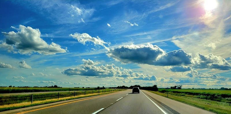
Somewhere near Cozad, you cross the 100th meridian, the line long tied to where the drier West begins. The drive starts to feel bigger from here.
Towns like Lexington, Cozad and Gothenburg break up the miles. Between them, though, the gaps feel longer when the weather turns sour.
Long, straight highway can lull you into a trance. Highway hypnosis is real, and it’s twice as risky when snow starts swirling.
Take a break in one of the towns if you feel drowsy. A short stop to stretch and warm up beats pushing through tired eyes.
Temperatures can swing on this stretch as weather systems move across the plains. Rain can switch to freezing rain, leaving a thin glaze you might not notice.
Look for warning signs like ice building on your mirrors or wipers. If your car is collecting ice, the road probably is too.
Keep your gas tank at least half full out here. Fuel stops are common enough, but a full tank means heat if you get stuck waiting for a road to reopen.
Address: Interstate 80 between Exit 272 Kearney, NE and Exit 177 North Platte, NE
6. North Platte to Sutherland
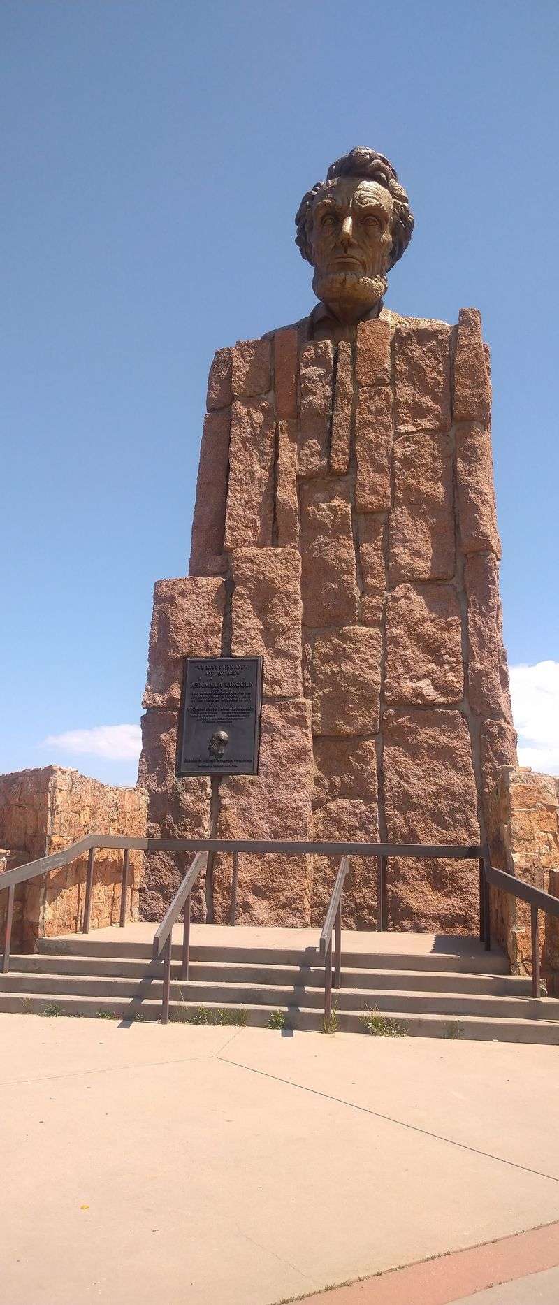
North Platte is a classic stopping point, and the road west of town tests your nerve. The interstate here sits between the North and South Platte rivers before they join near town.
River valleys can trap cold air on calm nights. That can mean fog, frost and slick spots at dawn, even when the forecast looked friendly.
Wind is the other big player toward Sutherland. Gusts can kick snow across the lanes and shrink visibility to a few car lengths.
When you hit a whiteout, slow down gradually rather than slamming the brakes. Sudden stops invite the driver behind you into your back seat.
Follow the right edge line if you can see it. Never stop in a travel lane, and pull fully off only where it’s safe.
North Platte makes a smart place to pause and check Nebraska 511. If the road west looks rough, waiting it out in town is a very reasonable plan.
Plenty of travelers do exactly that during storms. Nobody hands out medals for driving into a blizzard.
Address: Interstate 80 between Exit 177 North Platte, NE and Exit 158 Sutherland, NE
7. Ogallala to Big Springs
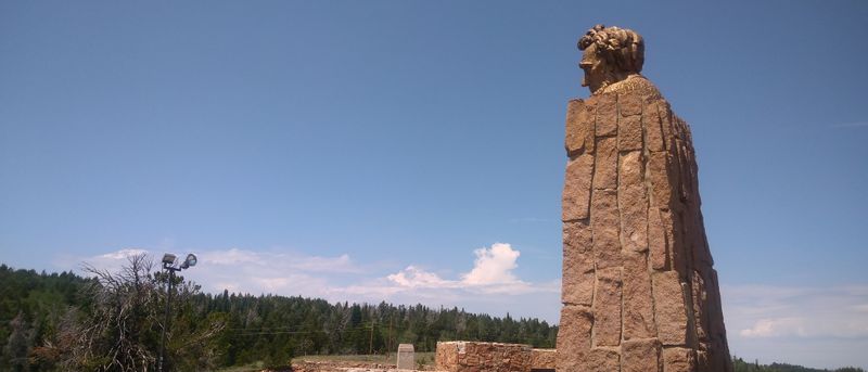
Big Springs hosts one of the most important forks in the state. Near there, I-76 splits off toward Denver, and lots of traffic changes lanes to follow it.
Merges and splits are tricky enough on dry pavement. Add packed snow and low visibility, and the signs can sneak up on you.
Know your route before you reach the junction. Last-second lane changes on a slick road are where trouble starts.
Ogallala sits just east, near Lake McConaughy, Nebraska’s largest reservoir. The countryside here grows more open and rolling as you head west.
Services become more spread out on this part of the drive. That makes a stocked car and a charged phone even more valuable.
The high plains can stir up quick weather changes. A calm stretch can turn breezy and snowy within a few miles.
Drop your speed early, and keep a steady pace instead of speeding up and slowing down. Smooth inputs keep your tires gripping when the pavement gets slippery.
Address: Interstate 80 between Exit 126 Ogallala, NE and Exit 107 Big Springs, NE
8. Sidney to the Wyoming Line
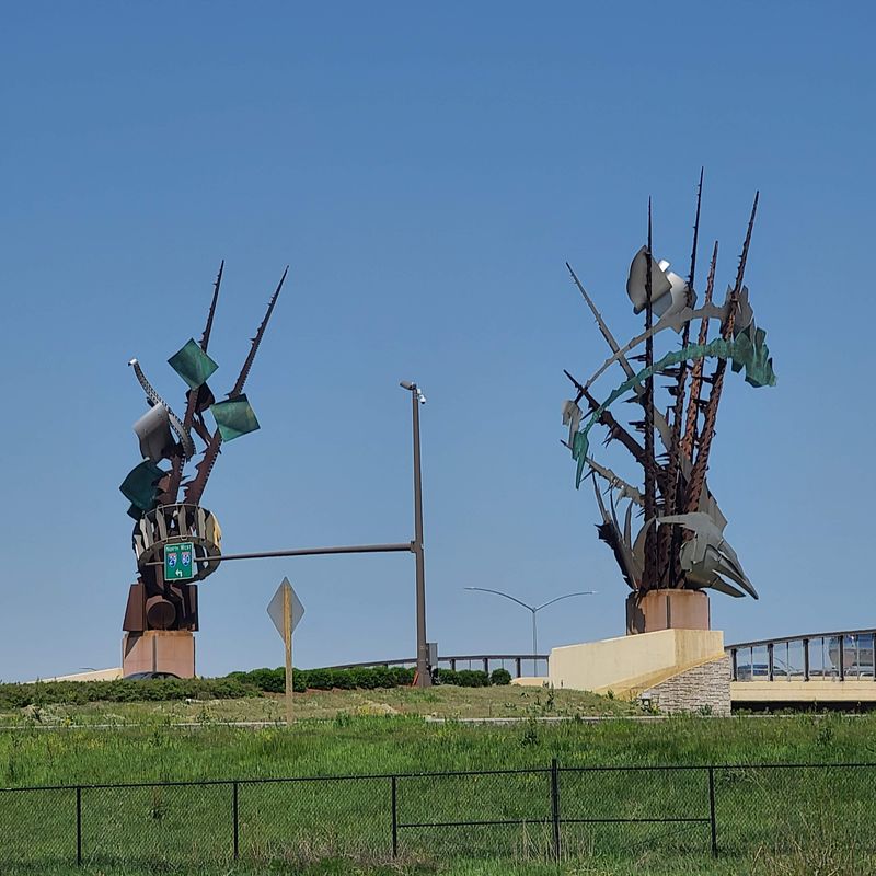
Nebraska’s highest point sits in Kimball County, and the interstate climbs to meet it. By the time you reach the Panhandle, you’re far above where the trip began in Omaha.
Higher ground often means colder air and stronger wind. Snow can blow sideways for hours here, long after the clouds clear.
Towns like Sidney, Potter and Kimball are spaced out along the route. Between them, you’ll see lots of open prairie and not much shelter.
Wyoming’s side of the line is famous for wind and closures too. Check conditions in both states before heading west, since the trip doesn’t get easier past the border.
Fuel up in Sidney or Kimball when you can. Running low out here in a storm is a stress you don’t need.
If the road closes, find a spot in town and settle in for a while. Restaurants and motels in these Panhandle towns know the drill well.
Patience wins on this last stretch. The road will still be there tomorrow, and you’ll be in much better shape to enjoy it.
Address: Interstate 80 between Exit 59 Sidney, NE and the Wyoming State Line