11 Bay Area Bike Trails That Feel Miles Away From California’s Crowds In 2026
There is a certain point on a good bike ride when the city seems to disappear behind you.
Traffic noise thins out. The path opens up. You stop checking intersections and start noticing birds, water, hills, and the strange luxury of having several quiet miles ahead.
That kind of escape is still surprisingly possible around the Bay Area, where California riders can slip onto trails that feel far removed from the region’s usual rush.
The routes here are not all about speed or serious mileage.
A few are perfect for an easy morning spin. Others reward stronger legs with longer stretches, bigger views, and enough solitude to make the ride feel like a mini getaway.
Choose the trail based on what you need that day.
A little exercise? Fresh air? A place where your phone stays in your pocket for an hour? These 11 rides deliver all three, with plenty of scenery in between.
1. Alameda Creek Regional Trail, Fremont
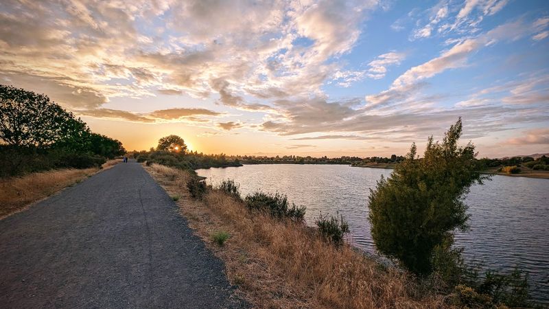
Levee riding gets a bad reputation for being plain, but this route proves otherwise once the city noise fades behind the trees.
Roughly 12 miles of path follow Alameda Creek from the Niles area toward San Francisco Bay, with long stretches that stay well away from road traffic.
Cyclists usually favor the southern side, which stays paved until the intertidal zone, where the surface shifts to gravel.
Terrain is largely flat, so newer riders and families often manage it without much strain. Birdlife along the creek and nearby wetlands keeps the scenery changing, especially in winter and early spring when migrating flocks pass through.
Access points include the Niles Staging Area and Isherwood Way in Fremont, though smaller lots may fill on sunny weekends.
Early mornings and weekdays generally feel calmer, and the light across the water is softer then too.
Shade stays limited across the open sections, so a hat, sunscreen, and extra water make the ride more comfortable.
2. Iron Horse Regional Trail, Pleasanton To Concord
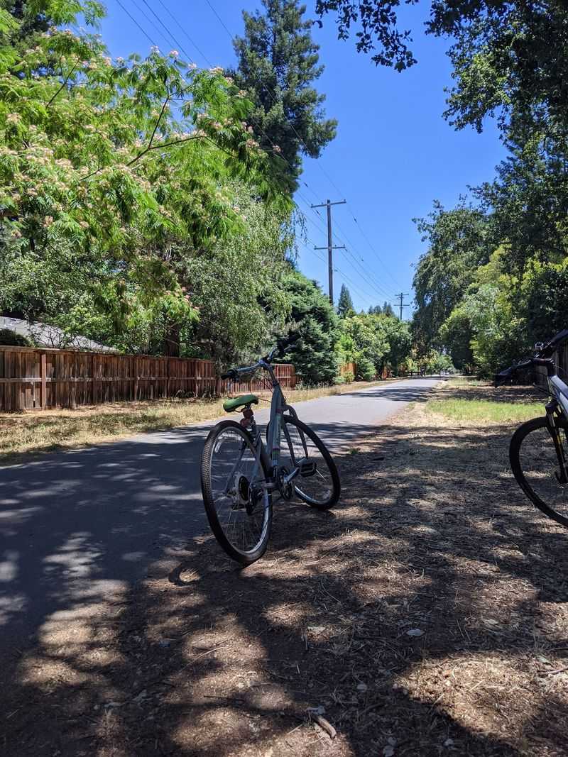
Old railroad grades make wonderfully forgiving bike routes, and this converted corridor is one of the longest in the East Bay.
The paved path runs about 32 miles between Marsh Drive in Concord and Stanley Boulevard in Livermore, passing through Pleasanton, Dublin, San Ramon, Danville, Alamo, Walnut Creek, and Pleasant Hill along the way.
Future plans call for extending the corridor to roughly 55 miles.
Because the route generally parallels Interstate 680, it serves commuters as well as weekend riders.
Popularity varies by segment, and the sheer length means quieter stretches are easy to find in the early morning or later afternoon.
The Danville portion offers semi-shaded riding through neighborhoods and a walkable downtown, with bridges that carry riders safely over busy intersections.
3. Palo Alto Baylands Trails, Palo Alto
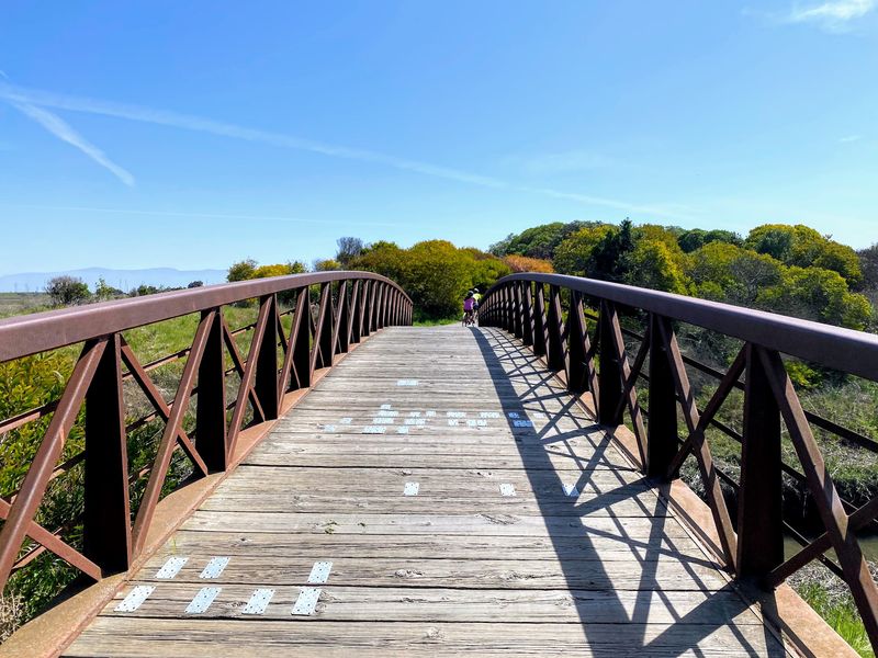
Over 15 miles of multi-use trail wind through tidal marsh here, and the openness is startling for a place wedged beside Silicon Valley.
The preserve is considered one of the better birdwatching areas on the West Coast, with marshlands supporting a large bird population and serving as a stopover along the Pacific Flyway.
Sloughs, mudflats, and grassy channels shift in color depending on the tide.
Paths run mostly flat and gravelly, with occasional asphalt and boardwalk sections mixed in. Wider tires handle the loose surface more comfortably than skinny road tires.
Shade is nearly absent out on the marsh, so sun protection and water matter even on mild days. Weekday mornings usually bring fewer people and cooler air, plus better odds of catching birds actively feeding.
Access points include the Lucy Evans Baylands Nature Interpretive Center. Parking near the center puts riders close to several trail junctions.
4. Joe Rodota Trail, Santa Rosa To Sebastopol
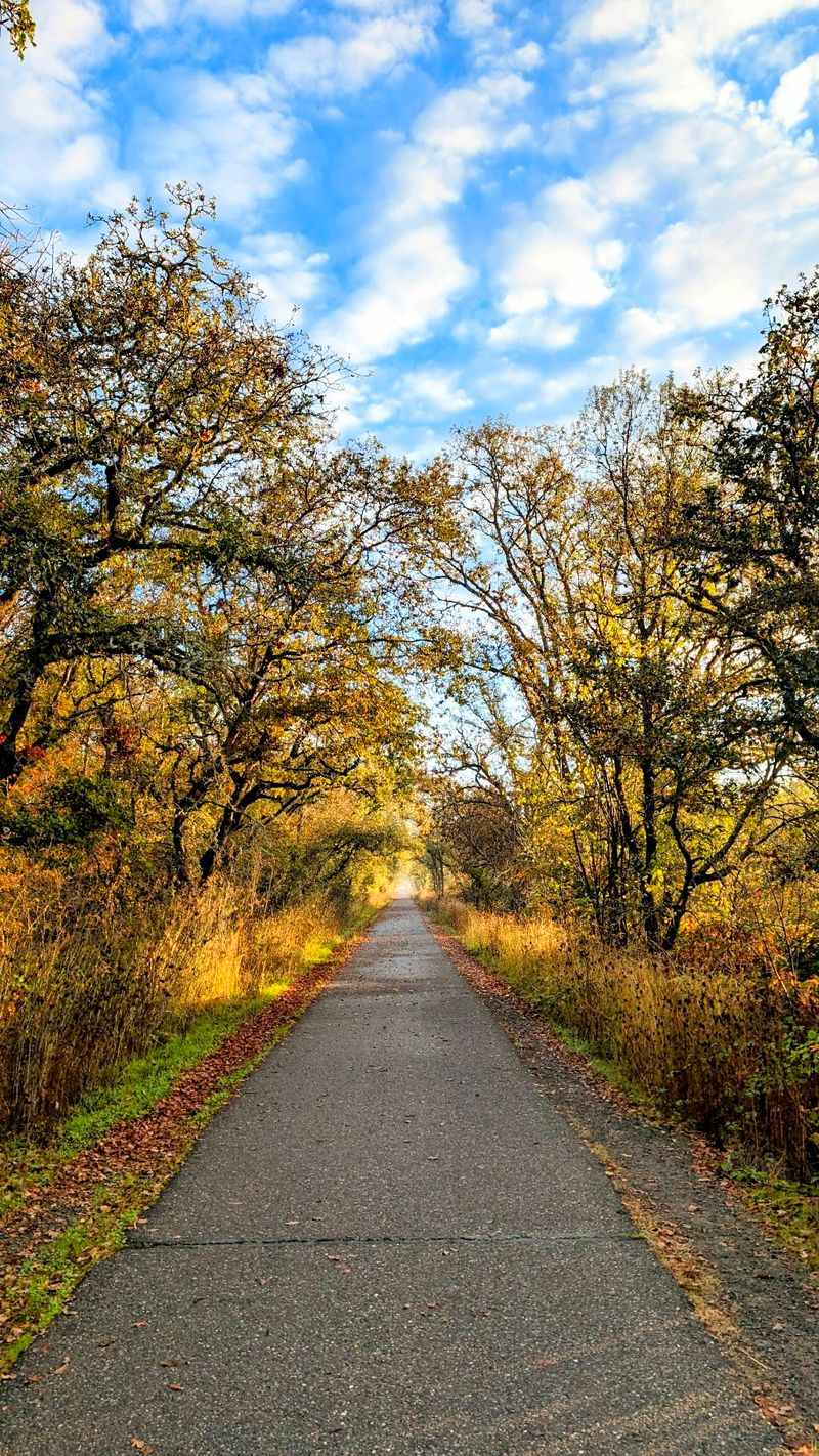
Farm country rolls past quickly on this 8.5-mile paved corridor linking downtown Santa Rosa with Sebastopol.
Car-free riding is the main draw, and the smooth surface makes the miles pass without much effort. Views open onto farmland, the Laguna de Santa Rosa, and the hills that ring the valley.
Width and flat grade make the trail workable for families, runners, and walkers alongside cyclists. Rural midsections generally feel the least crowded, especially compared with the ends near town.
Fall and spring bring the most pleasant riding conditions, with softer light and cooler temperatures than midsummer afternoons.
Access is possible from several public streets across Sonoma County, which allows shorter segments instead of the full distance.
Encampments have been present along parts of the route, and local authorities have been working to address the situation. Riders who prefer a quieter stretch often start closer to the Sebastopol end.
Pairing the trail with a stop in Sebastopol turns a straightforward out-and-back into a fuller half-day outing, and the flat return keeps tired legs from complaining much.
5. Napa River Bay Trail, American Canyon
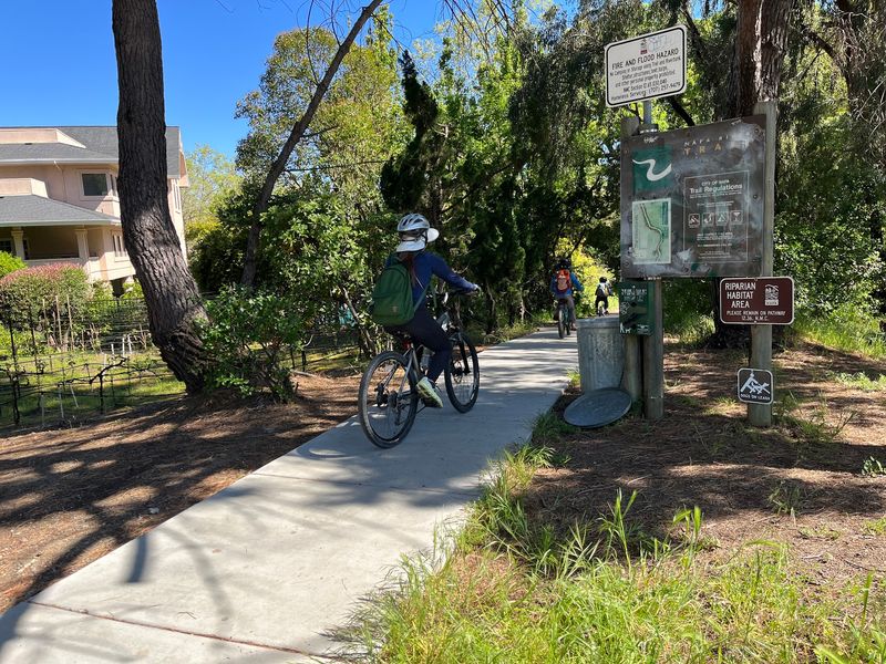
Gravel changes the whole mood of a ride, slowing things down and pulling attention toward the surroundings.
This Bay Trail segment runs roughly six miles each way beside the Napa River, with wetlands and wildlife habitat filling the view.
Much of the surface is gravel rather than pavement, so hybrid, gravel, or mountain bike tires make far more sense than narrow road tires here.
Marsh channels, levee edges, and open water give the route a remote character despite its proximity to town.
Wading birds and raptors are common sights across the wetlands, particularly outside the hottest hours.
Flat terrain keeps the effort manageable, though loose sections can feel slower than the mileage suggests. Allowing extra time for the return leg is a reasonable habit.
Shade is minimal along the levees, and wind off the water may be noticeable in the afternoon. Sunglasses, water, and a light windbreaker cover most comfort needs.
Crowd levels on this specific stretch are not well documented, but wetland Bay Trail segments often feel quiet compared with urban waterfront paths.
6. San Francisco Bay Trail, East Bay Shoreline Sections
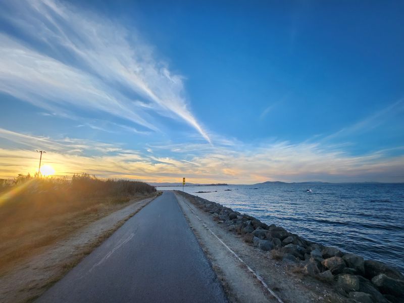
More than 350 miles of the San Francisco Bay Trail are already complete, and the trick to finding solitude is simply choosing wisely.
Shoreline portions in the East Bay that pass marshes and regional parks generally feel far calmer than the well-trafficked San Francisco waterfront segments.
Restored wetlands along these stretches attract shorebirds and offer wide, uninterrupted views across the bay.
Surfaces vary segment by segment, mixing pavement with packed gravel, so checking the specific section before heading out helps set expectations. Flat terrain is the norm, which makes long distances feel reasonable.
Wind is the real factor along exposed shoreline, and planning an out-and-back that starts into the breeze pays off later. Layers help, since temperatures near the water can run cooler than a few miles inland.
Regional parks along the way provide restrooms and picnic areas at intervals, though facilities are not evenly spaced. Weekday mornings and off-season months usually bring the emptiest paths.
7. Bay Trail Near The Palo Alto Baylands
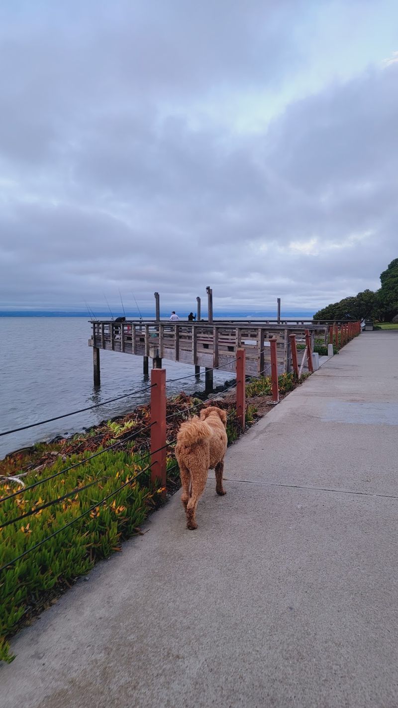
Marshland and bird habitat dominate the view along this Bay Trail segment, and buildings barely register at all.
Flatness is the defining quality, which makes the ride friendly for anyone easing back into cycling or towing a child seat. Paths run mostly level and gravelly, and they work equally well for walking or jogging.
The surrounding Palo Alto Baylands Preserve protects a large tract of undisturbed marsh, and the sense of openness is unusual for a location this close to tech campuses.
Migratory birds use the area as a significant stopover, so seasonal variety in the birdlife is considerable.
Tide levels influence what shows up in the channels, and lower water often concentrates feeding birds closer to the trail. Moving slowly and pausing often beats charging through at speed.
Wind and sun exposure are constant companions out on the flats, so a brimmed cap under a helmet and plenty of water improve the outing. Early hours generally offer the stillest air.
8. California Riding And Hiking Trail, Contra Costa County
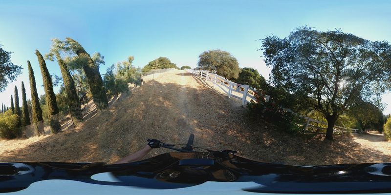
Not every quiet route stays flat, and this Contra Costa County corridor mixes in some genuine rolling terrain.
The multi-use trail passes through parks, open space, and hilly residential areas around Martinez, Pleasant Hill, and Concord.
Variety is the appeal, since the surroundings shift from shaded neighborhood edges to open grassland within a short distance.
Connections to other regional routes, including portions of the Contra Costa Canal Trail, allow riders to build longer outings without street riding for the whole way. Combining the two makes an easy figure-eight or loop possible.
Grades in the hillier sections may require lower gears, so a bike with a comfortable climbing range helps. Descents call for controlled speed, especially where walkers and dogs share the path.
Spring brings green hillsides and wildflowers, while late summer turns the grass golden and the air noticeably warmer. Morning rides are usually more comfortable in hot months.
Because the trail threads through residential zones, signage and junctions deserve attention to avoid accidental detours, and a downloaded map on a phone makes navigation simpler.
9. Tubbs Island Trail, Sonoma County
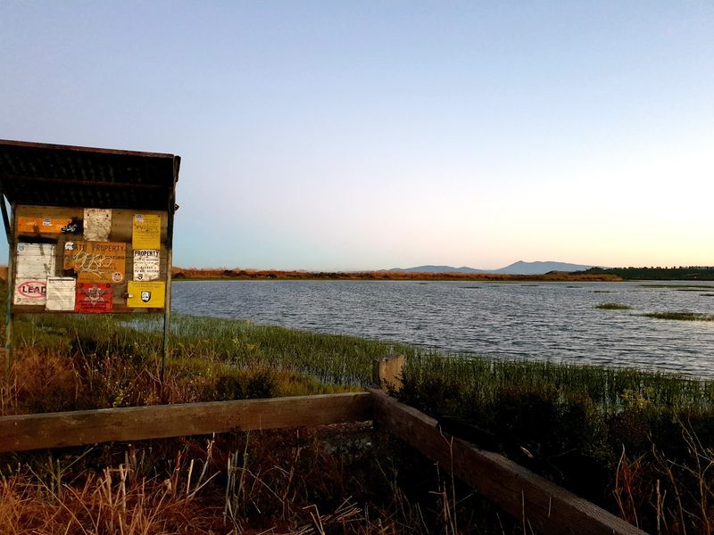
Solitude is the headline attraction out here, where windswept grasses meet the edge of San Pablo Bay.
The trail sits within the San Pablo Bay National Wildlife Refuge, and wildlife sightings can be remarkable, including jackrabbits, hawks, pelicans, ducks, and a long list of shorebirds.
Flat levee riding along marshland keeps the effort low while the views stay wide.
Some portions catch noise from nearby areas, but other stretches deliver genuine quiet that is hard to find so close to a metro region. Birdsong and wind through the grass often become the loudest sounds.
The trailhead is located off Highway 37, and turning in requires attention since the entrance arrives quickly at highway speeds.
Conditions on the levee can be firm or soft depending on recent weather, so wider tires are the safer choice.
Exposure is total, with no shade and steady wind common in the afternoon. Sunscreen, water, and a windproof layer are practical rather than optional.
Refuge rules protect nesting wildlife, so staying on designated routes matters here more than usual.
10. Byxbee Park Trails, Palo Alto
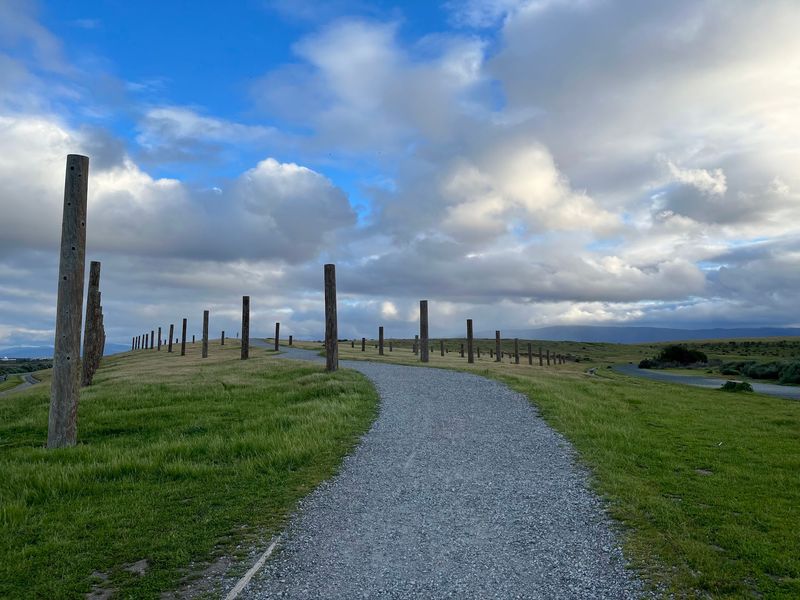
Grass-covered mounds and outdoor art installations give this corner of the Baylands a character all its own.
Byxbee Park is integrated with the Palo Alto Baylands Nature Preserve, and the park sits at 2375 Embarcadero Road in Palo Alto, California.
Trails through the open terrain offer unusually expansive scenery for a location so near Silicon Valley.
Riding here mixes gentle rises with flat marsh-edge stretches, and the slightly elevated ground provides broader views across the wetlands.
Sculptural land art appears along the way, which adds an unexpected layer to an outdoor ride.
Connections to other Baylands paths make loops through wetlands and marshland straightforward. Birdwatching opportunities continue throughout, especially where the trail nears open water.
Surfaces are largely gravel and dirt, so slower speeds and wider tires improve comfort. Some sections may be better enjoyed on foot, and walking a bike briefly is no great loss given the views.
Wind tends to be steady across the open hills, and shade is scarce, making cooler parts of the day the more pleasant choice for most riders.
11. Bay Trail Park Connections Across The Region
More than 130 shoreline parks link together through the broader San Francisco Bay Trail system, which opens up endless ride-planning possibilities.
Designing a quieter outing becomes simple once the focus shifts toward preserves, restored wetlands, and less developed shoreline instead of popular urban waterfronts.
Choosing two or three connected parks as anchors gives a ride natural start, break, and turnaround points.
Birding and wildlife watching improve dramatically along these sections, since protected habitat draws far more activity than paved promenades.
Surfaces and gaps vary widely across the network, so reviewing a current trail map before setting out prevents dead ends.
Some segments remain unfinished, and short street connections may be necessary between completed portions.
Restrooms, water, and picnic tables usually appear at park nodes rather than along the trail itself, which makes park-to-park planning practical as well as scenic.
Weekday mornings, cooler months, and less publicized access points generally deliver the calmest riding, and a flexible route plan leaves room to keep going when a stretch feels especially good.