13 Georgia Trails Perfect For Waterfalls And Mountain Views
I hiked four miles once just because I heard a rumor. A coworker mentioned a waterfall taller than a downtown building, somewhere up a trail she could barely remember.
I found it, and I stood at the base long enough to soak my shirt in the spray. Worth every step.
Georgia keeps handing me moments like that. You round a bend, hear water moving somewhere ahead, and suddenly forget your legs were ever tired.
Some cascades roar down hundreds of feet and drown out every thought. Others slide quietly through dense forest, saved for hikers willing to earn them.
The mountain views between the falls are a reward all their own. I have chased waterfalls across Georgia for years, and these trails deliver the best of both.
Pack water and charge your phone. The overlooks will demand photos.
1. Amicalola Falls Trail, Dawsonville
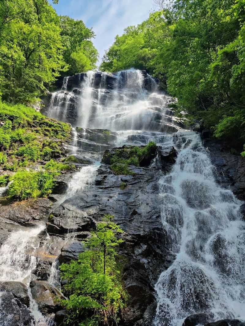
Standing at the base of Amicalola Falls feels like nature is showing off. At 729 feet, it ranks as the third-highest cascading waterfall east of the Mississippi River.
That is not a small claim.
The falls are tiered horsetail falls, meaning water stays in contact with the rock as it drops. The West Ridge Falls Access Trail is only 0.3 miles and fully paved with recycled tires.
It is wheelchair accessible and delivers jaw-dropping views without breaking a sweat.
For a bigger challenge, the Base of the Falls Trail climbs 604 stairs one way. The East Ridge Trail leads directly from the visitor center to the top.
Both are rated moderate to strenuous, so pack water and wear real shoes.
The lodge sits at 2,780 feet on a mountain ridge. Winter and fall reveal long, unobstructed views that summer trees normally hide.
The Appalachian Approach Trail stretches 8.5 miles to Springer Mountain, the official southern start of the Appalachian Trail. Find it at 418 Amicalola Falls State Park Rd, Dawsonville, GA 30534.
2. Anna Ruby Falls Trail, Helen
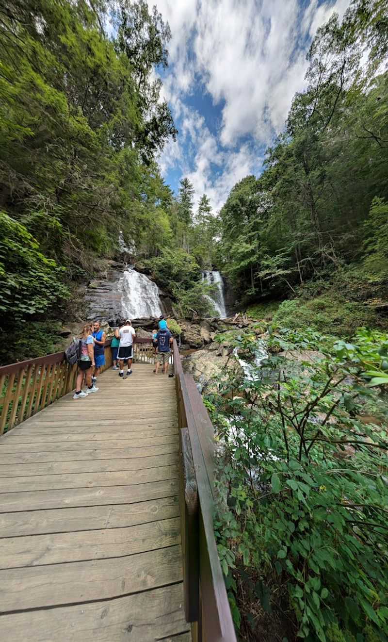
Two waterfalls are always better than one. Anna Ruby Falls delivers exactly that, with Curtis Creek plunging 150 feet and York Creek dropping 50 feet right beside it.
They meet at the bottom to form Smith Creek together.
The trail is a paved, easy 0.8-mile round trip through the Chattahoochee-Oconee National Forest. Two viewing platforms at the base give you different angles of the cascades.
The upper deck gets you close enough to feel the mist.
These falls spill down from a towering cliff below Tray Mountain’s summit. The forest around the trail is dense and cool, even on warm days.
It feels completely separate from the busy tourist town nearby.
The Lion’s Eye Nature Trail is a bonus 0.1-mile loop designed for visually impaired visitors. It features guided handrails and braille signs describing the natural surroundings.
That kind of thoughtful design makes this trail stand out. Head to 3455 Anna Ruby Falls Rd, Helen, GA 30545 to start your visit.
Parking fills up fast on weekends, so arriving early is smart.
3. Hurricane Falls Trail, Tallulah Gorge State Park
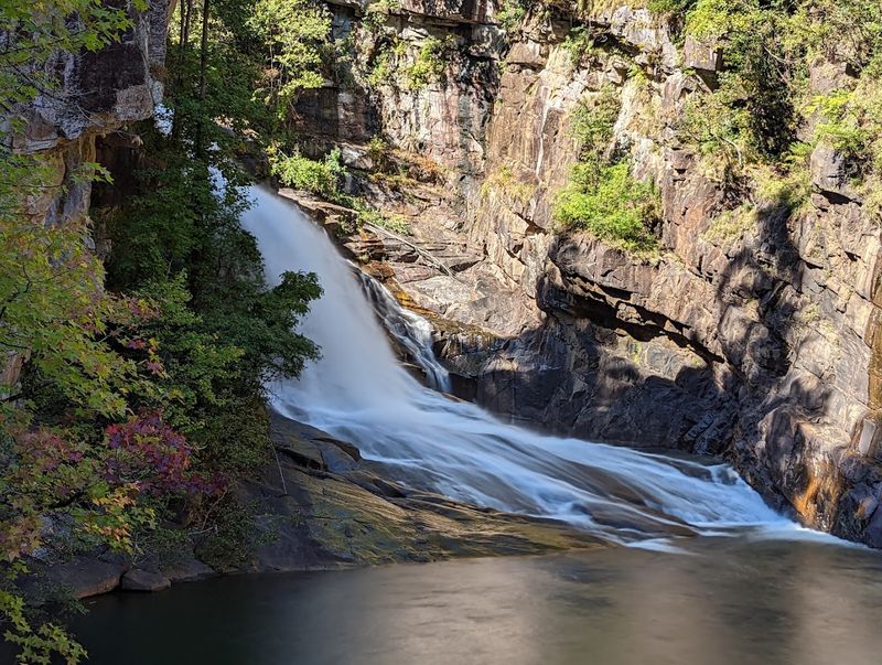
Tallulah Gorge does not ease you in gently. The canyon stretches two miles long and drops nearly 1,000 feet deep.
Hurricane Falls crashes into the boulder-filled gorge floor like it means business.
The trail is roughly two miles round trip and rated difficult. You will descend 1,099 steps total, which is the kind of number that earns a good story at dinner.
A suspension bridge swaying 80 feet above the rocky riverbed is reached about a quarter-mile in, after 300 stairs down.
Ten scenic overlooks line the rim, giving you chances to stare deep into the gorge. Inspiration Point is the park’s highest spot at 1,000 feet.
The views from up there are genuinely dramatic.
Permits are required to access the gorge floor, limited to 100 per day and free to get. They stop issuing them after 4 p.m., so plan accordingly.
Pets are not allowed on this trail. Proper footwear is non-negotiable on those metal stairs.
Find the trailhead at 338 Jane Hurt Yarn Rd, Tallulah Falls, GA 30573.
4. Waterfalls Trail, Cloudland Canyon State Park
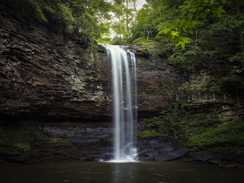
Cloudland Canyon looks like something from a movie set. Sandstone cliffs, deep canyon walls, and two stunning waterfalls all share the same park.
It is one of the most visually dramatic natural destinations in Georgia.
The Waterfalls Trail is part of the Sitton Gulch Trail system. It descends roughly 600 stairs into the canyon, making it a strenuous two-mile round trip.
The payoff at the bottom is absolutely worth the burning legs.
Cherokee Falls drops about 60 feet, and Hemlock Falls cascades around 90 feet. Both are accessible from the canyon floor once you make the descent.
The canyon walls surrounding you make the whole scene feel enormous.
The trail passes through lush forest as you go deeper into the gorge. Looking up at the canyon walls from the bottom is a completely different experience than the rim views.
Both perspectives are spectacular in their own way. The park entrance is at 122 Cloudland Canyon Park Rd, Rising Fawn, GA 30738.
Arrive early on weekends because the parking lot fills up surprisingly fast.
5. Dukes Creek Falls Trail, Helen
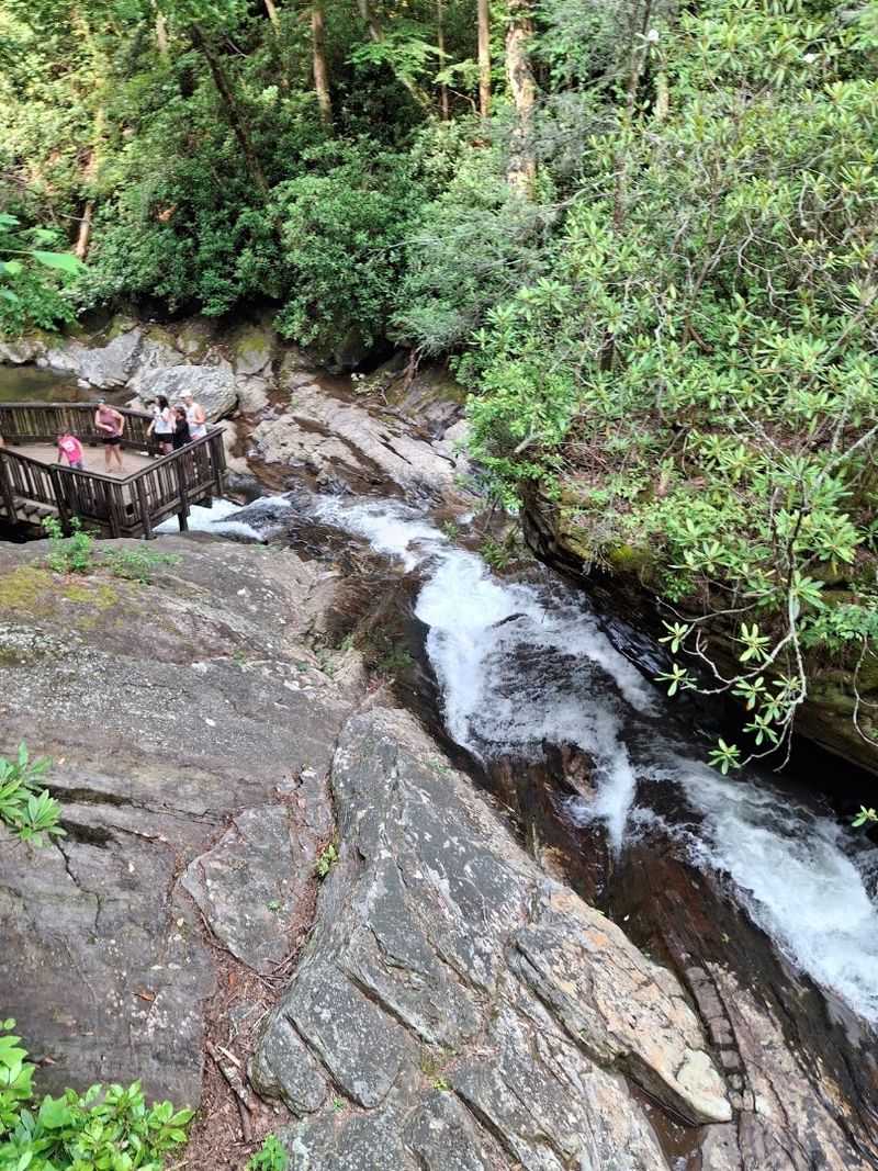
Few trails offer a paved start and a dramatic canyon finish. Dukes Creek Falls Trail gives you both, and the 150-foot waterfall at the end makes the whole thing feel like a reward.
Davis Creek and Dukes Creek converge here to create something genuinely spectacular.
The first section of the trail is paved and ADA-accessible, leading to an upper viewing deck. From there you get a great first look at the falls.
For a closer view, the lower trail descends steeply into the gorge via stairs.
The return climb regains all 340 feet of elevation, so pace yourself on the way down. Several large wooden viewing platforms offer picturesque spots to catch your breath.
The water empties into a crystal-clear mountain trout stream at the base.
The trail sits within the Chattahoochee National Forest, just off the Richard B. Russell Scenic Highway.
This part of the mountains holds one of the densest concentrations of waterfalls in the entire Southeast. A $5 daily parking fee applies.
The trailhead is on Richard B. Russell Scenic Hwy, Helen, GA 30545.
It is a moderate hike at roughly two miles out and back.
6. Raven Cliff Falls Trail, Cleveland
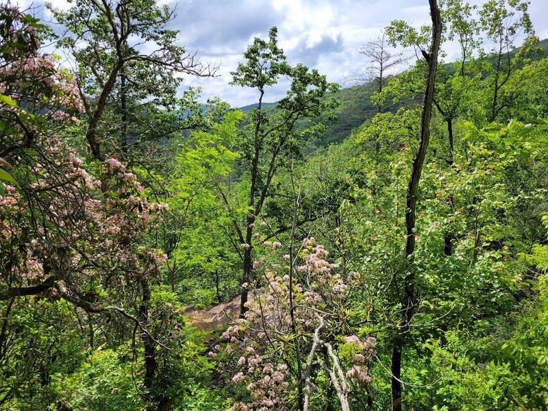
Raven Cliff Falls has one of the most unusual waterfalls you will ever see. The creek splits an enormous granite cliff completely in two, making the water appear to pour straight through solid rock.
It looks like a trick, but it is entirely real.
The trail runs approximately 4.9 miles round trip through the Chattahoochee National Forest. It follows a cascading creek the entire way, passing numerous small waterfalls before the main event.
Even on an off day, this trail is beautiful.
The shaded streamside environment keeps the trail noticeably cooler than open mountain paths. Rhododendrons and hardwoods line much of the route.
The constant sound of rushing water makes the whole hike feel meditative.
Difficulty is generally moderate, though the distance adds up. Hikers who push through are rewarded with one of the most photogenic natural features in the area.
The crack in the granite cliff frames the falling water in a way that photographs never fully capture. The trailhead is at 3000 Richard B.
Russell Scenic Hwy, Cleveland, GA 30528. Pack snacks because nearly five miles goes faster when you are fueled up.
7. Helton Creek Falls Trail, Blairsville
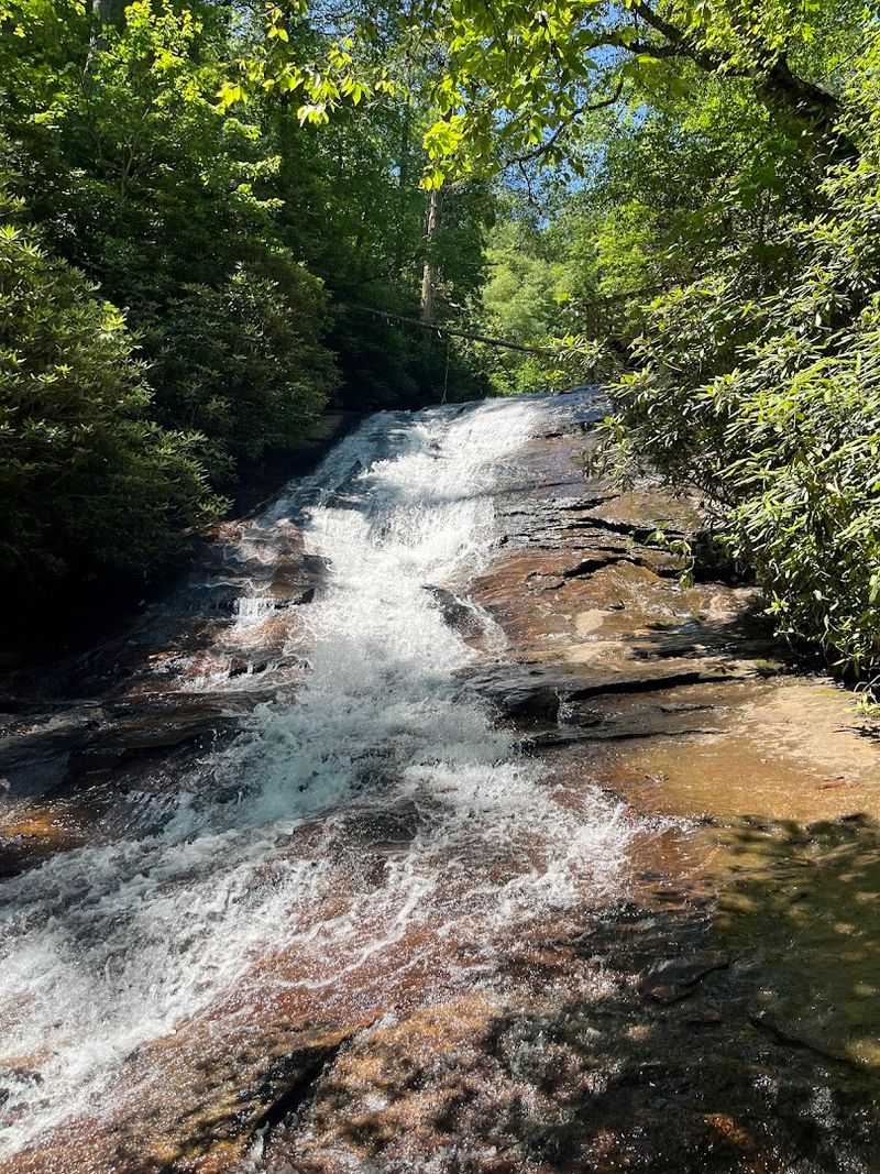
Getting two waterfalls for the price of one short hike is a genuinely good deal. Helton Creek Falls delivers a lower fall that rolls 35 feet down a natural rocky slide and an upper fall that drops a dramatic 80 feet into a calm pool.
Both are worth the walk.
The trail is only about 0.6 miles round trip, making it one of the easiest waterfall hikes around. The path is a rugged dirt trail with some stairs, but nothing that requires serious fitness.
Viewing platforms at each fall give you a safe, clear look at the cascades.
Dogs are welcome on this trail as long as they stay leashed. That makes it a favorite for hikers who bring their four-legged companions along.
The elevation gain is minimal, so even younger kids handle it well.
The falls sit within the Chattahoochee National Forest, offering a genuinely peaceful escape. The upper pool is especially serene, with water so calm it reflects the surrounding trees.
It is a short hike that punches well above its weight in scenery. Find Helton Creek Falls on Helton Creek Rd, Blairsville, GA 30512.
Weekday visits are quieter and more relaxed.
8. DeSoto Falls Trail, Cleveland
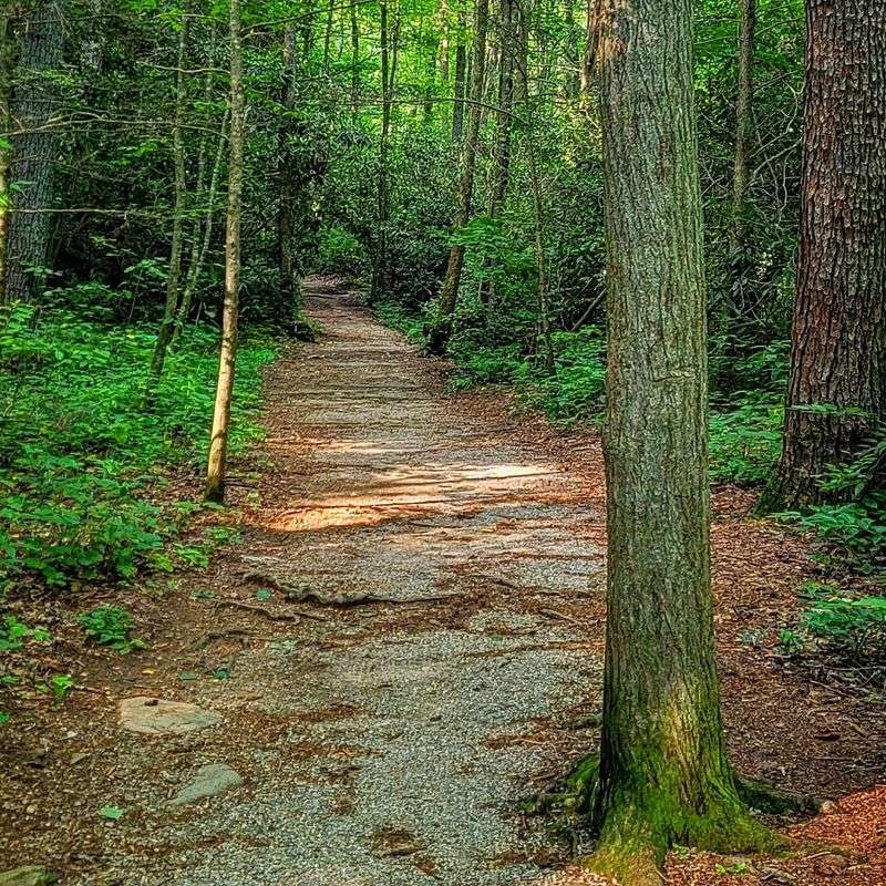
Named after explorer Hernando de Soto, this trail leads to not one but three distinct waterfalls. Each one has its own personality, and the tallest of the trio is genuinely impressive.
Upper DeSoto Falls drops approximately 200 feet, making it one of the tallest in the region.
The trail is roughly 1.6 miles round trip and well-maintained throughout. It follows a picturesque creek the entire way, which keeps the scenery interesting at every step.
The lower falls are very accessible, and the path continues naturally to the middle and upper cascades.
The entire trail sits within the Chestatee Wildlife Management Area, part of the Chattahoochee National Forest. The forest here is dense and quiet, especially on weekday mornings.
Wildlife sightings along the creek are common.
The hike is suitable for most fitness levels, though the path to the upper falls adds a bit more effort. Sturdy footwear helps on the rockier sections near the creek.
The falls offer a peaceful and scenic experience without the crowds of bigger parks. The trailhead is located at 18365 US-129, Cleveland, GA 30528.
It is a straightforward drive from the main highway with clear signage at the entrance.
9. High Shoals Falls Trail, Hiawassee
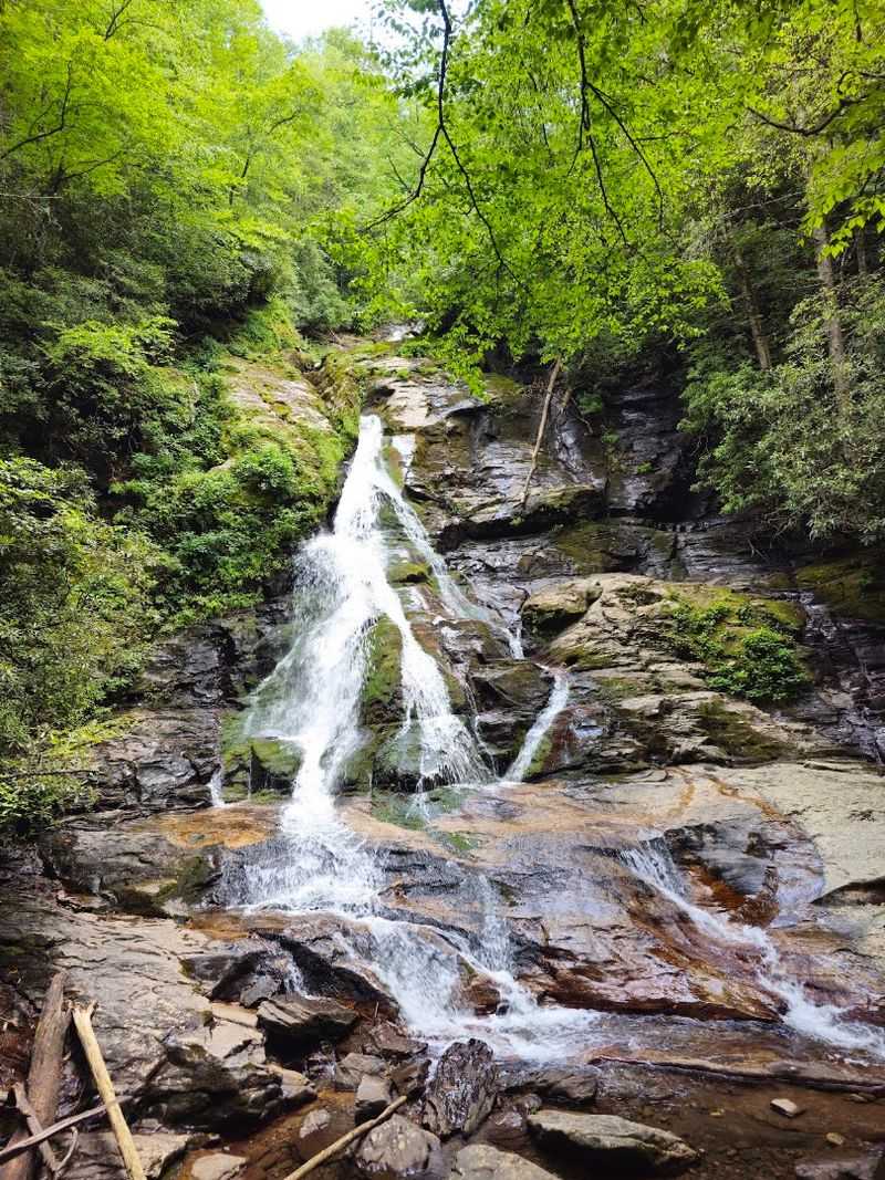
Two scenic waterfalls share this forested trail near Hiawassee. The route reaches Blue Hole Falls first before continuing downhill to High Shoals Falls, a roughly 50-foot cascade that spills into a rocky pool.
The trail is about 2.6 miles round trip and rated moderately difficult. The descent into the gorge is manageable, but the return hike is uphill and earns its moderate label.
Trekking poles help on the climb back out.
The creek sounds follow you the entire way, which makes the hike feel much shorter than it actually is. The water tumbles into clear pools that look almost too picturesque to be real.
Dense forest canopy keeps the gorge shaded and cool.
This trail sits in a quieter corner of the mountains near Hiawassee, which means smaller crowds than some of the more famous waterfall hikes. That alone makes it worth seeking out.
The scenery rewards patient hikers who take their time between falls. The trailhead is on Indian Grave Gap Rd, Hiawassee, GA 30546.
Bring a trail map because cell service in the gorge can be unreliable.
10. Minnehaha Falls Trail, Lakemont
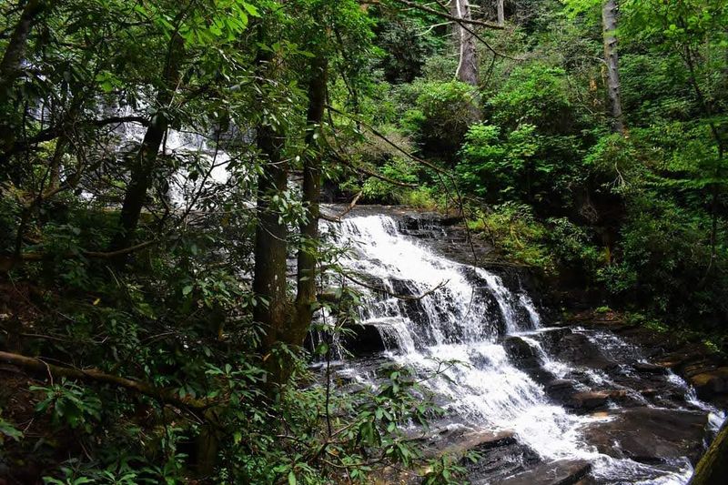
Minnehaha Falls has one of the most distinctive shapes of any waterfall in the area. People describe it as resembling a wedding cake because of its wide, stepped tiers.
Seeing a 100-foot waterfall shaped like a layered dessert is genuinely memorable.
The hike to reach it is remarkably short at only 0.4 miles round trip. The path is relatively flat and well-maintained through shaded forest.
Families with small children handle this one with ease.
The pool at the base is clear and inviting, surrounded by lush vegetation that stays green most of the year. The wide formation of the falls means you get a broad view from the bottom.
It looks impressive from every angle.
The trail sits within the Chattahoochee National Forest near the shores of Lake Rabun, which adds to the overall scenery of the area. The combination of a short hike and a visually unique waterfall makes this one of the most satisfying quick stops on any mountain road trip.
It rewards minimal effort with maximum payoff. Find the trailhead on Bear Gap Rd, Lakemont, GA 30552.
Parking is limited, so arriving before 10 a.m. on weekends is a smart move.
11. Angel Falls Trail, Rabun Beach, Lakemont
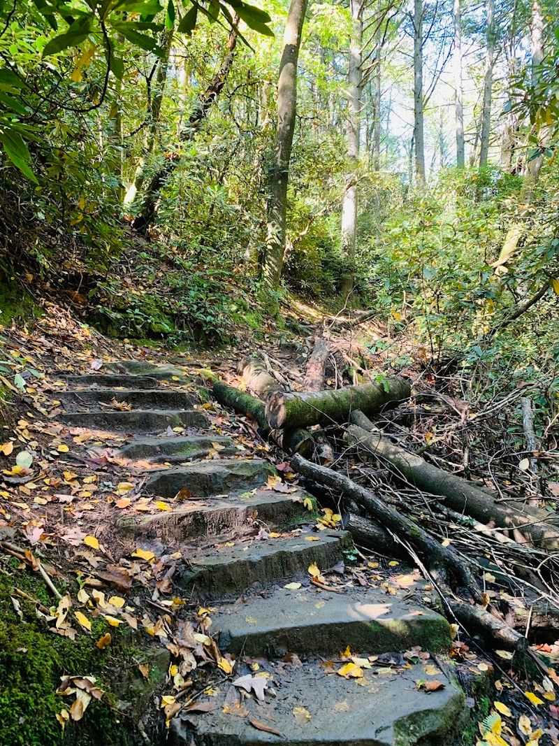
Getting two waterfalls on a single moderate hike near a beautiful lake is a combination that is hard to beat. The Angel Falls Trail near Lake Rabun delivers Panther Falls first, then Angel Falls further up the path.
Both are worth every step of the 1.7-mile round trip.
The trail winds through scenic forest following a creek the entire way. Rhododendron thickets line portions of the path, creating a tunnel-like atmosphere that feels wild and lush.
The sounds of rushing water are constant companions.
Panther Falls appears first, a beautiful cascade that serves as a great preview. Angel Falls then tumbles down a rock face further along, creating a serene and photogenic scene.
The contrast between the two falls keeps the hike interesting throughout.
The trail is part of the Rabun Beach Recreation Area, which offers a full outdoor experience beyond just the hike. Lake Rabun nearby provides swimming and picnic options for after the trail.
It is a well-rounded outdoor day in a genuinely beautiful part of the mountains. The trailhead is at 5315 Lake Rabun Rd, Lakemont, GA 30552.
Moderate fitness is all you need to enjoy this one comfortably.
12. Hemlock Falls Trail, Moccasin Creek, Clarkesville
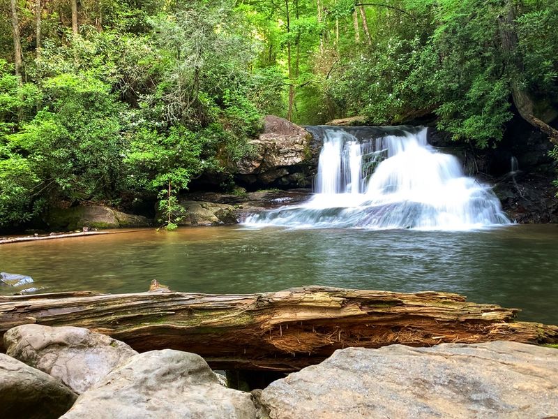
Moccasin Creek is one of those trails that keeps surprising you the longer you stay on it. Hemlock Falls is the headline act, a 15-foot cascade spilling gracefully over a broad rocky cliff into a calm pool.
But the creek itself is dotted with smaller cascades the entire way.
The trail is approximately two miles round trip to Hemlock Falls and back. The path follows Moccasin Creek closely, so the sound of water never leaves you.
A charming wooden bridge and stone stairs add character to the route.
For hikers who want more, an Upper Moccasin Creek Falls sits above Hemlock Falls and drops around 40 feet. That section gets more rugged with uneven terrain and additional creek crossings.
It is worth the extra effort for those up for the challenge.
The surrounding forest is a shaded corridor of hardwood trees and rhododendron thickets. The whole environment feels cool and quiet, even on warm afternoons.
Near Moccasin Creek State Park, the setting is peaceful and genuinely beautiful. The trailhead is at 59 Andersonville Ln, Clarkesville, GA 30523.
Waterproof shoes are a smart choice if you plan to venture past Hemlock Falls to the upper cascade.
13. Fall Branch Falls Trail, Cherry Log
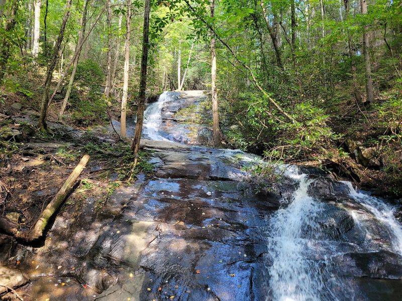
A double waterfall at the end of a short forest hike is a pretty satisfying way to spend a morning. Fall Branch Falls cascades over ancient metamorphic rock formations, creating multi-tiered drops that look like they belong in a nature documentary.
The falls flow year-round, so there is no bad season to visit.
The trail is easy to moderate, spanning about 0.8 miles one way through the Blue Ridge Mountains. The path is well-maintained and clearly marked, with some rocky sections and a couple of creek crossings on sturdy wooden bridges.
It culminates in a short downhill section leading to a wooden observation deck.
From the deck, the view of the multi-tiered waterfall is genuinely excellent. The natural pool at the base is calm and surrounded by dense forest canopy.
Dogs are welcome as long as they are on a leash.
For hikers who want a bigger adventure, the trail connects to the Benton MacKaye Trail, which extends an additional 6.2 miles one way with potential views from Rocky Mountain. That option turns a short waterfall visit into a full backcountry day.
The trailhead is on Rock Creek Rd, Cherry Log, GA 30522. Expect a gravel road approach, so drive carefully on the way in.