10 North Carolina Scenic Drives Where Locals Avoid Driving After Dark
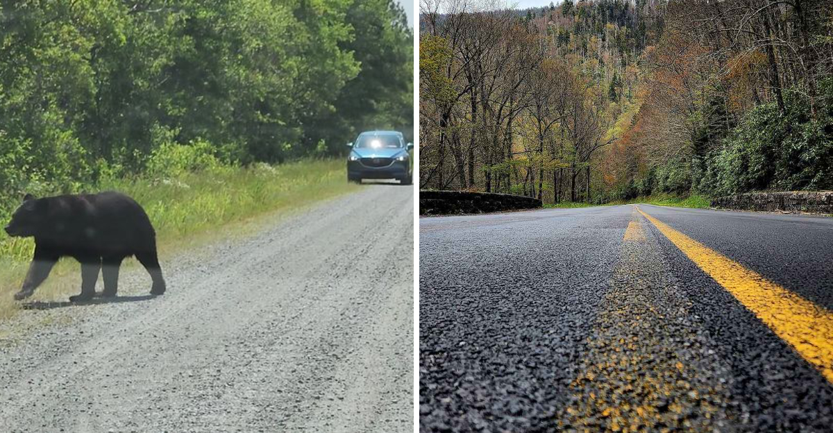
North Carolina scenic drives can be gorgeous right up until the sun clocks out and the road suddenly develops a personality.
In daylight, those mountain curves feel adventurous. After dark, the same bend can have you leaning toward the windshield like that somehow improves your night vision.
Add fog, wandering deer, and roads that twist with very little warning, and the relaxed sightseeing mood can disappear fast.
That does not make these routes bad choices. It just makes daylight the smarter one.
You can actually see the overlooks, catch the scenery you came for, and enjoy the drive without treating every shadow like it is planning something.
These ten North Carolina roads are at their best while the sun is still doing its job.
Save the dramatic nighttime driving for people in car commercials. You have views to enjoy.
10. Blue Ridge Parkway, Western North Carolina
Four hundred sixty-nine miles of pavement built purely for the pleasure of looking around: that is the promise of America’s Favorite Drive. Waterrock Knob sits at 6,292 feet, where the Great Smokies pile up on the horizon like waves frozen mid-roll.
Craggy Gardens bursts with rhododendron blooms in late spring and early summer, painting the balds pink and purple. The Linn Cove Viaduct curls around Grandfather Mountain on slender concrete legs, giving drivers the sensation of gliding above the treetops.
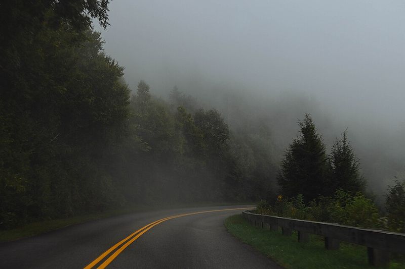
Nighttime rewrites all of it. The National Park Service warns about sharp curves, short sight distances, shifting speed limits, and wildlife that appears without warning.
Fog can swallow the higher elevations in minutes, turning overlooks into gray walls.
Winter adds another layer, since the Parkway is never plowed or salted. Snow and ice can keep sections closed long after nearby towns have cleared.
Plan your last overlook stop with an hour of daylight to spare, and let sunset be the finale rather than the middle of your drive.
9. Cherohala Skyway, Robbinsville
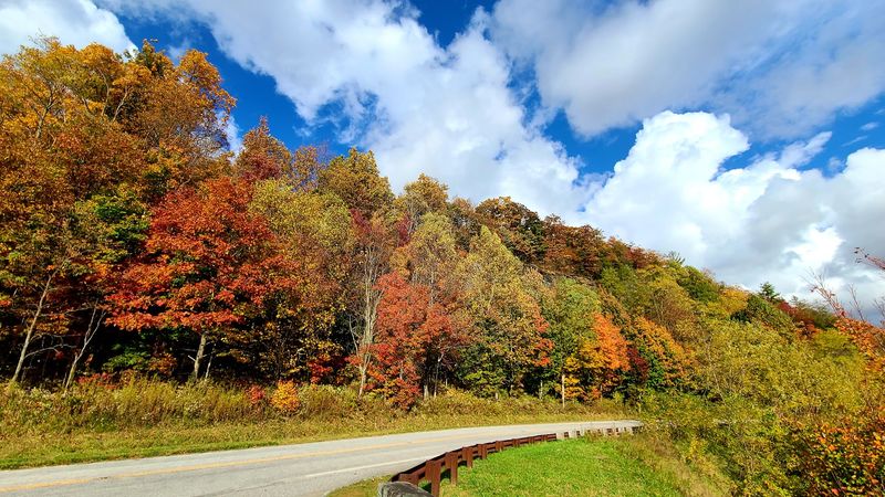
Forty-three miles of ridge-riding pavement connect Robbinsville with Tellico Plains, Tennessee, crossing the Cherokee and Nantahala National Forests along the way. The road spends much of its length near or above 4,000 feet, which means the views arrive constantly rather than occasionally.
Santeetlah Overlook climbs close to 5,400 feet, and the layered mountains from that vantage rival anything on the Parkway. Hikers who pull off for the Huckleberry Knob trail earn a grassy summit with 360-degree views and flowering shrubs brushing the path.
Here is the detail that surprises first-timers: there are essentially no gas stations or restrooms across the entire route. Fill up in town, pack water and snacks, and treat this as a self-contained adventure.
Isolation is part of the charm in daylight and part of the problem after dark. Cell service is spotty, curves come in quick succession, and winter ice can shut down high sections with little notice.
Morning departures give you sunlight, cooler air, and plenty of time for overlook photos.
8. Newfound Gap Road, Cherokee To Great Smoky Mountains National Park
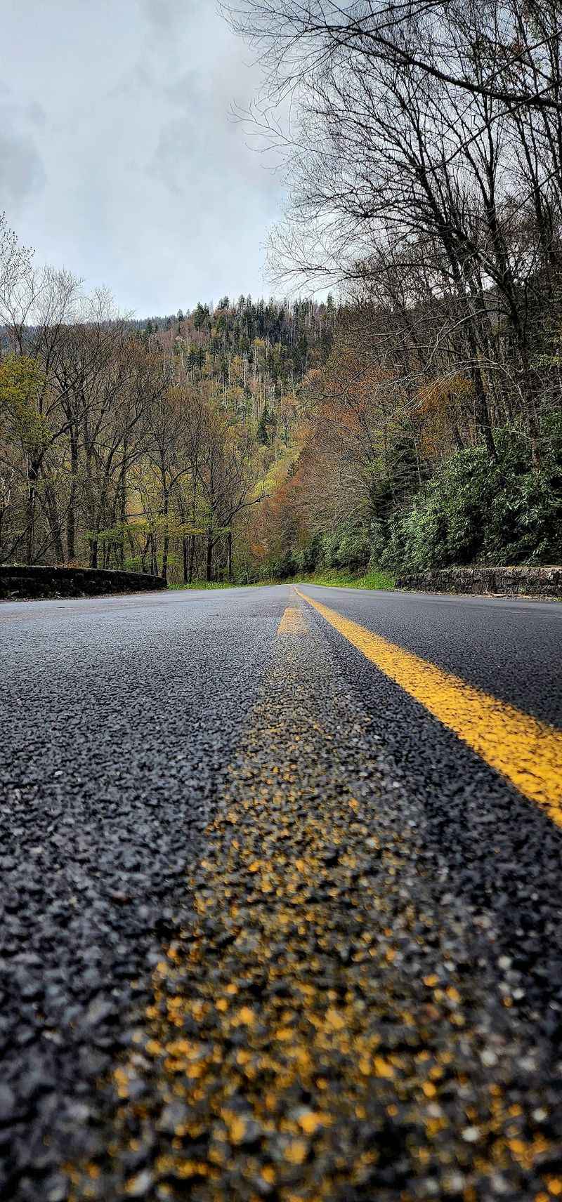
Ecologists like to say driving this road is the botanical equivalent of traveling from Georgia to Maine. Officially US Highway 441, it climbs roughly 3,000 feet across about 31 to 33 miles, linking Cherokee in North Carolina with Gatlinburg, Tennessee.
It is the only fully paved route straight through the heart of Great Smoky Mountains National Park. Forest types change as you gain elevation, and the air grows noticeably cooler and damper near the top.
Worthwhile stops include Mingus Mill, where water-powered machinery once ground corn, and the quiet clapboard simplicity of Smokemont Church. At Newfound Gap itself, a large parking area straddles the state line and puts hikers within steps of the Appalachian Trail.
The same features that make the drive memorable make it demanding at night. Steep grades, tight bends, sudden temperature drops, and heavy mountain rain arrive without much warning.
Bears, coyotes, foxes, and deer become far more active after sunset, so finishing before dusk is the smart move. Give yourself extra time for overlook stops.
7. NC Highway 80, Near Marion And The Blue Ridge Parkway
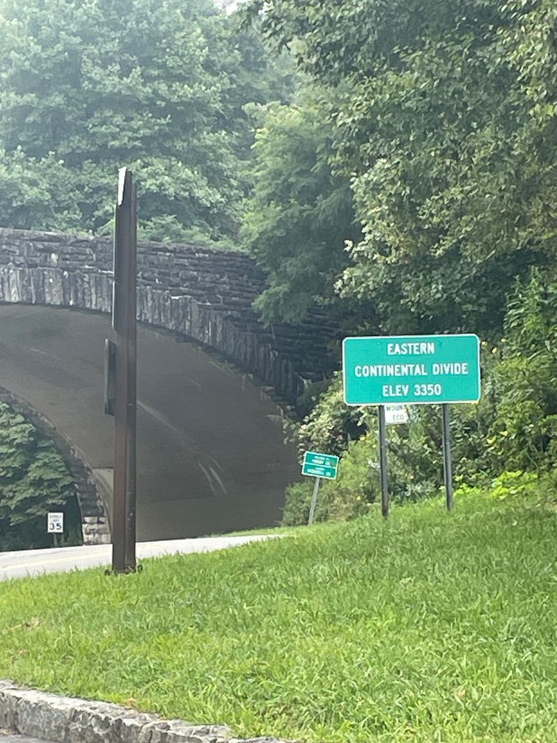
Nicknames stick for a reason, and the Devil’s Whip earned its title honestly. The road cracks back and forth across the mountainside near Marion, gaining and losing elevation at a pace that keeps both hands busy on the wheel.
Switchbacks come tight enough that you occasionally see the pavement you just traveled below you through the trees. Motorcyclists and sports car drivers treasure it, and the route connects conveniently with the Blue Ridge Parkway for a longer loop.
Scenery leans green and enclosed rather than wide open. Hardwood forest presses in on both sides, with brief windows where the ridges beyond suddenly reveal themselves.
Add darkness to those blind corners and the equation changes quickly. Headlights sweep across rock faces instead of the road ahead, and gravel washed onto the pavement becomes far harder to spot.
Locals treat this as a daylight-only pleasure and pair it with a bite in Marion afterward. Take it slowly, use the pull-offs, and let faster traffic pass rather than rushing the curves.
6. NC Highway 181, Morganton To Jonas Ridge
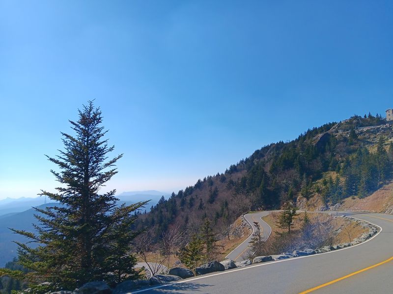
Between Morganton and the cooler heights of Jonas Ridge, this highway climbs steadily through Pisgah National Forest with a rhythm that feels almost musical.
The 13-mile stretch rising from Brown Mountain Beach Road blends long sweeping arcs with a handful of tighter, more demanding turns.
Wide paved shoulders set it apart from many mountain routes, which explains the steady stream of cyclists and motorcycle riders. Undeveloped woodlands line most of the climb, broken by rock outcrops and streams.
Brown Mountain Overlook draws a different kind of crowd. Mysterious lights have been reported flickering above the ridge for generations, and curious visitors still gather at the railing hoping to spot them.
That evening tradition is exactly why caution matters. Once natural light fades, the long grades and twisting midsection become far less forgiving, and parked cars near the overlook add another thing to watch for.
Drive the climb during the day, then decide whether the legend is worth a careful return trip. Cooler mountain air makes the upper stretch a welcome escape in summer.
5. US Highway 276, Brevard To The Blue Ridge Parkway
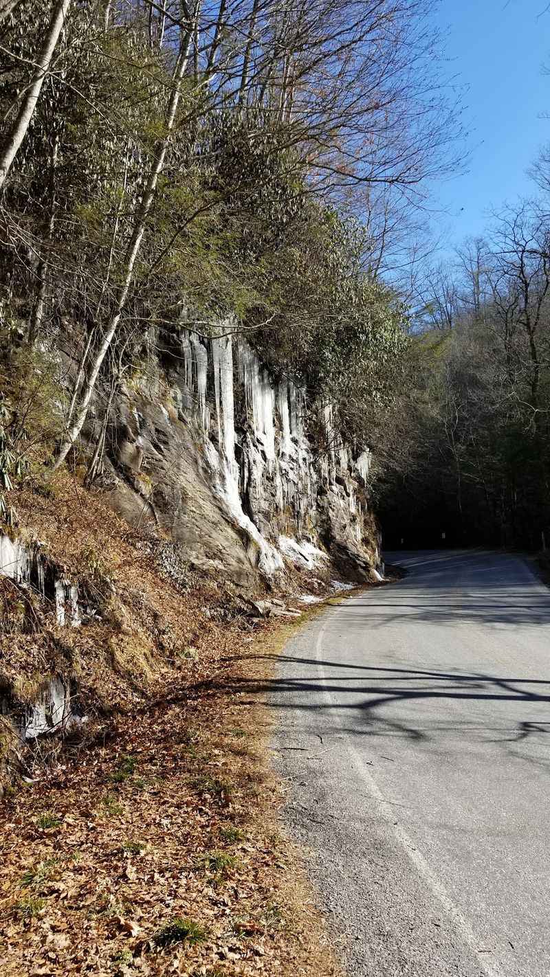
Waterfalls do most of the talking on this route. Running from Brevard up to the Blue Ridge Parkway, the highway threads through Pisgah National Forest past cascades, trailheads, and picnic spots where the sound of moving water follows you from turnout to turnout.
Mist drifts across the pavement in places, and the smell of wet stone and hemlock hangs in the cool air. Recreation areas along the way make it easy to turn a one-hour drive into a full day.
The forest canopy that keeps the road so pleasant in summer heat also creates the main after-dark issue. Under all that leaf cover, dusk arrives early and deeply, and the curves become hard to read.
Wet leaves and damp pavement near the falls stay slick long after rain stops. Wildlife crosses freely in the quiet evening hours.
Start early, work your way uphill with plenty of stops, and reach the Parkway while the light is still generous. Sturdy shoes help at the waterfall overlooks.
4. NC Highway 12, Outer Banks
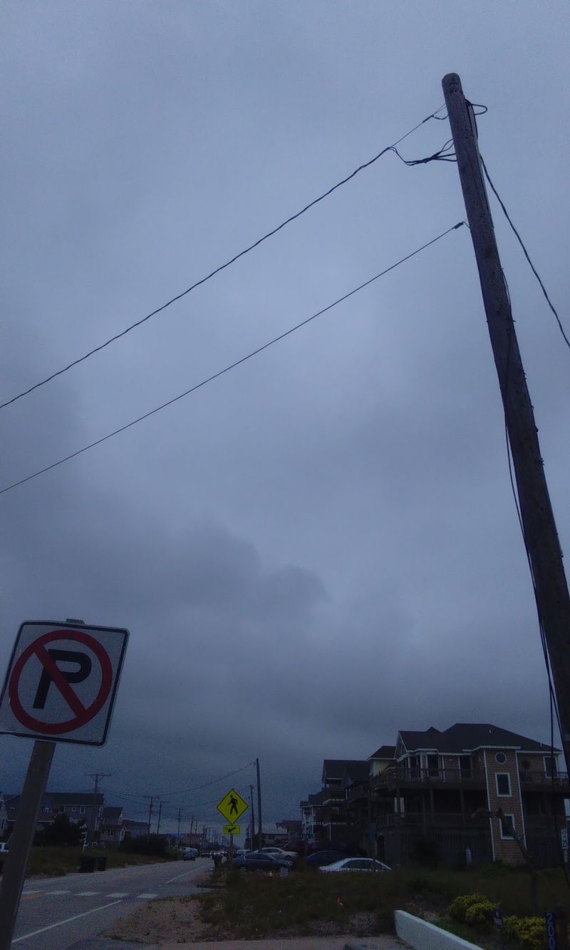
Sand blows across the pavement here, and that tells you everything about the setting. Running the length of the Outer Banks, which stretch roughly 130 miles, this barrier-island highway keeps water in view on one side or the other for much of its journey.
Dunes and wild grasses flank the asphalt, with the Atlantic on the east and the wide calm of Pamlico Sound to the west. Fishing villages, historic lighthouses, Cape Hatteras National Seashore, and the bird-rich marshes of Pea Island National Wildlife Refuge all sit along the way.
Roll the windows down and you get salt air, gull calls, and the low rumble of surf. Ferry connections add a memorable link between island sections.
Long stretches run far from any commercial area, with no streetlights and few landmarks. Blowing sand, standing water, and thick coastal fog can erase the road edges after dark.
Timing your drive for late afternoon means glowing dunes, easier navigation, and a comfortable arrival before nightfall.
3. Lakeview Drive, Bryson City
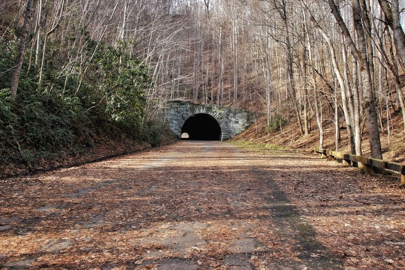
A road that simply stops has a way of capturing the imagination. Six miles from Bryson City, Lakeview Drive pushes into Great Smoky Mountains National Park and ends abruptly at the mouth of a tunnel that was never finished, which is how it earned the nickname the Road to Nowhere.
Along the climb, gaps in the trees reveal the still surface of Fontana Lake far below. Pull-offs invite a pause, and the quiet is remarkable.
Trailheads make the drive more than a photo stop. Noland Creek Trail draws hikers and trout anglers, while walking through the quarter-mile tunnel, flashlight in hand, opens onto the Goldmine Loop and Lakeshore Trail.
Those paths pass reminders of families who once farmed these coves, including old homestead traces and wild boar traps.
Because the tunnel has no lighting and the road ends in deep forest, this is a place to finish well before dusk. Bring a working flashlight and check trail conditions before setting out.
2. NC Highway 209, Hot Springs To Lake Junaluska
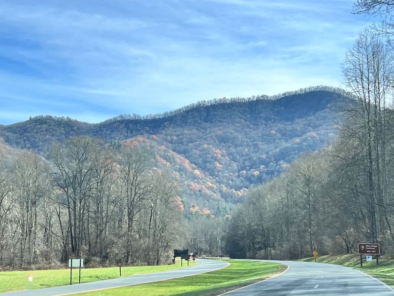
Riders call it the Rattler, and the name fits a road that coils through the hills between Hot Springs and Lake Junaluska without ever straightening out for long. Curve counts here are famously high, and the pavement rises and drops through farmland, creek bottoms, and shaded hollows.
Old barns lean into pastures, cattle graze close to fence lines, and small churches appear at bends in the road. Long gaps separate the communities, which gives the route its rural, unhurried feel.
Hot Springs sits along the Appalachian Trail, so hikers with backpacks are a common sight at the northern end. Lake Junaluska anchors the southern side with calm water and walking paths.
Once light fades, the constant turns and narrow lanes stop being fun. Farm equipment, deer, and wandering dogs are all part of country roads at night.
Take it midmorning or early afternoon, stop for a country breakfast plate in Hot Springs, and let the curves unspool at an easy pace.
1. US Highway 64 Through Alligator River Country, Eastern North Carolina
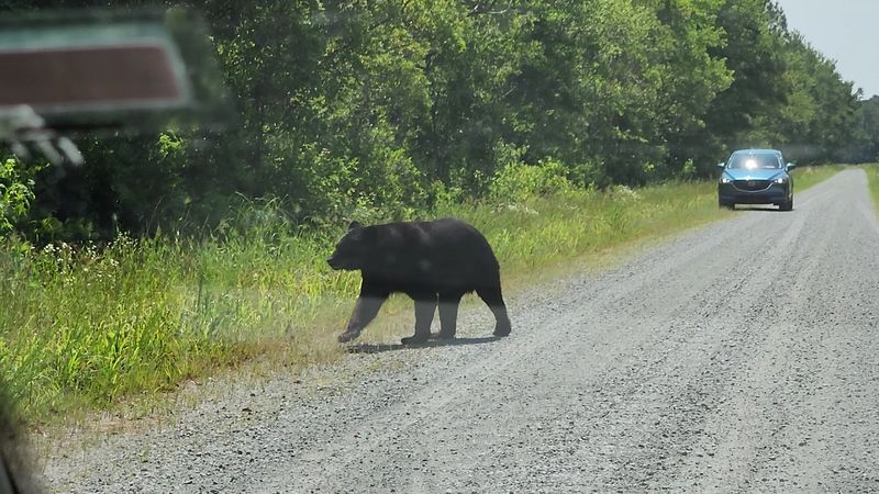
Few highways in the eastern part of the state feel this genuinely wild. Crossing the low, watery country beside Alligator River National Wildlife Refuge, US Highway 64 runs past 152,000 acres of pocosin, marsh, and canal-lined woods.
The refuge shelters one of the region’s strongest black bear populations, along with river otters, alligators, wading birds, and the rare red wolf. Daytime travelers often spot animals near the shoulders or feeding in the ditches.
Wide skies dominate the view, with reeds bending in the wind and hawks perched on utility lines. Observation platforms and gravel wildlife drives let you stretch your legs and scan the water.
Yellow caution signs along the highway are not decoration. Bears and deer cross frequently after sunset, and their dark coats blend into unlit surroundings until they are very close.
Slow down, watch the ditch lines, and plan wildlife viewing for the golden hours before dusk. Binoculars turn an ordinary drive through this corner of North Carolina into a memorable outing.
Disclaimer: The roads featured in this article are scenic public routes, and the suggestion to drive them during daylight is intended as practical travel guidance rather than a claim that they are unsafe or prohibited after dark.
Conditions can vary considerably depending on the season, weather, construction, traffic, wildlife activity, and individual sections of each route.
Mountain roads may be affected by fog, ice, fallen debris, limited visibility, or temporary closures, while coastal highways can experience flooding, standing water, blowing sand, and storm-related disruptions.
Wildlife can also appear near or on the roadway at any hour, with visibility generally becoming more limited after sunset.
Before starting any of these drives, check current conditions with the appropriate transportation agency, park service, refuge, or local authority.
Follow all posted signs, speed limits, closures, and warnings, and choose a route and travel time that suit your vehicle, experience level, weather conditions, and personal comfort behind the wheel.