This California Rail Trail Takes Fall Cyclists Across A 100-Foot-High Historic Trestle
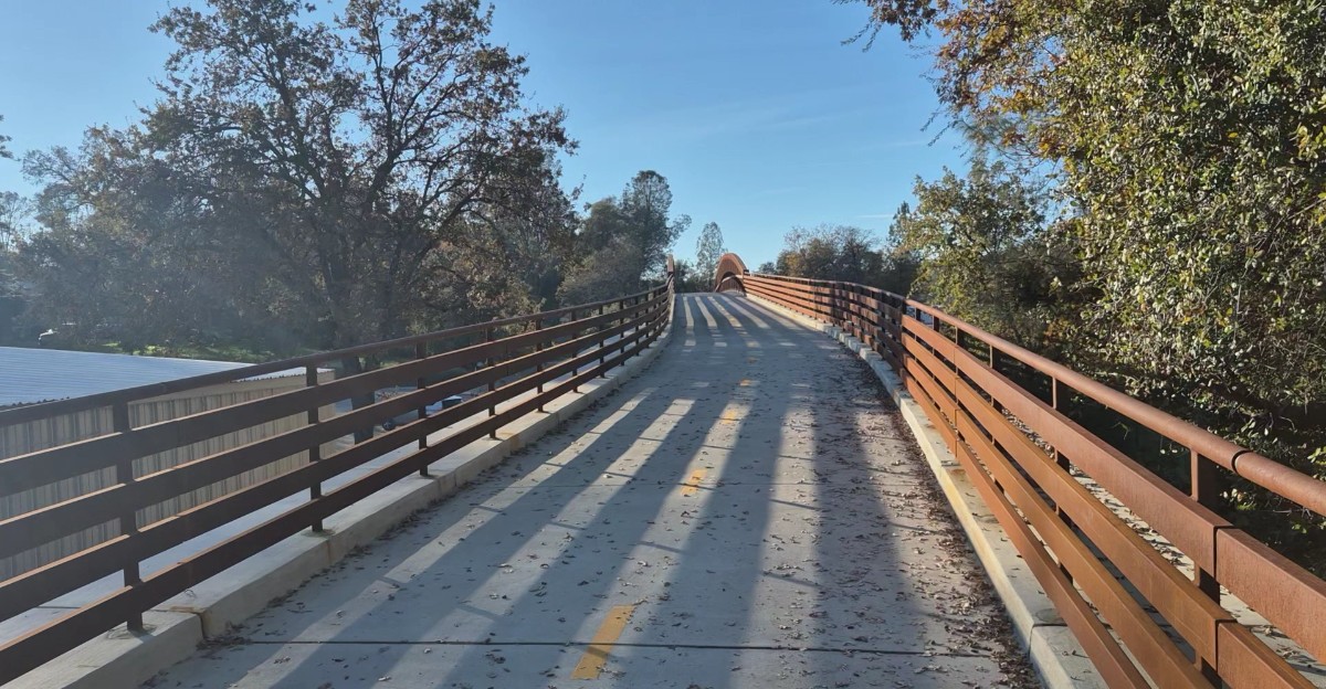
Some bike rides are all about getting a little exercise. Others give you a reason to stop pedaling, look around, and wonder how you ended up somewhere so impressive.
One historic rail trail offers exactly that kind of surprise, especially when autumn brings cooler temperatures and a welcome change of scenery.
The route follows a piece of railroad history, giving cyclists something more interesting to explore than an ordinary paved path.
And there is one particular stretch that might make even experienced riders slow down for a closer look.
Fall cycling in California gets a little more exciting when an old railroad route comes with a spectacular surprise.
You do not need to be a railroad enthusiast to appreciate the unusual setting. The combination of outdoor recreation and seasonal scenery makes the experience appealing for a relaxed adventure.
The Weber Creek Trestle Is The Main Attraction
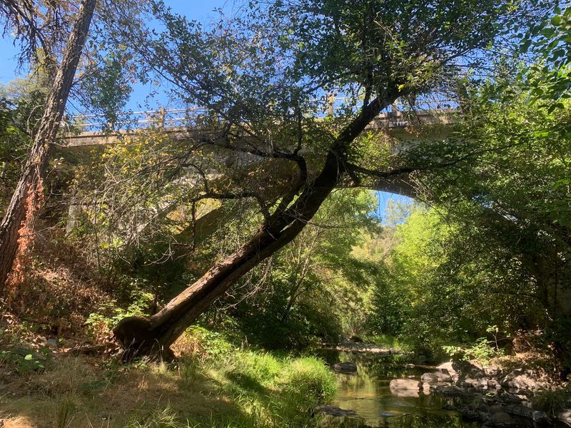
Plenty of trails have nice views, but very few let riders roll across a piece of railroad history suspended over a canyon.
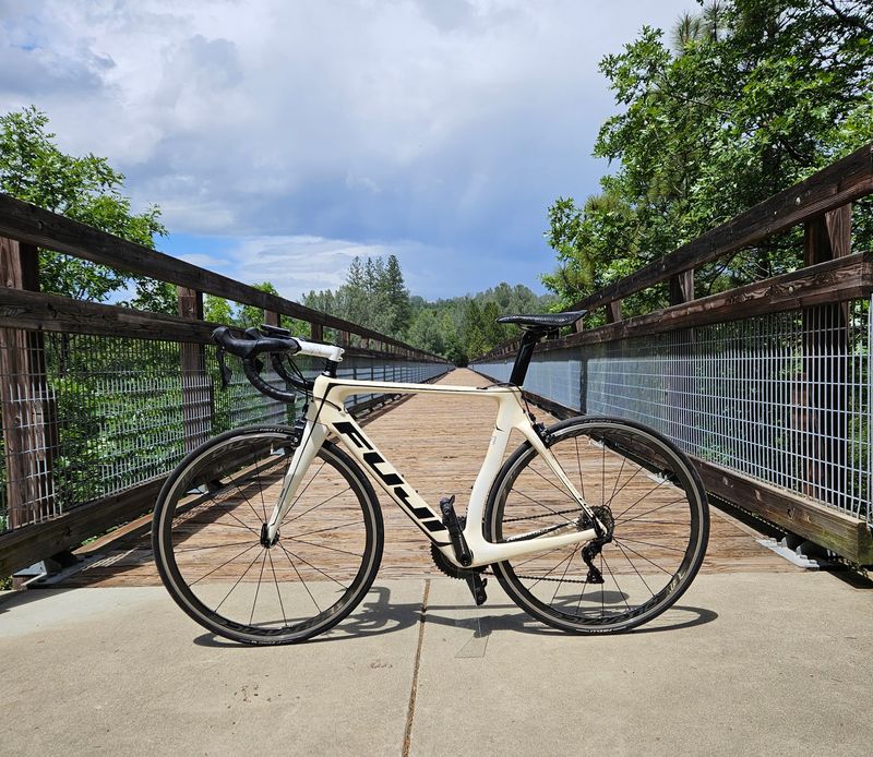
The Weber Creek Trestle is the moment most visitors remember long after the ride ends. The bridge dates back to 1903 and once carried trains over the creek below.
Today it serves cyclists, walkers, and runners who share the El Dorado Trail.
Crossing it can feel a little surprising the first time. The ground drops away on both sides, and the view opens up across the foothills in a way that the wooded sections of trail do not allow.
Good manners help everyone enjoy the crossing. Keeping to one side leaves space for others, and stopping only where there is room avoids blocking the path.
Photos are a big part of the experience for many visitors. Morning and late afternoon light often feels softer on the wood and metal, while midday sun can be bright and flat.
Even riders who are not history fans usually find the trestle impressive. It gives the whole trail a clear goal, and reaching it can feel like a small reward.
The Historic Bridge Rises Roughly 100 Feet Above Weber Creek Canyon
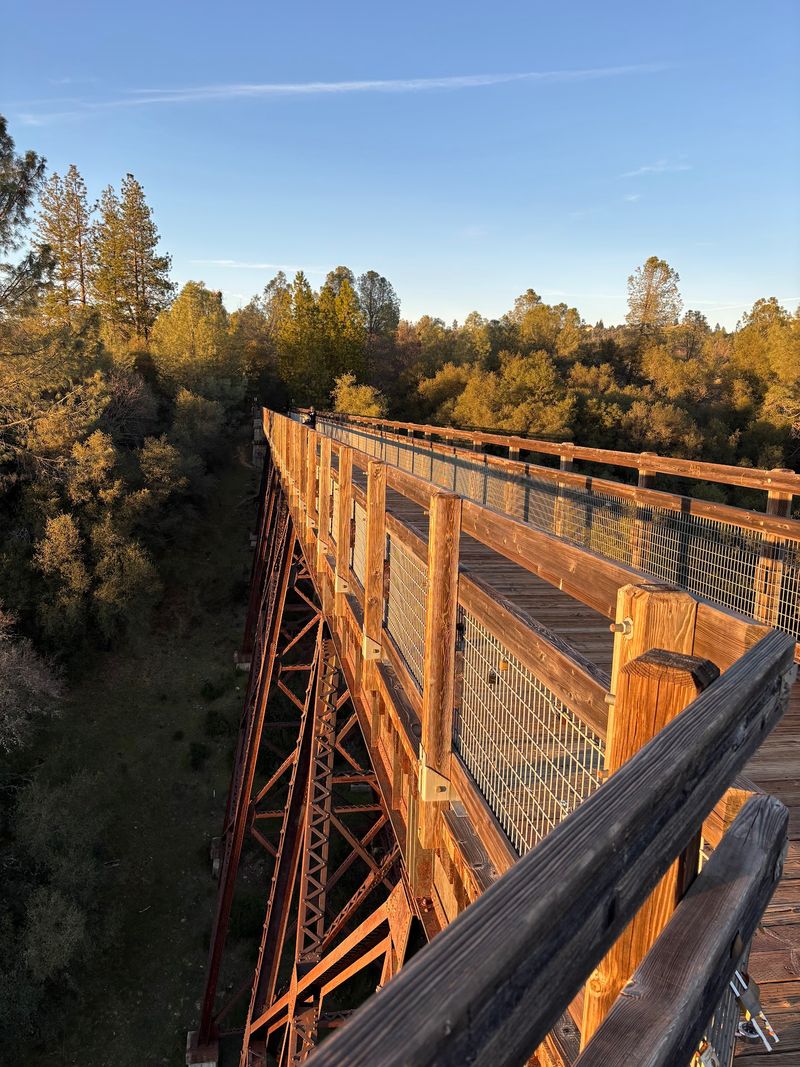
A hundred feet is about the height of a ten-story building, and that is roughly how far the trestle sits above Weber Creek.
Most sources describe the bridge as standing around 100 feet high. At least one source lists the height as 120 feet, so the exact number can vary depending on where it is measured.
Height can affect people in different ways. Some riders feel excited, while others feel a bit uneasy looking down.
Both reactions are normal, and walking a bike across is always an option for anyone who wants extra steadiness.
Wind is another thing to keep in mind. Open spaces like a canyon crossing can feel breezier than the sheltered trail nearby.
Holding the handlebars with a relaxed but firm grip may help on gusty days.
Loose items should be tucked away before crossing. Sunglasses, water bottles, and snacks can slip from pockets, and anything dropped over the side would be hard to get back.
Cyclists Follow A Route That Once Carried Trains Through The Sierra Foothills
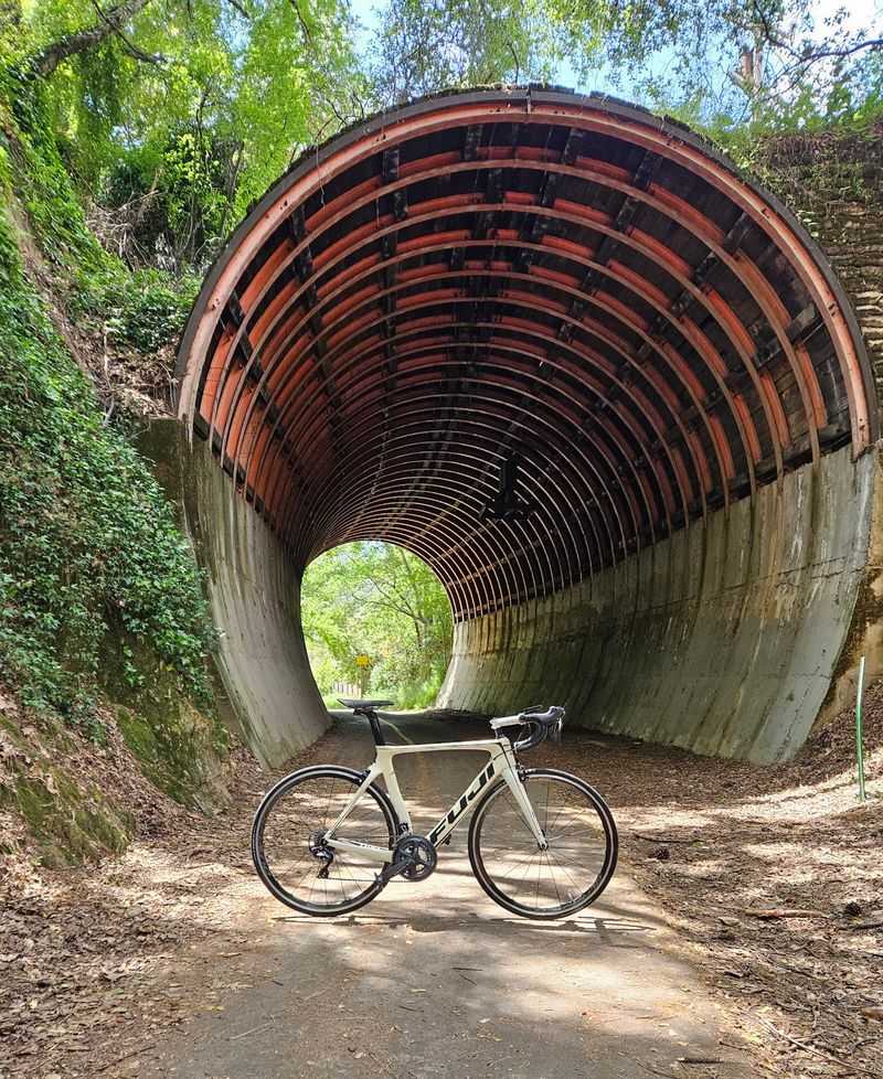
Long before bike tires hummed along this path, train wheels clanked over the same ground.
The El Dorado Trail follows the old routes of the Southern Pacific Railroad and the Michigan-California Railroad.
Those lines once hauled lumber from mills in areas such as Camino down toward Sacramento. The corridor winds through historic Gold Rush country in the Sierra Nevada foothills.
Railroads usually needed gentle grades because heavy trains could not climb steep hills easily. That history often makes former rail lines feel smoother and steadier than typical mountain roads.
Curves on old rail routes tend to be wide and sweeping. That shape can make the ride feel calm, with long views ahead instead of sudden sharp turns.
Paying attention to the landscape adds to the fun. Cuts through hillsides and raised sections of ground may hint at where workers once shaped the land for trains.
Comfortable gearing on a bike can help on the longer gradual stretches. A lower gear may save energy for the return trip, which matters if the ride back runs uphill.
Fall Brings Cooler Weather For A More Comfortable Bike Ride
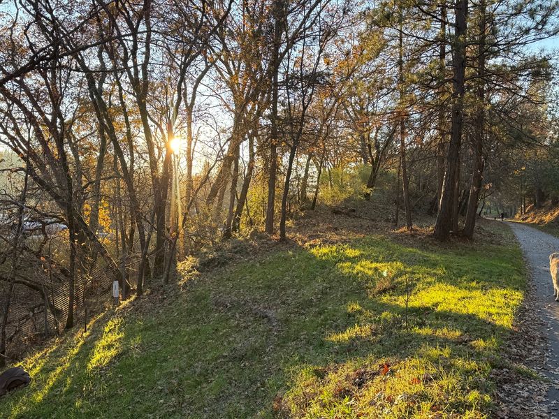
Summer heat in the foothills can make an afternoon ride feel more like a chore than a treat.
Autumn often changes that. Cooler temperatures may make long stretches of pedaling feel easier on the body.
Many riders find they can go farther without feeling worn out by the sun.
Mornings in fall can start out chilly, though. Layers work well because the air may warm up quickly as the day goes on.
A light jacket that folds into a small bag is easy to carry once it is no longer needed.
Shorter days are a real factor during this season. Sunset arrives earlier, and shaded sections of trail may get dim before the sky is fully dark
Water still matters even when the air feels cool. Thirst can sneak up during exercise, and dry fall air may add to that. A full bottle and a small snack can keep energy steady.
Weather in the foothills can vary from day to day. Early fall rains sometimes leave dirt sections muddy, so checking the forecast before leaving is smart.
The Trestle Offers An Impressive View Of The Canyon Below
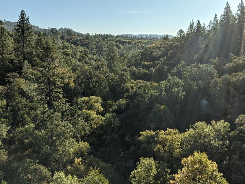
Stand near the middle of the bridge, look out, and the whole canyon seems to unfold at once.
Views from the Weber Creek Trestle stretch across the foothill countryside. The creek winds far below, and the slopes around it rise in layers of trees and grass.
Taking a moment to stop here often feels worth it. The best way to do that is to pull fully to the side so others can pass.
Walkers and riders can then share the space without anyone feeling crowded.
Light changes the scene throughout the day. Early morning may bring soft shadows in the canyon, while late afternoon can warm the hillsides.
Binoculars can be a fun addition for curious visitors. Birds sometimes move through the canyon, and small details along the creek are easier to spot with a closer look.
Leaning on railings or reaching over the side is never a good idea. Enjoying the view from a steady stance keeps the moment relaxed and safe for everyone nearby.
The Trail Combines Paved Sections With More Rugged Unpaved Stretches
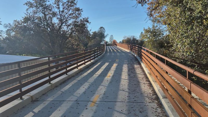
Two very different rides live on the same trail, and choosing the right bike makes a big difference.
California’s El Dorado Trail runs for more than 35 miles in total. The eastern part, between Camino and Placerville, is largely paved and works well for road bikes and hybrids.
Sources list that paved stretch at somewhere between about 8.5 and 13 miles depending on how it is measured.
West of Placerville, things change. Roughly 27 miles heading toward the White Rock area are dirt, often narrow and single-track.
That part tends to suit mountain bikers, hikers, and horseback riders better.
Some unpaved sections can be technical. Rocky ground and uneven surfaces may require good bike handling and wider tires.
Newer riders might enjoy staying on pavement until they feel ready for more challenge.
Horses share parts of the dirt trail. Slowing down, speaking calmly, and giving them plenty of room helps keep everyone safe. A rider on horseback can usually say the best way to pass.
Conditions on any given stretch may differ from older maps or descriptions, so checking current updates is helpful before picking a route.
Cyclists Can Choose A Short Outing Instead Of Tackling The Entire Route
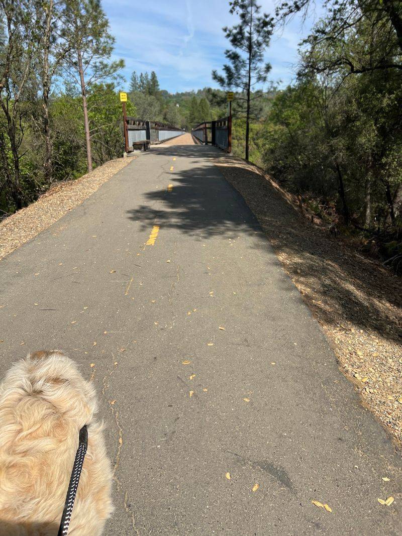
Nobody needs to ride 35 miles to enjoy a good day on the trail.
Many access points make it easy to pick a shorter segment. The Placerville section alone includes about 4.3 miles of paved path. That distance can work well for families, beginners, or anyone short on time.
Planning an out-and-back ride is a simple approach. Riders head out for a set time, then turn around and return to the start. This keeps the trip flexible and easy to adjust.
Energy levels can change during a ride. Turning back early is always fine, especially if legs feel tired or weather shifts. A relaxed pace often leads to a better time than pushing too hard.
Short rides also leave space for other plans. A morning on the trail can pair nicely with lunch in town or a visit to nearby farms. That balance can make the whole day feel unhurried.
Repeat visits help riders learn the trail bit by bit. Each outing can cover a new section, and over time the full route may feel familiar without ever needing one long exhausting day.
Trail Conditions And Temporary Closures Are Worth Checking Before Heading Out
Few things spoil a planned ride faster than reaching a trailhead and finding a closed gate.
Temporary closures on the El Dorado Trail can happen for several reasons. Past examples include brush clearing by CalFire, broadband installation, and storm drain work.
Official trail websites and local announcements usually share current updates. A quick check the night before or morning of a ride can prevent surprises. Keeping a backup route in mind also helps.
Wet weather affects the dirt sections the most. Riding through mud can damage the trail and make footing unsafe. Waiting a day or two after rain allows the ground to dry out.
Signs posted along the trail deserve attention. Detours and warnings are placed for good reasons, and following them keeps workers and riders safe.
Respecting closures also helps projects finish sooner.
Basic preparation rounds out a good plan. A charged phone, a map, and some knowledge of exit points can make any change in plans easier to handle.