This 8-Mile Idaho Trail Winds Past Wildflower Meadows, Mountain Creeks, And Two Hidden Waterfalls
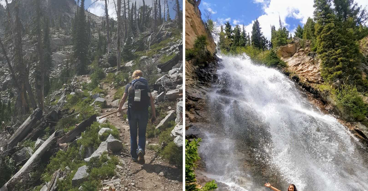
By the time the waterfalls show up, the trail has already been showing off for a while.
This Idaho hike does not save everything for one dramatic finish. The scenery starts early, with open meadows giving way to creekside stretches while granite peaks keep appearing beyond the trees.
That makes the walk feel generous.
You are not grinding through miles of nothing just to earn one good viewpoint. There is always something pulling your attention forward, and the two waterfalls feel more like bonus prizes than the entire reason for going.
The friendly terrain helps too.
Families can settle into an easy pace, photographers have plenty of excuses to stop, and nobody needs to pretend every break is “for the view” when snacks are clearly involved.
Bring enough water for the walk and leave some space on your camera.
The mist can handle the rest.
Follow The Trail Into Wildflower Meadows Beneath McGown Peak
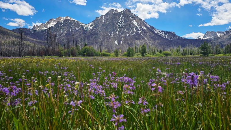
Walk about ten minutes from the parking area and the forest opens into grassland so wide it feels like a stage.
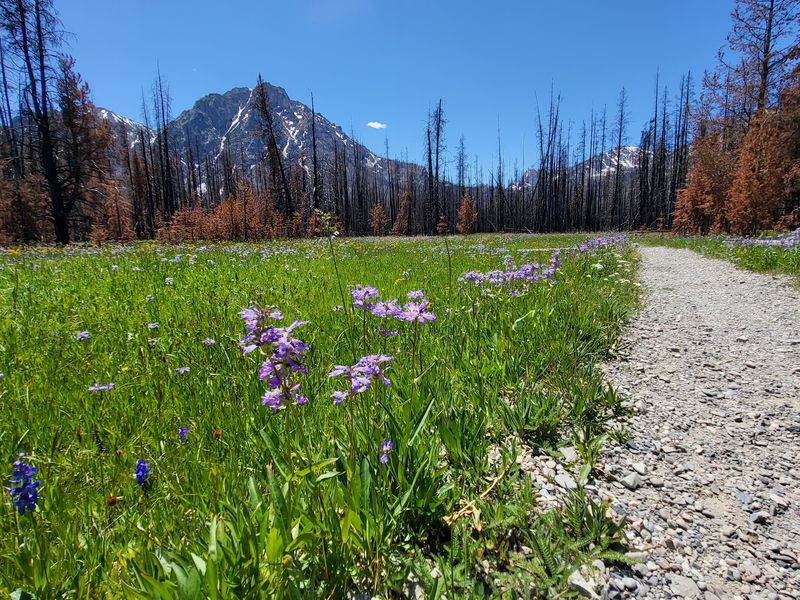
Lupine, paintbrush, and yarrow crowd the path in early summer, and bees work the blooms so busily you can hear them.
Above it all sits McGown Peak, a granite giant reaching 9,860 feet, its ridgeline reflected in the still water behind you. Hikers who visited during the second week of June found flowers everywhere and clear views of the peak the entire way.
The route here belongs to the Iron Creek-Stanley Lake Trail, and the tread stays flat and wide, ideal for short legs or slow strollers.
You will find the trailhead on Stanley Lake Road, Stanley, ID 83278, with a clean restroom and roomy parking.
Come early and the meadow grass holds dew that soaks your shoes. Come at sunrise and the peak glows orange before the valley wakes, which alone justifies the drive out from town.
Cross Clear Mountain Creeks As The Sawtooths Rise Ahead
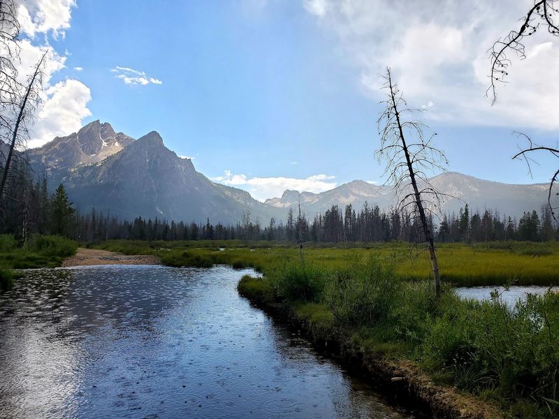
Stanley Lake Creek keeps you company for miles, sliding over pale stones with a sound somewhere between a whisper and applause.
The water runs cold enough to numb your ankles within seconds, a shock that feels wonderful on a warm afternoon.
Several crossings wait along the way.
Most are simple rock-hops by midsummer, but during spring snowmelt they widen and push harder, so trekking poles and shoes you accept getting wet make life easier.
Between crossings the path threads through thickets of willow, then opens into stands of alpine fir with soft needles underfoot.
Each bend delivers a slightly better look at the Sawtooth Range, whose gray spires seem to lean closer with every quarter mile.
Watch the shallows for water striders and the mud for elk tracks. Mosquitoes can be enthusiastic near the creek in June and July, so pack repellent and long sleeves rather than turning around early.
Take The Short Detour To Lady Face Falls
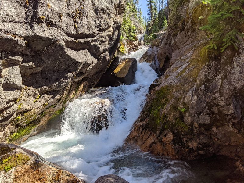
Roughly two and a half miles in, a small sign or a stack of rocks marks a spur heading left. Miss it and you will walk right past one of the prettiest surprises in this corner of Idaho.
Lady Face Falls squeezes through a narrow rock notch and drops into a pool the color of deep blue glass. Getting to the base means scrambling down loose stone, so take your time, test each foothold, and keep younger hikers close.
Even from the canyon rim the view rewards the short detour, with mist drifting up and the rumble echoing off the walls.
Round trip from the trailhead runs close to five miles with about 300 to 439 feet of climbing, a comfortable half-day outing.
Plan a snack break on a sun-warmed slab nearby. Fruit, trail mix, and a sandwich taste remarkably good with cold spray on your face and granite towers overhead.
Keep Going Until Bridal Veil Falls Appears At The End Of The Canyon
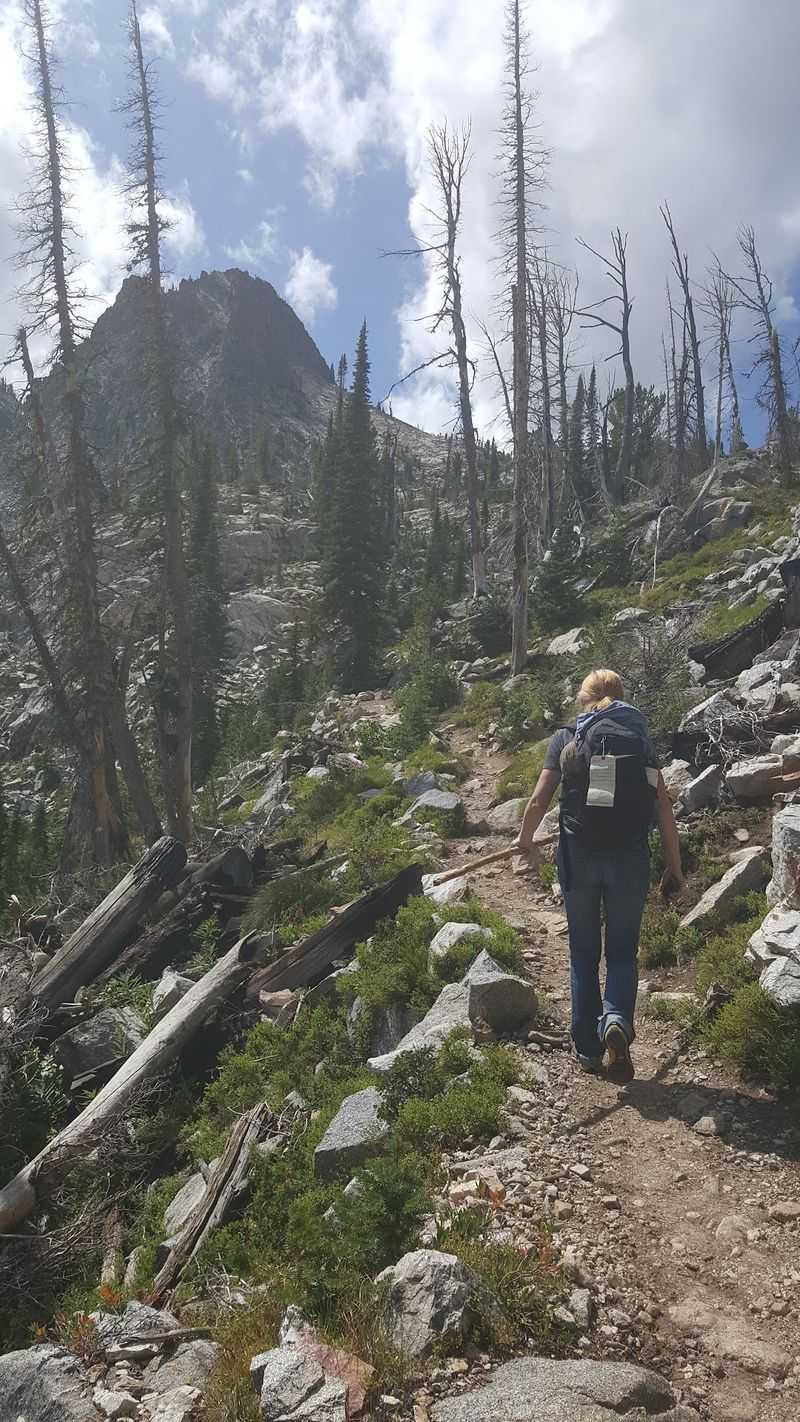
Another 1.3 miles beyond the first waterfall, the canyon narrows and the trail tips upward. Then a white ribbon appears high on the rock wall ahead, fed by snowmelt draining from the Hansen Lakes basin.
Bridal Veil Falls spills down a steep granite face in long thin strands that shift with the breeze.
A small sign bolted to a tree points toward a clearing beside the creek, which makes a fine spot to sit, eat lunch, and watch the water braid and rebraid itself.
One creek crossing before the falls can run pushy during high runoff, so check conditions and turn back if the current looks strong.
Footing grows rocky and loose as you approach the base, and the climb feels steeper than anything earlier in the day.
Total round trip lands between 7.4 and nearly nine miles with roughly 416 feet of gain. Start by mid-morning and you will have daylight to spare.
Watch For Smaller Cascades Pouring Down The Mountainsides
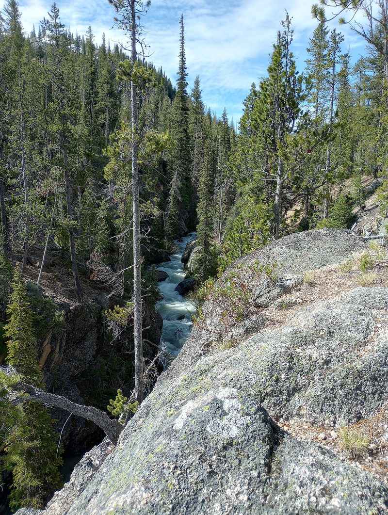
Two named waterfalls get the attention, yet the canyon walls hide dozens of smaller ones. Glance up during June and you may spot silver threads slipping between rock bands, some no wider than a garden hose.
Most of these come and go with the season. Fed by melting snowfields high on the ridges, they run loud in late spring, thin out by August, and vanish entirely in dry years.
Listen for them before you see them.
A sudden trickle in the quiet often means water is crossing the path just ahead, sometimes as a slick spot on stone, sometimes as a bright little chute dropping into the main creek.
Around these seeps the plant life turns lush, with mosses, monkeyflower, and dense green sedges thriving in the constant damp.
Photographers love these micro-scenes because the light filters through the spray and turns ordinary rock into something that sparkles.
Step carefully; wet granite gets slippery fast.
Enjoy Long Open Stretches Where The Views Stretch Across The Valley
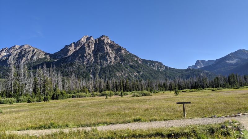
Long portions of the route run through open country rather than thick timber, which is unusual and wonderful for a mountain hike. Old burn areas thinned the forest here, and the result is sightlines that reach clear across the valley floor.
Standing in one of these clearings, you can trace the whole sweep of the Sawtooth National Recreation Area, ridge after ridge fading into pale blue distance. Silvered snags stand among young pines, and grasses ripple whenever the wind pushes down-canyon.
Shade grows scarce in these stretches, so a hat, sunscreen, and extra water matter more than you might expect at elevation. Midday sun bounces off light-colored soil and warms things quickly.
Wildlife-watching is good here too. Deer graze near the meadow edges, chipmunks dart across the trail, and hawks ride thermals above the burn.
Find a rock, sit for five quiet minutes, and let the scale of the place settle in.
Pack For Nearly Eight Miles Even Though The Elevation Gain Stays Moderate
Numbers can be deceiving. Roughly 416 feet of climbing sounds gentle, but stretched across eight miles of rocky tread, that distance still asks something of your legs and your water supply.
The first few miles roll along nearly flat, lulling hikers into thinking the whole day will be that easy. Closer to the falls the grade steepens and loose rock replaces smooth dirt, which is exactly where sturdy shoes earn their keep.
Bring at least two liters of water per person, plus salty snacks and something sweet for the walk back. Insect repellent is close to essential during early summer, and a light layer helps because canyon shade cools off quickly.
Restrooms sit at the trailhead, so handle that before setting out. Cell service is unreliable in this stretch of Idaho, so tell someone your plan and carry a paper map or a downloaded route.
Dogs are welcome on leash, and packing out every scrap keeps the canyon pristine.
Turn Around At The Waterfalls With Some Of The Best Scenery Still Behind You
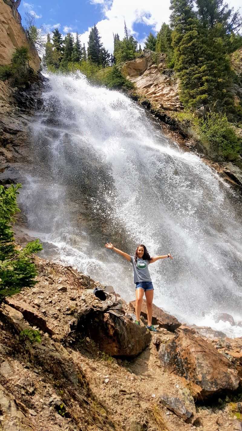
Beyond Bridal Veil Falls the route grows rough, faint, and considerably harder to follow, which makes the waterfall a sensible place to stop. Smart hikers treat it as the finish line and save their energy for the walk out.
Here is the happy secret of an out-and-back: the return trip faces a completely different set of views. Walking east, McGown Peak stands directly ahead, growing larger with every step, and the meadows glow warm gold in late-afternoon light.
Shadows lengthen across the grass, the creek sounds louder in the cooling air, and flowers that looked flat at noon suddenly show real color. Many people say the last two miles feel like the prettiest of the day.
Back at the lakeshore, a bench, a boat ramp, and a stretch of sandy beach wait for tired feet. Stanley itself is minutes away, ready with a hot meal and a very well-earned slice of pie.
And after a day like this, that first bite in town feels every bit as satisfying as the views you came for.