This Old Idaho Stagecoach Pass Still Feels Like A Wild West Shortcut Through The Mountains
Old mountain roads have a way of making modern highways look a little too comfortable.
High in the Beaverhead Mountains, one historic pass still feels like it remembers every rattling stagecoach, tired horse, and mail sack that ever crossed its rough old route.
This was not a scenic shortcut built for easy travel.
It was frontier movement the hard way, with passengers, freight, and news pushing through country that did not exactly roll out a welcome mat.
Today, the drive follows a corridor tied to deep history, rugged scenery, and the kind of mountain silence that makes the past feel closer than expected.
Between Idaho and Montana, this route gives travelers more than a pretty view.
It feels like a chance to ride through a chapter of the West that never fully disappeared.
A few miles here can make pavement, cell service, and smooth roads seem like very recent luxuries.
Start Where The Old Stage Road Still Shows
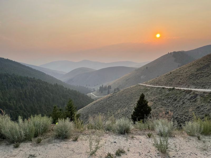
Old routes have a different kind of pull when pieces of them can still be traced on the land.
Mining-era travelers once crossed Lemhi Pass aboard the Red Rock-Salmon City Stage Company, which covered 68 miles between Red Rock, Montana, and Salmon City, Idaho, with eight stagecoaches operating daily.
Faint traces of the old road remain on both sides of the Continental Divide, preserving a route once traveled by horses, freight wagons, mail carriers, miners, and passengers.
The stagecoach service began in 1884 and connected valleys across the divide for about 25 years, turning this rough passage into a working transportation link rather than a romantic backdrop.
Starting from the Idaho side near Tendoy helps frame the route properly, especially for drivers following the Lewis and Clark Back Country Byway. The road is scenic, yes, but the deeper thrill comes from realizing how much history once rattled through this same mountain corridor.
Follow The Continental Divide Into Frontier Country
High ground feels different when it splits the continent. Lemhi Pass sits on the Continental Divide at roughly 7,378 feet, with water on opposite sides eventually feeding different great river systems.
That geography alone would make the place memorable, but the human history makes it far more powerful. Long before Lewis and Clark arrived, Shoshone people used this mountain passage as part of a much older network of movement through the region.
Lemhi Pass was not a discovery in the sense of an empty place suddenly found. It was an established route with Indigenous significance, later entered into the written record of the Corps of Discovery and then folded into stagecoach and mining-era travel.
From the pass, the landscape opens into mountains, valleys, and ridgelines that still feel remarkably spare and rugged.
The Continental Divide National Scenic Trail and the Lewis and Clark National Historic Trail both connect to this larger corridor, reinforcing how many different kinds of travelers have moved through it.
Standing near the divide, the place feels less like a simple viewpoint and more like a hinge between worlds. Geography, history, and frontier mythology all meet here without needing much decoration.
Picture Stagecoaches Climbing The Rough Mountain Route
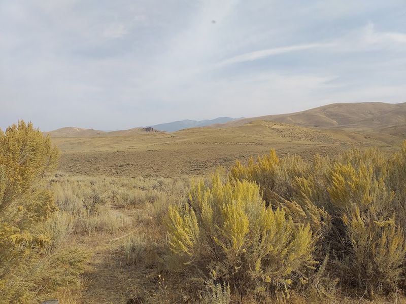
Horsepower meant something much more literal here in the 1880s. Stagecoaches crossing Lemhi Pass were not enjoying a scenic detour; they were part of a demanding transportation system linking mining communities, rail connections, mail service, and remote valleys.
Historical accounts describe stagecoach service between Red Rock and the Lemhi Valley beginning in 1884, with the route connecting valleys across the Continental Divide for about 25 years.
The pass itself may look rounded and open in places, but the western descent toward Tendoy was steep enough to remind every driver and passenger that mountain travel came with consequences.
Modern visitors still get hints of that challenge on the gravel roads, especially on narrow stretches where the route demands patience, low gears, and attention.
Imagining loaded coaches, teams of horses, freight, passengers, and mail on this terrain changes the way the drive feels.
What now counts as a backcountry adventure was once regular work. No climate control.
No roadside assistance app. No quick call for help when the weather turned rude.
Thinking about that effort adds respect to every curve. Lemhi Pass is not just a pretty crossing.
It is a place where travel once required skill, nerve, and endurance.
Stop For The Lewis And Clark History
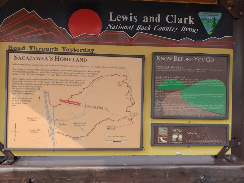
One of the most important moments of the Corps of Discovery happened at this mountain divide.
Meriwether Lewis crossed Lemhi Pass with a small advance party on August 12, 1805, entering what is now Idaho. Instead of the hoped-for water route, the view west revealed another vast stretch of mountains.
That realization mattered. Lemhi Pass was a point of anticipation and disappointment at the same time, because the landscape made clear that the journey to the Pacific would be far harder than a simple river passage.
Later that month, the broader expedition crossed the pass with crucial help tied to the Shoshone people and the acquisition of horses, which made the next stage of travel possible.
Sacagawea’s role as interpreter and cultural bridge belongs to that larger story, and nearby interpretive sites help visitors connect the landscape to the expedition’s route.
The Lewis and Clark Back Country Byway follows country that still looks surprisingly open and remote, which makes the history easier to imagine. Reading a sign is useful.
Seeing the ridges, valleys, and rugged distance is better. The pass turns textbook history into terrain.
Let The Gravel Road Keep The Wild Feel
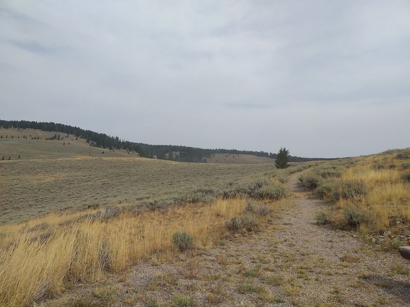
Smooth pavement would ruin part of the mood. The Lewis and Clark Back Country Byway and Adventure Road is described by BLM/NPS materials as a single-lane gravel route with occasional pullouts for passing.
That rougher character is not an inconvenience to be wished away; it is a major reason the drive still feels connected to the past. Gravel slows people down.
Pullouts require cooperation. Dust, rocks, curves, and grades make the route feel like a backcountry experience instead of a drive-through exhibit.
The road can generally be driven by a vehicle with good, sturdy tires when conditions are dry and favorable, but that does not mean drivers should treat it casually.
Lower gears are recommended on steeper grades, and travelers should expect a narrower, more remote road than a standard scenic highway.
Trailers, large RVs, and nervous drivers may find the route stressful, especially on tighter sections. The reward for that extra attention is atmosphere.
Forest, meadow, open ridges, and old-road history feel closer when the road still asks something of the person driving it. Lemhi Pass works because it has not been softened into a theme-park version of the frontier.
Watch The Lemhi Valley Open Below The Pass
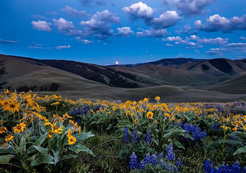
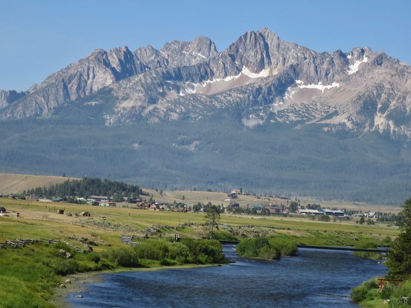
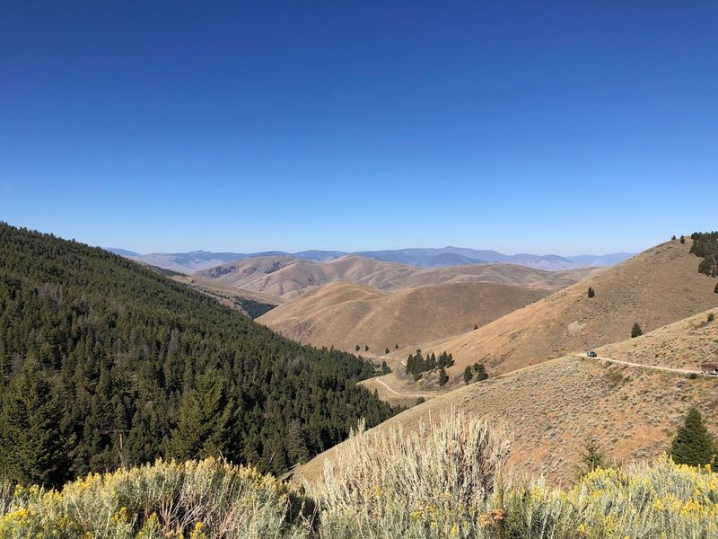
Views arrive with more force after a slow climb. Near Lemhi Pass, the landscape spreads into the kind of mountain-and-valley panorama that makes drivers forget the dust on the vehicle for a moment.
The byway moves through sagebrush country, meadows, forested slopes, high ridges, and open stretches where the Salmon River country and surrounding ranges begin to show their scale.
Scenic byway descriptions emphasize fir and pine, high-mountain meadows, rolling hills, and views that still evoke the landscape Lewis and Clark encountered in 1805.
That continuity is the most striking part. The view is not crowded with modern clutter, so the historical imagination gets room to work.
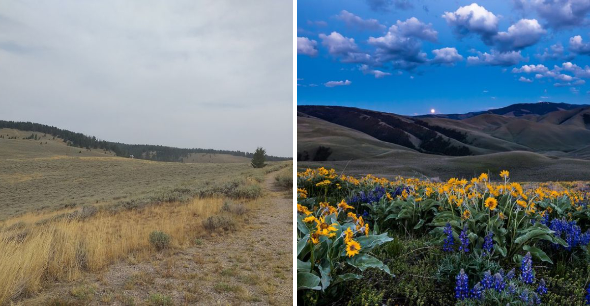
Wildflowers can brighten the route in season, while late summer and early fall bring a drier, golden tone that suits the road’s old frontier mood.
Wildlife sightings are possible in the broader area, especially during quieter morning and evening hours, though animals should never be treated as guaranteed attractions.
The valley views are enough on their own. Pull over only where it is safe, let faster or oncoming vehicles pass when needed, and take a few minutes to actually stand in the quiet.
The pass rewards patience more than speed.
Treat The Shortcut Like A Backcountry Drive
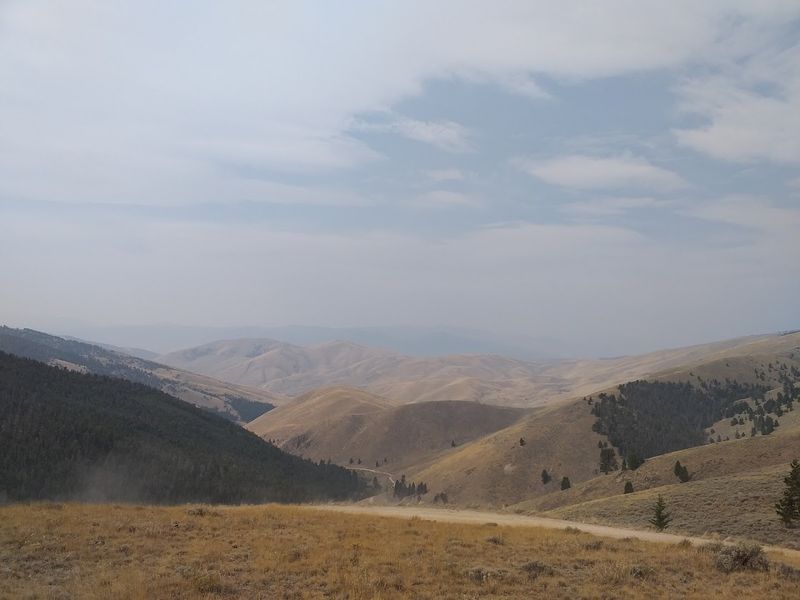
Calling this route a shortcut can lead to bad decisions. The Lewis and Clark Back Country Byway may connect places on a map, but it is still a remote gravel mountain drive with single-lane stretches, pullouts, grades, changing weather, and limited services nearby.
BLM/NPS materials describe the byway as about 39 miles and note that it takes roughly half a day to drive, with full services in Salmon and only partial services in smaller communities such as Tendoy, Lemhi, and Leadore. That should shape the whole plan.
Fuel up before leaving. Bring water.
Make sure the tires are solid. Carry a spare and know where the jack is hiding before the road teaches that lesson.
Cell service may be unreliable, and a printed or downloaded map is a wise backup. Lower gears help on steep sections, especially during descents.
Drivers should also use pullouts courteously because passing room can be limited. The adventure is worth it when treated with respect.
Handled carelessly, the same road can become stressful fast. Lemhi Pass feels like a frontier shortcut because it is still rugged enough to demand attention.
That is part of the point, not a flaw in the attraction.
Check Conditions Before Chasing The Old West Mood
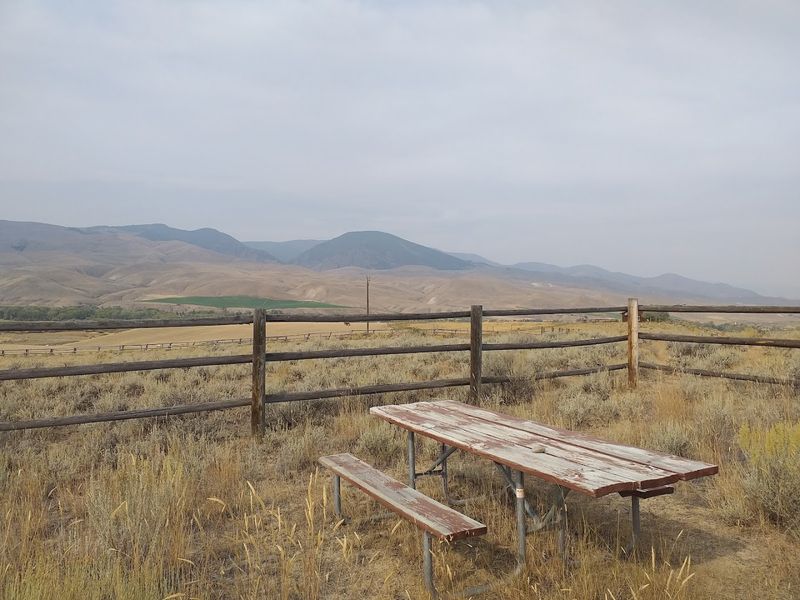
Timing can make or break the whole trip. Official byway materials note that snow usually closes the route from November until June, which gives visitors a practical travel window rather than a year-round guarantee.
Even after snow season, mountain weather can change quickly. Thunderstorms, mud, washouts, smoke, wind, and lingering snow patches can all affect road conditions depending on the year.
Checking with the relevant land-management offices before driving is the smartest move, especially for anyone coming from far away or planning the route as a major part of the day.
The Idaho side is tied to Salmon-Challis National Forest and the Lemhi County area, while the Montana side connects with Beaverhead-Deerlodge National Forest country.
Current road information, weather forecasts, and local advice matter more than old trip reports. Conditions that were easy last week may not be easy after a storm.
Preparation does not make the drive less adventurous. It makes the adventure safer and more enjoyable.
Once the road is dry, the vehicle is ready, and the day is clear, Lemhi Pass can deliver exactly what the title promises: mountain scenery, Wild West echoes, stagecoach history, and a crossing that still feels wonderfully far from ordinary.