Welcome To This California Forest Where Even The Ticks Come With A Warning
The warning is not the most interesting thing about this wilderness.
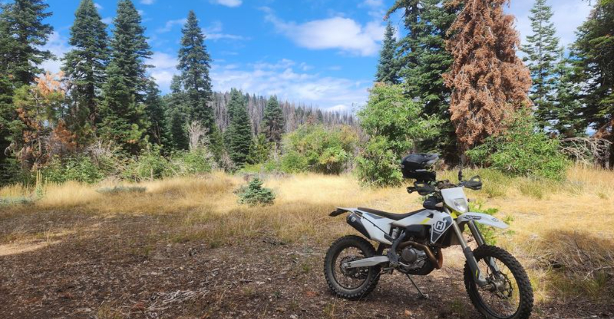
Far from California’s busier outdoor destinations, the landscape turns rugged and wonderfully undeveloped.
Forested slopes give way to open ridges, trails push into remote country, and long stretches can pass without the conveniences found at more polished recreation areas.
That isolation is the real story here.
Ticks are one practical concern, particularly around brush and grassy vegetation. Long clothing, repellent, and a thorough tick check afterward are sensible precautions.
But they should not overshadow the place itself.
This is country for hikers who appreciate fewer amenities and the possibility of hearing little more than wind moving through the landscape.
The ticks get the warning. The wilderness deserves the attention.
The Tick Warning Comes Straight From The Forest Service
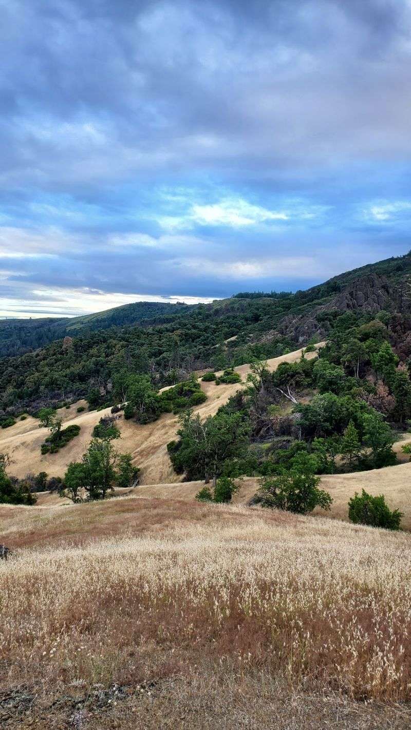
Most public land agencies keep their safety notes vague, but the guidance for this wilderness is unusually direct.
Ticks capable of carrying Lyme disease commonly live in the lower-elevation brush fields, according to the Forest Service.
Visitors are advised to check themselves carefully during and after a hike, and to remove any embedded ticks right away. That single piece of advice reshapes how a person packs for the trip.
Long pants tucked into socks, light-colored clothing that makes small dark specks easier to spot, and a pair of fine-tipped tweezers all earn a place in the daypack.
A quick check at the trailhead before driving home takes only a few minutes and saves a lot of worry later.
Rather than treating the warning as a reason to stay away, many hikers read it as a signal about the character of the land.
Brush fields grow thick where trails stay narrow and foot traffic stays light, which is exactly the kind of terrain that supports ticks. The same conditions produce the solitude people drive hours to find.
Awareness makes the difference between an uncomfortable surprise and an ordinary precaution.
Plenty of visitors move through these slopes each season without incident simply because they took the notice seriously. Preparation here feels like basic respect for a working wild landscape.
Nearly 54,000 Acres Make This A Serious Wilderness
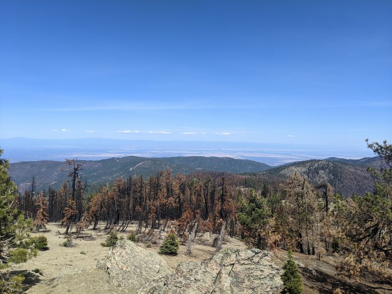
Scale is the first thing that separates a casual day-use forest from a true wilderness, and the numbers here are substantial.
Yuki Wilderness received federal designation in 2006 through Public Law 109-362, known as the Northern California Coastal Wild Heritage Wilderness Act.
It originally encompassed 53,887 acres spread across Mendocino and Lake counties.
Management responsibility is shared between the Mendocino National Forest and the Bureau of Land Management, which is more common in this part of California than people expect.
Two agencies overseeing one landscape means information sometimes lives in different places, so checking both sources before a trip helps.
Regulations for wilderness areas restrict motorized and mechanized travel, so travel happens on foot or horseback once past the boundary. An area this large swallows visitors quickly.
Groups that spread out for an afternoon may not see another party all day, and that emptiness changes the pace of a hike.
Distances feel longer without signposts every half mile, and water sources require planning rather than assumption.
Carrying a paper map alongside any digital navigation makes sense here, since cell coverage should not be counted on.
The acreage also explains why wildlife populations persist in ways they cannot in smaller, fragmented parcels.
The Landscape Drops More Than 5,000 Feet
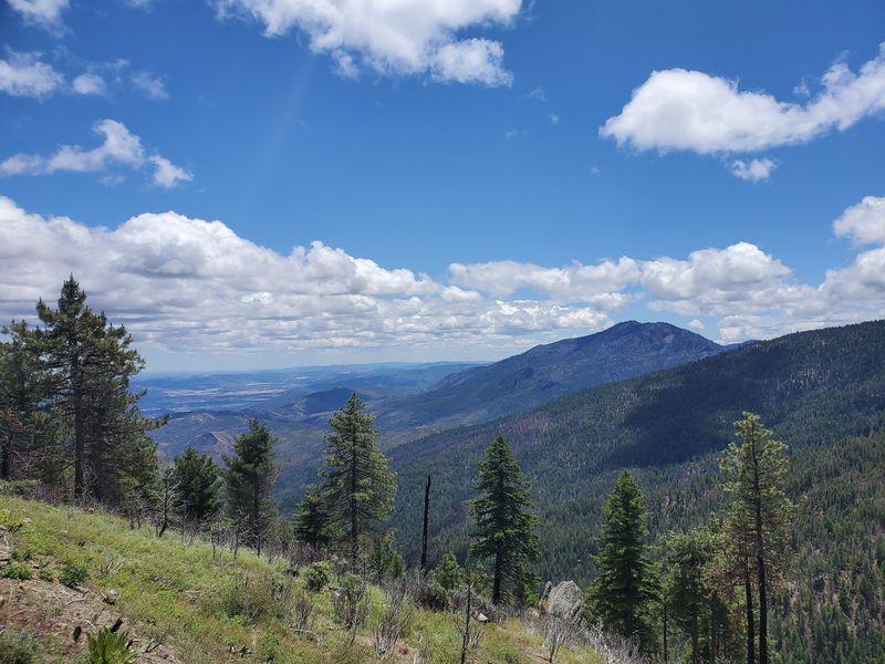
Few wilderness areas pack so many climate zones into one boundary line.
Elevations in Yuki Wilderness reach almost 6,500 feet near Windy Gap before dropping to roughly 1,150 feet along the Middle Fork Eel River.
A vertical range like that produces grasslands, chaparral thickets, and shaded conifer forest within a single trip. Practically speaking, weather can differ sharply between the top and bottom of a route.
Higher ground stays cooler and may hold snow into spring, while the river canyon can turn uncomfortably hot in summer afternoons.
Layered clothing solves most of the problem, and starting a climb early helps avoid the worst heat down low.
The elevation spread also affects how a hike feels underfoot. Upper slopes tend toward open grass and rock with wide views, while lower stretches close in with brush that brushes against sleeves.
Descending toward the river is easy on the lungs and hard on the knees, and the return climb deserves honest planning.
Wildlife shifts with elevation too, which is part of the appeal for anyone who likes watching a landscape change hour by hour. Birds heard in fir shade differ from those calling across dry chaparral.
Lower Brush Country Is Where Visitors Need To Pay Attention
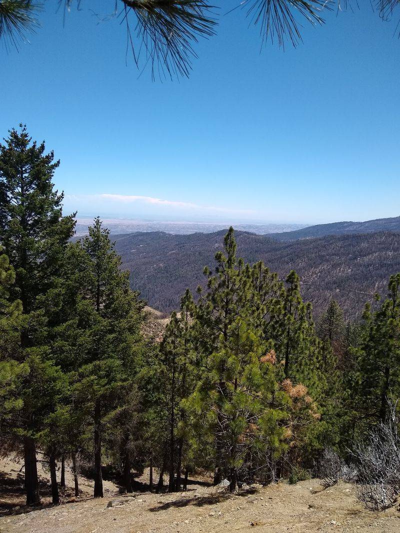
Thick vegetation has a way of making a place feel truly remote, and that texture comes with a tradeoff.
The same lower-elevation brush that gives parts of Yuki Wilderness its untamed feel is specifically identified by the Forest Service as prime tick habitat.
Paying closer attention in these stretches is simply part of moving through the terrain well.
Walking down the center of a faint path rather than pushing through shoulder-high growth reduces contact with vegetation. Taking breaks on bare rock or dry ground instead of leaning into shrubs works better as well.
A mid-hike clothing check every couple of hours catches hitchhikers before they settle in.
Brush country rewards patience in other ways. Chaparral holds small birds, lizards sunning on warm stones, and the sharp resinous smell that heat pulls out of leaves.
Sound carries differently in dense growth, so a rustle nearby can turn out to be nothing bigger than a towhee scratching in leaf litter.
Progress through these zones tends to be slower than open slopes suggest on a map, so building extra time into the plan prevents rushing.
The Middle Fork Eel River Runs Through The Wildest Part
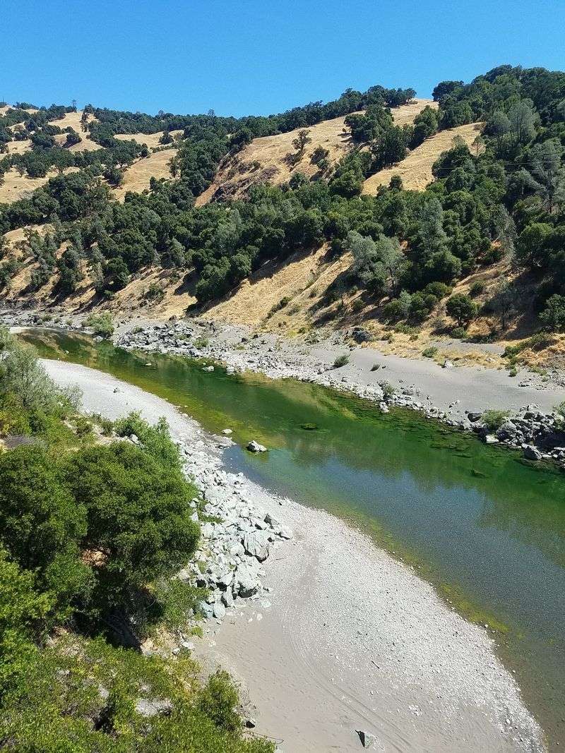
Water shapes the character of this wilderness more than any single ridge or peak.
The Middle Fork Eel River flows through the northwestern portion of Yuki Wilderness, carving a steep and rugged corridor.
Its presence gives the landscape a far more remote feeling than a typical developed forest recreation area offers.
Reaching the river involves real descent, and the canyon walls make casual wandering along the banks harder than it looks from above.
Anyone heading down should plan for a slower return and carry enough water for the climb back out.
Flows change with the season, so conditions in spring runoff differ greatly from late summer levels.
Sitting beside moving water in a canyon like this sounds different from a roadside creek. Echo bounces off rock, insects hum over gravel bars, and the air stays a few degrees cooler near the surface.
Shade arrives early in deep sections, which matters when planning a turnaround time.
River corridors also concentrate wildlife activity, so tracks in damp sand often tell a story about who passed through overnight.
One Fish Population Here Is Remarkably Important
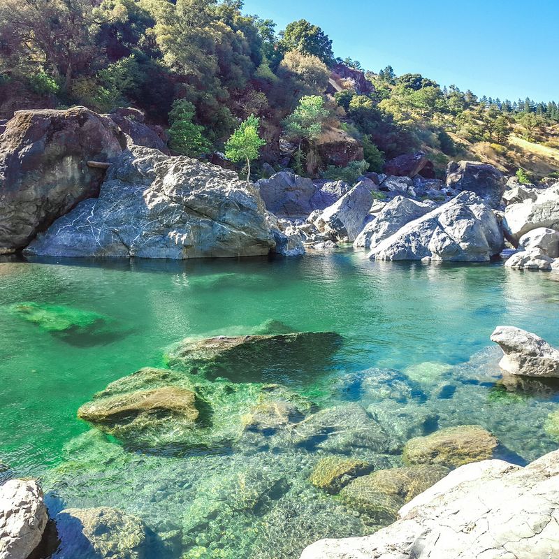
Beneath the surface of the Middle Fork Eel sits one of the most significant fish stories in California.
The river has historically supported between roughly one-third and one-half of the state’s remaining summer-run steelhead population.
That single statistic turns the watershed into one of the wilderness’s major ecological features.
The summer steelhead run here is considered the largest remaining wild run of these fish, and likely the state’s most important because it has not been affected by hatchery programs.
Cold freshwater habitat is what makes it possible, providing the conditions these fish need for migration and spawning.
Deep shaded pools serve as holding water through hot months before the fish move upstream. Understanding that context changes how a visit feels.
Staying out of pools where fish may be resting, avoiding disturbance of gravel beds, and keeping dogs from splashing through quiet water all help protect something genuinely rare.
Grizzly Flat Offers A Rougher Kind Of Base Camp
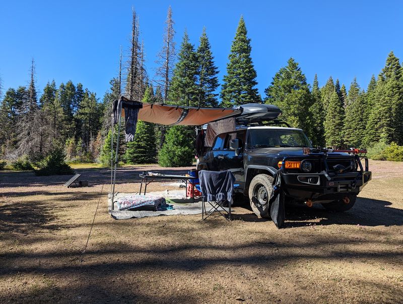
Not every base camp comes with a picnic table, and some travelers prefer it that way. Grizzly Flat sits beside Yuki Wilderness and remains available for dispersed camping.
The spot draws steady interest, particularly from hunters in the fall.
Facilities stay minimal by design. Vault toilets are provided, but there are no picnic tables and no trash service, which means visitors must pack out everything they bring in.
Water should be carried in, and a camp stove makes more sense than depending on fires given seasonal restrictions across the forest.
Camping here feels closer to parking in a quiet clearing than checking into a campground.
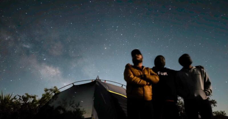
Sound at night comes mostly from wind in the trees and occasional wildlife, since neighbors are usually few and spread out.
Fall brings cooler nights and more activity, while quieter shoulder seasons offer more solitude. A few habits improve the stay considerably.
Arriving with daylight left makes site selection easier, leveling a sleeping area matters on uneven ground, and a headlamp becomes essential once dark settles in without any artificial light nearby.
Even Reaching The Camping Area Can Be An Adventure
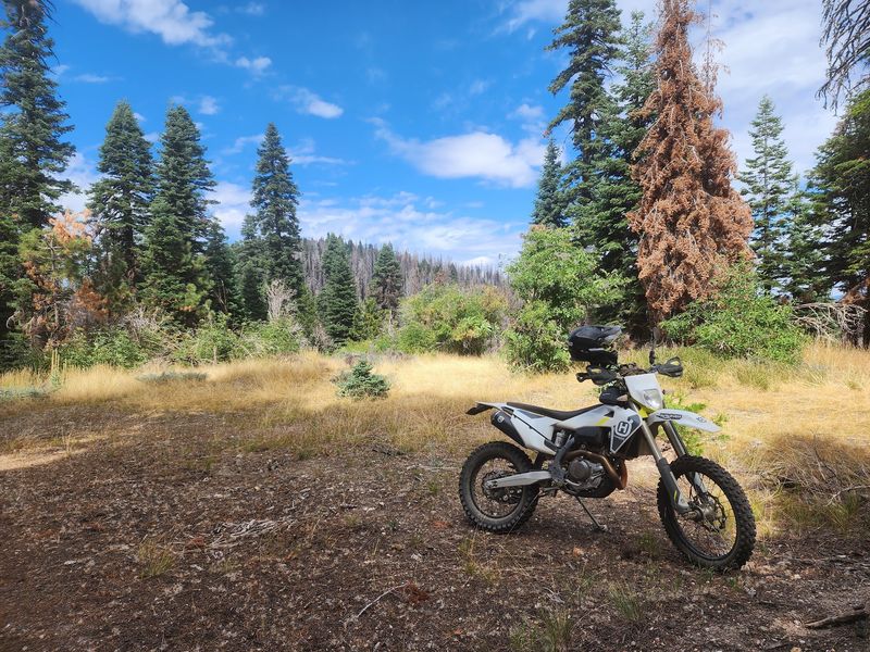
The drive in tells visitors everything they need to know about what waits at the end. A high-clearance vehicle is recommended by the Forest Service for reaching Grizzly Flat.
That recommendation underscores how removed the destination is from California’s more polished and heavily developed recreation areas.
Forest roads leading to spots like this can be rough and unpaved, with loose rock, ruts, and narrow sections.
RV trailers are not recommended because of the road conditions and the lack of turnarounds. Slow speeds, a full tank of fuel, and a spare tire in good shape all belong on the checklist before leaving pavement.
Road conditions shift with weather and season, so calling or checking with the forest for current status is worth the few minutes it takes.
Wet weather can make surfaces slick and soft, and downed trees occasionally block routes after storms. Downloading offline maps ahead of time helps when cell service disappears.
Approached with the right expectations, the drive becomes part of the experience rather than an obstacle.
Views open up between ridges, traffic thins to almost nothing, and the transition from highway to backcountry happens gradually enough to feel earned.