Where Bighorn Sheep Graze Beside The Road, This Idaho Canyon Byway Follows The Salmon River For Miles
A brown roadside sign near Stanley looks like a quick photo stop, but it marks the start of one of the wildest drives in Idaho. Past it, the pavement shadows the Salmon River for more than 160 miles through canyons, ghost-town country, and old river towns.
Bighorn sheep sometimes stand so close to the shoulder that drivers ease off the gas without thinking. Pack binoculars, fill the tank, and give yourself a full day to take it in.
A Sign At The Edge Of Stanley
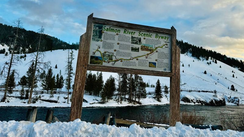
Start with a simple marker. The Salmon River Scenic Byway sign stands near Stanley in Custer County, and it serves as a handy gateway for one of the longest scenic drives in central Idaho.
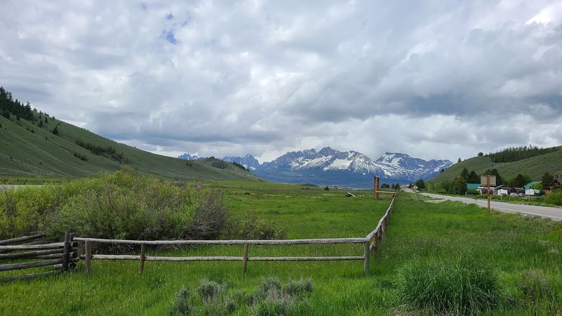
The listed address is 48 Gateway in Stanley, a tiny mountain town where the Sawtooths crowd the skyline. Plenty of travelers pull over here for a quick photo before heading north and east along the river.
What the sign represents is much bigger than the post it hangs on. The byway runs roughly 161 to 162 miles, following State Highway 75 out of Stanley toward Challis, then switching to U.S.
Highway 93 all the way up to Lost Trail Pass near the Montana line.
Along that ribbon of asphalt, the Salmon River stays close company for mile after mile. It twists through granite canyons, open sagebrush hills, and thick stands of pine and fir.
Visitors who stop at the sign often describe the route as the most scenic road they have driven in the state. That is high praise in a place with so many mountain highways, and it sets the tone for everything that follows.
Why They Called It No Return
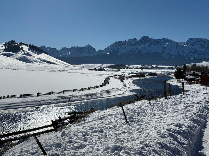
Early explorers took one look at the Salmon River’s current and gave it a nickname that stuck: the River of No Return. Boats could ride the water downstream, but fighting back upstream was nearly impossible.
That reputation still fits. The river moves fast and hard, carving its path through some of the most rugged ground in Idaho, and the byway hugs its banks for much of the way.
Long before any explorer arrived, this corridor mattered to Native peoples, including the Agai’dika Shoshone, often called the Salmon Eaters. The river’s fish runs shaped their seasons and travel.
Later, the Lewis and Clark Expedition passed through this region, searching for a route west. Their journey leaned heavily on the guidance of Sacajawea, a Shoshone woman whose homeland lay along these valleys.
Driving the byway today, you are rolling through chapters of that story. The road is modern, but the river beside it is the same restless water that turned back boats and fed families for generations.
Keep that history in mind as you drive. It turns a pretty view into something with real weight.
Curly Horns On The Riverbank
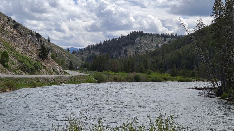
Brake lights in the middle of nowhere usually mean one thing on this road. A band of Rocky Mountain bighorn sheep has wandered down to nibble grass near the pavement.
The stretch between Challis and Salmon is the best bet for spotting them. Sheep graze along the river’s edge or pick their way across steep hillsides, sometimes so close that you can see the texture of their thick coats.
Rams carry those famous curled horns, while ewes wear shorter, slimmer ones. Watching a group scramble up a cliff face that looks nearly vertical is a lesson in balance you will not forget.
Binoculars help a lot here. Sheep often perch high on rocky ledges or stand across the water, and a closer view turns a tan speck into a full wildlife moment.
Early morning and evening tend to offer the best chances. Pull fully off the road when you stop, keep your distance, and let the animals go about their business.
Kids especially love counting sheep from the back seat. It turns a long drive into a friendly game.
Eagles, Otters, And Pronghorn Too
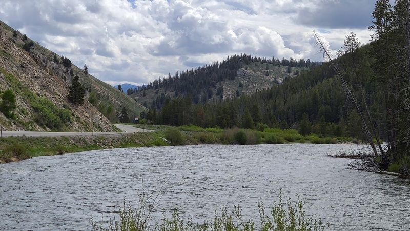
Sheep may steal the show, but the supporting cast is impressive. Bald eagles and osprey patrol the river, scanning the water for fish from snags and treetops.
Look along the banks and you might catch a river otter sliding into the current. They move quickly, so keep your eyes on quiet eddies and gravel bars.
Out in the open sagebrush country, pronghorn graze in loose groups. Their tan and white coats blend into the hills until one lifts its head and suddenly you see a dozen.
Elk and deer show up too, especially where forest edges meet meadows. Dawn and dusk are prime time, when animals come out to feed and the light turns soft and golden.
A simple field guide or wildlife app makes the trip more fun. Keeping a running list of sightings gives everyone in the car a job.
Remember that all of these animals are wild. Stay in or near your vehicle, use a zoom lens instead of your feet, and never offer food, no matter how curious a critter seems.
Sawtooth Peaks In The Rearview
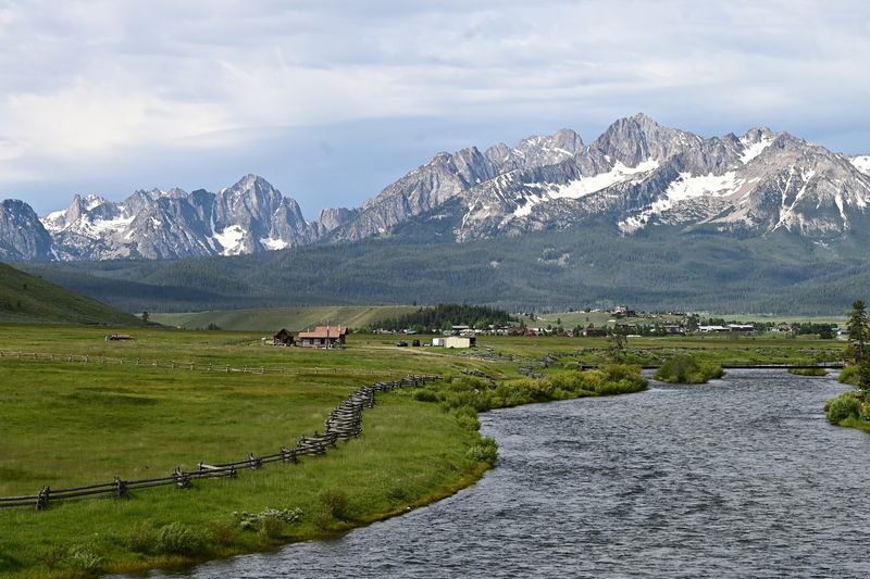
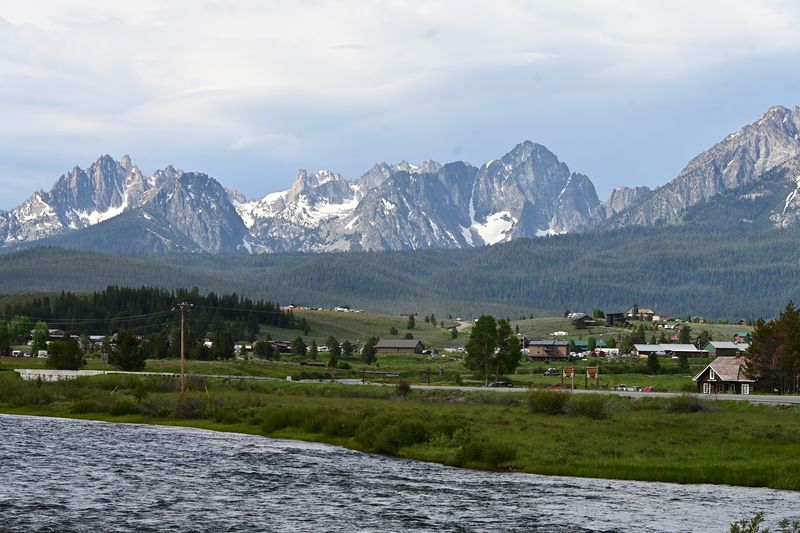
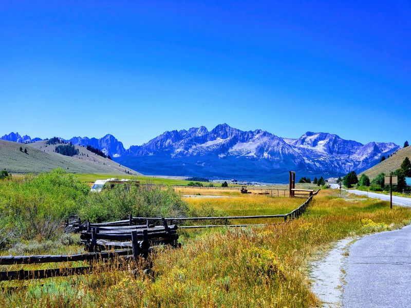
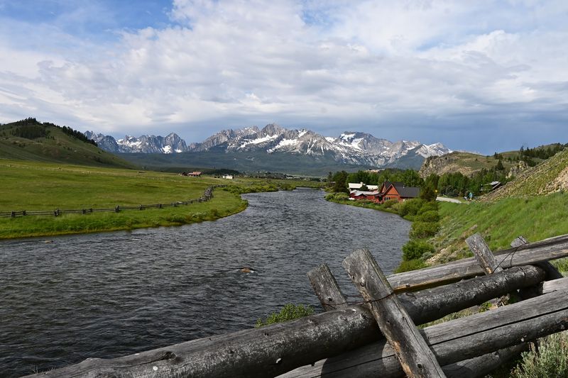
Leaving Stanley, it is hard not to glance back. The jagged Sawtooth Mountains rise behind town like a row of granite teeth, and they frame the first miles of the drive.
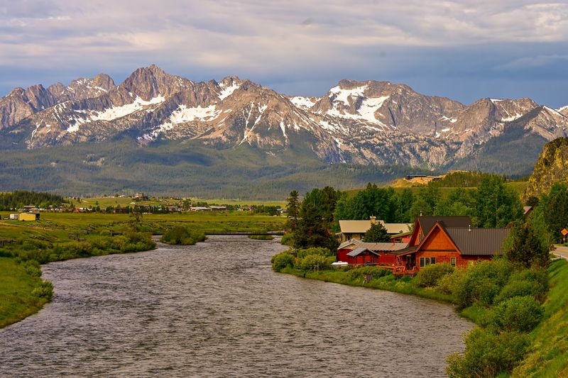
Travelers often mention how much they love the Stanley area, and it is easy to see why. The Salmon River runs clear and cold here, curling through meadows with those peaks towering overhead.
As Highway 75 heads downstream, the scenery shifts quickly. Tall timber gives way to narrower canyon walls, and the river gains speed as it drops toward lower country.
Granite outcroppings pop up along the road, some stacked like giant building blocks. The light plays across them differently every hour, so the same bend can look brand new on the drive home.
Photographers should plan a few stops in this upper section. Morning mist on the water and snow lingering on high summits make for classic central Idaho shots.
Even if you never leave the car, the view does the work. Roll the window down, breathe that pine-scented air, and settle in for the miles ahead.
From Pine Forest To High Desert
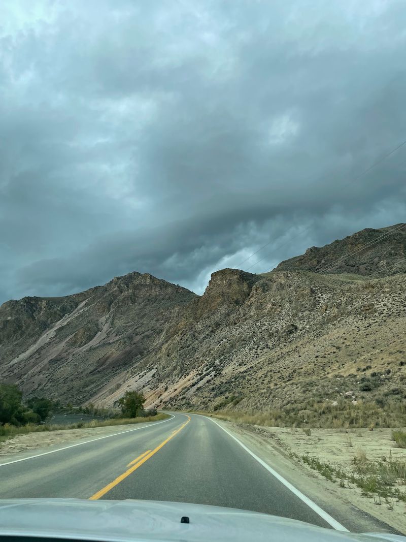
Around the middle of the route, the land changes its whole personality. Dense pine and fir forests thin out, and wide, dry high desert hills take their place.
Near Challis, the slopes turn tan and rust colored, dotted with sagebrush. The river becomes a bright green ribbon, lined with cottonwoods and willows that seem almost out of place against the bare hills.
That contrast is part of what makes the drive so memorable. In a single afternoon, you pass through landscapes that feel like they belong in completely different states.
Geology fans will notice layered rock and colorful cliffs along the way. Ancient forces shaped these canyons, and the river keeps carving them a little deeper every year.
Wide views open up here, too. On clear days, you can see mountain ranges stacking up in the distance, one faint blue ridge behind another.
Summer heat can build in this lower country, so pack water and snacks. Shade is limited once you drop out of the trees, and services are spread out between towns.
Challis And Its Mining Roots
Founded in 1878, Challis started out supplying the mining camps scattered through the surrounding hills. Miners needed food, tools, and a place to trade, and this little town filled that need.
Today it makes a natural halfway point on the byway. It sits roughly where Highway 75 meets U.S. 93, so it is a smart spot to stretch your legs, grab lunch, and top off the gas tank.
Just outside town, the Land of the Yankee Fork Visitor Center tells the region’s story in detail. Exhibits cover local geology, history, and the mining techniques that once drew fortune seekers here.
Stopping there first gives context to everything you see afterward. Old diggings and rock scars on the hillsides suddenly make a lot more sense.
Challis keeps a slower rhythm than bigger Idaho towns. That small-town calm is part of the appeal after hours of winding canyon road.
Check visitor center hours before you go, since they can shift with the seasons. A quick call or look ahead of time saves disappointment if you are driving in during the shoulder months.
Ghost Towns Off The Main Road
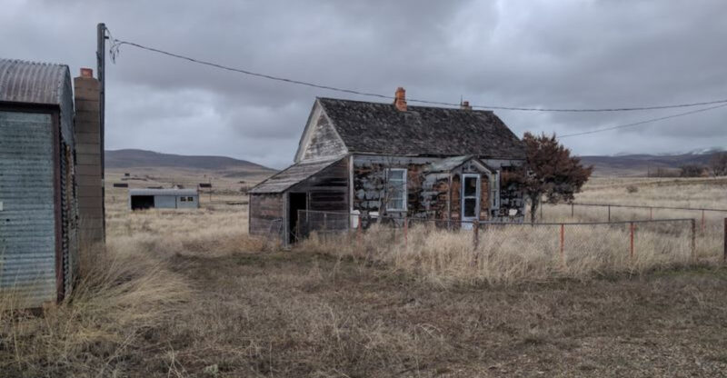
Weathered boards, empty windows, and quiet streets wait just off the byway. Bayhorse, Bonanza, and Custer are former mining towns that now stand as reminders of a busy era long past.
Each one tells a piece of the same story. Prospectors rushed in, towns sprang up almost overnight, and when the ore ran thin, people packed up and moved on.
Walking among the old structures feels a little like stepping into a history book. You can picture boardwalks full of miners, shopkeepers, and families making a life in rough country.
Custer and Bonanza sit up the Yankee Fork area, making them a natural side trip from the Challis end of the route. Bayhorse lies in the hills nearby as well.
Side roads can be gravel and narrow, so check conditions before heading out. A high-clearance vehicle helps, and some routes may close in winter.
Please treat these places gently. Leave artifacts where they lie, stay out of unstable buildings, and snap photos instead of souvenirs so the next visitor gets the same experience.
Salmon, A River Town Since The 1860s
Mining gold brought people to Salmon in the 1860s, and the town grew up right along the river that shares its name. It remains the biggest stop on the northern half of the byway.
Here the Lemhi and Salmon rivers come together, and the valley opens up wide and green. It is a welcome sight after long stretches of canyon driving.
The Sacajawea Interpretive Cultural and Educational Center is a highlight. It shares the story of the Shoshone woman who helped guide Lewis and Clark, and it connects her journey to the land around town.
Families often find it a great place to slow down. Walking paths and exhibits give kids a chance to burn off energy while learning something along the way.
Salmon also works well as an overnight base. You can explore nearby side roads, head up toward Lemhi Pass, or simply relax by the water.
Hours and any fees at the center can vary by season. It is worth checking ahead before planning your day around a visit.
Gateway To The Big Wilderness
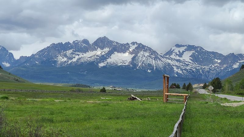
Few roads brush against country this wild. The byway offers access toward the Frank Church-River of No Return Wilderness, one of the largest wilderness areas in the lower 48 states.
That wilderness stretches across a huge swath of central Idaho. It holds deep canyons, remote rivers, and mountains with no roads at all.
Much of the byway also passes through the Salmon-Challis National Forest. Forest lands offer campgrounds, trailheads, and river access for travelers who want to trade the car for a pair of boots.
Standing at a pullout and staring toward those endless ridges gives a real sense of scale. It is humbling to realize how much untouched land lies just beyond the pavement.
Anyone heading into the backcountry needs solid planning. Cell service is spotty or missing in many areas, so download maps and tell someone your route before leaving.
For casual visitors, simply knowing the wilderness is out there adds to the drive. The river you follow flows straight from that rugged heart, carrying snowmelt from peaks few people ever see.
Rafts, Kayaks, And Whitewater Summers
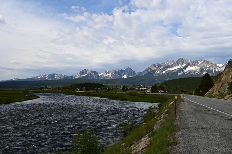
Bright rafts bobbing through rapids are a common summer sight from the road. The Salmon River’s swift water draws kayakers and rafters all through the warmer months.
Watching them from a pullout is entertaining on its own. Paddlers shout, spin through waves, and sometimes get a cold splash that makes everyone laugh.
Outfitters in the area run guided trips for people who want to join in. Options range from gentle floats to wilder rides, so beginners and seasoned paddlers can both find something that fits.
Anglers enjoy the river too. Quiet bends and gravel bars make peaceful spots to cast a line while the current hums along.
River water here stays cold even on hot days. Life jackets are a must, and conditions can change quickly with snowmelt, so trust local guides and posted warnings.
If floating is not your thing, bring a picnic instead. Plenty of spots along the byway let you sit on a rock, dip your toes, and simply watch the water race by.
Wildflowers, Then Golden Aspens
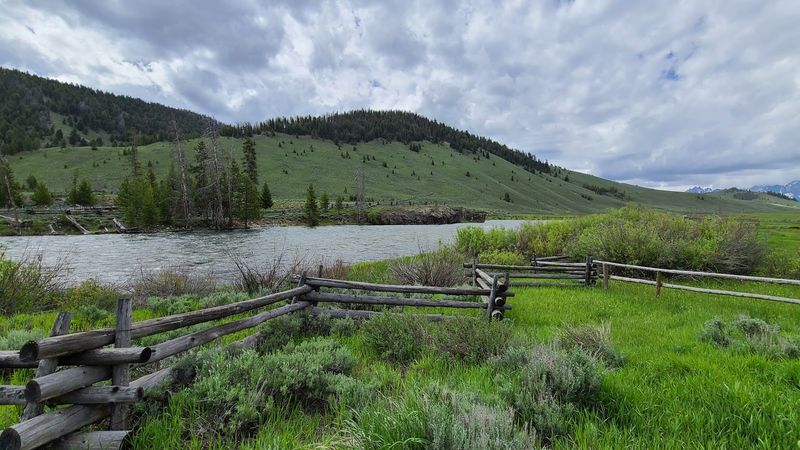
Timing changes everything on this drive. Spring and summer bring wildflowers, with areas like Lemhi Pass bursting into color when the snow finally melts.
By late September and into October, the canyon puts on a different show. Aspens, cottonwoods, and willows turn rich shades of red, yellow, and gold along the river.
Fall also brings cooler air and fewer crowds. It is a favorite season for photographers, and wildlife often seems more active as animals prepare for winter.
Summer remains the busiest stretch. Long daylight hours give plenty of time for side trips, river stops, and lingering in small towns.
Winter is quieter and colder, with snow dusting the high country. Road conditions can vary, especially near the passes, so check before you drive during the colder months.
No matter the season, plan for changing weather. Mountain temperatures swing fast, and a sunny morning can turn chilly by afternoon.
A warm layer in the back seat is always a good idea in central Idaho.
Planning Your Day On The Road
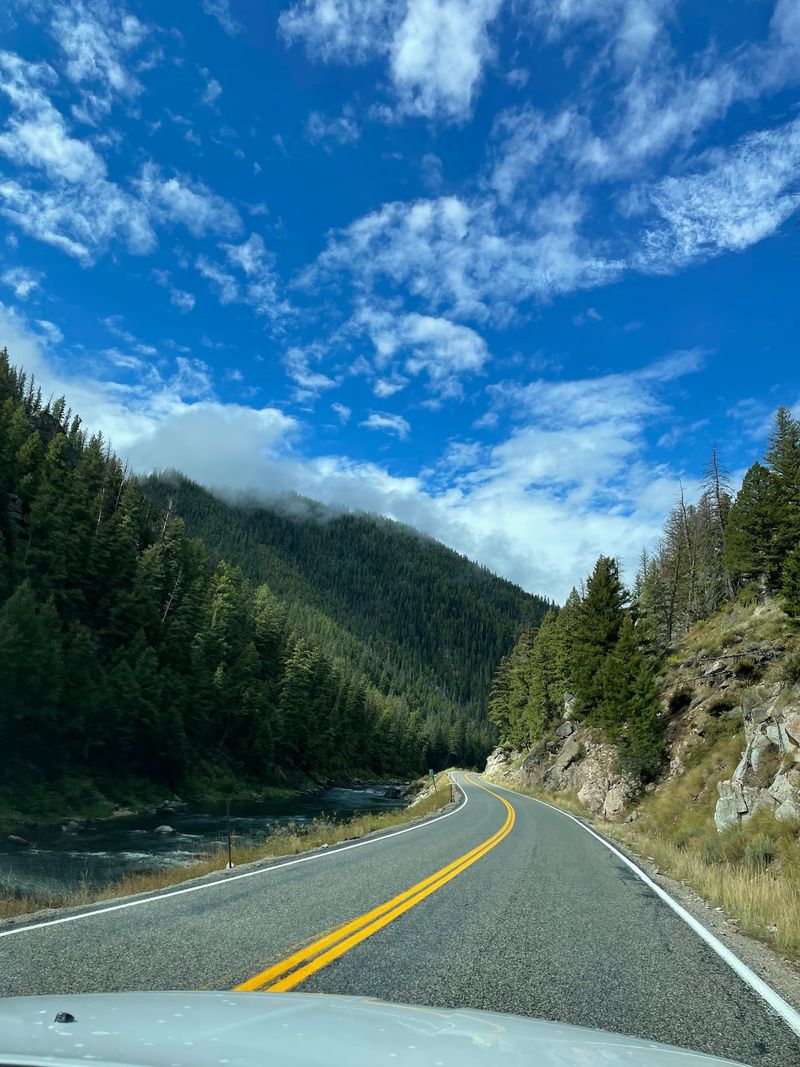
Gas stations are few and far between, so fill up in Stanley before rolling past the sign. Challis and Salmon are the main spots to refuel along the way.
Visitors often call the drive a great day trip, and that is a fair way to think about it. Driving the full route without stops takes a few hours, but realistically you will want most of a day.
Pack binoculars, water, snacks, and a paper map. Cell coverage drops out in long stretches of canyon, and a printed map never runs out of battery.
The byway itself is a public highway with no fee to drive it. Some visitor centers, campgrounds, or guided activities may charge a few dollars, so check details before you go.
Use pullouts when you stop to look at wildlife. Stopping in the travel lane on a curvy canyon road can be risky for everyone.
Finally, go slow and enjoy it. The whole point of this road is the scenery, and rushing past bighorn sheep would be a real shame.
Worth Every Winding Mile
Some drives are about getting somewhere. The Salmon River Scenic Byway is about the getting itself, one river bend and rocky ridge at a time.
Travelers who have tried it tend to rank it at the top of their Idaho list. One visitor even placed it above other well-loved routes like the Payette and Ponderosa Pine byways, which says a lot.
What makes it special is the mix. Bighorn sheep on the riverbank, ghost towns in the hills, rafters in the rapids, and small towns with deep roots all share the same stretch of road.
It suits families looking for an easy adventure, retirees who like a slow pace, and photographers chasing good light. Wildlife lovers will be especially happy.
Start at that simple sign near Stanley, and let the river lead the way. Take your time, stop often, and keep your eyes on the cliffs.
Somewhere past Challis, a curly-horned ram may lift its head and watch you roll by. Moments like that are exactly why this Idaho byway stays with people long after they get home.