This Idaho Escape Is So Remote The Nearest Road Is About 40 Miles Away
Forty miles does not sound outrageous until there is no road underneath those forty miles.
That is when the number starts feeling very different.
Deep in one of Idaho’s wildest corners, reaching the nearest road can mean crossing mile after mile of backcountry on foot or horseback. There is no quick exit waiting around the next bend and no convenient shortcut back to pavement.
The isolation is the whole point. Once you are that far in, everyday life feels almost absurdly distant. Phones matter less.
Clocks matter less. Even the idea of “running into town” becomes a joke.
For experienced wilderness travelers, that kind of remoteness is exactly what makes the journey unforgettable. Nearly 40 miles from a road is not just far.
It is the kind of distance that makes civilization feel like another country.
See What True Backcountry Solitude Feels Like
The first thing that stands out here is not one peak or one river. It is the sheer amount of open country.
Roughly 1.34 million acres stretch across the wilderness, and large sections remain without established trails. That gives visitors plenty of chances to experience quiet without claiming the landscape is completely empty.
Some routes still see hikers, riders, anglers, and backcountry travelers during popular months. Venture farther in, though, and the distances begin to work in your favor.
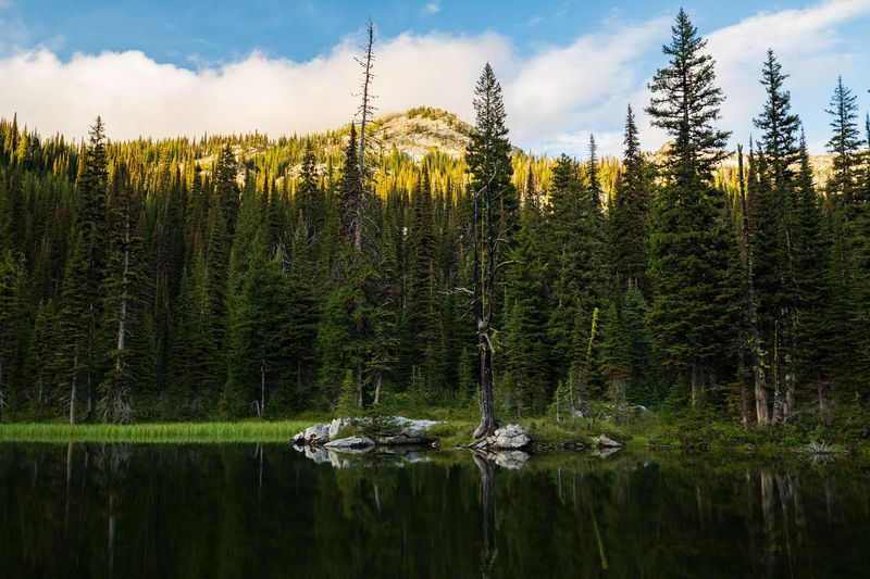
Forested ridges separate valleys. Canyons break up sightlines.
Mountain passes make one section feel worlds away from the next. You can spend hours moving through terrain that changes slowly and naturally around you.
Nothing needs to be staged for the effect to work. The scale handles that on its own.
Even a mapped trail can feel remote once roads disappear behind the trees. For travelers who value elbow room, long views, and a quieter pace, the Selway-Bitterroot offers a remarkable amount of all three.
Leave The Road Network Far Behind
Getting close to this wilderness is only the beginning. Roads can reach trailheads around its edges, but they do not continue through the designated interior.
Motorized vehicles and mechanized travel are generally prohibited once you enter wilderness. From there, hiking and horseback travel take over.
U.S. Highway 12 provides access to parts of the Idaho side.
Highway 93 helps travelers approach from the Bitterroot Valley in Montana. Farther south, the Magruder Corridor adds another unusual route into the region.
This primitive road runs for about 101 miles between two huge wilderness areas. The Selway-Bitterroot lies on one side.
The Frank Church-River of No Return Wilderness lies on the other. The corridor remains outside designated wilderness, so vehicles can still use it.
Conditions can be rough, and some approaches require patience. Once you step beyond those access routes, the surroundings change quickly.
Asphalt, signs, and roadside stops fade away. Forest, mountain terrain, rivers, and long trail miles begin taking their place.
Follow Trails Deep Into Rugged Mountain Country
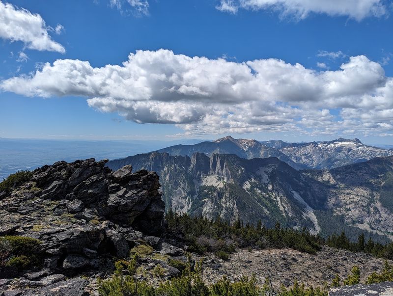
Elevation changes give the Selway-Bitterroot much of its visual drama. Lower country can feel thick with trees and river vegetation.
Higher routes bring exposed ridges, granite, and broad mountain views. The Bitterroot Range forms the rugged divide between Idaho and Montana.
Trapper Peak rises to 10,157 feet and stands as the range’s highest summit. Trails weave through many parts of this country, but they should not be mistaken for easy park paths.
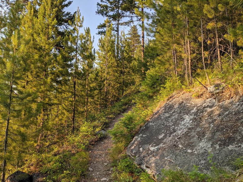
Some receive limited maintenance. Fallen trees, erosion, brush, and weather damage can slow progress.
Conditions also change after storms and wildfires. That makes current trail information especially useful before a longer trip.
Reliable navigation matters too. Paper maps and a compass remain sensible companions in remote terrain.
The rewards are easy to understand once you start gaining elevation. A shaded forest route can suddenly open onto rocky country with views extending for miles.
Then the trail may drop again toward water and trees. The landscape keeps changing without ever feeling crowded with development.
Cross Rivers And Forests With Few Signs Of Development
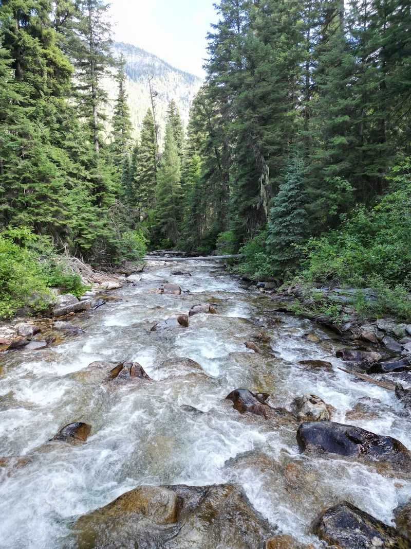
The Selway River gives the western side of the wilderness a completely different personality. Water cuts through deep valleys below steep forested slopes.
Old-growth cedar, fir, and spruce appear in parts of the lower country. Drier hillsides can support ponderosa pine and more open vegetation.
The contrast keeps the river corridor visually interesting for long stretches. This is also serious whitewater country.
Experienced paddlers know the Selway for demanding rapids and limited access. The controlled permit season runs from May 15 through July 31.
Launches are tightly limited during that period. Hikers and riders experience the river more slowly.
Trails follow portions of the drainage and connect with side valleys that climb toward higher terrain. The scenery feels broad rather than polished.
You are more likely to notice rock walls, forest, current, and mountain slopes than developed viewpoints. That simplicity suits the setting.
The Selway does not need elaborate attractions around it. The river itself gives this corner of Idaho enough movement, sound, and scenery to hold your attention.
Camp Where Night Skies Feel Exceptionally Remote
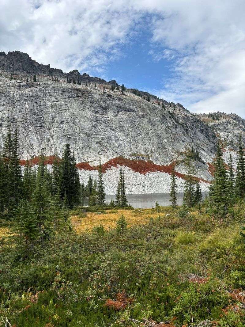
A night in the backcountry changes how this place feels. Day hikers can cover impressive ground, but camping gives the surrounding distance more time to sink in.
Evening arrives without a parking lot nearby. The last light disappears behind ridges instead of buildings.
Clear nights can reveal impressive stars because large portions of the wilderness sit far from major population centers. The experience is simple, but it requires preparation.
There are no campground-style services waiting deep inside. Visitors need suitable sleeping gear, water treatment, food storage, navigation equipment, and weather protection.
Temperatures can fall quickly at higher elevations. A warm afternoon does not guarantee a mild night.
Campsites should be chosen with care, and water sources need protection. Everything carried in should be handled responsibly.
Fire restrictions can also change during dry periods. Checking current rules before departure is essential.
With the practical details covered, the reward is straightforward. You get more time with the landscape and fewer reasons to rush back toward civilization.
Watch For Wildlife In Vast Undisturbed Habitat
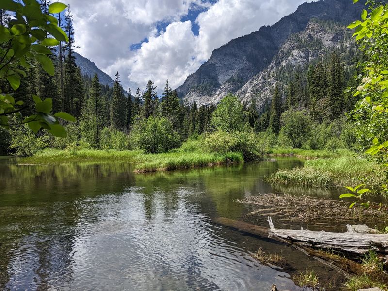
Wildlife has plenty of room to move across this enormous landscape. Elk are closely associated with the Selway country and use its forests, slopes, and quieter interior sections.
Deer and moose also live throughout the broader region. Black bears, mountain lions, wolves, bighorn sheep, and mountain goats add to the variety.
None of that guarantees a sighting on any particular trail. That uncertainty makes encounters more memorable when they happen.
River corridors bring another set of possibilities. Birds use the waterways and surrounding forests, while native fish occupy the cold streams below.
The best approach is simple. Watch from a respectful distance and avoid turning a sighting into a chase.
Food and scented items also need careful storage in bear country. That protects both visitors and animals.
Some of the most enjoyable moments can be small ones anyway. Tracks near a muddy bank, distant movement on a slope, or an eagle above the river may be all you see.
In a place this large, patience usually works better than searching too hard.
Plan Carefully Because Services Are Far Away
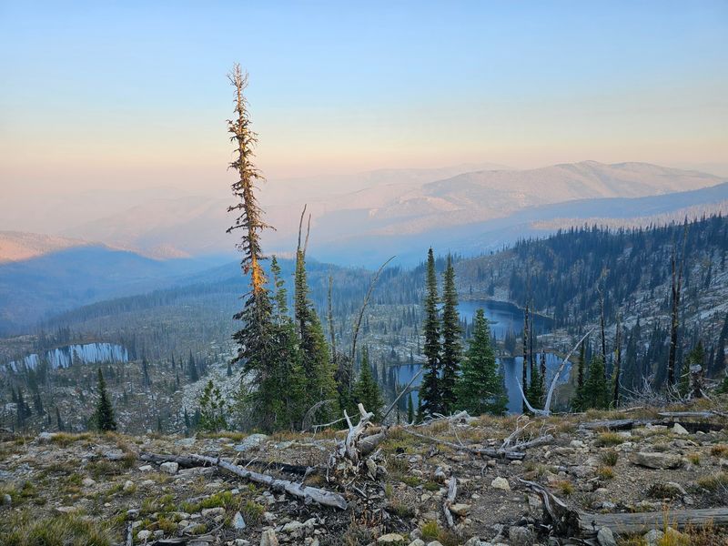
The size of the Selway-Bitterroot means planning should begin before your boots reach the trail. Routes can be long, services are limited, and conditions change quickly in mountain country.
Detailed maps are worth carrying even if you use digital navigation. Extra food, weather layers, water treatment, and basic emergency supplies can make a major difference.
Trail reports also deserve a look before departure. Storms, fallen trees, wildfire effects, and seasonal closures can alter a route.
River trips require additional attention. The Selway’s controlled launch season lasts from May 15 through July 31.
During that window, only one permitted party can launch each day. Group size is limited to 16 during the controlled season.
Different rules apply outside those dates. Road conditions matter too, especially when approaching remote trailheads or the Paradise launch area.
A quick check with the relevant Forest Service office can prevent unpleasant surprises. Preparation here is not about making the trip complicated.
It simply gives you more freedom once you arrive and fewer problems to solve far from help.
Understand Why This Wilderness Feels So Wild
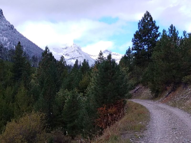
The Selway-Bitterroot became part of the National Wilderness Preservation System in 1964. It was among the original areas protected when the Wilderness Act became law.
Its backcountry history stretches even farther because portions had already received earlier primitive-area protection. Today, roughly 1.34 million acres remain within the designated wilderness.
That makes it the third-largest wilderness area in the Lower 48. The number sounds impressive, but the terrain explains its character better.
Glacier-shaped mountains rise along the state line. Granite ridges break above deep valleys.
Forests cover huge lower sections. Rivers cut through country that still has very little development.
Trails provide access, but they do not reach every corner. Large sections remain without established routes.
That mixture creates an experience that feels different from a typical mountain park. You are not moving between attractions.
You are moving through one continuous landscape. The farther you travel, the more the scale becomes the story.
In this part of Idaho, wilderness is not a small feature on the map. It is the map.