Skip Patagonia For This Michigan Town With Scenery That Feels Just As Wild
Houghton has a national park headquarters downtown, and the park itself sits on a remote island out in Lake Superior.
Yes, you can catch a ferry from town to Isle Royale, where moose and wolves roam free.
So what else is close by? A waterfall drops 110 feet into an ancient volcanic gorge just outside town.
Houghton-Douglass Falls is the tallest permanent plunge waterfall in Michigan, and it runs all year.
Okay, but what makes the town itself special? A 4,500-foot wooden boardwalk follows the Pilgrim River without leaving city limits.
Add old-growth pines, mountain drives, and Northern Lights views nearby.
Why fly to South America when this kind of wild sits at the top of the Upper Peninsula?
Your Ferry To A Wolf-And-Moose Island Leaves From Town
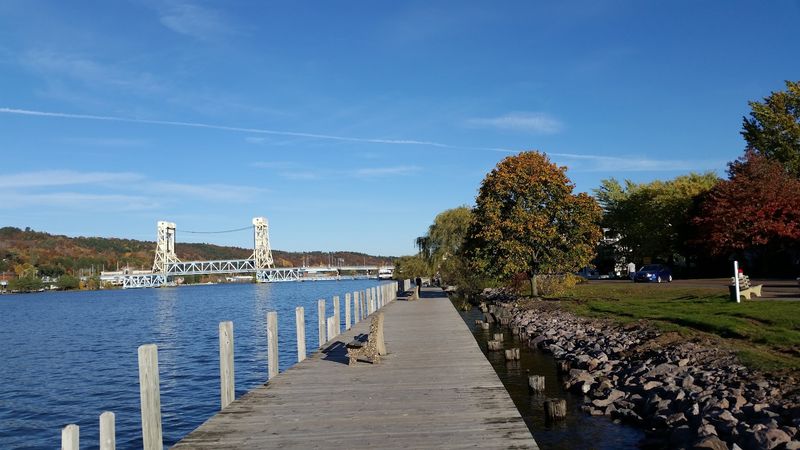
Most national parks keep their headquarters close to the action. Isle Royale National Park maintains its mainland headquarters in downtown Houghton, while the park itself sits far out in Lake Superior.
That setup makes Houghton, Michigan, a natural launch point for one of the country’s most remote national parks.
The Ranger III passenger ferry departs from the waterfront headquarters on Lakeshore Drive. The crossing takes approximately six hours, with seasonal departures generally operating twice weekly.
Once there, the island belongs to backpackers, hikers, paddlers, and nature enthusiasts. Moose and wolves inhabit its forests, while rocky shorelines and inland lakes offer endless scenery to explore.
The big prize for hikers is the Greenstone Ridge Trail. Stretching approximately 40 miles across the island, it follows the high ground through dense forest and open ridges. Completing the route requires careful preparation and several days of hiking.
The ferry operates from late May through early September. The park itself welcomes visitors from April 16 through October 31, with access arranged according to seasonal transportation schedules.
A 110-Foot Waterfall Waits In An Ancient Volcanic Gorge
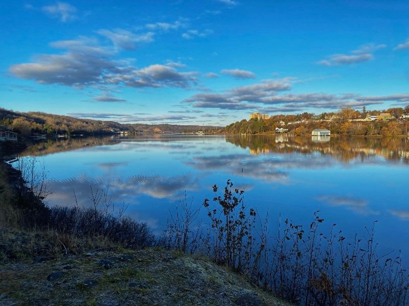
One hundred and ten feet. That’s how far Houghton-Douglass Falls drops into a rugged gorge carved from ancient volcanic rock.
It holds the title of Michigan’s tallest permanent, year-round plunge waterfall. Water tumbles over the cliffs of Hammell Creek, framed by layers of rock formed during the region’s volcanic past.
The scenic site sits near Lake Linden, north of Houghton, along M-26. Its surrounding property covers approximately 70 acres of forest and rocky terrain.
Getting there has become easier lately. A new parking area, vault restroom, and pedestrian bridge over Hammell Creek were completed in 2025.
An accessible path leads from the parking area to the bridge, but the route beyond it remains a rugged, undeveloped footpath. The gorge does not yet have finished observation platforms or protective barriers.
Additional improvements are scheduled for 2027, including a more accessible route toward the waterfall and designated overlooks.
For now, visitors can experience the area while respecting its unfinished conditions. The cliff edges and uneven terrain require particular care.
The falls are especially impressive during spring runoff, when additional water pours into the gorge. Autumn adds brilliant color to the surrounding trees.
Nature Starts Right Inside City Limits
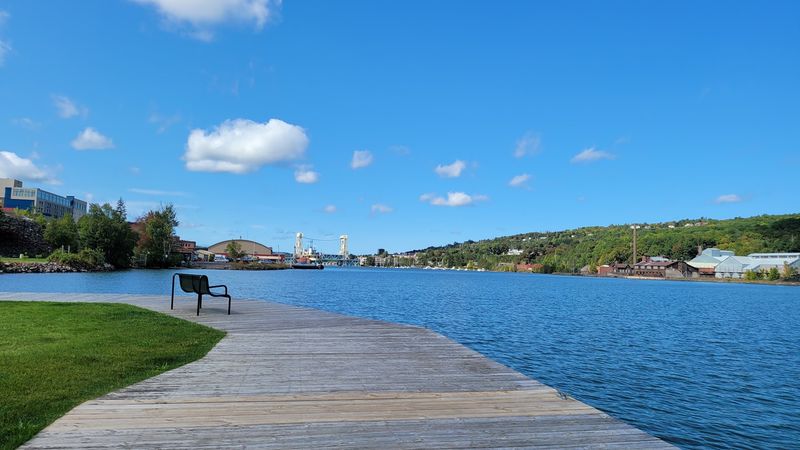
Good news for anyone who wants trees before breakfast. Nara Nature Park sits right inside Houghton, covering 100 acres of forest, river, and quiet space.
The star feature is a 4,500-foot elevated wooden boardwalk along both banks of the Pilgrim River. It lets you stroll through wetlands with easy views of the water.
Fishing platforms, benches, and access points for kayaks and canoes make the river more than a pretty backdrop. Watch for birds along the shoreline or simply enjoy the sound of moving water.
The park’s trails connect with the nearby university trail network, creating access to more than 50 miles of combined routes.
You can hike, run, or bike many of these trails in warmer months. When snow arrives, designated paths welcome cross-country skiers and snowshoers.
This spot works well for travelers who arrive after a long drive. Stretch your legs here before tackling the bigger adventures farther up the peninsula.
It’s also a pleasant choice for families who want outdoor scenery without committing to a full-day mountain excursion.
The park sits near the eastern end of the city’s waterfront trail, making it convenient to combine with other Houghton attractions.
Paddle The Waterway That Splits Two Towns
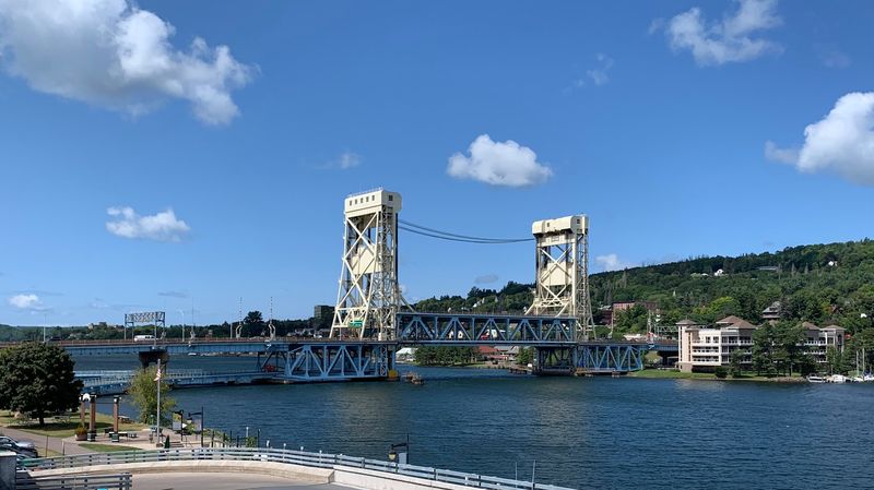
Water runs right through the middle of the story here. The Keweenaw Waterway, also called the Portage Canal, separates Houghton from its neighbor, Hancock.
That makes the canal a defining feature of daily life and a playground for visitors. Kayaking, boating, and fishing all happen right along the shore.
Don’t own a kayak? No problem. Seasonal rentals are available at Ray Kestner Waterfront Park, putting a paddle in your hands without hauling gear from home.
Portage Paddle Sports offers single and tandem kayaks, stand-up paddleboards, and other recreational equipment. The park also features a sandy swimming area and a large wooden playground known as Chutes and Ladders.
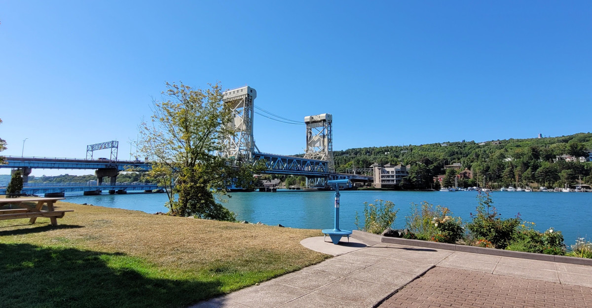
A calm morning paddle offers a different view of town. You’ll see forested hillsides rising on both sides of the channel, with the Portage Lake Lift Bridge towering above the water.
That bridge connects Houghton and Hancock, giving the two communities one of the region’s most recognizable landmarks.
Anglers can try their luck from designated waterfront fishing areas. Check fishing regulations and license requirements before casting.
Sunsets Over Lake Superior Are Ten Miles Away
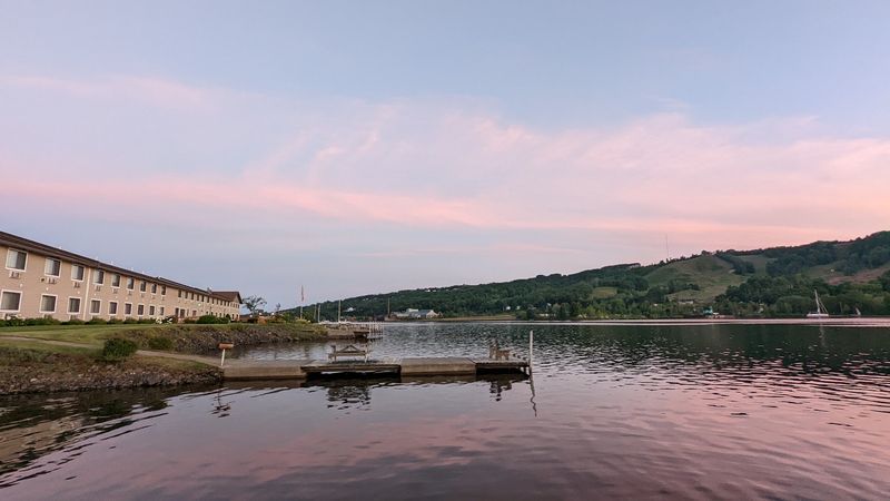
A short drive north of Houghton, the land gives way to big water and bigger sunsets. F.J. McLain State Park covers 443 acres on the Keweenaw Peninsula.
The landscape mixes rugged terrain, woodlands, and gently rolling hills. Its Lake Superior shoreline stretches for approximately two miles, blending rocky sections with sandy beaches.
Evening is the time to show up, because the sunsets over the lake are famous for good reason.
The park also offers views of the Keweenaw Waterway Lighthouse, adding another distinctive feature to the shoreline scenery.
Hikers will find trails to explore through the park. In winter, cross-country skiing and snowshoeing provide ways to enjoy the snowy landscape.
Want to stay overnight? The park offers a modern campground, lakeside mini cabins, and an accessible camper cabin. Some accommodations have outdoor picnic tables and designated cooking areas.
Day visitors can enjoy picnic spaces, a playground, and a beach area, making it an appealing destination for families.
Drive Through A Tunnel Of Trees
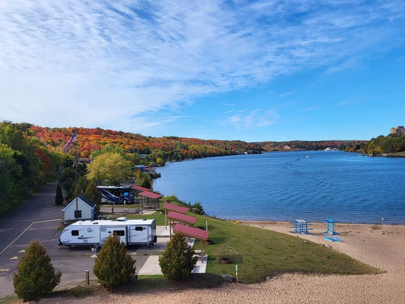
Some roads get you somewhere. The Covered Drive, west of Houghton, makes the trip itself the main event.
This scenic dirt road is known for its tunnel of trees. Branches arch overhead and form a leafy canopy over your car.
In fall, the colors turn bright, and the whole route feels like a painting you can drive through.
The road sits in Stanton Township, off Houghton Canal Road, and runs through a heavily wooded landscape. It’s relatively short, but the dense canopy makes every bend worth appreciating.
The route is narrow, measuring only about one and a half car widths in places. Small pull-offs provide room for vehicles to pass, so a leisurely pace makes sense.
The surrounding roads also lead toward interesting historical landmarks. Continue through the area toward Redridge, where the historic Redridge Dam recalls the peninsula’s copper-mining era.
Lake Superior is another worthwhile addition to a longer drive through the countryside.
Autumn is the headline season here. Still, a shady summer drive has its own charm, with sunlight filtering through the overlapping branches.
Follow The Byway All The Way To Copper Harbor
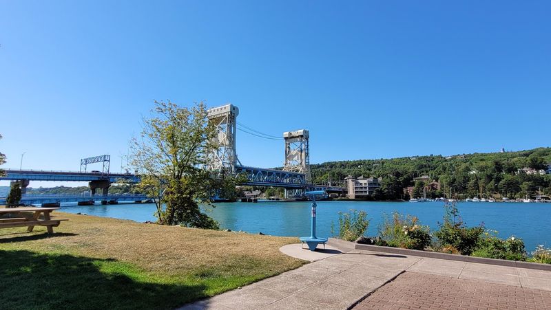
Road trippers, this one has your name on it. The Copper Country Trail National Scenic Byway runs 47 miles along US-41, from Houghton to Copper Harbor.
It carries an official National Scenic Byway designation, which it received in 2005 after becoming a state heritage route in 1994.
The route winds through the Keweenaw’s rugged landscape and connects travelers with historic mining sites and small communities.
Each stop adds a chapter to the region’s copper story.
That history runs deep. The peninsula’s geology includes ancient lava flows and substantial copper deposits. Those formations helped shape the landscape and the communities built around it.
Notable places along the journey include Quincy Mine near Hancock and Fort Wilkins Historic State Park in Copper Harbor.
The byway offers something different throughout the year. Summer brings hiking and paddling, while autumn adds brilliant colors to the surrounding forests.
Winter creates a beautiful snowy landscape, although road conditions require extra attention.
The Highest Road For Miles Comes With Hawks And Northern Lights
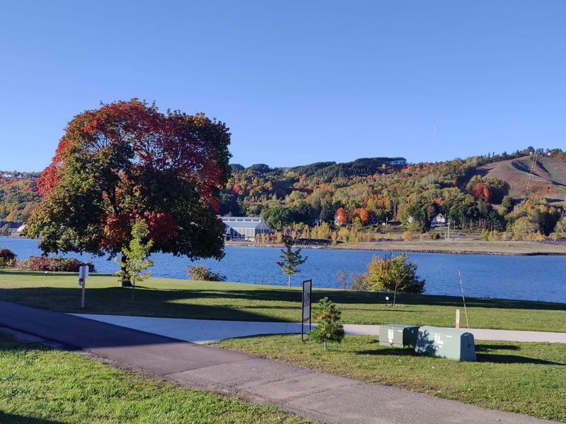
Nine miles of road, and almost all of it is worth a stop. Brockway Mountain Drive runs along a high ridge between the Eagle Harbor area and Copper Harbor on the Keweenaw Peninsula.
It’s known as one of the highest paved scenic roads between the Rockies and the Alleghenies.
That elevation delivers sweeping views of Lake Superior and nearby inland lakes. The highest overlooks rise approximately 1,320 feet above sea level, with the lake far below.
Night owls get a bonus. The drive is a prime place for Northern Lights viewing, with expansive skies away from city lights.
Bring warm layers and a bit of luck, because the aurora keeps its own schedule.
Birders have their own nickname for the area. It’s called Hawk Highway, thanks to the significant spring migration of birds of prey passing overhead.
Binoculars belong in your bag, especially during the annual spring hawk watch.
Brockway Mountain Drive also passes through protected natural areas, with opportunities for hiking and enjoying the surrounding forest.