Long Before Settlers Arrived, People Lived At This Ancient Idaho Village Site Over 15,000 Years Ago
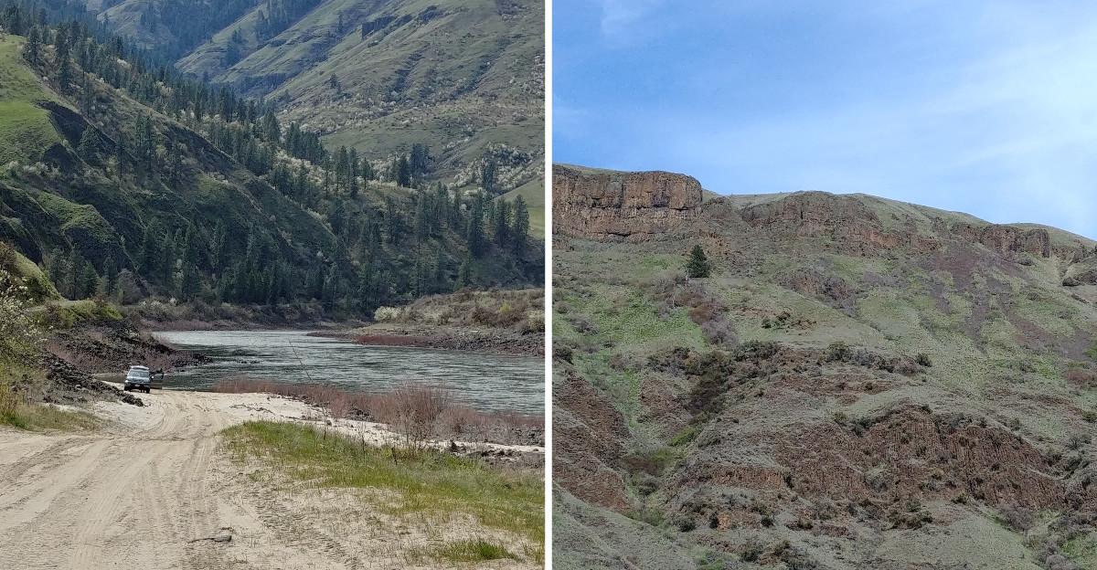
Some of the oldest dated stone points in the Americas came out of a riverbank you can still stand on today.
Radiocarbon dates from this spot run past 15,000 years. A few even top 16,000.
That’s older than the famous Clovis culture. Archaeologists had to rethink the whole story of how people first reached North America.
The Nez Perce never needed convincing. They’ve always known this place as an ancient village, with its own story of a young couple starting fresh after a flood.
I like how a quiet bend in an Idaho canyon holds a story this big. I can’t imagine many places where science and oral history meet so neatly.
So what does it feel like to stand where people stood that long ago?
A Quiet River Bend With A Very Loud Backstory
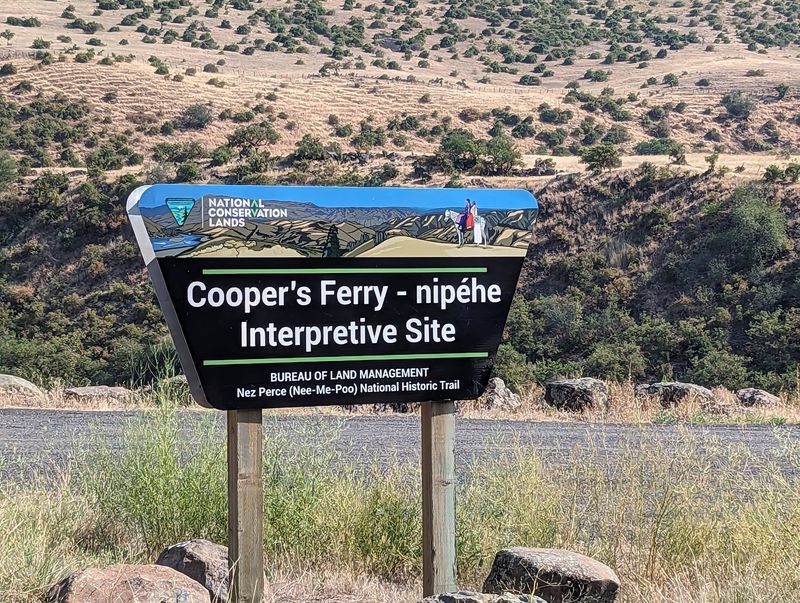
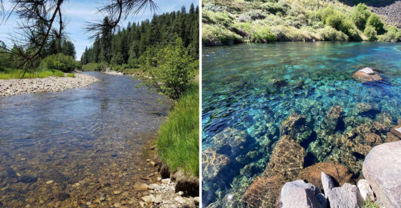
Deep in western Idaho, the lower Salmon River curls past a sandy flat that changed archaeology. The official name is Cooper’s Ferry – Nipéhe Interpretative Site, and it carries two names for good reason.
Cooper’s Ferry comes from a river crossing that operated in the late 1800s and around the turn of the century. Nipéhe is the Nez Perce name for the ancient village that stood here long before any ferry.
The site sits where Rock Creek meets the Salmon River. It’s roughly 11 miles south of Cottonwood, out on the edge of the Camas Prairie country.
The U.S. Bureau of Land Management manages the land.
For years, it has served as an outdoor classroom for archaeologists and students digging through layers of riverbank soil.
What they pulled from those layers turned heads around the world. Stone tools, charcoal, and animal bones here date back more than 15,000 years.
That makes this one of the oldest known human sites in the Americas. Not bad for a stretch of canyon most drivers never notice.
Idaho rarely makes international science headlines. This spot did, and it earned every one of them.
The Theory That Couldn’t Survive This Riverbank
For decades, textbooks told one tidy story. The Clovis people, appearing around 13,000 years ago, were supposedly the first widespread culture in North America.
The idea went like this. Early people crossed a land bridge from Asia, then walked south through an ice-free corridor between massive glaciers.
Cooper’s Ferry poked a big hole in that plan. Radiocarbon dating of artifacts, bones, and charcoal placed people here between about 15,000 and 16,000 years ago.
Some dates reach around 16,560 years. That’s well before the interior ice-free corridor was even open for travel.
So how did people get to Idaho that early? They clearly didn’t wait for the glaciers to clear a path.
Scientists still debate every detail of early migration. Still, this site gave the pre-Clovis argument some of its strongest evidence.
I love that the proof came from a calm Salmon River flat. No dramatic cave, no famous landmark, just patient digging in canyon dirt.
Science moves slowly until it suddenly doesn’t. Here, one riverbank pushed the human story back by thousands of years, and the textbooks had to catch up.
Boats, Coastlines, And The First Off-Ramp Inland
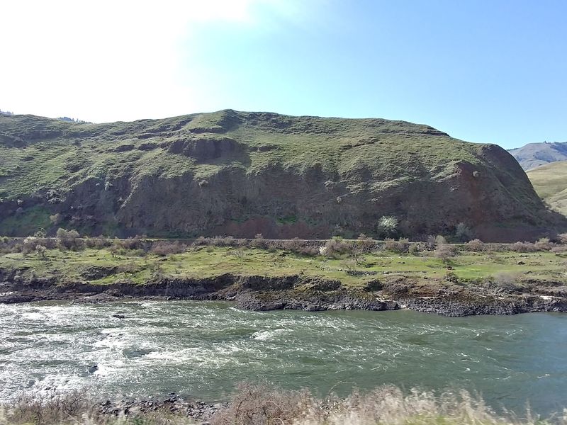
Here’s a fun twist. The earliest Idahoans may have arrived by boat.
The age of the Cooper’s Ferry finds supports the Pacific coastal migration idea. In that theory, early travelers moved down the Pacific coast rather than through the continent’s frozen interior.
Along the way, they would have reached the Columbia River below the glaciers. Archaeologists describe that river as a possible first off-ramp from the coastal route.
From the Columbia, rivers lead inland. Follow them far enough, and you reach the Snake and Salmon River country of western Idaho.
The location of this site fits that story neatly. It sits right where river travelers could have ended up after turning away from the ocean.
Think about the skill that required. Reading currents, finding food, and pushing into unknown canyons with no map at all.
Nobody can say exactly which route each group took. The evidence here simply makes the coastal path harder to dismiss.
It also flips a familiar picture. Instead of hikers trudging across ice, the first arrivals may have been skilled navigators paddling toward a canyon they’d soon call home.
Stone Points With A Surprising Pacific Cousin
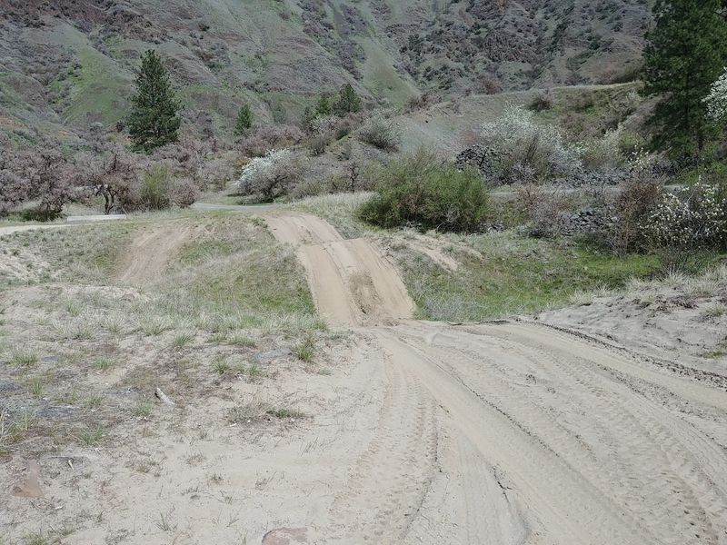
Stemmed points, blades, cores, flake tools, and hammerstones all came out of the ground here. Each one tells a small piece of how these early people lived and hunted.
The projectile points get the most attention. They’re among the oldest radiocarbon-dated points found anywhere in the Americas.
Archaeologists noticed something unexpected about their shape. The points closely resemble Late Upper Paleolithic tools from Japan, made before the Jomon period.
That similarity supports a possible cultural link across the Pacific. It strengthens the idea that the first Americans came from northeast Asia.
Picture a toolmaker in canyon country shaping stone in a style with roots across an ocean. That’s a long family tree for a spear tip.
The craftsmanship matters too. These weren’t rough, hurried objects but carefully worked tools that show real planning and skill.
Hammerstones and cores reveal the process behind them. You can almost trace the steps from raw rock to finished point.
Stone doesn’t talk, yet these pieces say plenty. They hint at people who understood their materials and brought knowledge from very far away.
Hearths, Horse Bones, And A Riverside Kitchen
Tools tell you what people made. Hearths and leftovers tell you how they actually lived.
Excavations at Cooper’s Ferry uncovered fire hearths and pits. Researchers also found animal remains, including bones from extinct horses.
Freshwater river mussels turned up as well. Apparently, the Salmon River served as both highway and grocery store.
Archaeologists describe part of the site as a food processing station. The evidence shows these early people hunted and ate large mammals.
That picture feels surprisingly familiar. People gathered around fires, prepared food, and made the most of what the canyon offered.
Charcoal from those hearths also helped date the site. Every old cooking fire became a tiny clock for modern scientists.
I find that detail oddly comforting. Thousands of years later, a meal by the river still connects us to these first residents.
The well-layered deposits kept these clues in order. That helps researchers piece together daily routines during the late Ice Age.
It’s not fancy, but it’s human. Somebody cooked dinner here, and the leftovers rewrote history.
Nipéhe Lives On In Nez Perce Memory
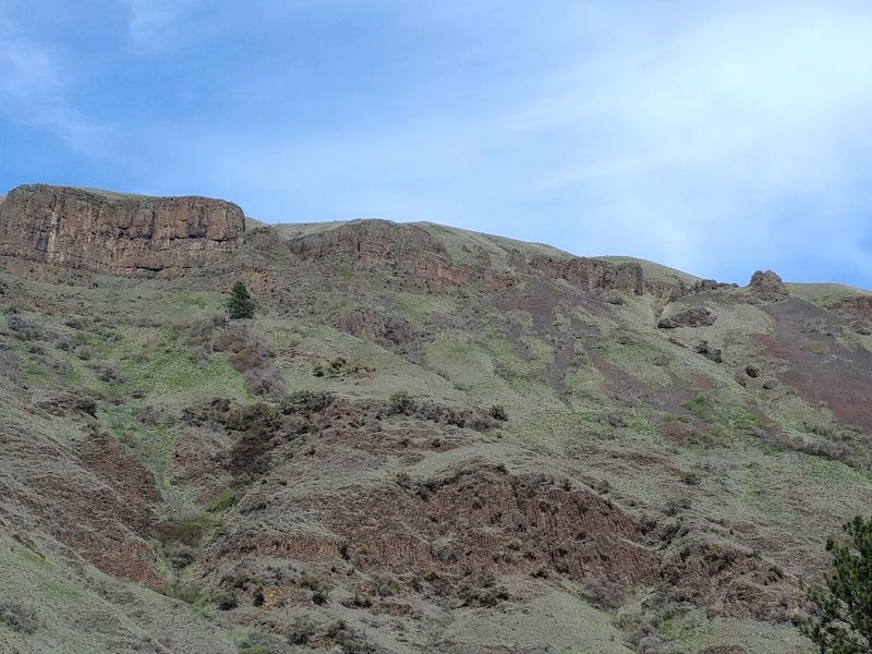
Long before radiocarbon labs, the Niimíipuu already knew this place mattered. To the Nez Perce people, it is Nipéhe, an ancient village.
Their oral tradition describes Nipéhe as a village founded by a young couple after a flood. That story has passed down through generations.
Science and tradition point in the same direction here. Both describe deep, lasting roots along this stretch of the Salmon River.
The Nez Perce Tribe has taken part in the excavations. That partnership links modern research with ancestral knowledge in a meaningful way.
The site now stands as an interpretive spot that honors Nimiipuu land. Using both names reminds visitors whose homeland this has always been.
I believe that’s the most moving part of the whole place. The story isn’t just about ancient strangers but about a living people.
Visiting with that in mind changes the trip. You’re standing on a homeland, not just a dig site.
Treat it with care and respect. A place remembered this long deserves nothing less from anyone passing through.
Sandy Campsites Where You Can Linger Two Weeks
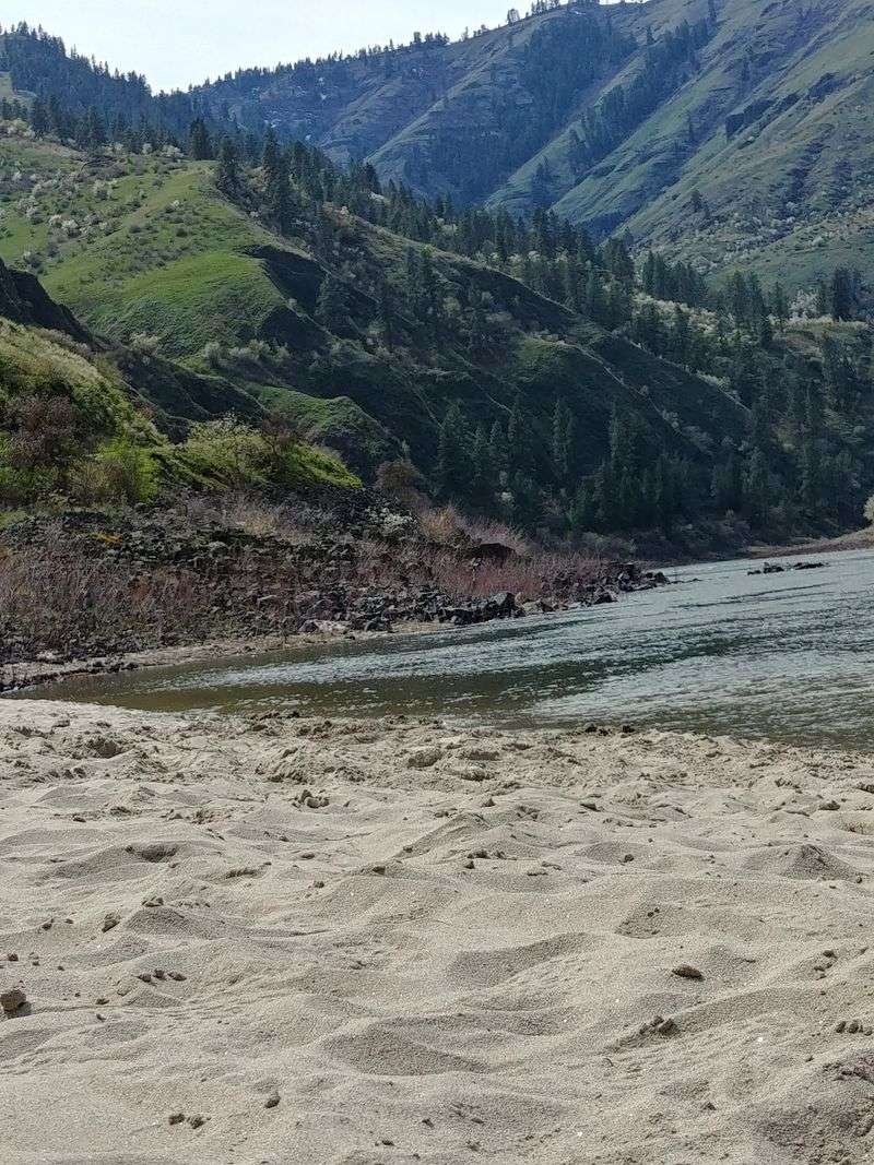
Plenty of historic sites close at five. This one lets you pitch a tent.
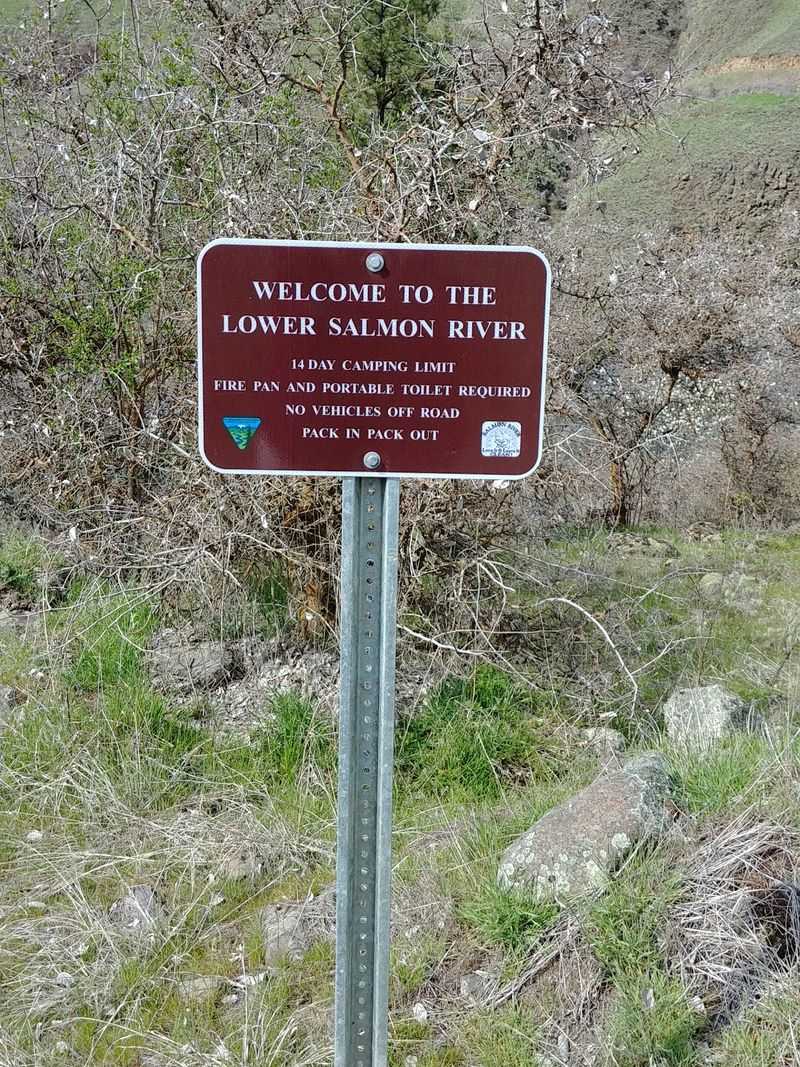
Primitive camping is available along the river here. Stays of up to 14 consecutive days have been allowed, though rules can change, so check with the BLM first.
The sandy ground makes a soft spot for a tent. Well-kept campsites and vault toilets are part of the setup today.
Don’t expect hookups. There’s no electricity and no dump station, so plan to be fully self-sufficient.
Pack it in and pack it out applies here. Leave footprints, not trash, especially on ground this significant.
Kids and pets can come along. Just keep an eye on both near the moving river water.
Camping overnight gives the place time to sink in. Evening light on the canyon walls sets the mood better than any museum.
It’s also a rare chance to sleep where people gathered over 15,000 years ago. That’s a campfire story you won’t need to exaggerate.
Bring patience, water, and a sense of respect. The rest comes with the river.
Getting There Down Graves Creek Road
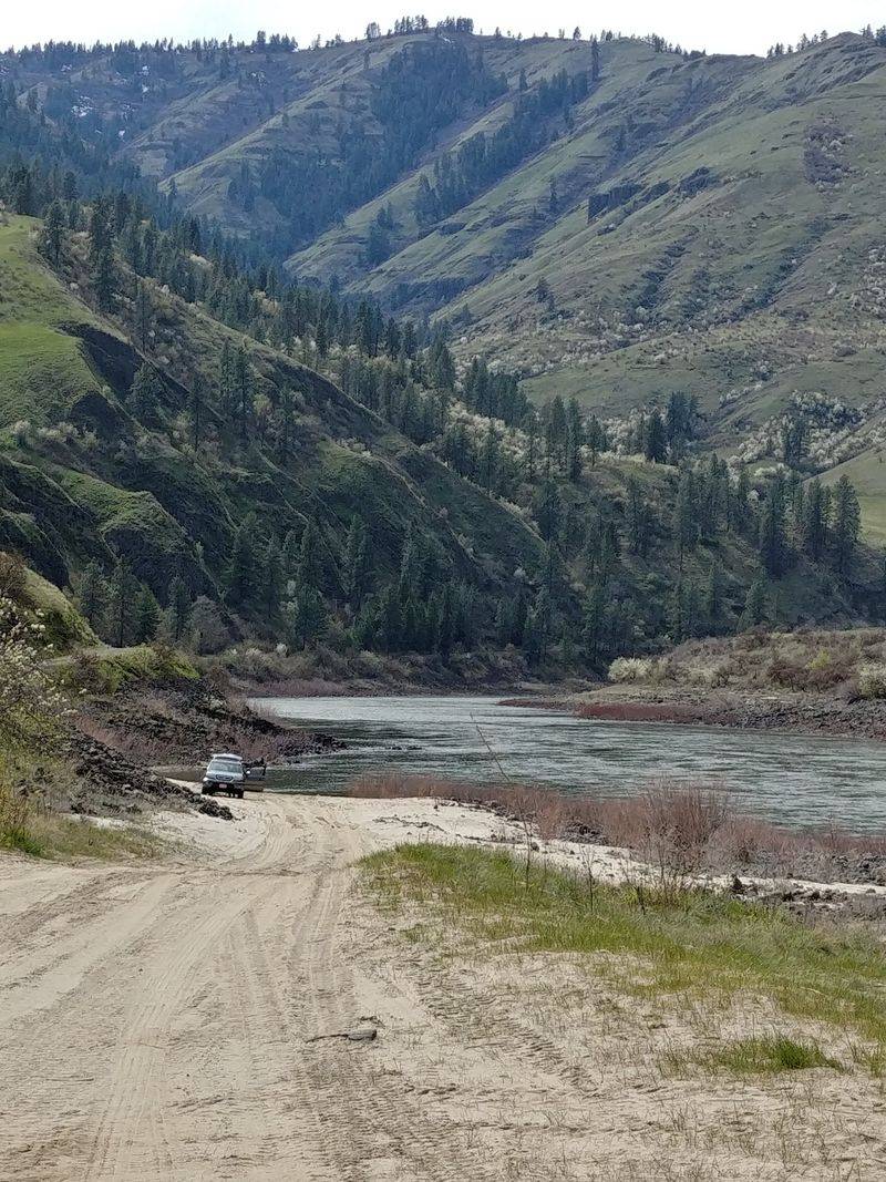
Cottonwood is your starting point. From there, the route heads south toward the river and Rock Creek confluence.
The address is Graves Creek Rd, Cottonwood, ID 83522. Plug in that road and the site lies roughly 11 miles south of town.
The site is listed as open 24 hours. Still, conditions on remote roads vary, so check with the BLM before driving.
Gas up and grab supplies in town first. You won’t find stores waiting along the canyon.
Cell service can be spotty in deep canyons. Download maps ahead of time so you’re not guessing at turns.
The drive itself is part of the payoff. You drop from prairie farmland into rugged Salmon River country.
Public tours have been offered in past years. Fieldwork schedules shift, so confirm current options before planning around one.
No fancy visitor center greets you here. It’s simple signage, open land, and a whole lot of history underfoot.
Honestly, that suits the place. The site doesn’t need a gift shop to impress anyone.