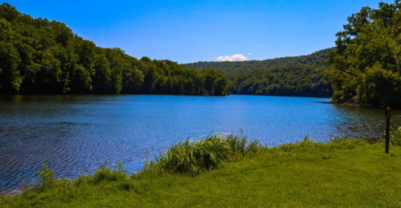
10 Bucket-List Hikes In Connecticut With Scenic Views And No Permit Needed
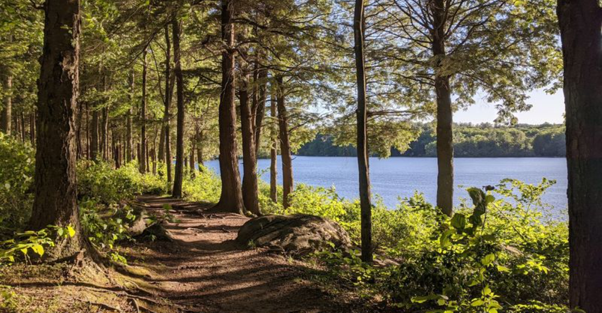
Boots on, snacks packed, and absolutely no paperwork standing between you and the trail. Connecticut makes this kind of hiking day wonderfully easy.
These routes deliver the sort of views that make a sweaty climb feel completely justified. You might round a bend and suddenly get that big, open payoff you were hoping for.
That is where the adventure really kicks in.
No permit means less planning and more room for a spontaneous escape. Pick a trail, check the weather, and let your legs handle the rest.
The scenery can make even a short hike feel like a proper outing. Rocky overlooks and quiet stretches of woods give the day plenty of personality.
Just do not be surprised if one trail turns into a running list of places you want to tackle next.
A bucket list has to start somewhere, and these hikes make a pretty convincing case for starting with your hiking shoes.
1. Cobble Mountain Trail, Kent
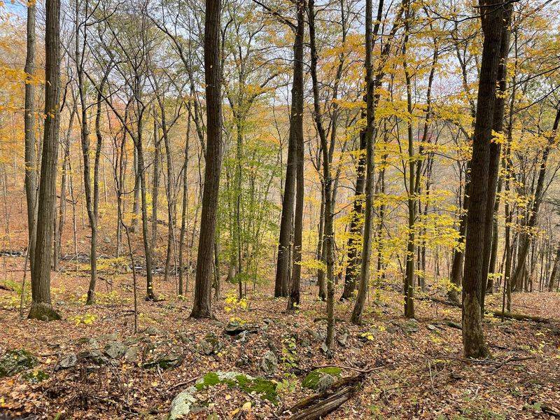
A hike through these wooded hills quickly trades easy forest walking for the kind of rocky terrain that makes the outing feel more adventurous.
Macedonia Brook State Park covers about 2,300 acres, with more than 10 miles of trails crossing ridges and climbing toward some of the park’s best viewpoints.
One popular route heads toward Cobble Mountain, where the climb becomes steeper and the footing noticeably rougher. Rocks and exposed roots require extra attention, particularly after rain.
The reward comes higher up, where openings reveal broad views toward the Taconic and Catskill ranges. Fall turns those ridgelines especially colorful, while spring brings fresh growth across the forest.
The park entrance is at 159 Macedonia Brook Road in Kent, with parking available about a mile beyond the main approach.
The Cobble Mountain outing is closer to three miles round trip, rather than 2.5, and includes roughly 630 feet of climbing, so describing it as simply moderate understates some sections.
No day-hiking reservation is listed as necessary. Sturdy footwear is a smart choice, since the rocky trail can become slippery when wet.
2. Tower Trail At Sleeping Giant State Park, Hamden
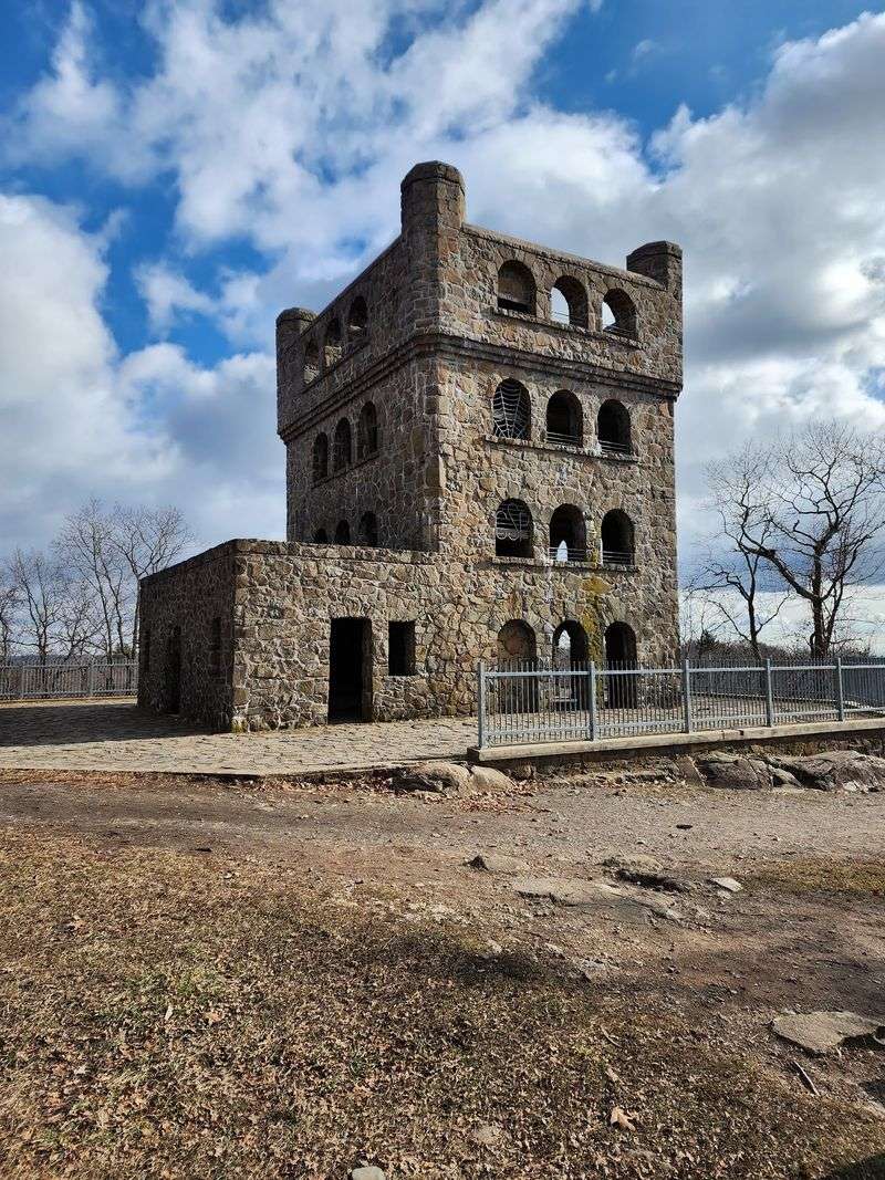
Legend gave the ridge its name, since the mountain profile looks like a giant stretched out for a nap. The main entrance to Sleeping Giant State Park sits at 200 Mount Carmel Ave, Hamden, CT 06518, where the Tower Trail begins.
Wide and well graded, the path suits strollers with sturdy wheels, older walkers, and kids who need frequent breaks.
Distance to the stone tower runs about 1.5 miles one way, making a round trip near 3 miles. Most people reach the top in around an hour, with switchbacks easing the elevation gain considerably.
Hardwood trees line much of the route, and sunlight breaks through the canopy in shifting patches across the gravel. Benches and flat spots appear along the way for water stops.
The four-level stone tower at the summit was built in the 1930s, and its interior ramps and stairs lead to an open deck. Clear days bring views across the valley toward Long Island Sound.
Weekend mornings fill the lot fast, so arriving early helps. Hiking requires no permit, and hours run sunrise to sunset.
3. Tower Trail At Talcott Mountain State Park, Simsbury
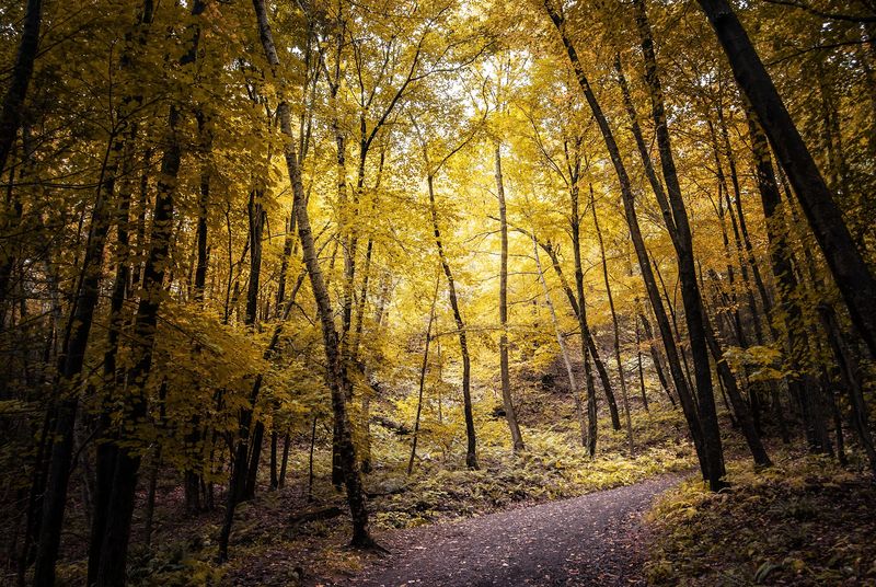
The reward starts appearing before you ever reach the summit. After an initial climb through the woods, the trail levels along Talcott Mountain’s ridge, where openings reveal increasingly wide views across the Farmington River Valley.
The state rates the route as moderate, making it approachable without stripping away the feeling of a proper climb.
Heublein Tower provides the memorable finish. Built in 1914 as Gilbert Heublein’s summer home, the 165-foot landmark rises about 1,000 feet above the valley and includes an observation level with panoramic scenery.
Trail access and parking are off Summit Ridge Drive in Simsbury. The walk covers 1.25 miles each way, creating a 2.5-mile round trip, and the uphill portion generally takes about 30 to 40 minutes.
The park opens daily from 8 AM until sunset. In 2026, the tower welcomes visitors Friday through Monday from 10 AM to 4 PM between May 22 and November 2.
Even outside those dates, hikers can still reach the summit and enjoy the surrounding views.
4. Bluff Point Loop, Groton
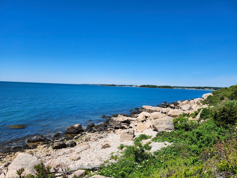
Salt air replaces forest quiet partway through this loop, and the change catches people by surprise every time. Entry to Bluff Point State Park and Coastal Reserve is at 55 Depot Rd, Groton, CT 06340, leading straight to a large gravel lot and the trailhead.
The reserve protects one of the last undeveloped stretches of coastline in the state.
Flat and wide for most of its length, the roughly 3.6-mile loop works well for casual walkers and families. Wooded sections stay shaded and cool before the path breaks out along the shoreline.
Waves against stone, gulls overhead, and the crunch of sand underfoot give the second half a different rhythm. Boats drift across the Sound, and osprey platforms stand out against open sky.
Birdwatching runs strong during spring and fall migration, so binoculars earn their weight. Exposed stretches get hot and bright in July, making early morning a smarter choice.
Resident vehicles park at no charge, while non-resident fees may apply seasonally. Hours are 8 a.m. to sunset, and no permit is needed.
5. Haystack Tower Loop Trail, Norfolk
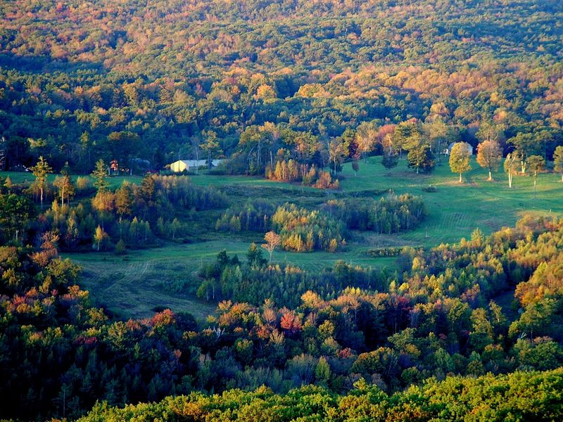
Short walk, big payoff, and that combination makes this Norfolk summit a favorite for leaf-peeping season.
Trail access sits along Haystack Mountain Rd, Norfolk, CT 06058, inside Haystack Mountain State Park. Parking is available at the base, and the entrance road may close in winter months.
The loop moves through healthy northern hardwood forest that feels especially lush in late spring. Tread stays wide and firm, with a consistent but manageable incline toward the top.
From the upper lot, the summit lies roughly 0.7 miles one way, putting the loop near 1.4 miles total. Thirty to forty-five minutes usually covers the climb with time to look around.
The 34-foot stone tower at the top dates to 1929, and a spiral staircase leads to an open deck. Views run a full 360 degrees across the Litchfield Hills, with parts of Massachusetts, Vermont, and New York visible when the air is clear.
Grassy space near the tower suits a snack break. Hiking here needs no permit, and hours run 8 a.m. to sunset.
6. Mohegan Trail At Bolton Notch State Park, Bolton
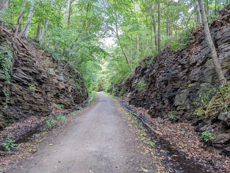
Rocky ledges quickly make this compact park feel more rugged than its 95 acres suggest. The 1.7-mile Mohegan Trail loops through forest before climbing toward bluff-top viewpoints, where distant ridges appear beyond the trees.
The terrain changes often enough to keep the short hike interesting. Dirt paths give way to exposed stone, while caves and steep rock faces add character without requiring a long day on the trail.
The park also connects directly with the Hop River State Park Trail, a former railroad corridor that now stretches for more than 20 miles.
Access is near the junction of Routes 44 and 6 in Bolton, with free parking available for visitors. The park’s wooded setting feels especially striking in autumn, when bright foliage contrasts with the gray ledges.
Short climbs and elevation changes give the route a varied rhythm, while shaded stretches offer a break between the rockier sections. It works well for hikers who want a compact outing with scenery and terrain changes to feel rewarding without committing to a longer route.
No parking fee is charged, and the trail network includes both easy and moderate sections. The park closes at sunset, making daylight hours the safest window for exploring.
7. Black Rock Trail, Watertown
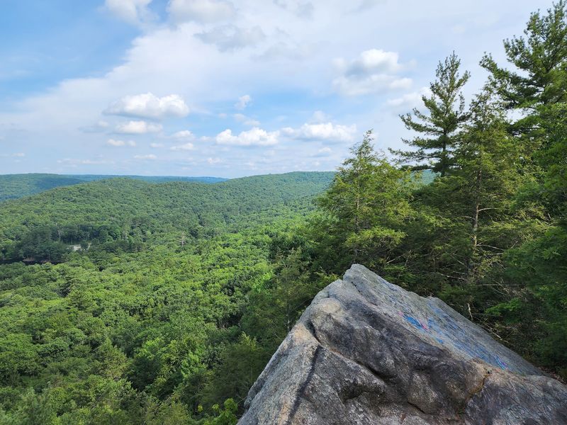
Dark outcrops scattered through the woods gave the park its blunt, memorable name.
A primary entrance for Black Rock State Park is located at 2065 Thomaston Rd, Watertown, CT 06795, leading to lots near the pond and trail junctions. Connections here tie into the longer Mattatuck Trail system.
Variety defines the hiking, with soft forest paths giving way to steeper, rock-strewn climbs. Depending on which loops get linked, walks land somewhere between 2 and 4 miles.
Mature trees shade much of the route, and light filtering through the canopy keeps the temperature pleasant on warm days. Effort ranges from moderate to strenuous, so pacing matters on the uphill sections.
Higher ledges frame rolling hills and forested valleys, with the clearest sightlines arriving after leaves drop. Chipmunks, hawks, and the occasional deer show up along quieter stretches.
A swimming area near the pond makes summer visits appealing for families, though the lot fills on hot afternoons. Resident vehicles park free while non-residents may pay a fee.
Hours are 8 a.m. to sunset, no permit required.
8. Burr Pond Loop Trail, Torrington
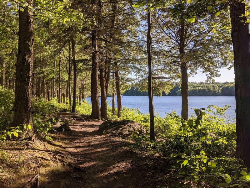
Water stays close for nearly the entire walk, making this an easy choice when you want scenery without a demanding climb. The Walcott Trail circles Burr Pond for 2.5 miles, following a mostly flat route with a short spur that reaches a point overlooking the water.
Rock crossings add a little variety, but the state rates the hike easy to moderate and describes it as family-friendly. Forest shade covers much of the path, while shoreline openings create natural places to stop and take in the pond.
After rain, roots and damp ground can make sturdy footwear useful. The loop connects with longer trails beyond Burr Pond.
The park’s history also reaches back to the 1850s, when Gail Borden built the world’s first condensed milk factory beside the pond. A marker now identifies the former factory site.
Main access is at 384 Burr Mountain Road in Torrington. The park opens daily at 8 AM and closes at sunset.
In-state registered vehicles park free, while out-of-state vehicles pay $10 on weekdays or $15 on weekends and holidays. No hiking permit is required.
9. Metacomet Trail At Penwood State Park, Bloomfield
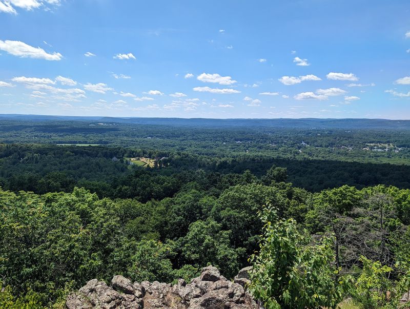
A slice of one of New England’s classic long-distance routes runs quietly through this Bloomfield park, and it stays refreshingly uncrowded.
Penwood State Park is entered at 560 Simsbury Rd, Bloomfield, CT 06002, with parking near the start of the interior road and trail links. The land was donated to the state in the 1940s by a local businessman who wanted it kept open to the public.
That history helped preserve one of central Connecticut’s quieter ridge walks.
Along this segment, the blue-blazed Metacomet Trail mixes level walking with gradual climbs onto the basalt ridge. Difficulty sits in the moderate range and suits hikers with reasonable fitness.
Mature forest shades most of the corridor, muffling road noise and giving the ridge a settled, calm feel. Loop options let visitors choose a short outing or a longer push north.
Openings on higher ground frame the Farmington River Valley with the Litchfield Hills fading blue in the distance. Late October brings the strongest color across the slopes below.
No permit is needed, and the park runs 8 a.m. to sunset year-round.
10. Chauncey Peak And Lamentation Mountain Loop, Meriden
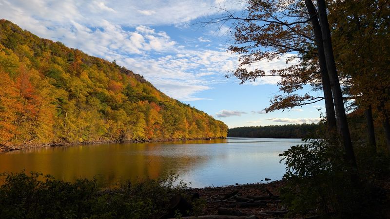
A steep traprock ridge and sparkling reservoir make this Meriden hike a strong addition to a scenic bucket list. The New England Trail identifies a 3.7-mile loop through Giuffrida Park that crosses both Chauncey Peak and Lamentation Mountain, with several overlooks along the way.
The outing begins at Giuffrida Park, at 800 Westfield Road, Meriden, CT 06450, an address confirmed by the City of Meriden. From there, hikers can follow sections of the blue-blazed Mattabesett Trail, part of the 220-mile New England National Scenic Trail.
Expect more climbing than the lakeside setting initially suggests. The route makes a steep ascent toward 688-foot Chauncey Peak before reaching rocky ridges overlooking Crescent Lake and the distant Hanging Hills.
Continuing toward Lamentation Mountain adds more elevated viewpoints, while lower portions pass beside the water and through wooded terrain. Changing elevations also keep the scenery varied, so the hike rarely feels repetitive even when the mileage remains fairly manageable.
The City of Meriden describes Giuffrida Park as a public hiking destination, and its official park information lists no hiking permit or admission requirement. Rocky footing and sharp elevation changes make sturdy shoes worthwhile, especially after wet weather.
Fall foliage can make the open ridges particularly striking, while leafless seasons bring wider sightlines through surrounding trees.