These 8 Incredible Hikes Are Within 30 Minutes Of Downtown Boone North Carolina And Deserve More Attention
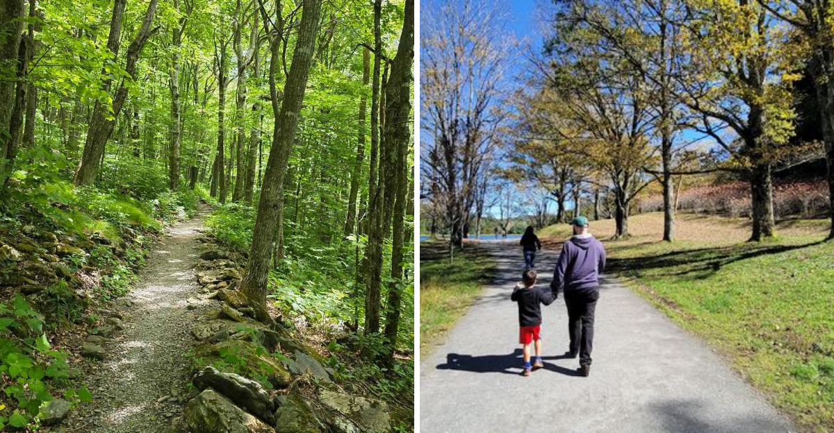
My favorite thing about hiking near Boone is how quickly the day can change.
Breakfast can still be sitting heavy when I am already under a canopy of trees with downtown fading behind me. Less than half an hour later, the road noise is gone and the Blue Ridge starts doing what it does best: making every ordinary plan feel wildly underdressed.
North Carolina gives this part of the mountains an unfair advantage.
I have taken trails here expecting a pleasant walk and ended up stopping far more often than necessary because the view kept demanding attention. Some routes ease into the scenery.
Others make the legs work for every payoff.
Either way, I never feel like I have driven very far to reach something memorable. That is what makes these eight hikes such a good surprise.
You can spend the morning on the trail and still be back in town before the day feels half over.
Of course, that assumes you do not find a rock with a perfect view and suddenly decide lunch can wait.
That has happened. More than once. And honestly, I have never regretted it.
8. Boone Greenway Trail, Boone
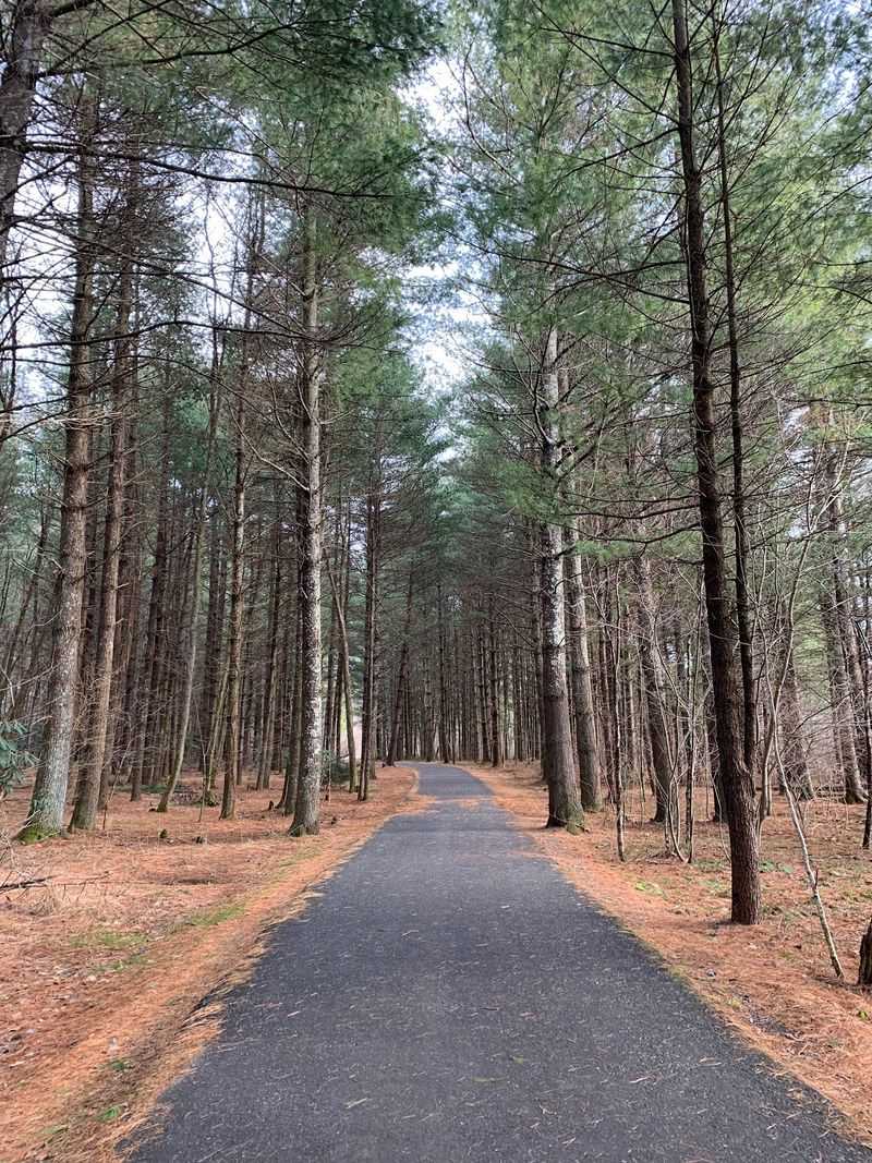
You barely have to leave Boone before the scenery starts changing. The Boone Greenway threads through town beside streams, wetlands, athletic fields, wooded sections, and the headwaters of the New River.
Clawson-Burnley Park at 355 Martin Luther King Jr. Street provides one of the easiest access points. Several other trailheads let walkers build a route that suits their schedule.
The system mixes paved, gravel, and natural-surface sections rather than functioning as one simple out-and-back hike. That makes mileage flexible.
A short stroll can stay near the park, while a longer outing can continue toward State Farm Road, Deerfield Road, and other connected stretches.
Interpretive signs around Clawson-Burnley explain the riverside environment, and the park’s constructed wetlands filter runoff before water reaches the South Fork of the New River.
Birding is another good reason to slow down here. The combination of water, woods, and open edges creates useful habitat close to town.
Historic dam remains also appear along the larger greenway system. Nothing about this trail requires a dramatic summit reveal.
Its appeal comes from discovering how much green space Boone has managed to fit into an area surrounded by everyday town life.
7. Glen Burney Trail, Blowing Rock
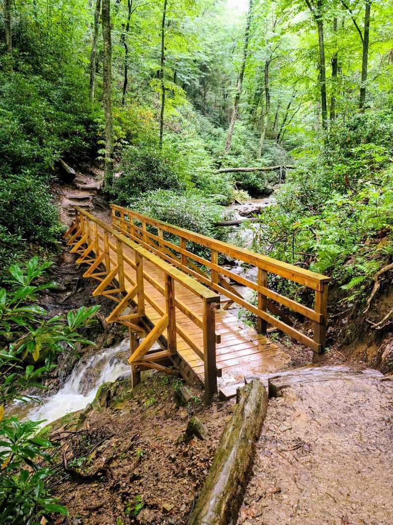
Water starts doing most of the talking once the Glen Burney Trail drops below Blowing Rock. The route begins near Annie Cannon Gardens on Laurel Lane, only a short walk from the town’s busy center.
From there, the trail descends roughly 800 feet toward the Johns River Gorge while following New Year’s Creek. Three waterfall areas appear along the journey.
The Cascades comes first, followed by Glen Burney Falls and Glen Marie Falls farther down. The full out-and-back hike is about 2.4 miles, but that number can be misleading if you judge difficulty by mileage alone.
Going down means you eventually have to regain everything you lost. The return climb is steep enough for local tourism officials to rate the trail moderately strenuous.
Roots, rocks, damp ground, and uneven footing add another reason to wear sturdy shoes. Forest and rushing water keep the route visually busy even between the falls.
Moss and dense vegetation give parts of the gorge a shaded feel that contrasts sharply with the streets above. You can begin near downtown Blowing Rock and, surprisingly quickly, find yourself concentrating on waterfalls instead of storefronts.
6. Bass Lake Carriage Trail, Blowing Rock
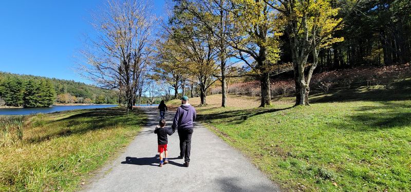
No steep summit is required to understand why Moses H. Cone Memorial Park remains one of the loveliest places to walk near Boone.
Bass Lake offers the easier side of the estate’s trail system, with a broad gravel carriage road making a roughly one-mile circuit around the water. The route is gentle enough for a relaxed outing rather than a workout.
That leaves plenty of attention for the landscape. Bass Lake sits below Flat Top Manor, and views across the water reveal the estate’s rolling terrain and surrounding mountain greenery.
Moses and Bertha Cone developed the property beginning in the late 1800s. Today, about 25 miles of their historic carriage roads remain available for walking and other permitted recreation.
Those roads were intentionally laid out with gentle curves, making them noticeably different from the steep footpaths found elsewhere in the High Country. Bass Lake is the easiest introduction to that network.
Benches and open views encourage pauses instead of constant forward motion. Horses and runners may share portions of the carriage-road system, so hikers should stay aware of other users.
Come here when you want scenery without spending the rest of the afternoon wondering why you chose a mountain climb.
5. Flat Top Mountain Carriage Trail, Blowing Rock
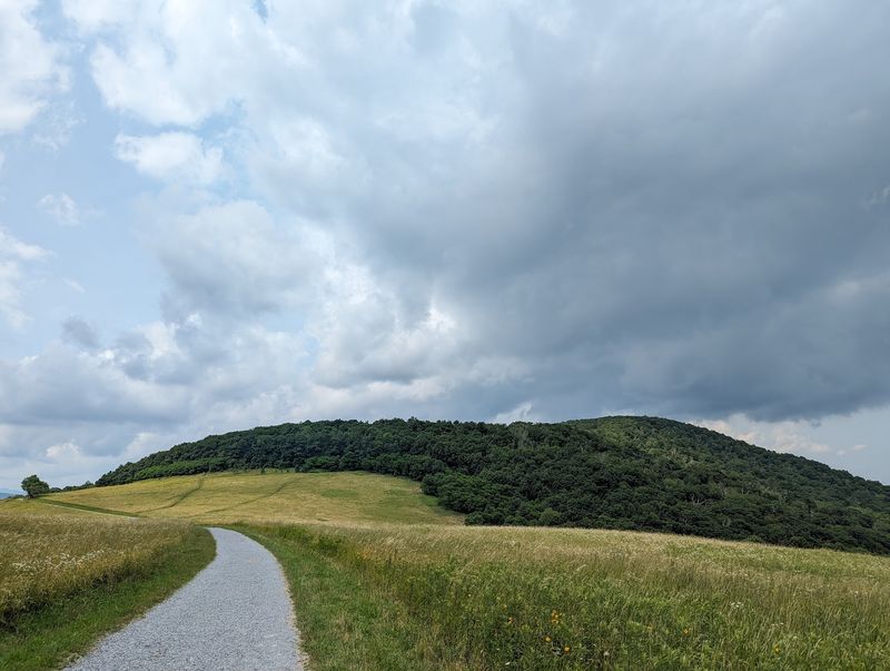
Saving the biggest Moses Cone walk for a day with more energy opens up a completely different side of the estate. The route toward Flat Top Tower follows the historic carriage-road network from the vicinity of Flat Top Manor at Blue Ridge Parkway Milepost 294.
Instead of circling a lake, hikers gradually climb through forests, former orchard country, open areas, and long curves designed for horse-drawn carriages.
A round trip to the tower is commonly treated as a little over five miles, depending on the exact route and starting point.
The grade is generally more forgiving than a narrow mountain footpath, but the steady distance still adds up. Cone Cemetery provides another point of interest along the way.
Keep climbing and Flat Top Tower becomes the destination, with broad mountain views opening from the summit area. The National Park Service specifically highlights the panorama from the tower as one of the carriage-road system’s rewards.
This is also a multi-use trail network. Horseback riders, runners, and other walkers may be sharing the road.
That wider path gives the hike a different rhythm from root-covered backcountry trails nearby. You gain elevation gradually, watch the views improve, and let a century-old estate road do most of the route-finding for you.
4. Price Lake Trail, Julian Price Memorial Park
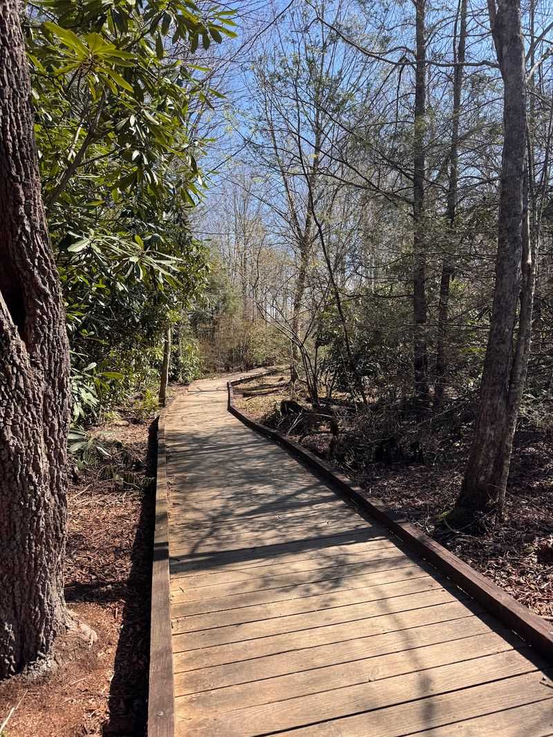
Forty-seven acres of mountain water sit at the center of this hike, so getting lost in the scenery is easier than getting bored. Price Lake Trail makes a 2.7-mile loop around its namesake lake in Julian Price Memorial Park.
The National Park Service currently rates the route moderate rather than easy, an important distinction for anyone expecting a completely flat shoreline stroll. Much of the path stays close to the water, but roots, damp stretches, uneven ground, and wooded terrain can slow the pace.
The reward is constant variety around a relatively short loop. One section may pass through shaded forest while another opens toward the lake and surrounding ridges.
A portion of the trail beginning near the boat-rental dock is also designated as a TRACK Trail. That shorter family-oriented section extends about one mile before reaching the beaver dam overlook.
Canoes and kayaks often add movement to the water during the warmer season, and fishing is permitted under applicable regulations. The lake itself remains the main attraction.
Reflections, changing weather, and seasonal foliage can make the same loop look different from one visit to the next. It is close enough to Boone for an easy half-day plan but scenic enough that rushing the circuit feels completely unnecessary.
3. Boone Fork Trail, Julian Price Memorial Park
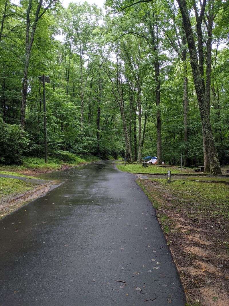
Expect the ground beneath your boots to keep changing on Boone Fork Trail. This 5.5-mile loop moves through several environments inside Julian Price Memorial Park, including meadows, rhododendron-filled woods, streamside sections, pastures, and rocky terrain.
The National Park Service rates it moderate to strenuous and recommends allowing at least three hours of daylight for the full loop. That warning makes sense once the route leaves its gentler opening stretches.
Rocks, roots, creek crossings, and uneven sections demand more attention than the mileage suggests. Boone Fork itself remains close for portions of the hike, bringing moving water into the soundtrack.
Wood ducks are sometimes seen along the creek, according to the Park Service. Hebron Falls can also be reached from this general trail system, although visitors should use care around slick boulders and moving water.
Families who do not want the whole loop have another option. The first 0.7 mile from the Price Park Picnic Area forms a TRACK Trail that ends at a rock overhang before returning the same way.
Completing the full Boone Fork loop is a different proposition. It asks for more time and steadier footing, then pays that effort back with one of the most varied hiking experiences near Boone.
2. Elk Knob Summit Trail, Elk Knob State Park
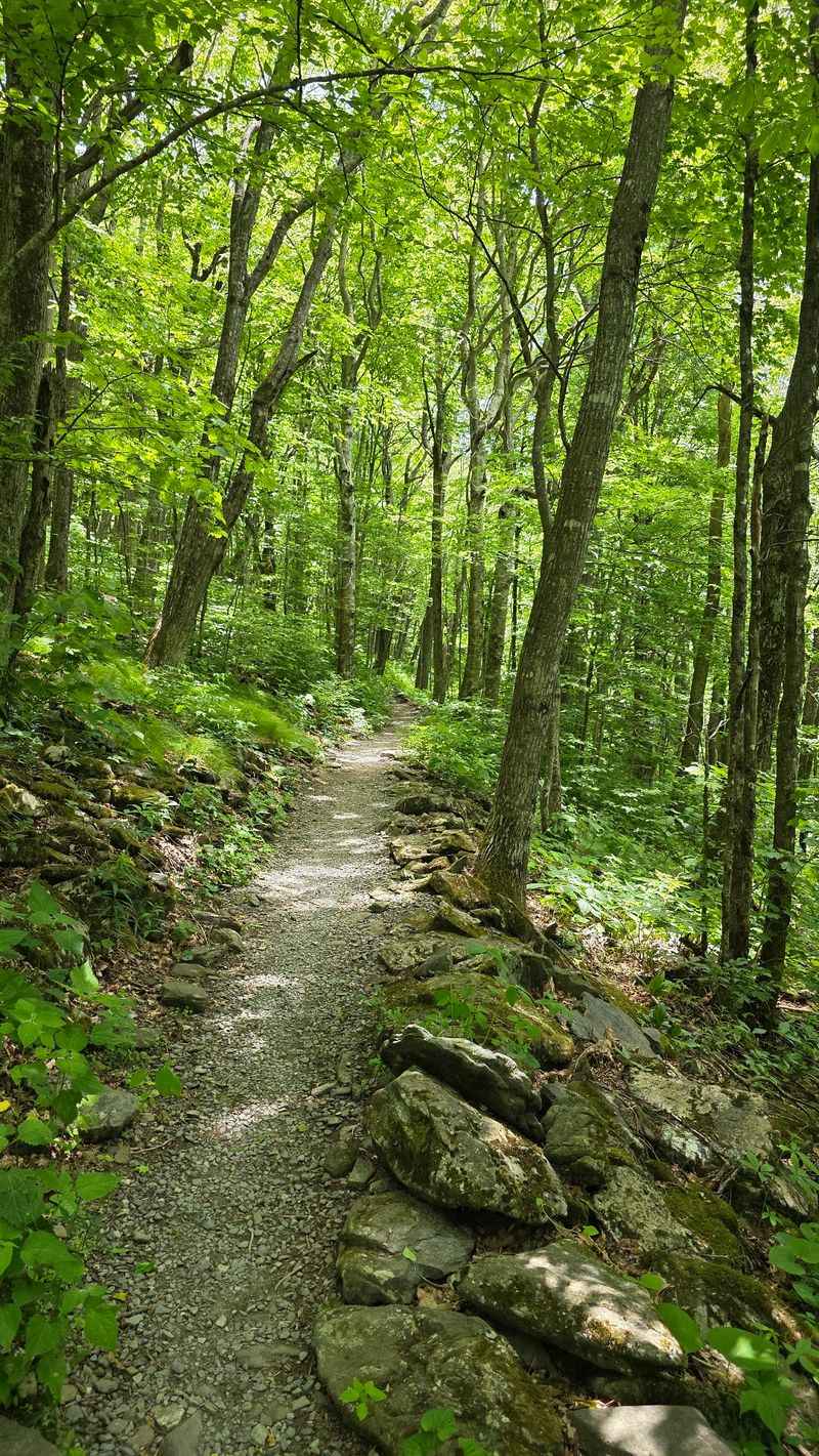
Elevation becomes the whole point at Elk Knob. The state park sits about 11 miles north of Boone, and its signature Summit Trail climbs 1.9 miles one way toward a peak reaching 5,520 feet.
That makes the complete out-and-back outing roughly 3.8 miles. North Carolina State Parks rates the trail moderate to strenuous, so the relatively compact mileage should not be confused with an effortless walk.
The route gains elevation through hardwood forest using a series of switchbacks and carefully built trail sections. Seasonal wildflowers add color along the mountain, including flame azalea among the plants documented in the park.
Once the trees begin opening near the summit, the reason for all that climbing becomes obvious. Panoramic viewpoints look across the High Country and toward distant mountain ridges.
Conditions can be noticeably cooler at the top than they are in Todd or Boone below. The park specifically warns visitors to prepare for that temperature difference.
The Summit Trail itself is open in August 2026. A portion of the separate Backcountry Trail remains closed because of damage from Hurricane Helene, so hikers should not confuse the two.
For a nearby Boone hike that actually feels like a summit day, Elk Knob is difficult to beat.
1. Cascades Trail, E.B. Jeffress Park
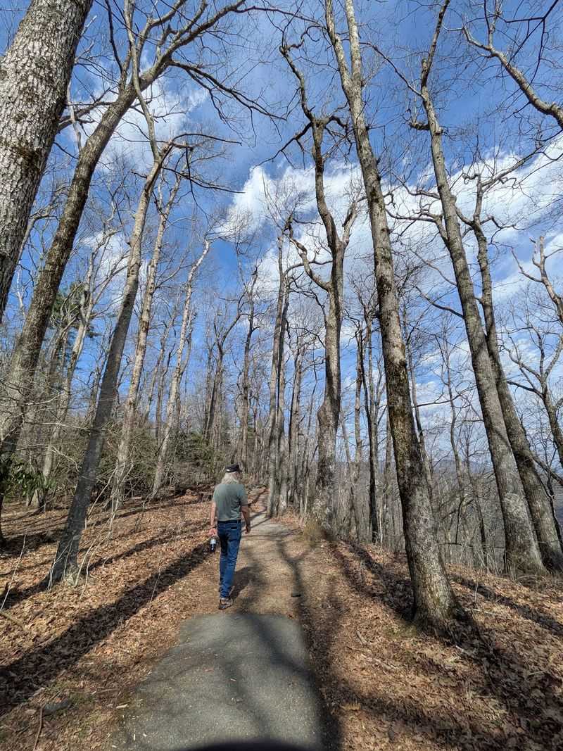
Short mileage leaves plenty of room for surprises at the Cascades Trail. The roughly one-mile loop begins at the Cascades Overlook area near Blue Ridge Parkway Milepost 271.9, about 15 miles east of Boone.
Much of the walk is approachable, beginning on pavement before changing to gravel and forest trail. Interpretive plaques identify trees and plants along the route, turning the first part into something closer to a self-guided nature walk.
Then the terrain changes. A bridge crosses Falls Creek, and steeper steps descend toward two overlooks where the water drops away from the Blue Ridge.
Those final sections deserve more care than the easy overall mileage might suggest. Visitors should remain on the established path and behind the stone barriers at the viewpoints.
Climbing around the waterfall is unsafe. After the overlook, the loop continues beside the stream before returning uphill toward the parking area.
Picnic tables at E.B. Jeffress Park make it easy to stretch a short hike into a longer stop.
Anyone wanting additional mileage can connect toward the Tompkins Knob area and historic structures nearby.
For a quick Boone-area outing, though, the basic Cascades loop packs forest, interpretation, moving water, and a waterfall viewpoint into remarkably little trail.
Disclaimer: Trail conditions, access, closures, facilities, and regulations can change without notice. Weather and seasonal conditions may also affect individual routes.
Driving times are approximate and can vary with traffic, road work, weather, and your exact starting point in downtown Boone. Blue Ridge Parkway closures can significantly change travel times to some trailheads.
Distances and difficulty ratings are based on currently available official information. Actual hiking experiences can vary with fitness level, trail conditions, and recent rainfall.
Mountain weather can change quickly. Temperatures may also be noticeably cooler at higher elevations.
Stay on marked trails and respect all posted closures. Use extra caution around waterfalls, steep drops, wet rocks, creek crossings, and exposed viewpoints.
Some trails are shared with runners, horseback riders, or other recreational users. Follow posted rules and yield when appropriate.
Wildlife, fallen trees, erosion, storms, and maintenance work can temporarily affect a trail. Hurricane damage may also continue to influence access in parts of the region.
Before leaving, check current information from the National Park Service, North Carolina State Parks, or the appropriate local authority. Confirm road conditions and trail status before making a special trip.