This Abandoned Nebraska River Town Feels Like It Vanished Into The Wilderness
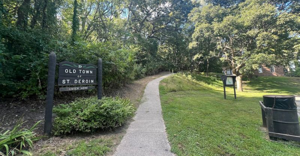
Time has a way of changing a place long after the people have gone.
Footpaths replace busy streets, trees fill spaces once occupied by homes, and quiet surroundings make it surprisingly easy to imagine how different the landscape looked generations ago.
Visiting an abandoned settlement is about noticing the traces that history left behind.
Deep in southeastern Nebraska, echoes of an earlier community still linger among the woods.
Only a handful of visible reminders remain, yet each one hints at a town that once welcomed travelers and families along the Missouri River.
Walking through the area encourages a slower pace as old foundations and scattered features gradually tell the story of a community that faded.
Silence becomes part of the experience. Birds, rustling leaves, and distant river sounds have replaced the activity that once defined daily life.
The Missouri River Swallowed Nearly The Entire Town
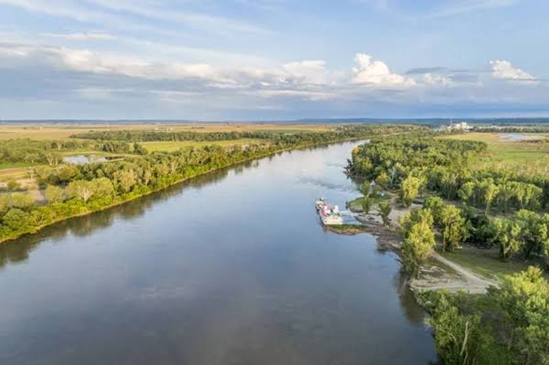
Water has a way of reclaiming what people build, and nowhere in Nebraska tells that story more vividly than the St. Deroin townsite.
Since the 1840s, repeated flooding along the Missouri River progressively destroyed the portion of the settlement that sat below the river bluff.
The town was essentially built at the river’s edge, which made it both commercially valuable and dangerously exposed.
A major flood event in 1911 delivered devastating damage to the remaining structures, washing away buildings that had already survived decades of seasonal high water.
By 1920, floods had erased nearly all physical evidence of the townsite that once occupied the floodplain. Only the structures relocated to higher ground managed to survive the river’s persistent reach.
Today, standing at the bluff’s edge and looking down toward the Missouri gives a clear sense of just how vulnerable that original location was.
The river has shifted its channel over the years, further altering the landscape where streets and storefronts once existed.
Ground depressions in the soil are among the few remaining hints that a functioning community once stood here, making the site feel both haunting and surprisingly easy to overlook without some historical context.
A Restored Schoolhouse Still Stands Above The Forgotten Townsite
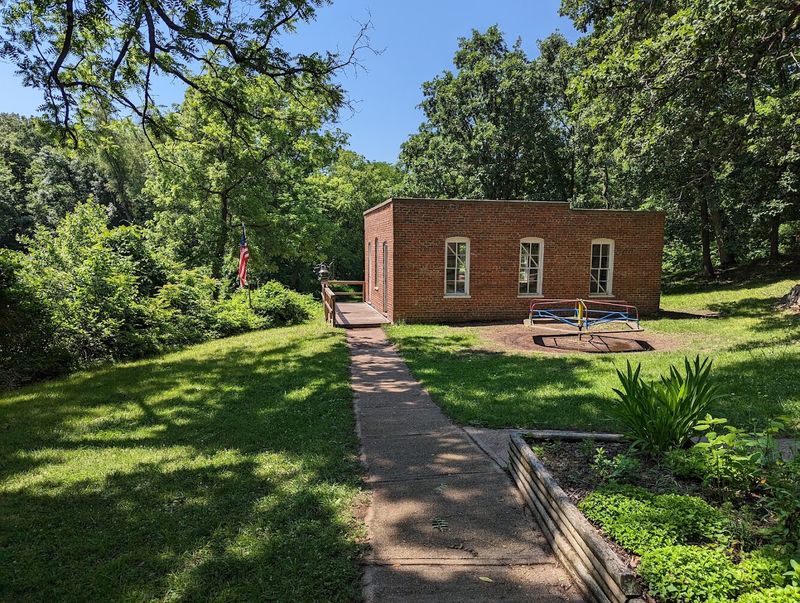
Brick walls and a sturdy roof might seem ordinary, but the St. Deroin schoolhouse earned its survival the hard way.
Originally constructed in 1868 during a revival of river commerce, the building served the community’s children for decades before the rising Missouri River made its original location untenable.
Rather than abandon it, residents made the remarkable decision to dismantle the entire structure and reassemble it on higher ground along the bluff.
That relocation happened in 1912, just one year after the catastrophic flood that devastated the lower townsite.
The one-room brick school was then carefully restored to its original condition in 1978, preserving its frontier-era character for future generations.
Indian Cave State Park now maintains the building and uses it as part of living history programming during summer weekends.
Stepping inside the schoolhouse gives a tangible sense of how education functioned on the Nebraska frontier.
Wooden desks, a chalkboard, and period-appropriate details fill the small interior with a quiet authenticity.
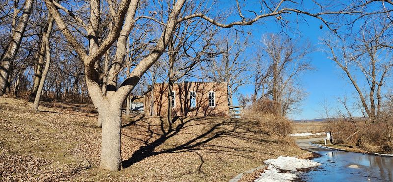
The building sits above the area where most of St. Deroin once stood, giving it an almost sentinel-like presence over the forgotten landscape below.
St. Deroin Once Operated A Busy Missouri River Ferry
For over three decades, St. Deroin was a crossing point that connected the Nebraska Territory with Iowa across the wide Missouri.
The ferry service began in 1854, the same year the town received its formal charter, and it quickly became the community’s economic engine.
Travelers, settlers, and goods moved through St. Deroin because the ferry made crossing the river possible at a time when bridges were nonexistent in this stretch of the Missouri.
The crossing drew steady traffic and helped justify the cluster of businesses that grew up around the landing.
Hotels, blacksmith shops, and supply stores all benefited from the steady flow of people passing through on their way west or returning east.
The ferry wasn’t just transportation – it was the reason St. Deroin existed in the form it did.
Eventually, the Missouri River’s shifting channel made continued ferry operations at the original location impossible.
The river’s restless nature, which had always been both the town’s greatest asset and its greatest threat, finally made the crossing unworkable.
The ferry landing officially closed in 1915, and service relocated to Brownville.
Nearly 200 Residents Lived Here During The Town’s Peak
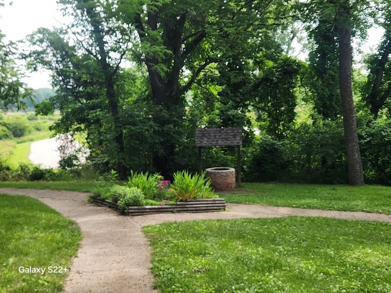
At first glance, the quiet bluffs and empty ground at St. Deroin give no hint of the human activity that once filled this stretch of Nebraska riverbank.
During the 1870s, the town supported nearly 200 residents, with some historical estimates placing the peak population closer to 300 individuals.
For a frontier settlement along the Missouri River, that kind of density represented a genuinely thriving community with real social and economic weight.
Families lived here, children attended the brick schoolhouse, and neighbors relied on each other through the seasonal rhythms of river life.
The population supported enough demand to sustain around 20 businesses, two doctors, a hotel, and a post office, creating a self-sufficient settlement that served both locals and passing river traffic.
Life wasn’t easy, but it was organized and purposeful.
By 1880, the population had already begun to decline, dropping to roughly 90 residents as the combined pressures of flooding, a shifting river channel, and railroad competition started pulling commerce elsewhere.
That decline unfolded gradually at first, then accelerated sharply after the 1911 flood.
Understanding that nearly 200 people once called this now-silent place home makes the emptiness feel less like abandonment and more like a community that simply ran out of options against forces far larger than itself.
Major Floods Swept Away Most Of The Townsite
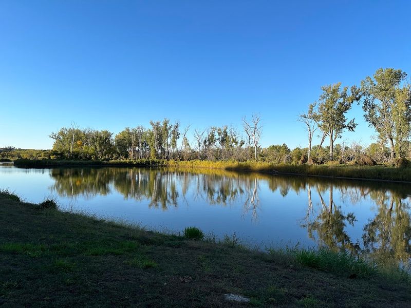
Flooding along the Missouri River wasn’t an occasional inconvenience for St. Deroin – it was a recurring catastrophe that systematically dismantled the town piece by piece.
From the 1840s onward, the portion of the settlement built on the floodplain below the river bluff was vulnerable to every significant rise in the river.
Spring floods in 1880 had already begun washing away buildings, signaling clearly that the town’s lower section was not sustainable long-term.
The 1911 flood proved to be the most destructive single event, inundating St. Deroin and causing widespread structural damage that the community could not recover from.
Steamboat landings became increasingly difficult as the flood-altered riverbank changed the physical conditions at the crossing point.
The town that had already been weakened by the railroad bypass and the loss of ferry traffic now faced the near-total destruction of its physical infrastructure.
By 1920, floods had claimed most of what remained of the original townsite. The combination of two major flood events in 1911 and 1920 essentially completed what decades of gradual erosion had started.
Today, ground depressions and the elevated schoolhouse and cemetery are the only physical evidence that a functioning community once occupied this stretch of the Missouri River valley.
The Community Was Completely Abandoned By 1920
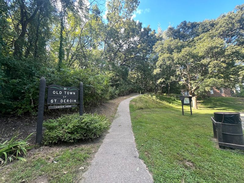
By 1920, the sequence of events that had been unraveling St. Deroin for decades finally reached its conclusion.
The community that had once supported nearly 200 residents, 20 businesses, a ferry crossing, and a post office was gone.
Floods, a shifting river channel, railroad competition, and decades of population decline had collectively made sustained life in the settlement impossible, and the last holdouts had moved on.
The schoolhouse was the lone building that continued functioning past the town’s abandonment, serving Nemaha County School District 56 until its closure in 1944.
That detail – a school operating in an otherwise empty ghost town for more than two decades – carries a particular kind of quiet resilience.
Families in the surrounding rural area still needed the building even after the community it once anchored had dissolved entirely.
Visiting St. Deroin today means walking through a place that has been reclaimed almost entirely by nature.
The trees, the bluffs, the river sounds, and the occasional deer moving through the underbrush fill the space where streets and storefronts once existed.
The abandonment happened gradually enough that no single dramatic moment marked the end, which makes it feel less like a tragedy and more like a slow exhale.
Living History Weekends Recreate Pieces Of Frontier Life
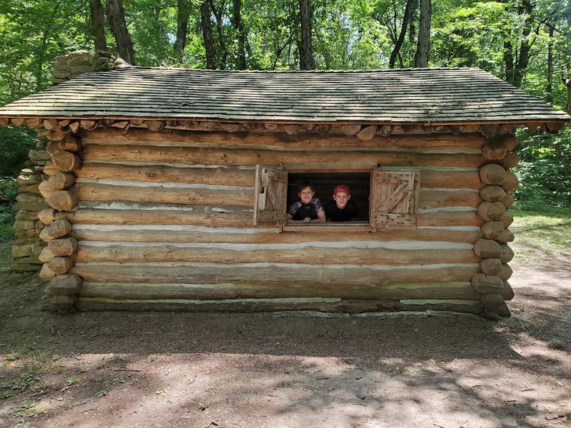
Reconstructed buildings are one thing, but watching someone actually work a 19th-century broom-making machine changes the experience entirely.
Indian Cave State Park hosts Living History Weekends at St. Deroin from May through October, filling the reconstructed townsite with reenactors who demonstrate the trades and crafts that kept frontier communities functional.
The events are grounded in the kind of hands-on activity that makes history feel real rather than curated.
Visitors can observe candle dipping, lye soap making, and blacksmithing during these weekends, with each demonstration connected to actual practices from St. Deroin’s active years.
The old log cabin hosts some of the craft demonstrations, while the general store features the broom-making machine that dates to 1879.
The reconstructed blacksmith shop and broom shop round out the townsite’s living history footprint, giving each building a specific functional identity.
Families with children tend to find these weekends particularly engaging because the demonstrations are participatory rather than passive.
Watching raw materials transform into finished objects through period-accurate techniques communicates something about frontier self-sufficiency that a display panel simply cannot.
The Ghost Town Sits Inside One Of Nebraska’s Wildest State Parks
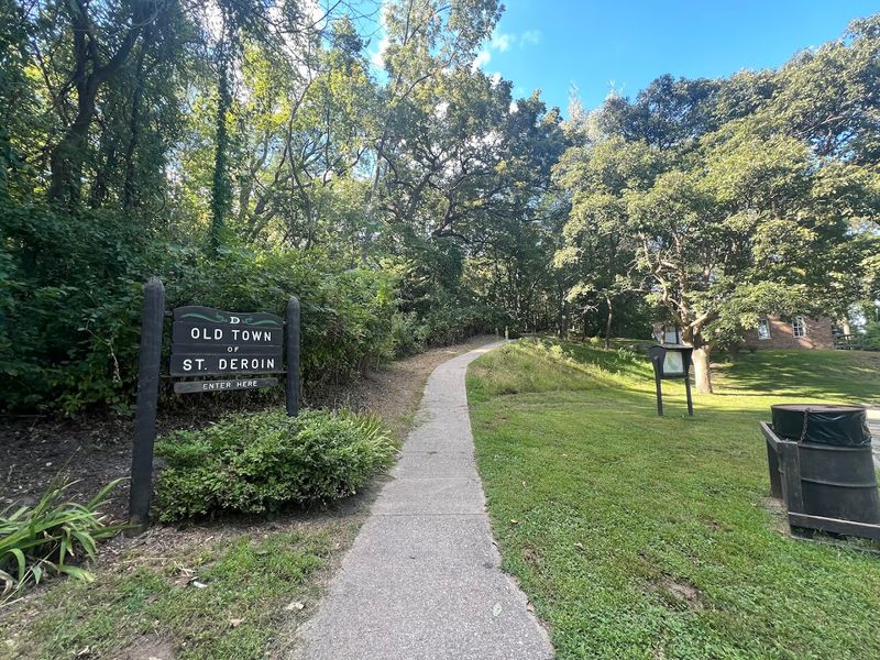
Finding a ghost town inside a state park is unusual enough, but finding one inside a park routinely described as Nebraska’s wildest adds another dimension to the visit.
Indian Cave State Park sits along the Missouri River near Shubert, Nebraska, and its address places it in the far southeastern corner of the state, well off the routes most travelers follow.
The park encompasses nearly 3,400 acres of native timber and forestland, with a topography that feels more like the Ozarks than the Great Plains.
The rugged, hilly landscape surrounding St. Deroin helps explain why the ghost town feels so remote even though it sits within a managed state park.
Deep ravines, dense hardwood canopy, and steep bluffs create a sense of genuine wilderness that few Nebraska parks can match.
That wildness isn’t just aesthetic – it shapes the entire experience of visiting St. Deroin.
The ghost town doesn’t feel like a roadside attraction or a curated museum exhibit.
Reaching it requires some effort, and the surrounding forest keeps the site feeling genuinely isolated, which makes the historical weight of the place land differently than it would in a more accessible setting.