This Car-Free Kentucky Trail Will One Day Circle An Entire City, And 50 Miles Are Already Open To Explore
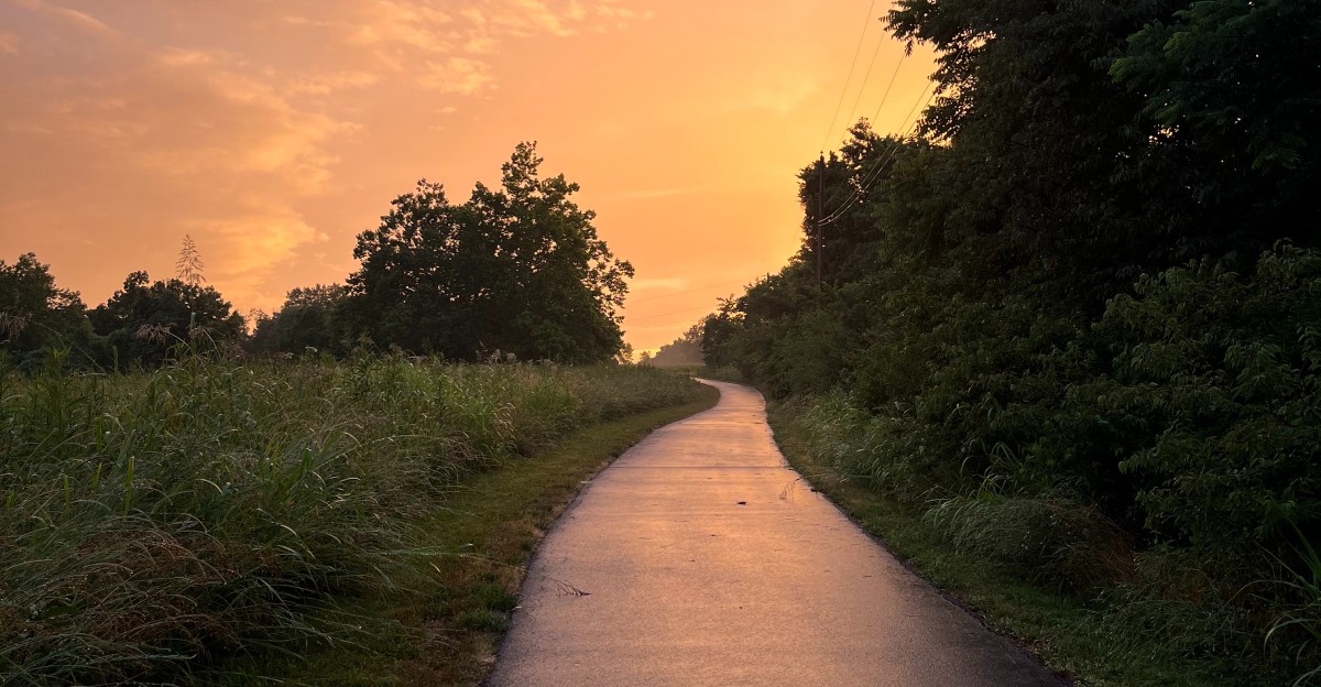
Mile 0 of this trail starts on an old railroad bridge over the Ohio River. From there, you can roll west for about 25 paved miles without sharing the path with a single car.
That stretch is only one piece of a much bigger plan. The finished trail will run more than 100 miles and wrap around an entire Kentucky city.
Roughly half of it is already open right now.
I love that the idea grew from a park designer’s dream in the late 1800s. He pictured ribbons of green tying neighborhoods together.
Today, walkers, runners, skaters, and cyclists get to test that dream one mile at a time.
The only real question is which section you’ll tackle first.
A Trail That Wants To Hug The Whole City
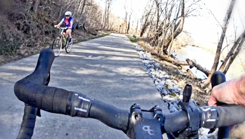
Most trails go from point A to point B. The Louisville Loop has a bolder goal, which is to make a giant circle around Louisville Metro.
When finished, this shared-use path system will stretch more than 100 miles across Jefferson County. It will link neighborhoods, schools, workplaces, shops, and parks along the way.
Right now, about 50 miles are open and ready for you. The path is paved, non-motorized, and built to be ADA accessible.
That means walkers, runners, skaters, wheelchair users, and cyclists all get a fair share of the pavement.
The numbers for the future are pretty impressive. Once complete, the Loop is expected to sit within one mile of 66 percent of residents.
It will also be within half a mile of 94 percent of bus routes.
That turns a fun weekend ride into something more useful. Kids could someday bike closer to school, and workers could skip the car for short trips.
Of course, the circle isn’t closed yet. You’ll find finished sections with gaps between them, so plan your route before you go.
Think of it as a puzzle that Kentucky is still putting together, piece by piece.
Start Your Odometer On A Bridge Over The Ohio River

Every great adventure needs a starting line. On this trail, it happens to be the Big Four Bridge in downtown Louisville, which serves as Mile 0.
From there, the Ohio River Valley segment heads west for about 25 miles. It’s the longest continuous stretch of the whole Loop.
The path ends at the Watson Lane trailhead, giving you plenty of room to stretch your legs.
The first miles are packed with city sights. You’ll pass Waterfront Park and public art installations.
The route also rolls near the Louisville Slugger Museum and Factory, the Belle of Louisville, and the Muhammad Ali Center.
That’s a lot of famous names for one bike ride. You could easily turn a short trip into a full day of stops.
Farther west, the scenery opens up with steady views of the river. Keep an eye out for barges sliding past.
With some luck, you might even spot a bald eagle overhead.
The McAlpine Locks and Dam also sits along this section. Watching big boats move through the locks makes a great excuse to catch your breath.
Thank A Famous Park Designer For The Big Idea
Long before anyone said the word greenway, Frederick Law Olmsted Sr. had Louisville figured out. In the late 1800s, he designed the city’s historic park and parkway system.
His big vision was simple. He wanted ribbons of green connecting communities.
The Louisville Loop builds right on top of that legacy, which makes every ride feel a bit like a history lesson on wheels.
The modern plan took shape in 1993 as part of the Cornerstone 2020 plan. Then, in 2005, it became the centerpiece of the City of Parks initiative.
So yes, this trail has been decades in the making. Good things take time, especially when they cover an entire county.
You can actually ride through Olmsted’s work today. The Ohio River Valley segment passes through Shawnee Park and Chickasaw Park, both designed by him.
These spaces feel roomy and calm, with that classic park layout he was known for.
It’s a cool thought. You’re pedaling along a path that connects ideas from over a century ago to plans that are still being built right now.
Save Your Legs For The Hills At Floyds Fork
Flat river miles are relaxing. The Parklands of Floyds Fork segment is where the Loop starts flexing a little.
This 19-mile off-road stretch runs through the nearly 4,000-acre Parklands. It passes four separate parks: Beckley Creek, Pope Lick, Turkey Run, and Broad Run.
Each one offers its own scenery and things to do.
Expect some hilly terrain here, which is different from the gentle grades found elsewhere. Some surfaces in the Parklands are concrete rather than asphalt.
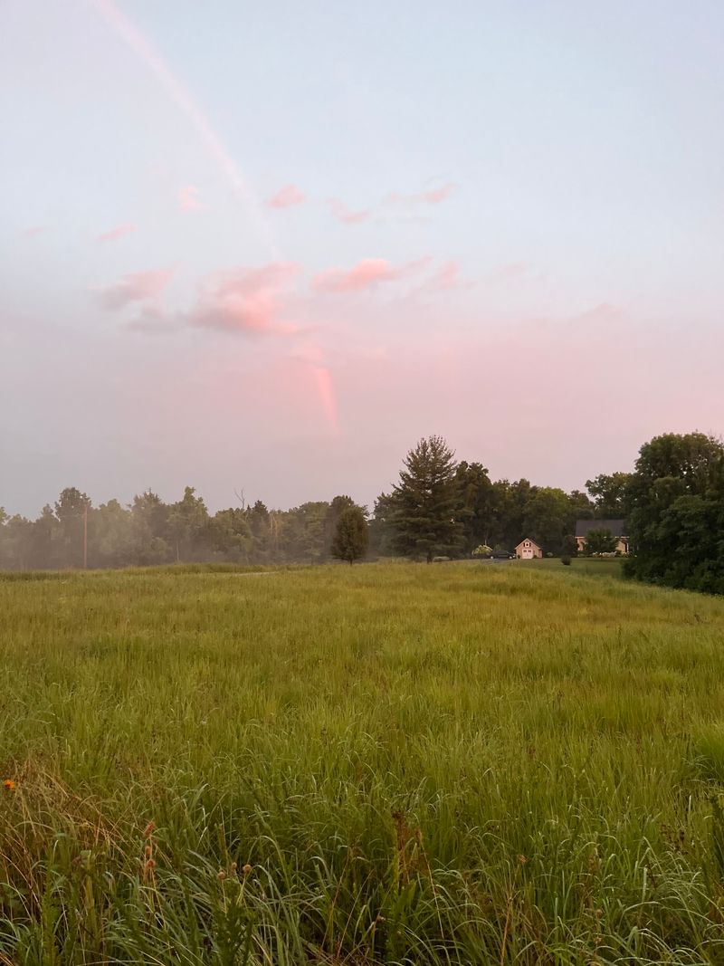
Your thighs may complain on the climbs. Your eyes probably won’t, since the views of meadows, woods, and water keep coming.
The fun doesn’t stop at the trail edge either. You can canoe or kayak along Floyds Fork itself.
Mountain bikers can head to the Silo Center Bike Park in Turkey Run Park for dirt-path thrills.
I like that one section can serve so many moods. Go for a peaceful walk, a tough ride, or a paddle.
Then mix all three in one Kentucky afternoon if you’ve got the energy.
Old Trestles, Fossils, And Wildlife Make Great Pit Stops
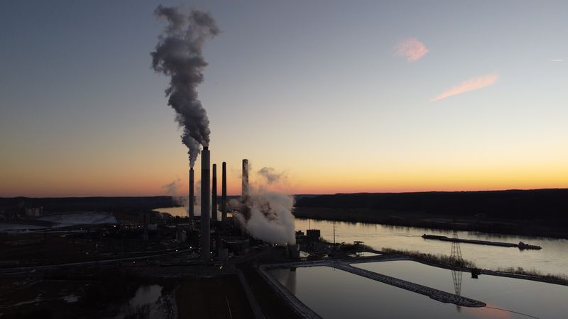
A towering train trestle from the late 1880s stands at Trestle Point in Pope Lick Park. It’s become part of local lore, and it’s quite a sight from the trail.
Please admire it from the park, though. The trestle is a landmark to view, not a place to climb or explore.
Nature lovers have other treats nearby. Catfish Bend offers chances for wildlife viewing.
Bring binoculars and some patience, because the best spotting often happens when you slow down.
Then there’s Mussel Bend, where you can search for fossils. That’s right, a bike trail with a built-in treasure hunt.
Kids especially tend to love this kind of stop. A rocky creek bank feels like a science lesson they actually want to attend.
These spots show why the Loop is about more than mileage. The project includes an interpretive program to highlight the natural and cultural history of the county.
So go ahead and take the scenic pause. Your speed stats might drop, but your stories will get much better.
Five Landscapes Are Hiding In One County
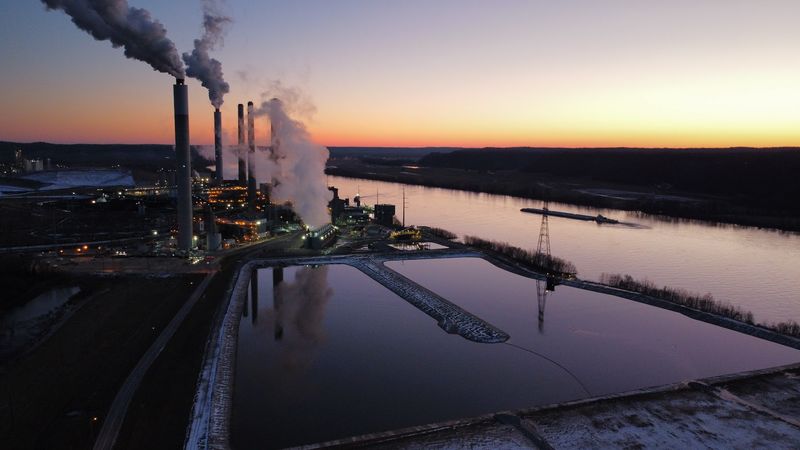
Geology nerds, this part is for you. The planned Louisville Loop crosses five distinct physiographic regions within Jefferson County.
Those regions are the Ohio River Valley, The Knobs, the Shale Lowlands, the Limestone Belt, and Floyds Fork. Each one has its own rocks, landforms, plants, animals, and history.
That’s a lot of variety without leaving the county. One day you’re cruising beside a wide river.
Another day you’re rolling past hills and forest.
It’s like getting five trails for the price of one. Except the price is free, which makes it even better.
The idea is to help you notice the land under your wheels. The interpretive program and public art along the Loop help tell these stories as you go.
Ever wondered why one part of town feels flat and another feels bumpy? This trail quietly answers that question, one region at a time.
I think that’s a clever way to explore Kentucky. You get exercise, fresh air, and a crash course in Earth science, all with no homework attached.
Riverside Is A Sweet Turnaround Point
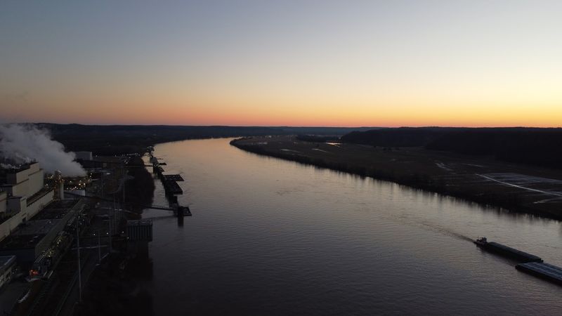
Pack snacks for this one. A nearly 25-mile paved path lets you travel from downtown Louisville all the way to Riverside, the Farnsley-Moremen Landing.
That’s a big ride, but you don’t have to do it all at once. Many people pick a trailhead and head out for a shorter trip.
Handy access points line the riverside route. Carrie Gaulbert Cox Park sits at 3730 River Rd, Louisville.
Lannan Memorial Park is at 2375 Lannan Park Rd, and Riverview Park is at 8202 Greenwood Rd.
Trailheads often offer parking, restrooms, and water fountains. That makes planning much easier, especially with kids in tow.
The surface here is mostly asphalt, and the grades are generally flat. It’s friendly territory for beginners, families, and anyone easing back into exercise.
Riverside also links to the Pond Creek corridor, which heads toward Jefferson Memorial Forest and Fairdale. So this spot isn’t really an end point.
It’s more like a doorway to the next chapter of the Loop. Your legs get to decide how far that chapter goes.
Big Plans Are Brewing In The Forest And Beyond
Seven new miles of trail are planned inside Jefferson Memorial Forest. At 6,600 acres, that forest is a massive green space for a city park system.
The plans include the Medora trail, a 3-mile multi-use path. It will feature a bridge over Pond Creek.
Another 2.5-mile path will include a bridge in Dodge Gap. It will also use a rehabilitated tunnel under the Gene Snyder Freeway, which sounds like a fun little adventure.
Farther along, the developing Limestone Belt South area has its own highlights. Fairmount Falls drops nearly 40 feet.
McNeely Lake Park is set to become a future focal point of the Loop.
Progress keeps happening across town too. In November 2026, two new segments in East Louisville added just over one mile.
A mile may sound small. For a trail circling a whole Kentucky city, every new link matters.
Watching this project grow is part of the fun. Each update brings the full circle a little closer to reality.
Smart Tips Will Make Your First Ride Smoother
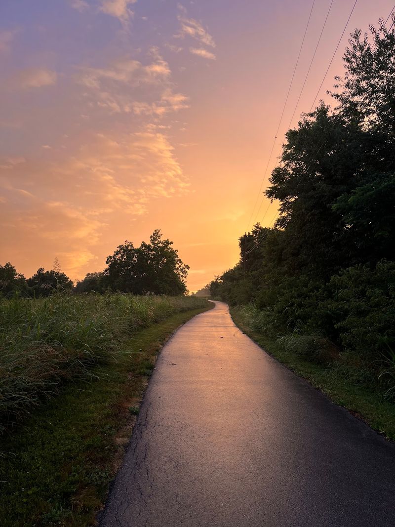
Planning beats guessing on a trail that isn’t finished yet. Since the Louisville Loop still has gaps, check a map before you head out.
Choose one section and treat it as its own outing. The riverfront works well for flat, easy miles.
The Parklands suit anyone ready for hills.
Start at a trailhead whenever you can. Many have parking, restrooms, and water fountains, which saves you from awkward surprises later.
Bring water anyway, plus sunscreen and a basic tire repair kit. Long paved paths are lovely until a flat tire shows up uninvited.
Remember that the path is shared by many people. Walkers, runners, skaters, and cyclists all use it, so a friendly bell or a quick heads-up goes a long way.
The Beargrass Creek Greenway is another option. It connects Waterfront Park and Cherokee Park, giving you more ways to explore.
Someday, this Kentucky trail will form one complete circle. Until then, roughly 50 open miles are waiting.
That’s plenty of room to find a favorite stretch and keep coming back.