This Idaho Backcountry Spot Hides Amethyst Quartz And Geodes Beneath Your Feet
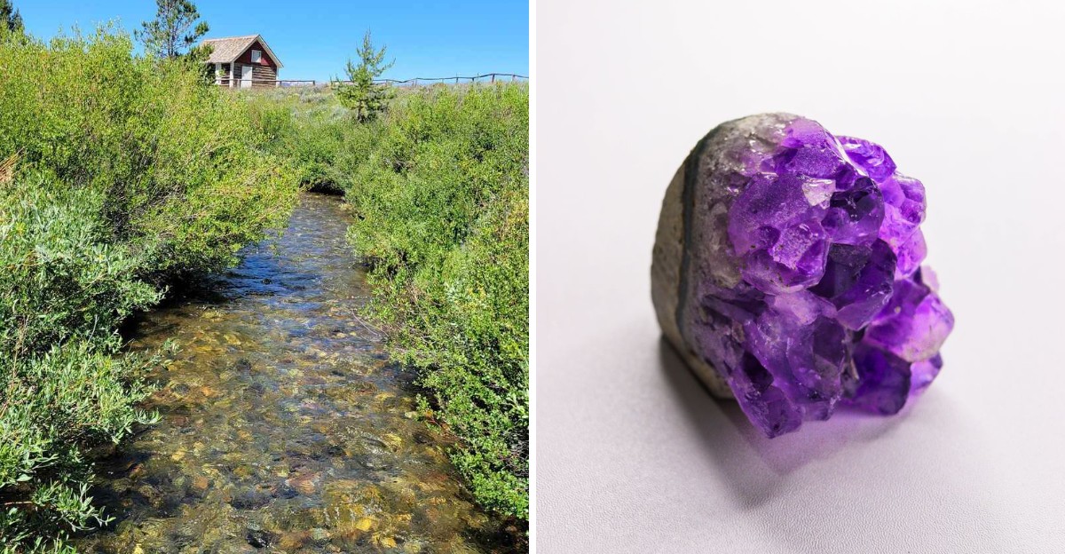
The cabin is old. The gravel around it may be hiding treasure.
Deep in Idaho’s backcountry, a weathered ranger station from 1909 sits above a broad mountain valley where the real surprise is underfoot.
Visitors have found amethyst, quartz, and geodes in the surrounding material, turning an ordinary forest stop into the kind of place that makes everyone suddenly start staring at rocks.
That feels very appropriate for the Gem State.
Reaching the site takes a dusty forest road and a little patience, but the payoff is not just the scenery. The fun comes from knowing that something sparkling could be sitting in plain sight beside your boots.
No fancy mine tour. No velvet display case.
Just a bucket, sharp eyes, and the possibility that Idaho left a souvenir buried in the gravel.
Modern Rockhounding Maps Put Pole Creek On Collectors’ Radar
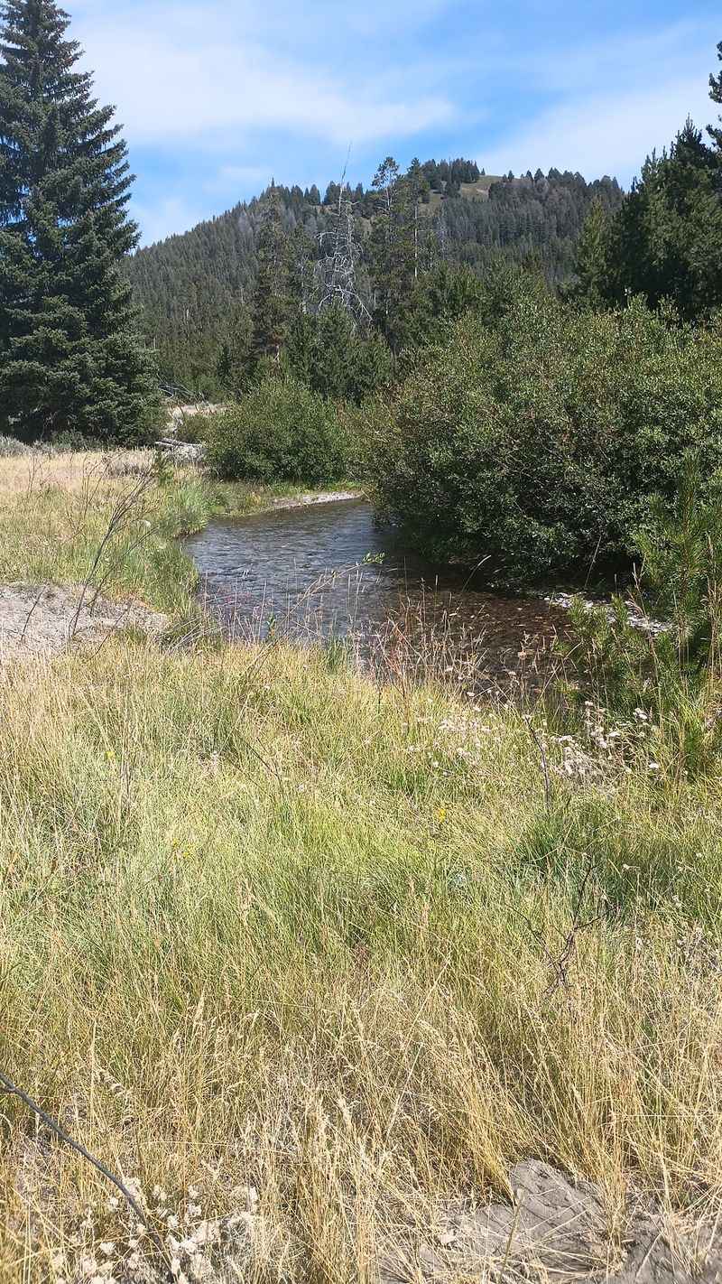
Coordinates tell an interesting story before a single stone is picked up. RockHoundR currently marks a Blaine County site along Pole Creek Road for amethyst, quartz, and geodes, with its pin falling almost beside Pole Creek Ranger Station.
Idaho Department of Lands also includes Pole Creek among the state’s documented Blaine County amethyst localities, so the mineral connection is not based on internet rumor alone.
Older references become less precise when quartz and geodes are considered because some identify a Pole Creek tributary of the Little Wood River rather than the creek beside the ranger station.
The sensible approach is to treat the modern pin as a reported collecting area rather than a guarantee that specimens are scattered everywhere nearby, while still recognizing that Pole Creek has a legitimate place in Idaho’s mineral record.
Purple Quartz Gives The Area Its Most Eye-Catching Mineral
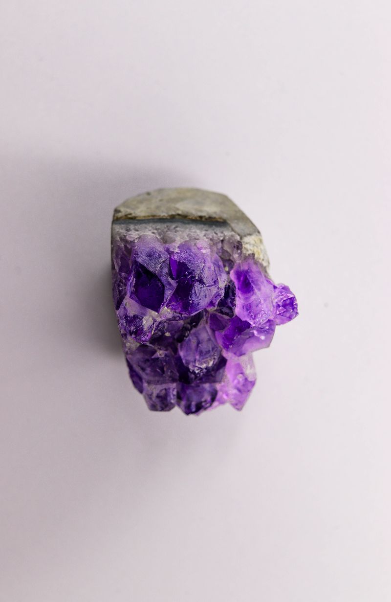
Deep violet is what most people hope to see when they hear the word amethyst, though nature often works in subtler shades.
Amethyst is simply the purple variety of quartz, and specimens can range from barely lavender to richly colored crystal depending on the conditions in which they formed.
Pole Creek appears in Idaho mineral records as an amethyst locality, while the modern mapped site also lists ordinary quartz alongside it.
Historical descriptions suggest pale material and clear quartz were much more common than intensely purple specimens, which makes a faintly tinted crystal every bit as consistent with the local record.
Anyone drawn here by the possibility of amethyst should therefore expect careful searching rather than piles of obvious purple stone waiting beside the road.
Geodes Add A Different Kind Of Surprise
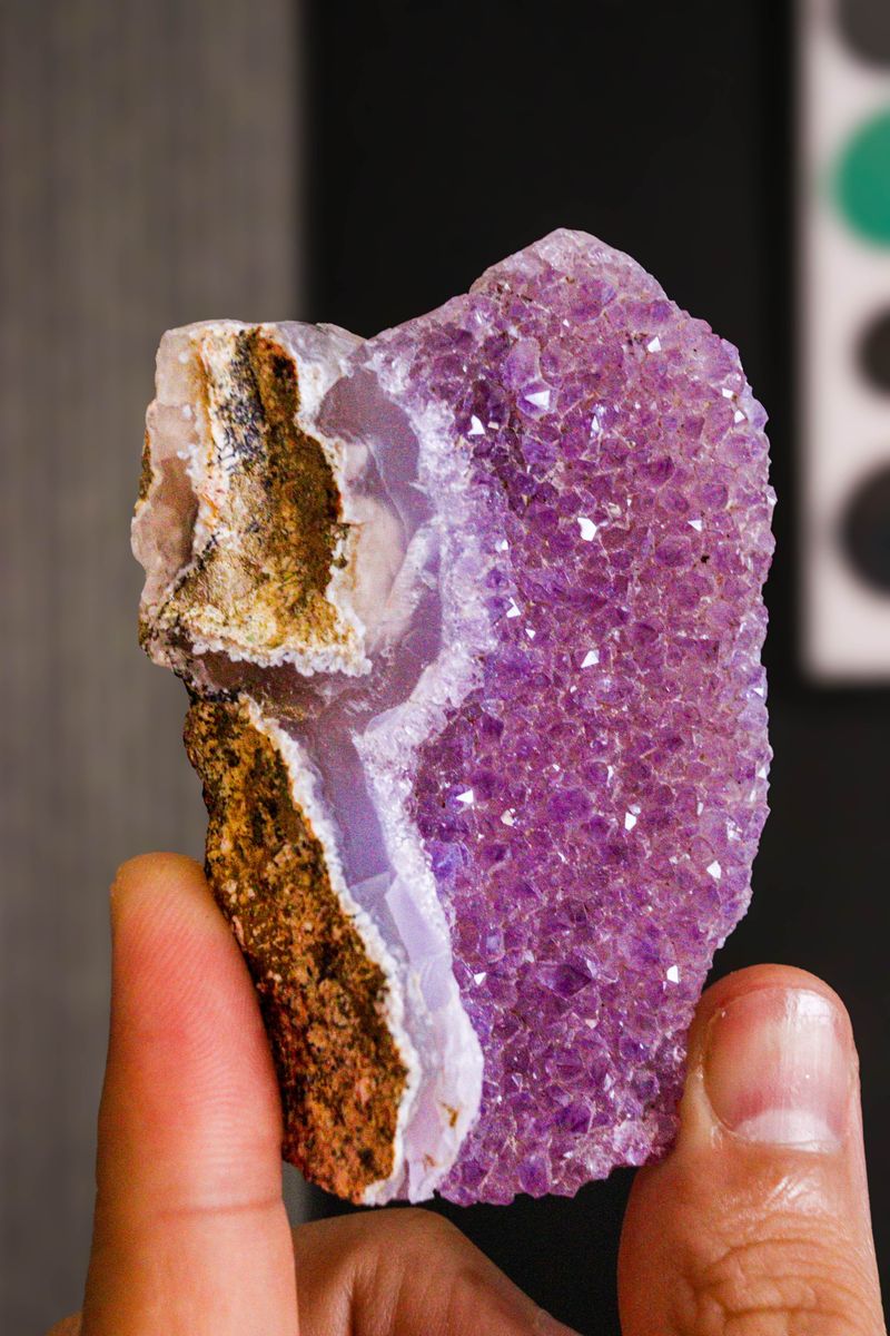
Few rocks reveal less about themselves from the outside than a geode. A rounded, rough exterior may conceal a hollow cavity lined with quartz, but an ordinary-looking stone can just as easily remain solid all the way through.
Historical mineral literature from Blaine County connects geodes with Pole Creek and describes many of their interiors as colorless quartz, with amethyst appearing less frequently.
The current rockhounding map also includes geodes at its Pole Creek Road location near the ranger station.
That combination gives them a legitimate place in the area’s mineral story without making them an everyday certainty.
Their appeal comes from precisely that uncertainty, since even a documented locality can produce long stretches of ordinary rock between the specimens collectors actually want to keep.
Clear And Milky Quartz May Be More Realistic Finds
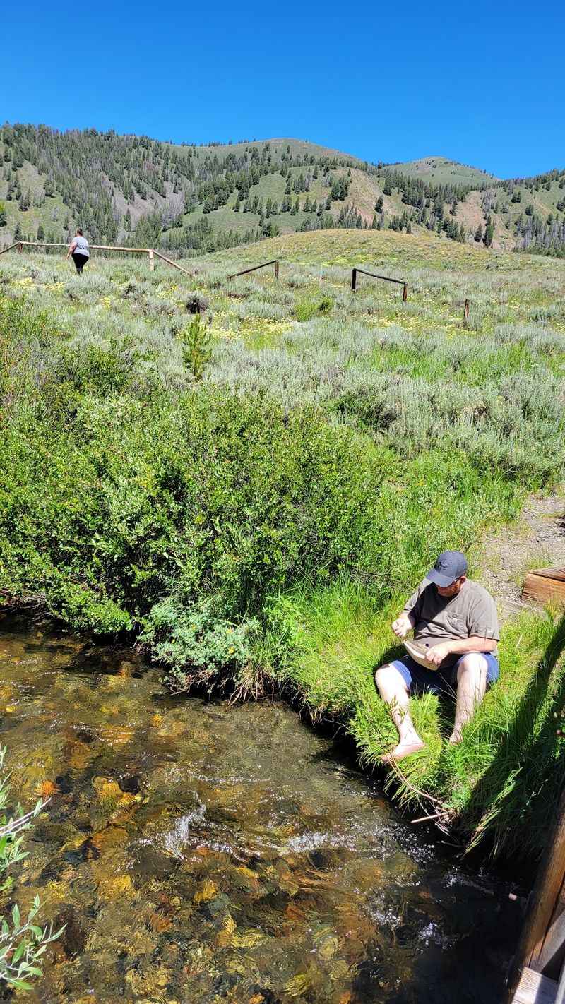
Not every worthwhile specimen needs dramatic color.
Clear quartz, cloudy white material, and lightly tinted pieces often make up a much larger share of what collectors encounter than richly colored amethyst, and quartz has one of the stronger documentary links to the broader Pole Creek mineral record.
Idaho’s official rockhounding information identifies quartz crystals from a Pole Creek locality in Blaine County, while contemporary maps continue to associate quartz with the Pole Creek Road area.
The older geographic description does not perfectly match the modern ranger-station pin, so it would be too strong to promise crystal points beside the cabin itself.
Still, quartz remains an important part of the story here, and even modest fragments can reveal glassy surfaces or recognizable crystal structure once dirt and dust no longer hide the details.
A Two-Room Cabin Has Survived Since 1909
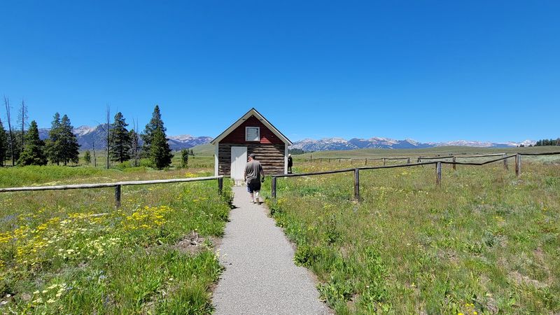
Small enough to underestimate at first glance, Pole Creek Ranger Station carries more history than its simple log walls suggest.
William H. “Bill” Horton built the two-room structure in 1909 while serving as district ranger on the Pole Creek District, and the cabin initially functioned as headquarters for the Sawtooth Valley Ranger District.
It later became a guard station and remained in Forest Service use into the 1950s.
oday it is recognized as the oldest remaining building in Sawtooth National Forest, while its importance to early Forest Service administration led to a determination of eligibility for the National Register of Historic Places in 1996.
A short interpretive trail makes the building easy to visit, giving travelers something completely different to examine after spending time studying the surrounding landscape.
Ranger Horton’s Diaries Preserve The Details People Usually Lose
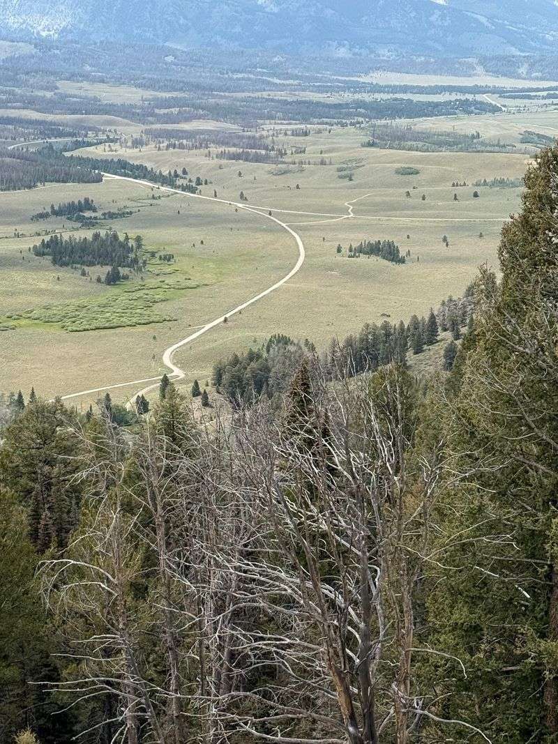
Daily chores rarely make history books, which is exactly what makes Horton’s surviving diaries so useful.
He lived at Pole Creek Ranger Station from 1911 through 1929 and recorded years of ordinary work in a remote Forest Service district, including responsibilities involving horses, grazing management, upkeep around the station, and the routines that filled life in Sawtooth Valley.
Those entries make the cabin feel less like an anonymous historic structure and more like an actual workplace where someone spent a significant part of his career.
Modern roads and vehicles make this part of Idaho easier to reach today, but Horton’s records belong to an era when distance shaped nearly every part of the job.
Standing beside the cabin now offers a direct connection to that early period of public-land management rather than a reconstructed version of it.
Glaciers Left Their Mark Across The Valley Floor
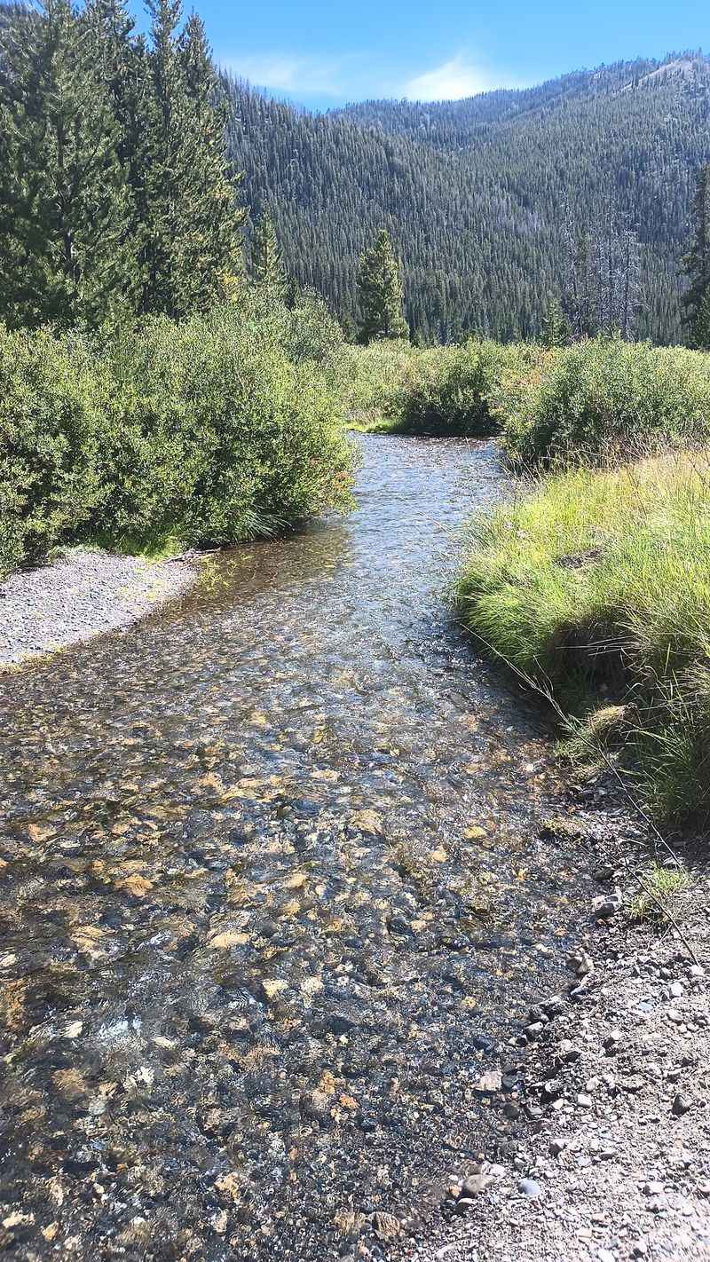
Long before a ranger ever slept at Pole Creek, moving ice was reshaping the surrounding landscape.
Forest Service research describes nearby ground as part of a broad valley floor influenced by glacial deposits, while studies of Sawtooth Valley document moraines and outwash left behind by Pleistocene glaciers.
The ranger-station area sits at roughly 7,300 feet, with open sagebrush country spreading across drier ground and wetter vegetation following the creek corridor.
That history matters because it provides a more accurate picture of the immediate terrain than imagining the site as one continuous volcanic field filled with crystal-bearing cavities.
Rocks here have been exposed, transported, buried, and rearranged through a landscape shaped by ice and running water, giving even ordinary gravel a much longer geological story than its appearance might suggest.
A Protected Research Area Sits Close To The Historic Site
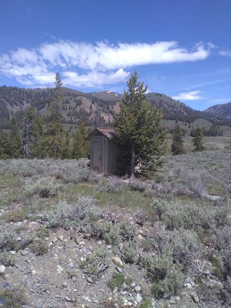
A few steps in the wrong direction can place a visitor in land managed for a very different purpose. The Pole Creek Enclosure Research Natural Area covers roughly 32 acres near the ranger station and was established to preserve representative natural conditions for scientific observation and research.
Its presence is especially important for rockhounds because a mineral symbol on a map does not override the management rules attached to a particular parcel of land.
Historic resources, protected areas, active mineral claims, and other designations can all change what visitors may remove or disturb.
The modern Pole Creek rockhounding listing remains useful for identifying the broader area, but anyone planning to collect should establish exactly where the permitted ground begins before using tools or taking material home.
Looking is easy; collecting requires knowing where you are standing.
Summer And Fall Make The Route Considerably Easier
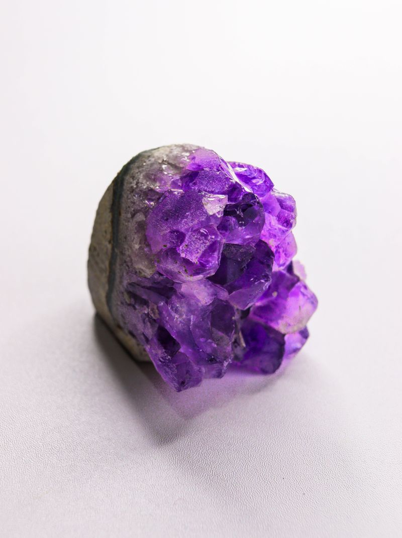
Snow decides when an ordinary car becomes practical in this high valley. Published information for Pole Creek Ranger Station describes passenger-vehicle access during summer and fall, while the rest of the year calls for over-snow travel.
Forest Road 197 leads toward the historic site, followed by a short interpretive path to the cabin, but conditions at more than 7,000 feet can change noticeably near either end of the warm season.
That makes current road information more reliable than assuming the same calendar dates will work every year.
Mid-summer offers the simplest odds for straightforward access, while early fall can bring a different look to the valley before winter closes in again.
Either season leaves enough daylight to make the ranger station part of a broader Sawtooth Valley outing rather than a rushed stop at the end of a forest road.
Finding Nothing Spectacular Would Hardly Ruin The Stop
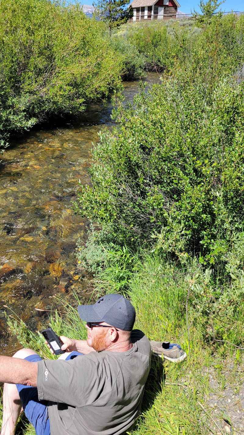
An empty bucket would not leave much room for disappointment once the rest of Pole Creek comes into view.
The mineral reports supply an intriguing reason to study the ground, but the 1909 ranger cabin, broad glacial valley, high elevation, and early Forest Service history keep the visit interesting regardless of what turns up among the rocks.
Before collecting anything, visitors should confirm current Forest Service rules and make sure the land is open to casual rockhounding.
Once those details are clear, Pole Creek offers a chance to explore Idaho’s geological landscape and look for minerals reported in the area.