These 12 Shaded Idaho Trails Are Made For Hot August Days
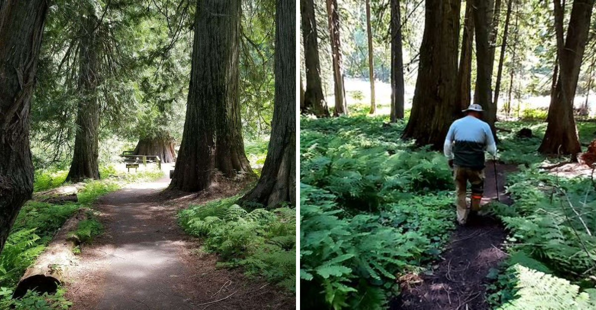
August has a talent for making five minutes outside feel like a personal challenge.
That is when a shady trail starts looking better than almost any other summer plan.
Across Idaho, cool forest paths offer a welcome break from the heat. Thick trees block the harshest sun, while nearby creeks help the air feel calmer and far more comfortable.
You do not need to be an expert hiker to enjoy them. Many are perfect for a slow walk, a quiet afternoon, or an excuse to avoid standing in direct sunlight any longer than necessary.
The best part is how quickly the mood changes. One moment, the day feels unbearably hot.
A few steps beneath the canopy, everything becomes softer, cooler, and much easier to enjoy.
These twelve trails make summer hiking feel less like a test of endurance and more like an actual escape.
Bring water, wear sensible shoes, and resist the urge to brag too much when everyone else is still melting in the parking lot.
1. Hobo Cedar Grove Trail No. 255
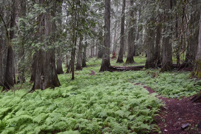
Imagine walking through a forest where the trees were already saplings when Christopher Columbus first sailed across the Atlantic. That is exactly the experience waiting along Hobo Cedar Grove Trail No. 255, a half-mile loop nature trail accessible via Forest Road 321 near Clarkia.
The 240-acre grove wraps visitors in a cool, green embrace the moment they step beneath its canopy.
A lush carpet of lady fern covers the forest floor, and a gentle stream flows quietly toward the West Fork of Hobo Creek. Log benches are scattered along the path, perfect for sitting quietly and soaking in the moist, fresh air.
Even on the sunniest August afternoon, the closed canopy keeps temperatures noticeably comfortable.
For those wanting a longer adventure, an additional one-mile Big Loop trail, Trail 254, extends the experience beautifully. A picnic area near the parking spot makes this an ideal full-morning outing.
Few Idaho trails pack this much ancient atmosphere into such a short and accessible walk.
2. Idler’s Rest Nature Preserve Trails
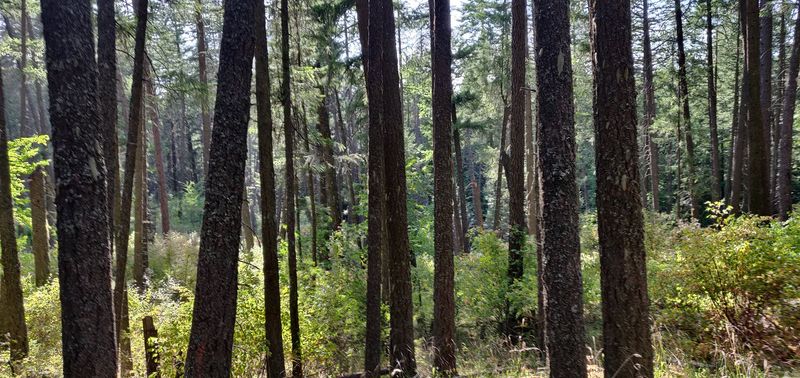
Cedar forest begins just beyond the road at this privately protected preserve northeast of Moscow. Palouse Land Trust currently describes more than one mile of low-impact single-track trail, while its detailed trail guide maps a broader network with more than five miles of possible combinations.
Short loops allow visitors to remain beneath trees, and longer routes connect wooded sections with meadow and orchard areas that receive more sun. Accessible parking, a restroom, and accessible trail access are available near the entrance.
Open hours run from dawn until dusk. Leashed pets are welcome, but bicycles, motorized vehicles, fires, hunting, woodcutting, and disturbance of plants or animals are prohibited.
One concern deserves attention: root rot has caused Douglas-fir mortality along Highland Loop, and restoration work is planned through 2029 because weakened trees can create safety risks. Follow closure signs and avoid lingering near active work zones.
Claims that the grove always feels 10 to 15 degrees cooler are not supported by the preserve’s current information. Shade and a small creek can still make the wooded side feel more comfortable than open Palouse ground.
Bring water, pack out every item, and choose a loop that matches the day’s heat and current trail notices.
3. Tubbs Hill Main Trail
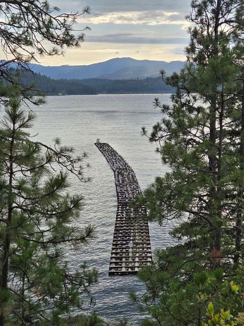
Forest shade and lake views share the same peninsula at Tubbs Hill in Coeur d’Alene. The city manages 165 acres bordered by Lake Coeur d’Alene on three sides, with a 2.2-mile interpretive trail following the perimeter.
Ponderosa pine and Douglas-fir cover many sections, but shoreline openings, rocky viewpoints, and exposed slopes still receive direct sun. Early morning or evening therefore offers a more comfortable August walk than the middle of the afternoon.
Western access begins near McEuen Park, while an eastern trailhead sits at the south end of 10th Street. Several connecting paths can shorten or lengthen the outing, so carrying the city map helps at unmarked junctions.
Rocky footing, roots, and short climbs make the loop more demanding than a paved waterfront stroll. Shoes with traction are a better choice than loose sandals.
Lake access points may look inviting, yet swimmers should assess conditions and use established areas rather than scrambling down unstable slopes. Fuel-reduction work has caused temporary trail closures during 2026, making posted signs especially important.
Check the city’s notices before choosing a route. Tubbs Hill belongs on this list for convenient forest cover and scenery, not because every part remains shaded or cool throughout the day.
4. Giant Red Cedar National Recreation Trail
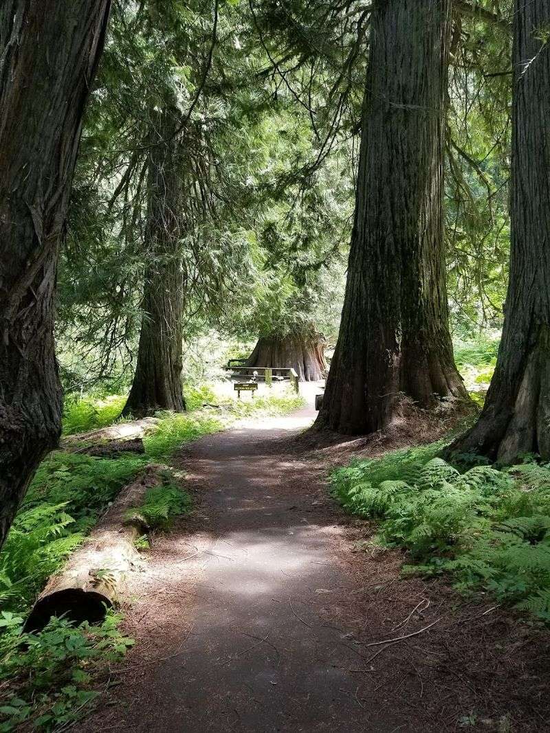
Filtered light and enormous trunks define this accessible forest walk north of Elk River. The Giant Cedar Grove Trailhead begins the paved Giant Red Cedar National Recreation Trail, Trail 748.
Forest Service information describes the route as accessible and highlights Idaho’s Champion Tree, a western red cedar measuring more than 18 feet in diameter.
Older descriptions sometimes add an exact age or height, but those figures are not included on the official trail page and should not be treated as settled facts.
The grove itself supplies enough interest without them. County Road 382 leads north from Elk River for about 10 miles before a turn onto Forest Service Road 4764.
The trailhead sits another quarter mile beyond the parking area. No fee is charged, and potable water is unavailable.
Bring enough for the walk and return drive. Paved surfacing makes the route easier for wheelchairs and strollers than most forest trails, though fallen needles, branches, or seasonal maintenance can still affect conditions.
Tall cedars provide substantial shade, while openings may feel warmer. Check Nez Perce-Clearwater National Forest alerts before departure, especially after winds.
A slow visit works best here because the trees, forest floor, and changing light are the destination.
5. DeVoto Memorial Cedar Grove Trail
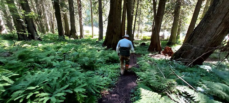
Massive western red cedars surround two short walking loops beside U.S. Highway 12 near the Montana border.
Nez Perce-Clearwater National Forests currently lists DeVoto Grove as open and describes some trees as more than 2,000 years old. The south-side loop is paved and wheelchair accessible, while the second loop provides another way to explore the grove and Crooked Fork Creek.
Picnic space makes this an easy stop for travelers who want shade without committing to a long hike. Potable water is not available, so bring your own supply even for a brief walk.
The site closes during winter, but August normally falls within its operating season unless fire, storm damage, or maintenance changes access. Check forest alerts before leaving.
Benches and level sections allow visitors to slow down beneath the canopy, though roots, needles, and natural debris may appear beyond the paved route. Claims that every tree exceeds 100 feet or that the grove always stays dramatically cooler should be avoided.
Its strengths are simpler: old cedars, filtered light, creek views, and a convenient roadside setting. Morning or late afternoon remains the most comfortable choice during severe heat, and sun protection is still useful around the parking and picnic areas.
6. Mineral Point Trailhead No. 82
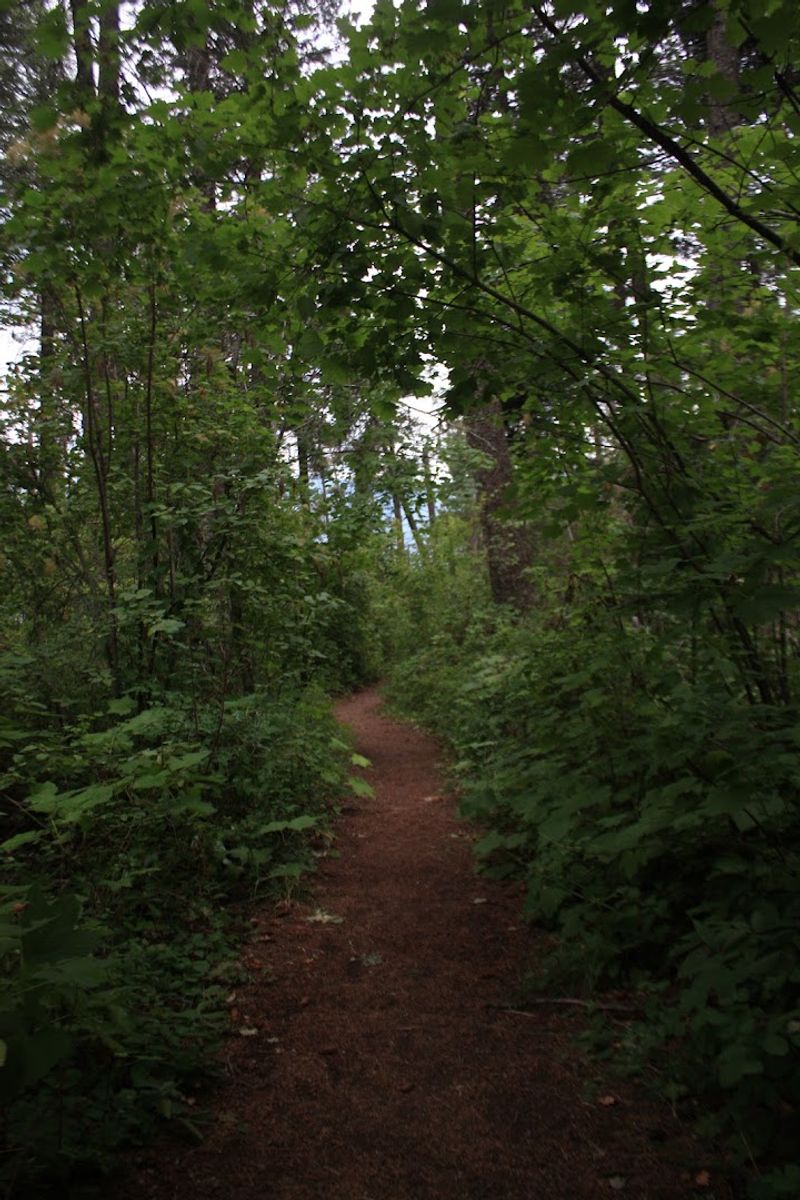
Lake Pend Oreille appears between forested sections on Mineral Point Trail No. 82. The route runs about 5.6 miles one way between the Lost Lake area and Green Bay Campground, though many visitors choose a shorter out-and-back from either end.
Forest Service descriptions emphasize gentle grades, wildflowers, and lake views, but the trail is not continuously shaded. Dry forest, exposed viewpoints, and open shoreline stretches can become hot by midday.
Begin early, carry water, and turn around before the return distance becomes uncomfortable. Hikers and mountain bikers share the trail, while motorized vehicles are prohibited year-round.
Green Bay Campground provides a toilet, picnic tables, and fire grills, but services and parking can become limited during summer periods. No trail fee is required.
Rocky patches and loose soil still appear despite the moderate grade, so sturdy footwear helps. Starting from Green Bay offers immediate lake access, while beginning nearer Lost Lake creates a longer commitment before reaching the campground.
Check Sandpoint Ranger District conditions before traveling because road access, smoke, or fallen trees can change the plan. Mineral Point earns its place through a mix of tree cover and scenery, provided visitors do not expect an entirely cool or shaded walk.
7. Coal Creek Trail No. 41
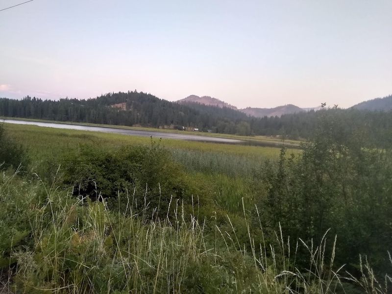
Cool creek corridors are the defining feature of Coal Creek Trail No. 41 in the Coeur d’Alene River region. Forest Service information describes a shaded riparian path that follows Coal Creek through mossy rocks, ferns, and a series of cascades.
Access begins north of Interstate 90 from the Kingston exit, then follows Forest Highway 9 for about 13 miles to the signed turnoff. The trail accommodates hikers, mountain bikers, and horseback riders, so walkers should remain alert around bends and allow other users to pass.
No official distance appears on the current recreation page, making a time-based out-and-back more responsible than promising one standard mileage. Turn around while enough water and energy remain for the return.
Creekside shade can soften sun, but humidity, climbing, and August temperatures may still make the route strenuous. Natural water should be filtered or treated before drinking.
Wet rocks, slick roots, overgrown vegetation, and fallen branches are possible along the drainage. Idaho Panhandle National Forests currently lists high fire danger and several alerts, though Coal Creek itself is not shown among the featured closures.
Conditions can change quickly. Contact the Coeur d’Alene River Ranger District before departure and follow every sign posted at the trailhead.
8. Goose Creek Falls Trail
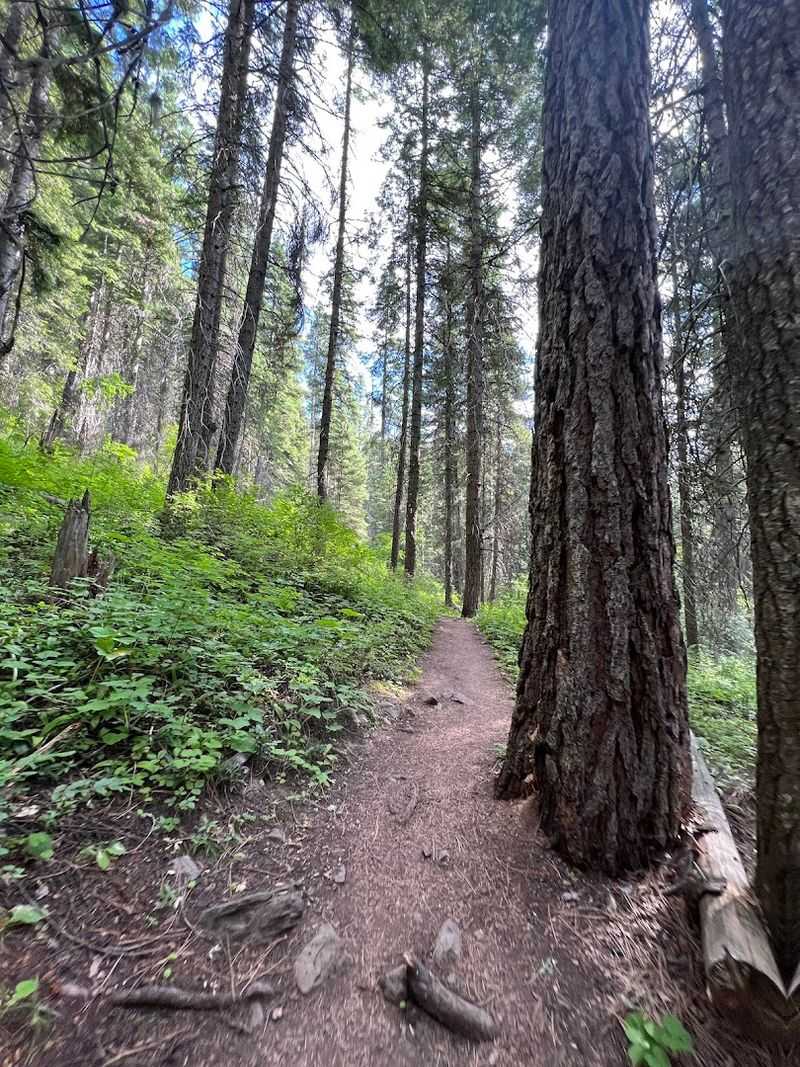
Running water and dense forest make Goose Creek one of the more practical summer hiking corridors near McCall. Two approaches reach the waterfall area.
From Last Chance Campground, Goose Creek Trail No. 353 climbs gently for roughly two miles before a steep spur leads toward the falls, creating a lower-route outing of about 5.5 miles round trip.
From the Gordon Titus parking area on Goose Lake Road, Trail No. 354 descends 1.3 miles to Goose Creek, then continues less than a quarter mile south for a view of the cascade.
Remember that the upper approach requires a steady climb on the return. Forest Service guidance also warns that banks near the falls are steep.
Stay on stable ground and avoid scrambling toward the water for a closer photograph. Trees shade much of the creek corridor, though trail openings still receive sun.
Vault toilets are available at the upper trailhead, and Last Chance Campground provides another established starting point. Mountain bikes may use both routes, so hikers should listen for approaching riders.
August conditions can include dust, smoke, or fallen trees. Check Payette National Forest updates before traveling, bring treated drinking water, and choose the approach that suits the group’s fitness.
9. Murdock Creek Trail
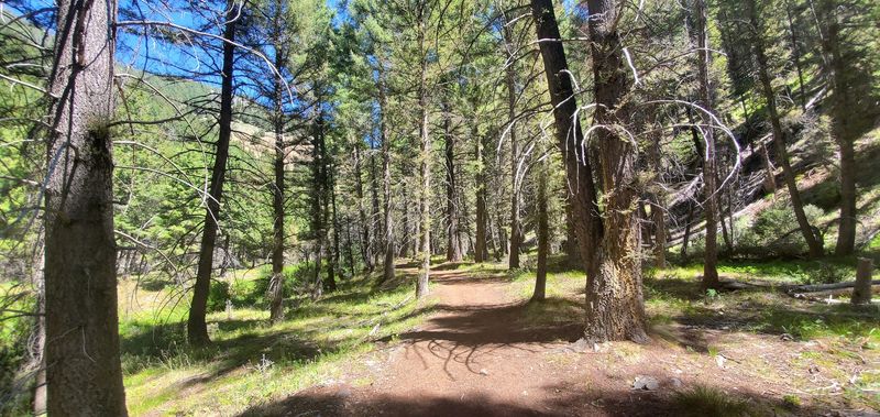
Creekside Douglas-fir gives the opening mile of Murdock Creek Trail its strongest August appeal. Built for accessible use in 2010, this first section is approximately 36 inches wide and surfaced with crushed gravel and compacted dirt.
Two bridges cross Murdock Creek before the route reaches the end of its accessible portion near the one-mile mark. Shade, flowing water, and several picnic spots make that lower section useful for visitors who want a shorter outing.
Beyond one mile, the experience changes. The trail narrows into single-track, crosses talus, and climbs more steeply along the canyon wall.
Wheelchairs, strollers, and hikers seeking an easy walk should turn around before that transition. Murdock Creek Campground lies nearby, but potable water is unavailable there, so every visitor should arrive prepared.
Forest cover does not eliminate summer heat, and the more exposed canyon slopes can warm quickly. Early morning remains the safer choice during a high-temperature forecast.
Sawtooth National Forest currently reports very high fire danger and recommends checking district conditions before recreation. Downed trees and rough surfaces may appear after wind events.
Use the first mile for a manageable shaded walk, then continue only when footwear, fitness, time, and weather support a longer route.
10. Fishhook Creek Trail
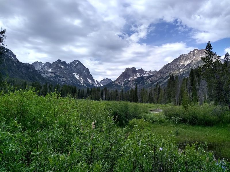
Pine forest and a meadow give Fishhook Creek Trail a balanced mix of shade and mountain scenery near Redfish Lake. The Forest Service lists the family-friendly route as an easy four-mile round trip, with bicycles allowed only to the Sawtooth Wilderness boundary and no electric bicycles permitted.
Trees cover much of the approach, while the meadow at the main turnaround is exposed and can feel hot under midday sun. Reaching it early improves comfort and also helps with summer parking near Redfish Lake.
The path follows Fishhook Creek through gentle terrain, making it more approachable than many nearby alpine hikes. Continue beyond the meadow only with an accurate map and realistic expectations, since the maintained experience becomes less distinct farther into the wilderness.
Dogs, group size, and wilderness rules should be checked before departure. Current Sawtooth National Recreation Area conditions report open roads and facilities but warn that high-elevation trails may still contain snow, fallen trees, and rough crossings.
Fishhook sits lower than many of those routes, yet local conditions can still change after storms or wind. Carry water, protect exposed skin at the meadow, and avoid stepping into fragile creekside vegetation while looking for a cooler place to rest.
11. Cabin Creek Trail
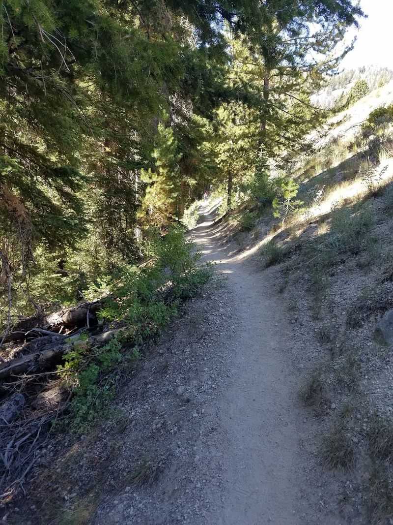
Old-growth Douglas-fir shades the lower portion of Cabin Creek Trail before the route climbs into brighter meadows and higher country. From the trailhead reached by Forest Road 207 south of Stanley, hikers can follow Trail No. 191 toward five small lakes identified by their elevations.
Visit Idaho describes the full out-and-back as about 7.2 miles with roughly 1,750 feet of elevation gain, while the Forest Service lists the trail as 3.6 miles one way. Those numbers make this a moderate mountain hike, not an easy shaded stroll.
Forest cover helps during the opening miles, but open slopes, lake basins, and sustained climbing can feel hot in August. Begin early and carry enough water for the entire return.
Several creek crossings may leave feet wet, and fallen trees can slow progress. The latest detailed Forest Service trail report available online is older than the current season, so call the Sawtooth National Recreation Area office for a fresh condition update.
A wilderness permit may be required at the boundary, and standard Sawtooth Wilderness rules apply. Cabin Creek offers shade, wildflowers, and alpine scenery, but its length and elevation gain demand more preparation than the shorter cedar-grove walks elsewhere on this list statewide.
12. Left Fork Cherry Creek Trail
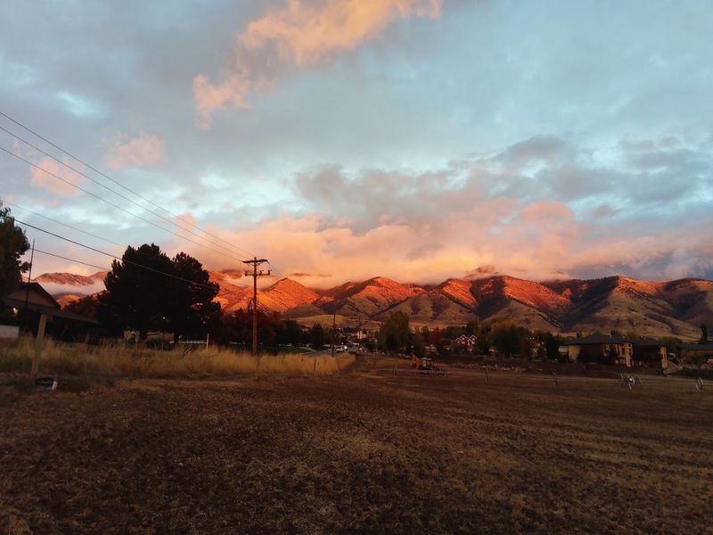
Mixed forest and flowing water give Left Fork Cherry Creek a shaded beginning in southeastern Idaho’s Bannock Range. The route starts near Cherry Creek Campground southwest of Downey and follows an off-highway-vehicle trail that is also open to hikers.
Conifers and deciduous trees cover portions of the corridor, while sage-covered hillsides and higher slopes receive full sun. Visitors seeking August relief should choose a shorter out-and-back, begin early, and avoid expecting continuous canopy.
Published route options range from roughly one mile to an 11-mile round trip with as much as 4,000 feet of elevation gain. Around four miles, a pass provides a sensible turnaround for stronger hikers who do not intend to continue toward Oxford Peak.
Creek crossings are usually easier in summer than during spring runoff, though water levels still vary after storms. Because motorized riders may use the same trail, hikers should stay visible, listen, and step aside safely when vehicles approach.
Cell service can be unreliable, making a downloaded map essential. Wildlife lives throughout the drainage, so food should remain secured and animals should receive space.
Left Fork Cherry Creek works best as a flexible forest outing, not a guaranteed cool walk or a quiet pedestrian-only trail.