10 Overlooked Idaho Hikes Worth Seeking Out In 2026
The trail everyone posts online is rarely the one I’m most curious about. Give me the turnoff people keep passing.
Idaho has lesser-known hikes where blue springs, alpine lakes, waterfalls, and big ridgeline views make skipping the famous routes feel like a pretty good decision.
Some of these trails are short enough for a spontaneous stop. Others ask for more effort and reward hikers with a much bigger day outside.
That mix is exactly why I would keep several saved. You never know when the weather, energy level, or road trip suddenly creates an open afternoon.
Pack the water anyway. One overlooked trail might become the reason you remember the trip.
1. Kane Lake Trail, Sagle
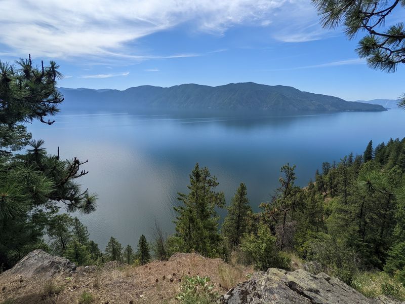
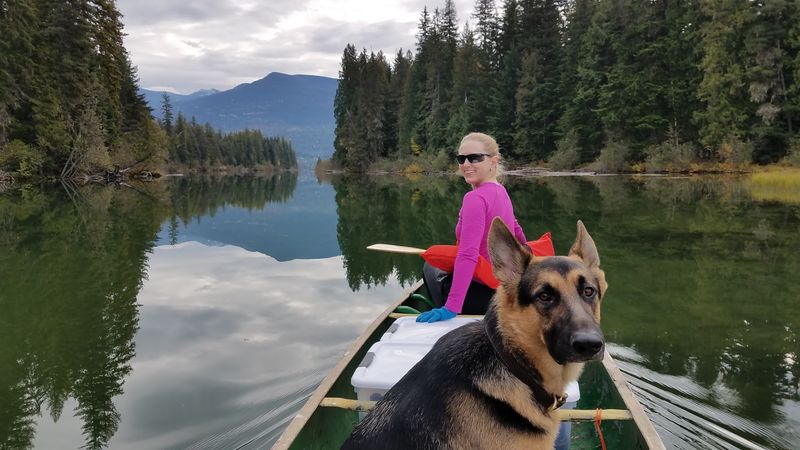
Northern Idaho hides a shoreline that looks pulled from a coastal rainforest. Moss drapes the cedars here.
The route out of Sagle climbs along rugged cliff-shore paths that dip low into deep, damp forest. Ferns crowd the edges of the tread. Light filters down in green streaks.
Then the canopy breaks open. Kane Lake Trail delivers a view of the Monarch Mountains and Scotchman Peaks mirrored in still water. That reflection alone justifies the drive.
Footing gets slick after rain, so bring boots with real grip. Trekking poles help on the steeper cliff sections. Sections near the water can stay muddy well into June.
Late July through September gives you the driest tread and warmest air. Mornings tend to be calm, which means better reflections in the lake.
Bear spray belongs in your pack out here. Black bears roam the drainage, and moose browse the wetter pockets.
Cell service fades quickly, so download your map before leaving town. Tell someone your plan. Pack extra layers even in August. Shade under the old growth keeps temperatures surprisingly cool.
Few hikers make the trip, which keeps the shoreline peaceful. Sit on a rock, eat lunch, and let the mountains do the talking.
2. Jump Creek Falls Trail, Marsing
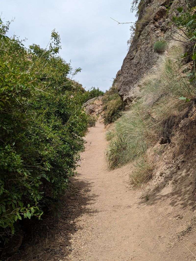
Sounds too good to be true, but there is a waterfall in the middle of Idaho sagebrush country. Water really does fall through the desert here.
Jump Creek Falls Trail near Marsing runs short, roughly a quarter mile each way. Kids handle it easily. Grandparents handle it too.
You scramble over a few boulders before the canyon narrows. Then the largest falls in Owyhee County appears, dropping into a cold pool.
Spring is peak season. Snowmelt swells the creek and the flow roars against the rhyolite walls.
By August the water thins considerably, though the shade still cools things down. Summer afternoons in the high desert get seriously hot. Go early. Parking is limited, and the small lot fills fast on weekends.
The access road is rough gravel in stretches. A low-clearance car can make it, but drive slowly and watch for washboard.
Rattlesnakes live in the surrounding rocks, so keep dogs leashed and eyes down. Shade is scarce outside the canyon walls. Bring water, sunscreen, and a hat. There are no services once you leave the highway.
Photographers love the golden light bouncing off the cliffs late in the day. A tripod turns the falls silky. Few desert surprises land this well for so little effort.
3. Polecat Trail #81, Boise
City-adjacent trails usually disappoint me. This one changed my mind fast.
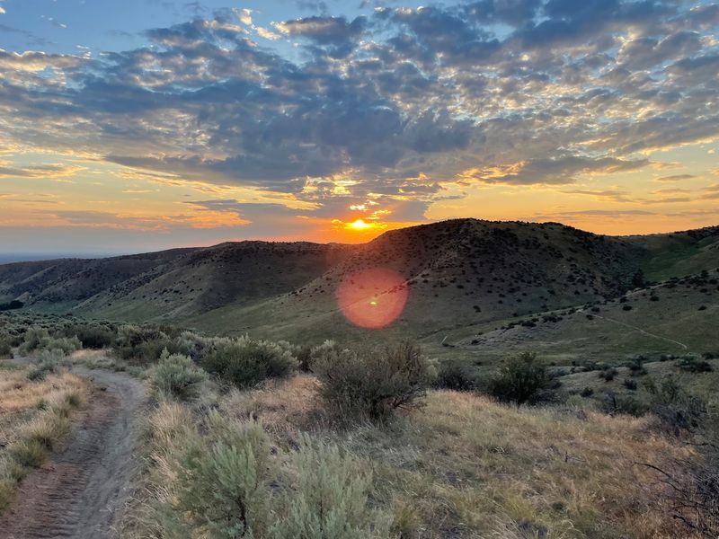
Polecat Trail #81 climbs through the sagebrush foothills right above Boise. The tread winds along open ridges with almost no shade.
Views stretch across the entire Treasure Valley. On clear evenings you can watch the whole grid light up below.
Loop options run around six miles with moderate elevation gain. Trail runners love it. Mountain bikers share the route, so listen for wheels behind you.
Spring brings arrowleaf balsamroot in bright yellow waves. April and May are the sweet spot for color and comfortable temperatures.
Summer midday heat is brutal on these exposed slopes. Aim for sunrise or the hour before dusk.
Fall works beautifully too, with crisp air and golden grasses. Winter turns the clay into sticky mud, which damages the tread, so skip it after storms.
Dogs are welcome and common here. Bring extra water for them since there is no creek along the way. Parking sits close to neighborhoods, and the lot is modest. Arriving early saves frustration.
Rattlesnakes sun themselves on warm days, so stay on the path. Ticks show up in spring grass. Ten minutes from downtown, and it still feels wonderfully far away.
4. Lower Cedar Creek Falls Trail, Near Salmon
Ever wanted a waterfall entirely to yourself? Out here, that happens more often than not.
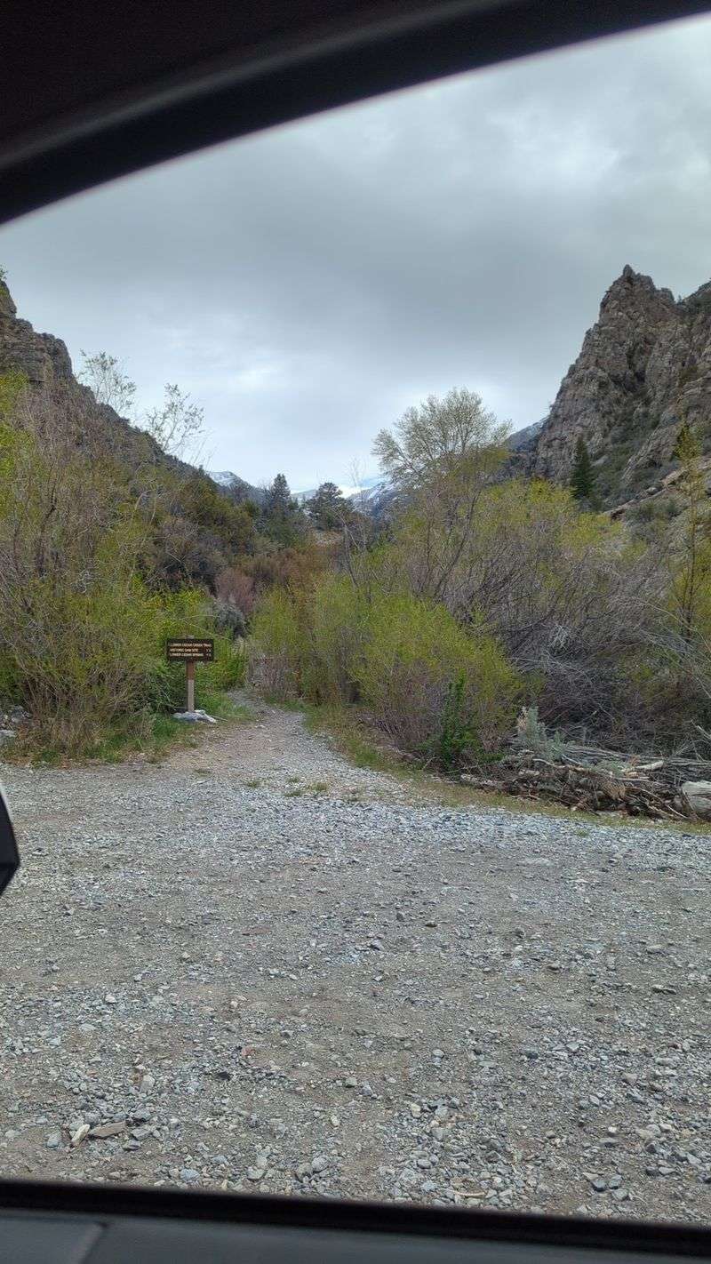
Lower Cedar Creek Falls Trail sits inside the Salmon-Challis National Forest, reached by driving out from Salmon. Remote hardly covers it.
The path stays short and manageable, following the creek through pine and fir. Water noise builds as you go. Then the cascade appears, tumbling over mossy rock into a shaded pool. Cool air rolls off the spray.
Getting there is half the adventure. Forest roads are dusty, narrow, and occasionally rutted, so higher clearance helps.
Check road conditions with the ranger district before heading out. Snow lingers at elevation into late spring.
June and early July bring the strongest flow. By September the falls quiet down but the forest colors warm up.
There are no restrooms, no signage worth mentioning, and no cell coverage. Pack accordingly. Bring a paper map or a downloaded GPS track. Junctions can be confusing without one.
Wildlife sightings are common. Elk, mule deer, and the occasional black bear move through the drainage.
Make it a full day trip and combine it with a drive along the Salmon River. The scenery between stops rivals the hike itself. Solitude this complete is getting rare, so treat it kindly.
5. Box Canyon Springs Trail, Twin Falls
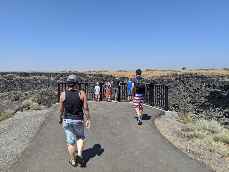
My jaw dropped at the color of the water. Photos genuinely do not capture it.
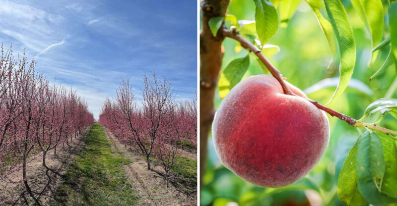
Box Canyon Springs Trail drops from the desert rim near Twin Falls into a hidden basalt canyon. The descent is steep but short.
At the bottom, springs pour from the walls into pools of impossible blue. The water runs so clear you can count grains on the sandy bottom.
These springs rank as the 11th largest in North America by volume, flowing at roughly 180,000 gallons per minute. Cold water surfaces here after traveling underground for years.
The full out and back runs a few miles. Elevation loss on the way in means a climb on the way out.
Bring sturdy shoes for the rocky access route. Loose gravel makes the steep section tricky.
Swimming is restricted in protected areas, so read the posted signs. Protecting water quality keeps that blue intact.
Spring and fall bring mild temperatures and fewer people. Summer heat on the rim gets intense by noon. Birdwatchers do well here. Hawks nest in the cliffs and songbirds work the willows.
Facilities are minimal, so carry your own water despite the irony of standing beside a spring. Give yourself extra time at the bottom. Nobody rushes away from water that shade of turquoise.
6. Stevens Lake Trail, Panhandle National Forest
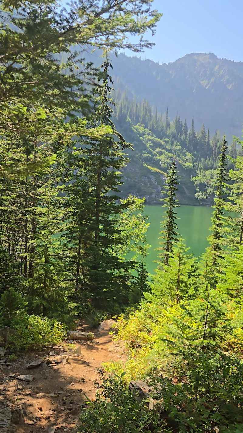
If you already chase alpine swimming holes, this destination is for you. If not, prepare to be converted.
Stevens Lake Trail sits in the Panhandle National Forest, not far from the Hiawatha Trail. Two very different outings, one great weekend.
The climb works steadily uphill through thick evergreen cover. Roots and rocks keep the footing interesting.
Your reward is an emerald-green mountain lake tucked beneath rocky slopes. On warm afternoons, that water is worth the burning quads.
Swimming here is brisk, and that is putting it politely. Sun-warmed boulders along the shore make excellent drying racks.
Snow can block the upper trail into early summer. Mid-July through September is the reliable window.
Mosquitoes arrive with the snowmelt, so pack repellent for early season trips. Later summer thins them out. Round trip lands in the moderate range, but the elevation gain adds up. Take breaks and enjoy the forest.
Huckleberries ripen along parts of the route in August. Bears enjoy them too, so make noise as you walk. Parking areas are small and unpaved. Weekend mornings fill first.
Bring a light layer even on hot days. Wind across the lake surface cools things quickly. Some hikes earn their reputation quietly, and this one has been doing that for years.
7. Upper Hazard Lake Trail, near McCall
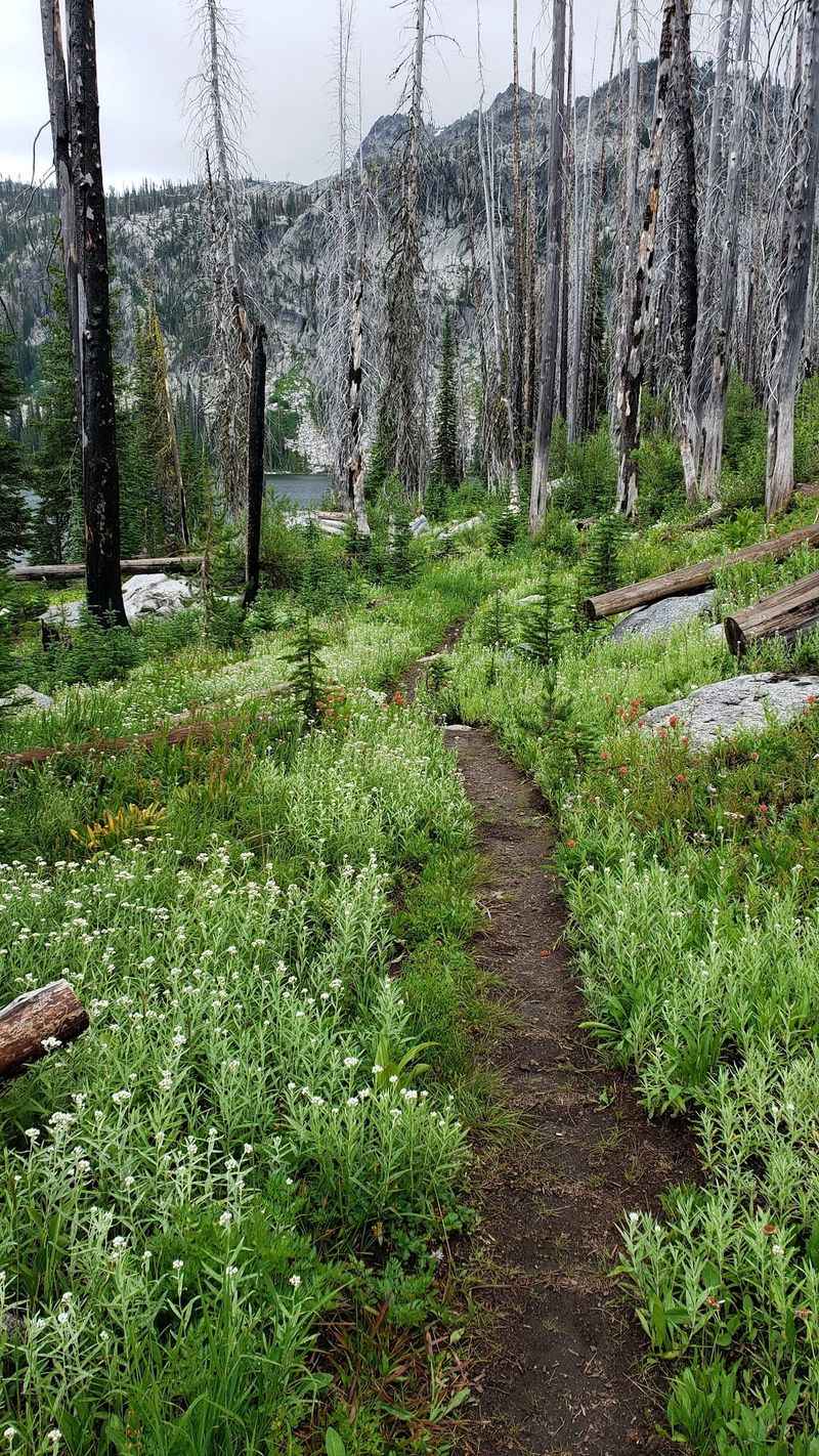
Just imagine for a second: knee-high wildflowers, granite towers, and hardly a soul around. That is a normal Tuesday here.
Upper Hazard Lake Trail near McCall keeps the grade friendly, which is rare in high country. Families manage it well. Meadows fill with paintbrush, lupine, and columbine through midsummer. Color peaks in July most years.
Above the flowers, 8,607-foot Bruin Mountain flanks the basin. Granite catches morning light beautifully. The access road from town is long and mostly gravel. Budget more driving time than you expect.
Snow melts out late at this elevation. Aim for mid-July through September for clear tread and open meadows. Campgrounds sit nearby, making an overnight easy. Waking up to that mountain view starts a day right.
Fishing draws a small crowd to the lakes. Check current regulations before casting. Afternoon thunderstorms build fast in the mountains. Start early and watch the sky.
Mosquitoes are aggressive during peak bloom. Long sleeves and repellent solve the problem.
Leave the flowers where they grow and stick to the path. Meadow soils recover slowly at this elevation. Pack a lunch and linger by the shore. Rushing through scenery this generous would be a shame.
8. Boulder Lake Trail, Near McCall
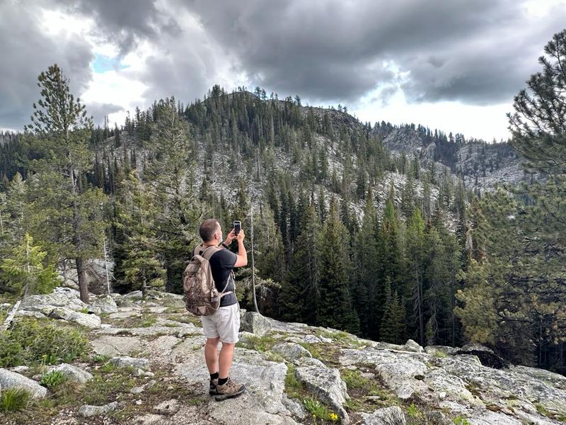
Correct me if I am wrong, but empty trailheads have become a luxury item. Here is one that still delivers.
Boulder Lake Trail near McCall sees remarkably little traffic. Barely any travelers make the effort, which is exactly the appeal.
Pine forest lines most of the route, with granite chunks scattered through the understory. The grade climbs gently at first.
Water appears through the trees before you reach it. The lake sits calm and dark in the early morning. Anglers do well here. Bring a rod if you enjoy quiet casting without an audience.
Backpackers can find flat ground for a tent near the shore. Follow Leave No Trace and camp well back from the water. Access involves forest roads that get rough in patches. Check conditions after storms.
July through early October usually stays clear of snow. Fall brings crisp mornings and golden light through the pines. Wildlife moves through regularly. Deer, osprey, and the occasional bear make appearances.
No services exist at the trailhead, so fill up in town. Bring a water filter for longer stays. Mornings are the calmest, with mist hanging low over the surface. Bring coffee in a thermos.
Quiet like this deserves protecting, so pack out everything you carry in.
9. Taylor Canyon Loop Trail, Near Sandpoint
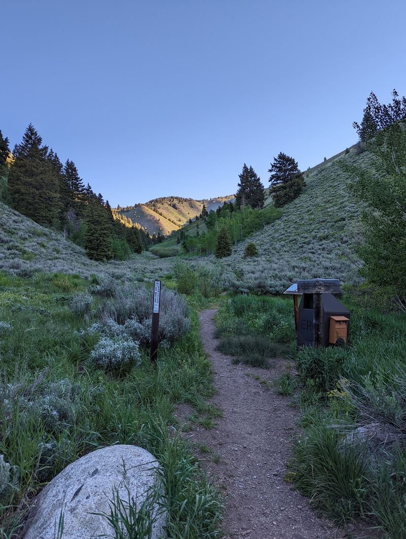
Let me be real for a second: switchbacks get a bad reputation. This loop makes them worth every zigzag.
Taylor Canyon Loop Trail near Sandpoint runs just over four miles. Do not let the modest distance fool you. More than 1,200 feet of elevation gain stacks up quickly. Your legs will notice by the halfway mark.
The route threads through pine forest and aspen groves. Autumn turns those aspens electric gold. Because it is a loop, scenery keeps changing. You never retrace the same view twice.
Shade covers most of the climb, which helps on warm days. Cool air pools in the lower canyon. Spring can leave the trail muddy from snowmelt. Late May through October usually offers the best footing.
Trail runners use this one for hill repeats. Hikers should step aside on narrow corners. Bring at least a liter of water per person. Reliable water sources are limited along the route.
Dogs handle the grade fine but appreciate breaks. Leashes keep everyone comfortable on tight switchbacks.
Sandpoint sits close enough for a post-hike meal. Lake Pend Oreille is right there too. Finish the loop, stretch your calves, and admit the climb was completely worth it.
10. Devil’s Staircase, Near Driggs
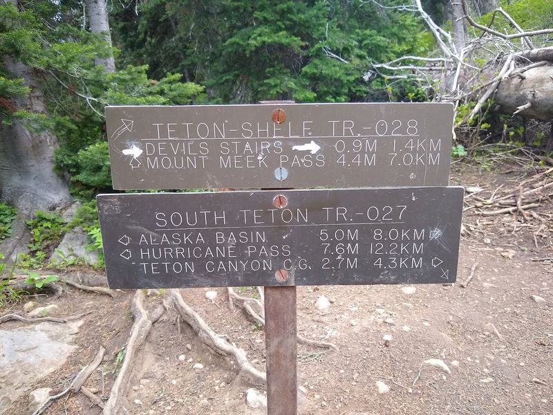
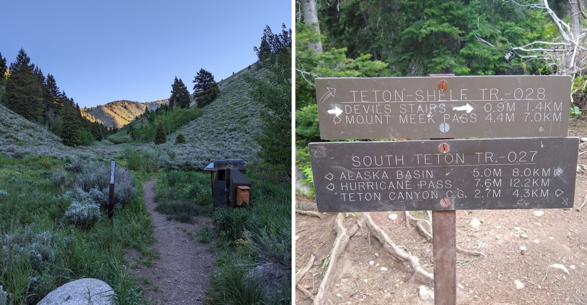
Devil’s Staircase climbs the Idaho side of the Tetons, reached from Driggs. Crowds stay east, chasing the famous park entrances.
Steep hardly describes the grade. The route earns its name within the first mile. Rocky tread and relentless climbing demand solid boots. Trekking poles save knees on the descent.
Views open toward jagged peaks that most people only photograph from the other direction. That perspective alone is worth the burn.
Snow lingers high into July. Late summer through early fall gives the safest conditions. Start early to avoid afternoon storms rolling over the crest. Weather changes fast at altitude.
Carry more water than you think you need. The climb dehydrates hikers quickly. Bear spray is standard equipment in this range. Grizzlies do move through the region.
Teton Valley towns sit close by for supplies and post-hike food. Driggs makes a practical base. Fitness matters here, so build up before attempting it. Beginners will struggle with the sustained pitch.
Reach the top, catch your breath, and enjoy a Teton view earned the hard way.