10 Secluded Hiking Trails In Arizona Tourists Rarely Explore
The best trailhead is sometimes the one without a packed parking lot.
Across Arizona, quieter routes lead into alpine meadows, desert canyons, volcanic slopes, hoodoo formations, and long ridgelines that rarely get the same attention as the famous names.
That extra solitude comes with a little responsibility.
Road conditions can change, water sources may be limited, and tougher climbs deserve more planning than a casual morning walk. The payoff can be huge!
Wide-open views, cold springs, wildlife, and long stretches of silence make these hikes feel far removed from the usual sightseeing circuit.
Check conditions, carry more water than you think, and let the empty trail do the rest.
1. Arizona Trail Passage 34: San Francisco Peaks, Flagstaff
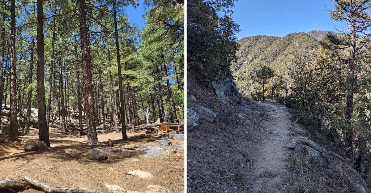
Two completely different landscapes on one trail. Alpine forest gives way to high desert within a single day of walking.
Arizona Trail Passage 34 runs north of Flagstaff along the west side of the San Francisco Peaks. The official route covers 35.5 miles point to point and carries a moderate difficulty rating.
Dense pine, spruce, and aspen forests climb to about 9,000 feet. Ferns carpet shaded pockets along the path. Meadows open up suddenly, framed by white aspen trunks.
Humphreys Peak dominates the skyline at 12,633 feet, Arizona’s tallest summit. Older burn scars have reshaped sections of forest here. Those openings actually reveal wider views than the thick timber allows.
Backpackers should not count on steady water here. Water can usually be found at Alfa Fia Tank and East Cedar Tank, but the Arizona Trail Association advises checking its current water report and treating all collected water.
Snow lingers at higher elevations well into spring, so check conditions first. Layers matter, since mountain weather flips fast up there. Afternoon storms roll in during summer monsoon months.
The southern access point is at Schultz Pass, reached from Flagstaff via Schultz Pass Road, with a small parking area beside the trail. Bring a map and check current road conditions before heading out.
The full 35.5-mile passage extends well beyond the shorter recreation routes around Flagstaff and transitions from high forest into open high-desert terrain.
2. Arizona Trail Passage 23: Mazatzal Divide, Payson
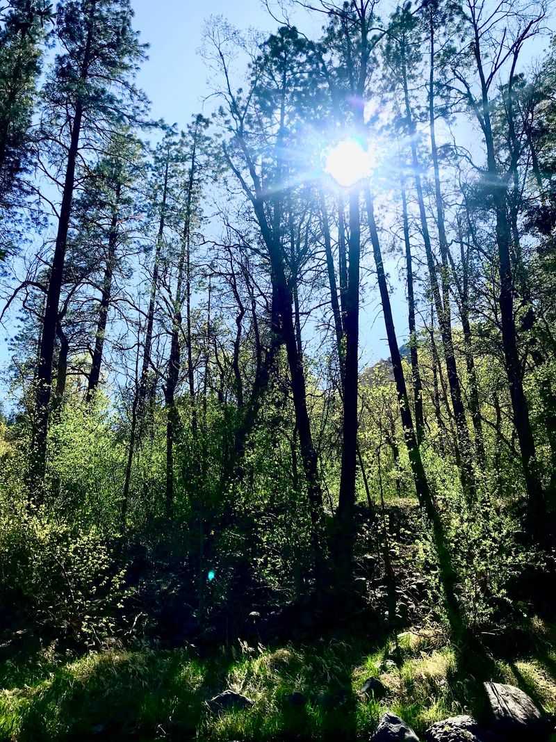
This one demands respect from the first mile. The climb up Mount Peeley starts steep and stays that way.
Mazatzal Divide covers the longest continuous wilderness stretch on the entire Arizona Trail. It sits southwest of Payson, deep in the Mazatzal Mountains.
The Arizona Trail Association officially rates the 24.1-mile Mazatzal Divide passage as moderate, though its remote wilderness setting makes careful planning essential.
Switchbacks lift you onto a ridgeline with views that keep unfolding. The path skirts deep canyons and traverses steep, rocky slopes. Old-growth ponderosa pine, alligator juniper, and scrub oak line the way.
Red rock cliffs mark Mazatzal Peak, followed by thick tangles of manzanita. Valleys spread west, and the East Verde River threads below. On crisp days, the snowy San Francisco Peaks appear 75 miles off.
Geology buffs get a treat here. These mountains formed during a building event 1.7 to 1.6 billion years ago. That makes the rock underfoot genuinely ancient.
Water can usually be found at Bear Spring, Chilson Spring, Horse Camp Seep, and Hopi Spring, but hikers should check the current Arizona Trail water report and purify anything collected.
Solitude runs deep, and encountering another hiker is uncommon. Cell service disappears quickly, so tell someone your plan.
Reach the Mount Peeley Trailhead via Forest Roads 627 and 201, and check current road conditions before making the remote drive.
3. Kelsey-Dorsey Loop, Flagstaff
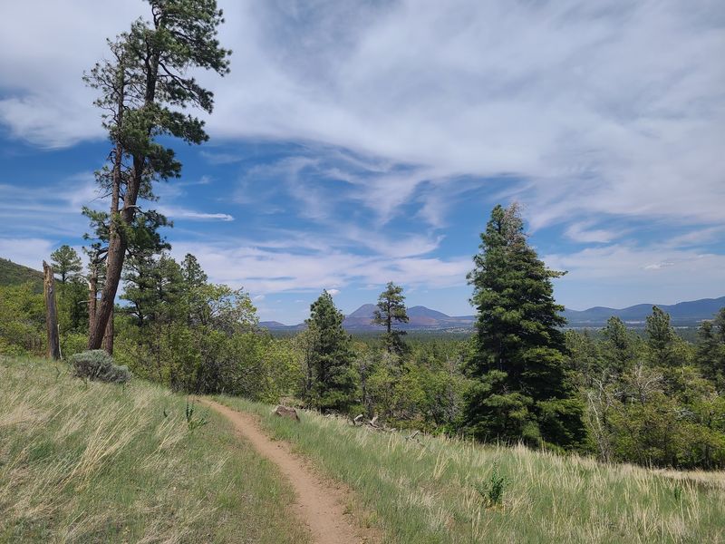
Some enormous old ponderosas stand along the route, including a dead specimen reported at roughly 20 feet in circumference rather than 20 feet wide.
The Kelsey-Dorsey Loop threads through Sycamore Canyon Wilderness, southwest of Flagstaff. That wilderness ranks among Arizona’s oldest protected areas. The loop covers around seven miles of moderate to strenuous ground.
Your descent begins in shade, under ponderosa pine, Douglas fir, Gambel oak, and alligator juniper. Cool air pools in those wooded pockets even during summer. Birdsong replaces traffic noise almost immediately.
Views open toward Sycamore Canyon, Arizona’s second-largest canyon system. The route descends below the upper rim and reaches benches overlooking Sycamore Canyon without dropping all the way to the canyon floor.
Springs including Dorsey and Babe’s Hole add greener pockets to the route, but water sources in Sycamore Canyon Wilderness can be unreliable and should never be assumed available. Filter or treat any water you collect there.
Solitude ranks high on this loop, partly because access takes effort. Pack a paper map, since junctions can confuse first-timers.
Access comes via Forest Road 231, also called Woody Mountain Road, in Flagstaff. Final dirt sections may need a high-clearance vehicle after rain.
4. Bear Mountain Trail, Sedona
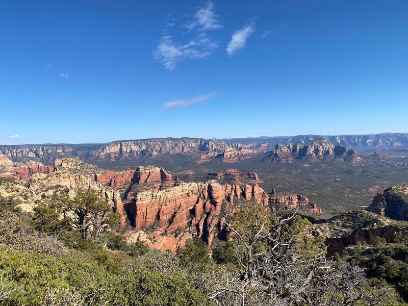
Bear Mountain earns its strenuous reputation quickly, climbing more than 1,800 feet over roughly 2.3 miles to the top, with total accumulated gain around 2,100 feet.
Bear Mountain Trail rises above Sedona as a strenuous 4.6-mile round-trip hike. Four distinct uphill steps break the ascent into stages. Each stage delivers a fresh view as reward.
Terrain shifts constantly along the way. Loose scree, steep pitches, and short hands-on scrambles keep things interesting. Red rock underfoot eventually turns to bright white checkerboard sandstone slabs.
Summit views run a full 360 degrees. Fay Canyon, Doe Mountain, and Mescal Mountain spread below. Clear mornings reveal the San Francisco Peaks far to the north.
Shade barely exists on this trail, which shapes your timing. Early starts beat the heat and catch a spectacular sunrise. Summer afternoons here can turn dangerous quickly.
Carry more water than you think you need, since none exists along the route. Sturdy shoes with real grip help on the slick slab sections. Trekking poles ease the descent on tired knees.
The Bear Mountain Trailhead sits across from the FR 152C parking area off Boynton Pass Road; check current Coconino National Forest parking and pass requirements before arrival.
The difficult climb can feel more demanding than many shorter Sedona hikes, but visitor levels vary and solitude should not be expected.
5. White Rock Springs, Mesa
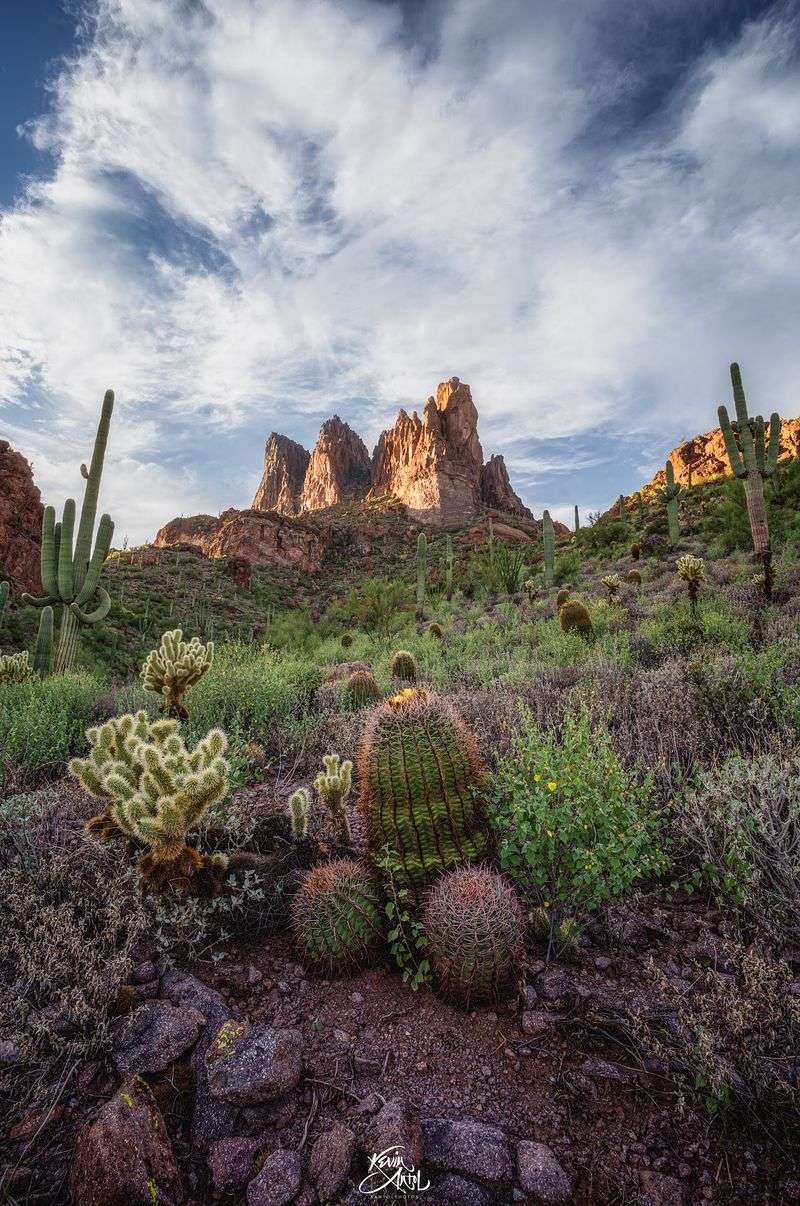
Lost gold mines, volcanic peaks, and cacti older than your grandparents. The Superstition Wilderness stacks legends on top of scenery.
White Rock Spring lies within the Superstition Wilderness northeast of Apache Junction and can be incorporated into several longer backcountry routes from the First Water area.
Trails here climb steep, loose, rocky ground before dropping into canyons. Saguaros over a century old stand along the route. Weavers Needle spikes the horizon, unmistakable from miles away.
Spring transforms the desert floor. Wildflowers explode in white, gold, purple, and burnt orange across the slopes. Cooler mornings make March and April prime hiking time.
Volcanic activity millions of years ago shaped these mountains. Lost-mine legends remain part of Superstition Mountains lore, but hikers should rely on current maps, weather information, and trail conditions when exploring the wilderness.
Navigation skills matter out here, because side trails multiply fast. Carry a real map and plenty of water, since the desert takes moisture quickly. Summer heat makes this terrain unsafe for casual outings.
Trailheads see traffic, but deeper sections go remarkably quiet.
First Water Trailhead is reached from State Route 88 northeast of Apache Junction via roughly 2.5 to 3 miles of Forest Road 78.
The road is generally accessible to passenger vehicles in normal dry conditions, though conditions can change after storms.
6. West Baldy Trail, Eagar
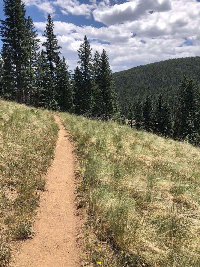
Cool alpine air in Arizona surprises almost everyone who tries it. Up here, sweaters beat sunscreen most mornings.
West Baldy Trail, also numbered Trail 94, climbs through high-country wilderness near Eagar in the White Mountains. Mount Baldy is the remnant of a large volcanic mountain rising above 11,400 feet, but it is not Arizona’s second-highest peak.
The West Baldy route is about 14 miles round trip, climbing from roughly 9,287 feet to an accessible high point around 11,420 feet.
Sources describe it as moderate to strenuous depending on the guide. Thin air slows most hikers more than the grade does.
Early miles follow the West Fork of the Little Colorado River through open meadows. Grass, wildflowers, and clear water make for gorgeous walking. Spruce and fir forest takes over as you gain height.
Volcanic rock outcrops appear near the upper reaches, twisted and dramatic. Elk and deer feed in the meadows at dawn. Bring binoculars, since wildlife sightings come often.
The summit area lies on Fort Apache Indian Reservation land and is closed to non-tribal members, so hikers must respect the reservation boundary. Views from that spot still stretch for miles.
Summer and early fall work best, as snow closes access much of the year. Afternoon thunderstorms build fast above treeline.
Find the West Baldy Trailhead along Highway 273 near Eagar. Few Arizona hikes feel this green and cool.
7. Mount Wrightson Super Trail, Green Valley
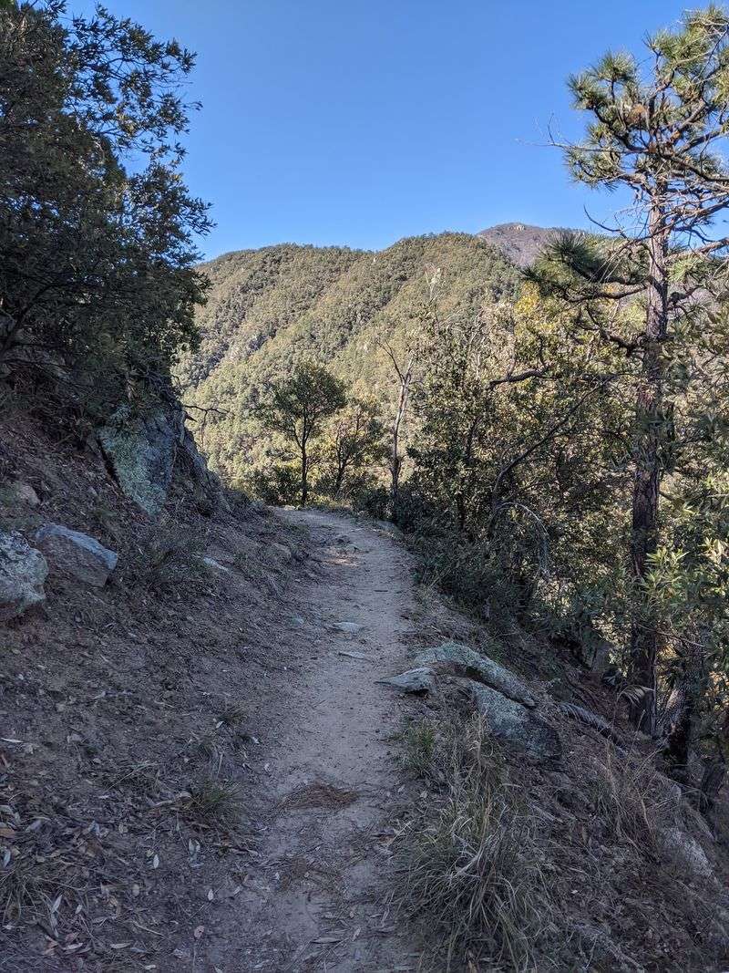
Madera Canyon is internationally known for birding, with more than 250 bird species and 15 hummingbird species documented in the area.
Mount Wrightson Super Trail begins in Madera Canyon near Green Valley, climbing the Santa Rita Mountains.
The route stretches roughly 16 miles round trip to the summit and back. Grades stay gentler than the shorter Old Baldy route, trading steepness for distance.
Switchbacks wind steadily upward through oak, juniper, and eventually tall pine.
The Super Trail follows a more south-facing and exposed route than Old Baldy in places, so hikers should still prepare for sun and warm conditions. Elevation climbs from around 5,400 feet to nearly 9,500 feet.
Josephine Saddle and Baldy Saddle make natural rest stops. Both spots have signs and junctions worth studying carefully. Water sources exist but run unreliably, so carry your own supply.
Summit views sweep across southern Arizona in every direction. Desert valleys, ranch land, and distant ranges fill the horizon. On clear days the view reaches deep into Mexico.
Wildlife here includes coatis, deer, and an astonishing variety of birds. Sky island ecology creates habitat found almost nowhere else nearby. Spring and fall bring the richest bird activity.
Start at the Mount Wrightson Picnic Area on Madera Canyon Road near Green Valley and allow extra planning time during popular hiking and birding periods. Long days here end with tired legs and full memory cards.
8. Hualapai Peak Trail, Kingman
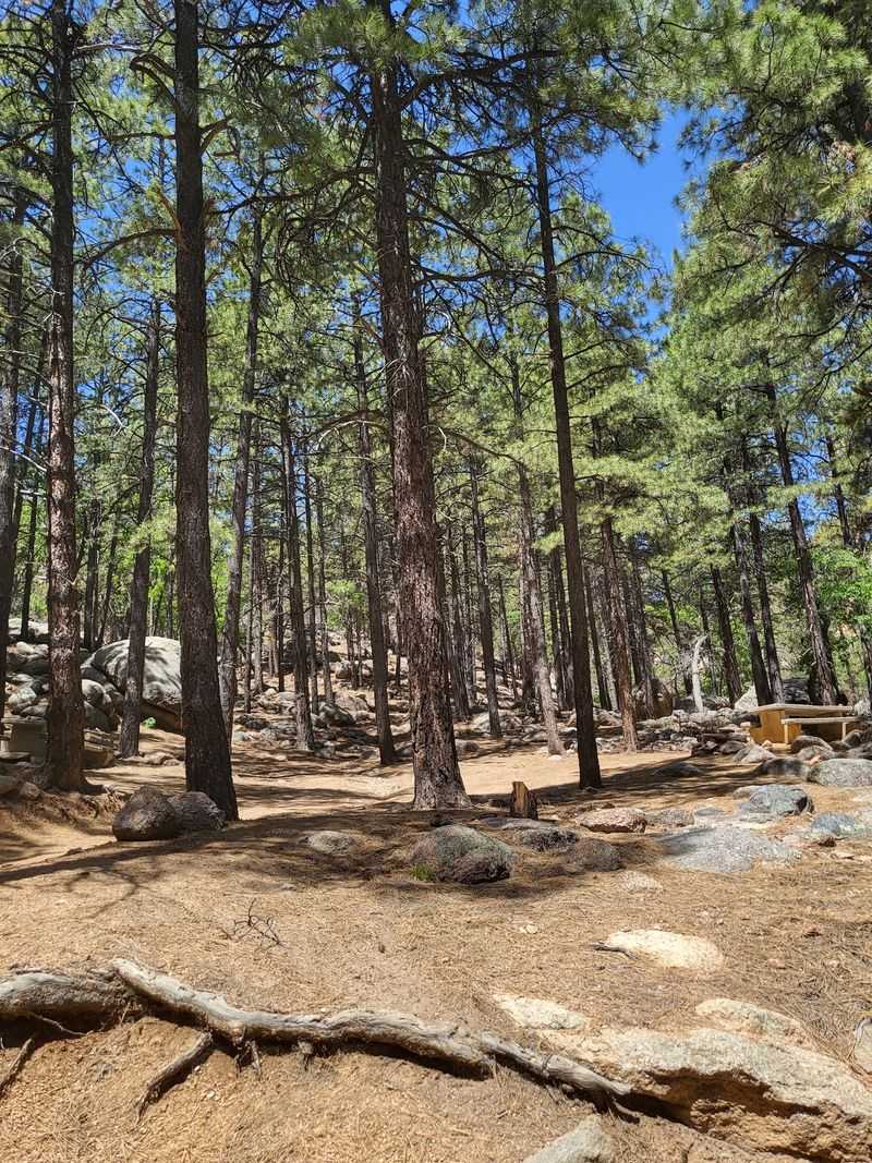
Pine trees near Kingman catch first-time hikers completely off guard. Desert surrounds this mountain, yet the summit stays cool and green.
Hualapai Peak Trail climbs inside Hualapai Mountain Park, southeast of Kingman. Mohave County lists Hualapai Peak at 8,250 feet.
Hualapai Mountain Park has more than 11 miles of interconnected trails, and the exact distance to Hualapai Peak depends on the route and trail connections used.
Granite boulders scatter across the slopes in enormous piles. Ponderosa pine, oak, and aspen shade long sections of trail.
The high-elevation forest can feel noticeably cooler than the desert around Kingman, especially compared with the lower valleys.
The final push turns rocky and requires some careful scrambling. Loose stone demands attention on the way down. Sturdy footwear is non-negotiable on this section.
Views from the top stretch across mesas, valleys, and distant ranges. Sunset light paints the surrounding desert in warm colors. Clear days deliver enormous, uninterrupted horizons.
The park itself includes campgrounds and rustic cabins for overnight stays. Making it a two-day trip removes any rush from the hike. Deer, elk, and plenty of birds share the forest.
Snow can cover upper sections during winter months. Late spring through fall generally provides the best conditions.
Access the trail from Hualapai Mountain Park at 6250 Hualapai Mountain Road near Kingman. The current day-use fee is $12 per vehicle for up to four people, with separate rates for additional passengers and certain exemptions.
9. Aravaipa Canyon, Winkelman
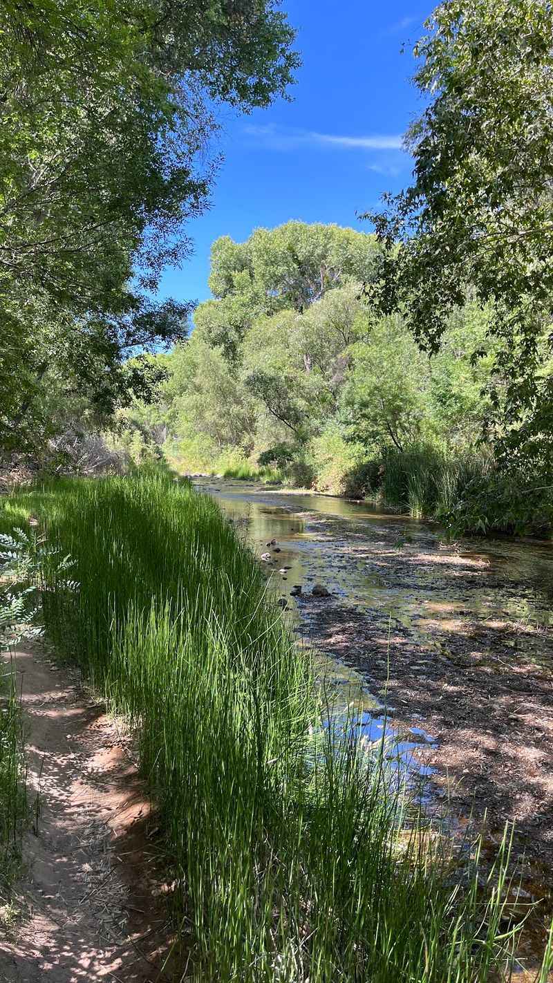
Water flowing year-round through an Arizona desert canyon sounds impossible. Aravaipa proves otherwise with a stream that never quits.
Aravaipa Canyon Wilderness sits near Winkelman, protecting about 11 miles of creek corridor. Hiking here means walking in and across the stream repeatedly. Expect wet feet from start to finish.
Towering cliffs rise hundreds of feet on both sides. Cottonwood, sycamore, and willow create a shaded green ribbon. Side canyons branch off, inviting slow exploration.
Permits are required and strictly limited to protect the fragile corridor. Wilderness use is capped at 50 people per day, with 30 permitted from the west entrance and 20 from the east; permits can be reserved through Recreation.gov.
Wildlife thrives in this perennial riparian corridor, including desert bighorn sheep and a rich variety of birds, fish, reptiles, and other desert species. Native fish populations make the creek scientifically important.
There is no maintained trail, so route-finding means following the water.
Progress is slower than ordinary trail hiking because much of the route follows or repeatedly crosses the creek, so allow generous time for the canyon. Sturdy shoes that drain well beat heavy boots.
Flash floods pose real danger during monsoon season. Check forecasts carefully and avoid the canyon during storms. Camping is allowed with the proper permit.
Reach the Aravaipa Canyon West Trailhead along Aravaipa Canyon Road near Winkelman. The final miles follow a rough dirt road.
10. Heart Of Rocks Loop, Willcox
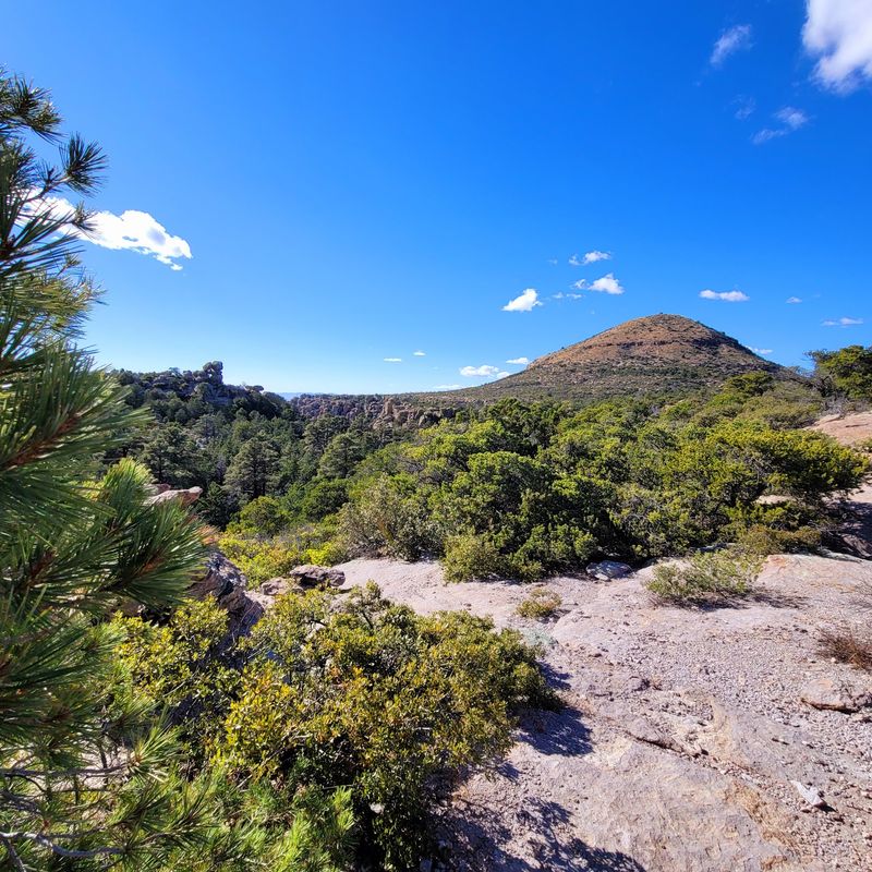
Rock towers balanced impossibly on narrow stems greet you around nearly every bend. Erosion did the sculpting over roughly 27 million years.
The current 2026 park guide lists Heart of the Rocks from Echo Canyon at 7.4 miles round trip with more than 1,000 feet of elevation change. Rated hard, it suits experienced hikers looking for a full day out.
Named formations line the route, each with real personality. Pinnacle Balanced Rock, Big Balanced Rock, The Old Maid, Camel’s Head, Thor’s Hammer, and Punch and Judy all appear. Photographers rarely make quick progress here.
The path mixes dirt, rocky stretches, and many stone steps. Signs mark the route and junctions, while hikers should carry the current park map for the long, rocky circuit. Hiking clockwise shows off the hoodoos best.
Shade comes and goes, so sun protection matters. Pack ample water and snacks for the full loop. Dogs are not permitted, protecting the fragile ecosystem.
This sky island supports white-tailed deer, coati, javelina, and over 200 bird species. Panoramic views reach across the canyon toward distant Cochise Head. The Chiricahua Apache called these formations standing-up rocks.
Civilian Conservation Corps crews built these paths during the 1930s, and the craftsmanship still shows.
Begin at the Echo Canyon Trailhead, about seven miles along paved Bonita Canyon Drive from the visitor center in Chiricahua National Monument.